2020s Maps of Oxford County, Maine
Explore 126 historic maps of Oxford County from the 2020s. These maps offer a rare glimpse into what life looked like during the 2020s — showing old roads, neighborhoods, homes, and landmarks that have changed or disappeared over time.
Whether you're researching your family's past, planning a metal detecting trip, or studying how Oxford County's landscape evolved across the 2020s, these high-resolution maps are a powerful tool for exploring the history of this region.
- Focus on a specific era: All maps on this page are from the 2020s, giving you a focused view of this time period.
- See what’s changed: Compare century-old streets, trails, and buildings to today's modern landscape using overlays and satellite layers.
- Research with precision: Use these maps for genealogy, historical research, land use analysis, or educational projects.
- View, download, or print: Maps are fully viewable online in high resolution, and can be downloaded or printed for your own records.
Start exploring Oxford County's history through authentic maps from the 2020s. This is your window into the past.
Oxford County, ME maps
(126)- 2021 Map of Parmachenee Lake, 2021 Print
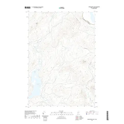 2021 Parmachenee Lake2021 Print · USGSThe northern Maine borderlands near Parmachenee Lake are captured in this recent survey of Oxford County. Map collectors and researchers can trace the course of the Magalloway River, find the remote Little Boy Falls, and locate the rugged Big Canyon.
 - 2021 Map of Little Kennebago Lake, 2021 Print
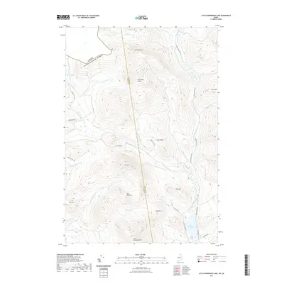 2021 Little Kennebago Lake2021 Print · USGSThe international border meets the Maine wilderness in this modern survey of the high-elevation divide between Franklin and Oxford counties. Trace the remote logging history along Cupsuptic Tote Rd and follow the waters from White Cap Pond down to Little Kennebago Lake.
 - 2021 Map of Kennebago, 2021 Print
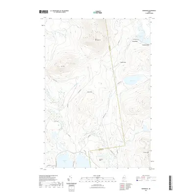 2021 Kennebago2021 Print · USGSThe Kennebago River valley remains a center for Maine's wilderness tradition, shown here in the 2020s as a landscape of timber ridges and sporting camps. Trace historical transport through the Abandoned Rail Rd and the lakefront settlements at Kennebago and Grants Camps.
 - 2021 Map of North Sebago, 2021 Print
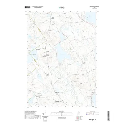 2021 North Sebago2021 Print · USGSCumberland and Oxford counties are shown here in the early twenty-first century, featuring a landscape of glacial ponds and family-named ridges. Genealogists can locate many local burial sites including Boulter Cem, Sanborn Cem, and Haley Cem.
 - 2021 Map of Kezar Falls, 2021 Print
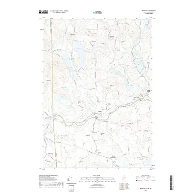 2021 Kezar Falls2021 Print · USGSThe Ossipee River valley at the Maine and New Hampshire border thrived as a center of rural industry and community in the early twenty-first century. Genealogists can trace family lines across dozens of small burial sites like Edgecomb Cem and Merrill Cem, or locate landmarks such as the Porter Parsonsfield Bridge.
 - 2021 Map of Hiram, 2021 Print
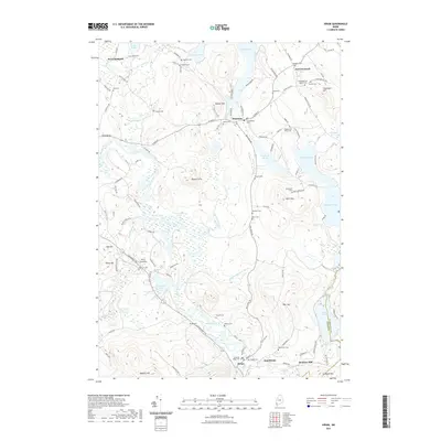 2021 Hiram2021 Print · USGSSettled along the riverbanks and upland ponds of Western Maine, this area reveals a dense network of family-owned lands and rural communities. Genealogists can trace family lines through the Fessenden and Ingalls Cem, Rankins Mill, and Dyer's Landing.
 - 2021 Map of Brownfield, 2021 Print
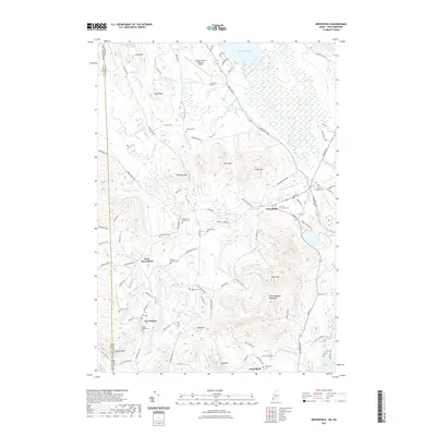 2021 Brownfield2021 Print · USGSOxford County, Maine, is shown here as it appears today, defined by the Saco River valley and the surrounding peaks. Genealogists can trace a wealth of family history through numerous burial sites like Merrill Cem, Cole Cem, and the Brown - Johnson Cem.
 - 2021 Map of Cornish, 2021 Print
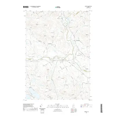 2021 Cornish2021 Print · USGSThe Saco and Ossipee rivers converge at Cornish in this contemporary study of the Maine landscape. Genealogists and historians can locate dozens of burial sites like Riverside Cem and Durgin Cem while tracing the winding Pequawket Trl.
 - 2021 Map of Twin Peaks, 2021 Print
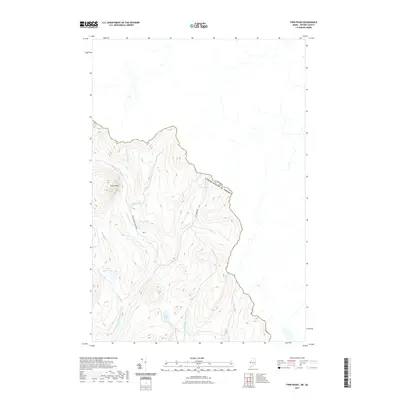 2021 Twin Peaks2021 Print · USGSThe northern Maine frontier and the Canadian border meet in this 2021 topographic study of high-elevation headwaters. Genealogists and historians can trace the remote terrain around Twin Peaks, including isolated landmarks like Abbie Pond and the First E Br Magalloway River.
 - 2021 Map of Northwest Pond, 2021 Print
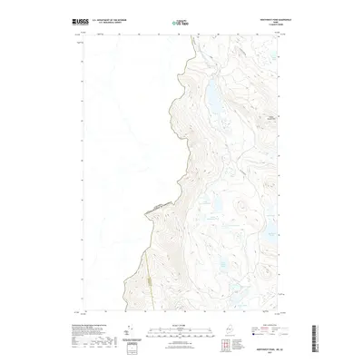 2021 Northwest Pond2021 Print · USGSThe international border meets the Maine woods in this contemporary survey of the high backcountry. Follow the remote terrain from Indian Stream Mtn down to the scattered waters of Big Island Pond and South Boundary Pond.
 - 2021 Map of Lincoln Pond, 2021 Print
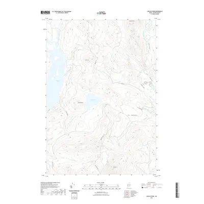 2021 Lincoln Pond2021 Print · USGSLincoln Plantation and the Oxford County highlands appear here in the early twenty-first century, showing a landscape defined by timber management and water. Trace the logging history along Cupsuptic Tote Rd or find Big Falls and Big Buck Mtn.
 - 2021 Map of Wilsons Mills, 2021 Print
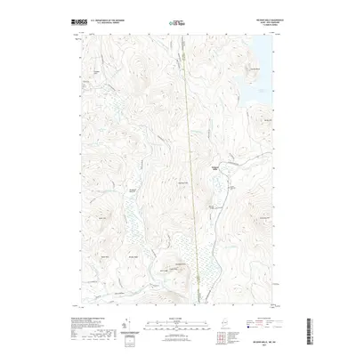 2021 Wilsons Mills2021 Print · USGSThe remote borderlands of Maine and New Hampshire come into focus here, showing the river-and-road network of the North Woods. Genealogists and hikers can locate Lincoln Plantation Cem and trace paths to landmarks like Bennett Bridge and Sams Lookout.
 - 2021 Map of Metallak Mountain, 2021 Print
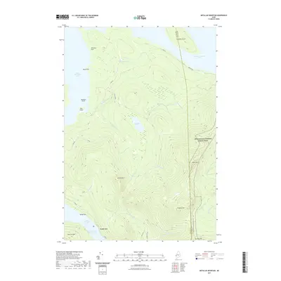 2021 Metallak Mountain2021 Print · USGSMaine's western lakes and mountains are captured here in the early twenty-first century as the Appalachian National Scenic Trail crosses high ridgelines. Hikers and historians can trace the path from Elephant Mtn toward the settlement at South Arm on Lower Richardson Lake.
 - 2021 Map of Worthley Pond, 2021 Print
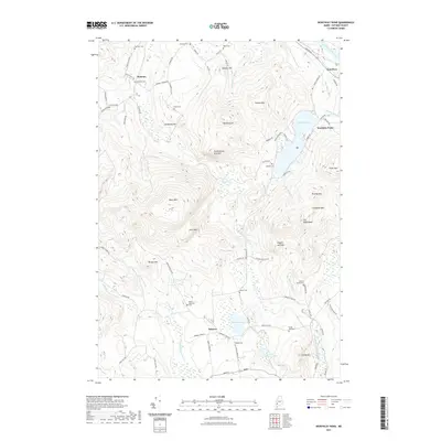 2021 Worthley Pond2021 Print · USGSOxford County mountain terrain and rural settlements are documented here in the early twenty-first century. Genealogists can trace family heritage through numerous scattered sites like Glover Young Cem, Dickvale Cem, and the old village at Sumner.
 - 2021 Map of Ellis Pond, 2021 Print
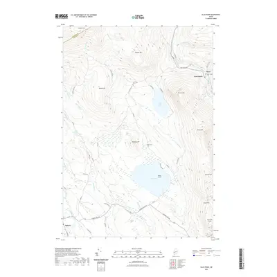 2021 Ellis Pond2021 Print · USGSThe high timberlands and river valleys of Oxford County come into focus in this recent survey. Local historians can trace family roots at the Byron Village Cem or Stockbridge Cem, while exploring landmarks like Coos Canyon and the falls at Ellis Falls.
 - 2021 Map of Moose Bog, 2021 Print
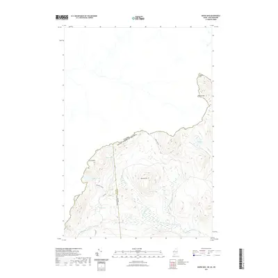 2021 Moose Bog2021 Print · USGSThe international borderlands of New Hampshire and Maine are charted here in the modern era, showing the remote peaks and drainages of Coos and Oxford counties. Trace the paths of US Canada Border Rd and the waters of Moose Bog Brook or Boundary Pond.
 - 2021 Map of Lake Auburn West, 2021 Print
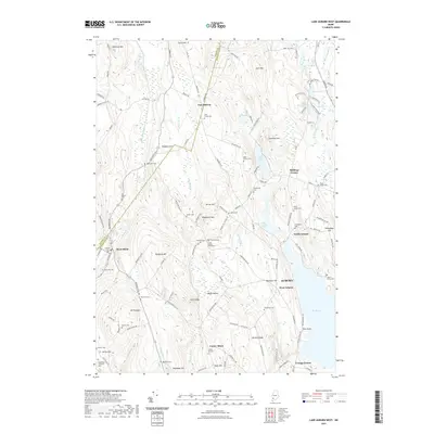 2021 Lake Auburn West2021 Print · USGSAuburn and Minot appear in this recent survey of the hills and valleys west of Lake Auburn. Genealogists and local historians can trace family roots at the Scott Family Graveyard or explore the rural surroundings of West Minot and North Auburn.
 - 2021 Map of Dixfield, 2021 Print
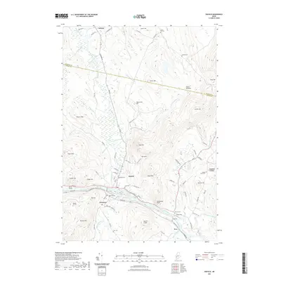 2021 Dixfield2021 Print · USGSOxford County communities along the Androscoggin River are documented here in the early twenty-first century as they appear between the river valley and the northern ridges. Genealogists can locate several historic burial grounds, including Greenwood Cem, Demerritt Cem, and the Piper Cem near Spears Stream.
 - 2021 Map of Bryant Pond, 2021 Print
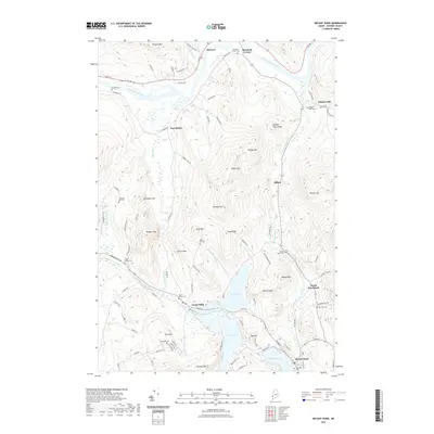 2021 Bryant Pond2021 Print · USGSOxford County mountain and lake country is captured in the early twenty-first century, showing the enduring geography of the Androscoggin valley. Genealogists can locate family sites at Mount Abram Cem or Abbotts Mills Cem and trace the historic mill village of Locke Mills.
 - 2021 Map of Houghton, 2021 Print
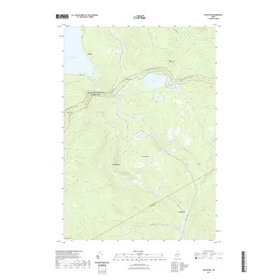 2021 Houghton2021 Print · USGSThe Rangeley highlands and the upper Swift River valley come into focus during this 2020s study. Hikers and historians can trace the Appalachian National Scenic Trail past Bemis Mtn or locate the site of Angel Falls near Houghton.
 - 2021 Map of Oxford, 2021 Print
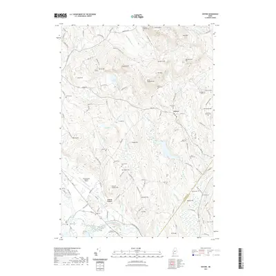 2021 Oxford2021 Print · USGSOxford County at the start of the 2020s shows a landscape where industrial rail lines and modern aviation meet traditional New England hill country. Researchers can locate numerous family burial sites like Shepardsfield Cem and Farris Whitman Cem or trace the St Lawrence & Atlantic RR through the river valley.
 - 2021 Map of Waterford Flat, 2021 Print
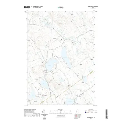 2021 Waterford Flat2021 Print · USGSThe western Maine highlands are shown here in modern detail, focusing on the clustered settlements of Waterford and the lakes that define them. Researchers can locate family burial sites such as the Nelson Family Plot, Finnish Cem, and Barnard Cem among the hills.
 - 2021 Map of Wilton, 2021 Print
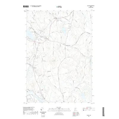 2021 Wilton2021 Print · USGSThe industrial villages and upland farms of western Maine are captured here during the early twenty-first century. Genealogists can locate family burial sites at Lakeview or North Jay Cem, while tracing the waterways of Wilson Stream and the Androscoggin River.
 - 2021 Map of Puzzle Mountain, 2021 Print
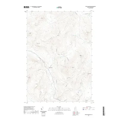 2021 Puzzle Mountain2021 Print · USGSOxford County peaks dominate this modern survey of the Newry area, where the Bear River valley creates a corridor through the mountains. Genealogists and hikers can locate Powers Cem or trace the steep ascent to Puzzle Mtn and Lightning Ledge.
 - 2021 Map of Mount Zircon, 2021 Print
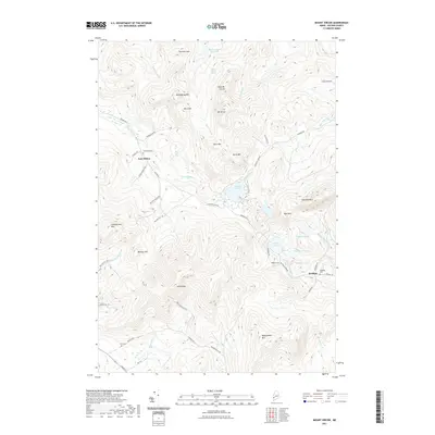 2021 Mount Zircon2021 Print · USGSOxford County's mountain landscape is captured here in the early twenty-first century, showing the enduring boundaries of local settlements and watersheds. Researchers can locate family landmarks like Greenleaf Cem, East Milton, and the remote banks of Concord Pond.
Showing maps 1-25 of 126
Top cities of Oxford County
- Paris historical maps
- Norway historical maps
- Rumford historical maps
- Oxford historical maps
- Fryeburg historical maps
- Mexico historical maps
See more
Frequently asked questions
- What are the different types of historical maps available for Oxford County?
- What is the oldest map of Oxford County?
- Where can I purchase historical maps of Oxford County for my home or office?
- Where can I download high-res historical maps of Oxford County?
- Are there historical topographic maps available for Oxford County?
- Is there historical aerial imagery available for Oxford County?
- Where are historical maps of Oxford County sourced from?