2000s (21st Century) Maps of T4 R9 WELS, Maine
Explore 20 historic maps of T4 R9 WELS from the 2000s (21st Century). These maps offer a rare glimpse into what life looked like during the 2000s — showing old roads, neighborhoods, homes, and landmarks that have changed or disappeared over time.
Whether you're researching your family's past, planning a metal detecting trip, or studying how T4 R9 WELS's landscape evolved across the 2000s, these high-resolution maps are a powerful tool for exploring the history of this region.
- Focus on a specific era: All maps on this page are from the 2000s, giving you a focused view of this time period.
- See what’s changed: Compare century-old streets, trails, and buildings to today's modern landscape using overlays and satellite layers.
- Research with precision: Use these maps for genealogy, historical research, land use analysis, or educational projects.
- View, download, or print: Maps are fully viewable online in high resolution, and can be downloaded or printed for your own records.
Start exploring T4 R9 WELS's history through authentic maps from the 2000s. This is your window into the past.
T4 R9 WELS, ME maps
(20)- 2011 Map of Mount Katahdin, 2011 Print
 2011 Mount Katahdin2011 Print · USGSCovers T4 R9 WELS, including T3 R10 WELS, Mount Katahdin Township, and other nearby areas
 - 2011 Map of Katahdin Lake, 2011 Print
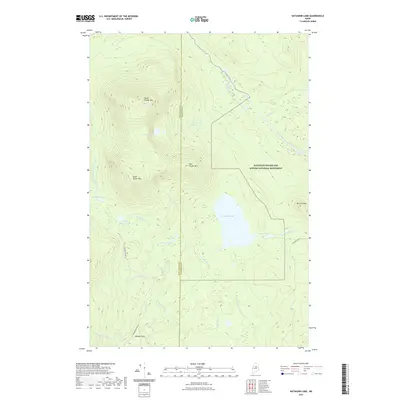
 2011 Katahdin Lake2011 Print · USGSCovers T4 R9 WELS, including T4 R8 WELS, T3 R8 WELS, and other nearby areas
 - 2011 Map of The Traveler, 2011 Print
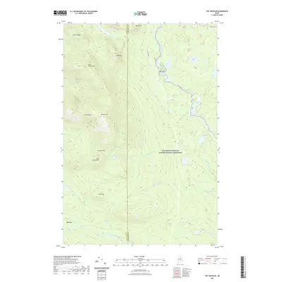
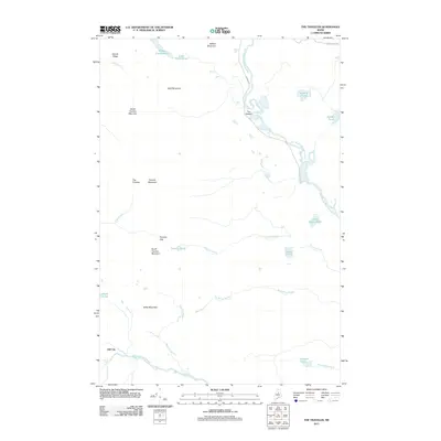 2011 The Traveler2011 Print · USGSCovers T4 R9 WELS, including T5 R8 WELS, T5 R9 WELS, and other nearby areas
 - 2011 Map of Wassataquoik Lake, 2011 Print
 2011 Wassataquoik Lake2011 Print · USGSCovers T4 R9 WELS, including T5 R9 WELS, Nesourdnahunk Township, and other nearby areas
 - 2014 Map of The Traveler, 2014 Print
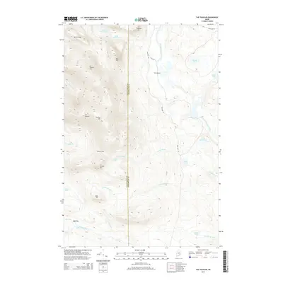 2014 The Traveler2014 Print · USGSCovers T4 R9 WELS, including T5 R8 WELS, T5 R9 WELS, and other nearby areas
 - 2014 Map of Wassataquoik Lake, 2014 Print
 2014 Wassataquoik Lake2014 Print · USGSCovers T4 R9 WELS, including T5 R9 WELS, Nesourdnahunk Township, and other nearby areas
 - 2014 Map of Katahdin Lake, 2014 Print
 2014 Katahdin Lake2014 Print · USGSCovers T4 R9 WELS, including T4 R8 WELS, T3 R8 WELS, and other nearby areas
 - 2014 Map of Mount Katahdin, 2014 Print
 2014 Mount Katahdin2014 Print · USGSCovers T4 R9 WELS, including T3 R10 WELS, Mount Katahdin Township, and other nearby areas
 - 2018 Map of Katahdin Lake, 2018 Print
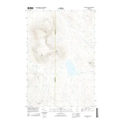
 2018 Katahdin Lake2018 Print · USGSCovers T4 R9 WELS, including T4 R8 WELS, T3 R8 WELS, and other nearby areas
 - 2018 Map of Mount Katahdin, 2018 Print
 2018 Mount Katahdin2018 Print · USGSCovers T4 R9 WELS, including T3 R10 WELS, Mount Katahdin Township, and other nearby areas
 - 2018 Map of Wassataquoik Lake, 2018 Print
 2018 Wassataquoik Lake2018 Print · USGSCovers T4 R9 WELS, including T5 R9 WELS, Nesourdnahunk Township, and other nearby areas
 - 2018 Map of The Traveler, 2018 Print
 2018 The Traveler2018 Print · USGSCovers T4 R9 WELS, including T5 R8 WELS, T5 R9 WELS, and other nearby areas
 - 2021 Map of Katahdin Lake, 2021 Print
 2021 Katahdin Lake2021 Print · USGSCovers T4 R9 WELS, including T4 R8 WELS, T3 R8 WELS, and other nearby areas
 - 2021 Map of Wassataquoik Lake, 2021 Print
 2021 Wassataquoik Lake2021 Print · USGSCovers T4 R9 WELS, including T5 R9 WELS, Nesourdnahunk Township, and other nearby areas
 - 2021 Map of The Traveler, 2021 Print
 2021 The Traveler2021 Print · USGSCovers T4 R9 WELS, including T5 R8 WELS, T5 R9 WELS, and other nearby areas
 - 2021 Map of Mount Katahdin, 2021 Print
 2021 Mount Katahdin2021 Print · USGSCovers T4 R9 WELS, including T3 R10 WELS, Mount Katahdin Township, and other nearby areas
 - 2024 Map of Katahdin Lake, 2024 Print
 2024 Katahdin Lake2024 Print · USGSThe Maine wilderness east of Baxter State Park is documented here in the early 2020s, highlighting the protected acreage of the Katahdin Woods and Waters National Monument. Trace the path of the International Appalachian Trl past Katahdin Lake and the high peaks of North Turner Mtn.
 - 2024 Map of Mount Katahdin, 2024 Print
 2024 Mount Katahdin2024 Print · USGSThe Maine wilderness near the northern end of the Appalachian Trail is shown here in the 2020s. Hikers and historians can trace the route past Baxter Peak and Chimney Pond, or locate landmarks like New City and The Klondike.
 - 2024 Map of The Traveler, 2024 Print
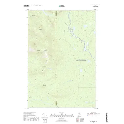
 2024 The Traveler2024 Print · USGSMaine's northern wilderness is captured here in the contemporary era, centered on the towering peaks of the Traveler Range. Genealogists and historians can locate Old City near the Wassataquoik Stream or trace river landings like Haskell Rock Pitch and The Oxbow.
 - 2024 Map of Wassataquoik Lake, 2024 Print
 2024 Wassataquoik Lake2024 Print · USGSThe Maine wilderness of Piscataquis County is captured here in contemporary detail, showing the vast forests and peaks of the northern interior. Trace the rugged terrain around Wassataquoik Lake, the Black Brook Mountains, and the Pogy Notch pass.
End of results
Showing maps 1-20 of 20
Frequently asked questions
- What are the different types of historical maps available for T4 R9 WELS?
- What is the oldest map of T4 R9 WELS?
- Where can I purchase historical maps of T4 R9 WELS for my home or office?
- Where can I download high-res historical maps of T4 R9 WELS?
- Are there historical topographic maps available for T4 R9 WELS?
- Is there historical aerial imagery available for T4 R9 WELS?
- Where are historical maps of T4 R9 WELS sourced from?