2020s Maps of Waldo County, Maine
Explore 58 historic maps of Waldo County from the 2020s. These maps offer a rare glimpse into what life looked like during the 2020s — showing old roads, neighborhoods, homes, and landmarks that have changed or disappeared over time.
Whether you're researching your family's past, planning a metal detecting trip, or studying how Waldo County's landscape evolved across the 2020s, these high-resolution maps are a powerful tool for exploring the history of this region.
- Focus on a specific era: All maps on this page are from the 2020s, giving you a focused view of this time period.
- See what’s changed: Compare century-old streets, trails, and buildings to today's modern landscape using overlays and satellite layers.
- Research with precision: Use these maps for genealogy, historical research, land use analysis, or educational projects.
- View, download, or print: Maps are fully viewable online in high resolution, and can be downloaded or printed for your own records.
Start exploring Waldo County's history through authentic maps from the 2020s. This is your window into the past.
Waldo County, ME maps
(58)- 2021 Map of North Haven West, 2021 Print
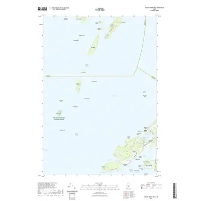 2021 North Haven West2021 Print · USGSPenobscot Bay and its storied islands are shown in fine detail during the early 2020s, highlighting the coastal life of North Haven. Trace local heritage through landmarks like Ames Knob, the historic Leadbetter Cem, and the busy waters of Pulpit Harbor.
 - 2021 Map of Mount Waldo, 2021 Print
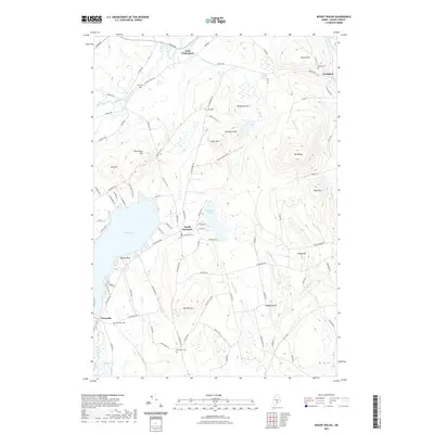 2021 Mount Waldo2021 Print · USGSMid-coast Maine’s interior hills and waters are documented here in the early twenty-first century. Genealogists and local historians can locate family burial sites at Wiswell Cem or Evergreen Cem and trace the shorelines of Swan Lake and Halfmoon Pond.
 - 2021 Map of Cape Rosier, 2021 Print
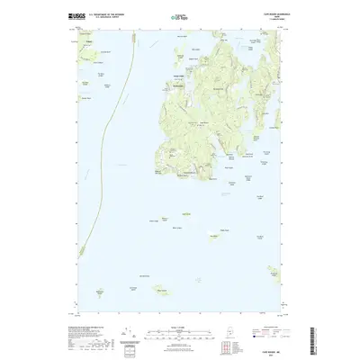 2021 Cape Rosier2021 Print · USGSCoastal Maine's rugged peninsulas and island reaches are captured here in the contemporary era. Genealogists can trace deep-rooted family histories through numerous small burial sites like the Valerius Black Cem, Old Bakeman Cem, and Jesse Gray Cem.
 - 2021 Map of Snow Mountain, 2021 Print
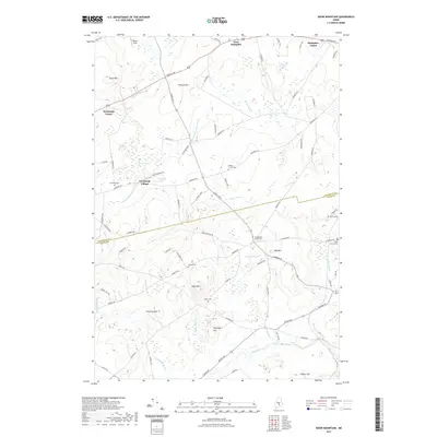 2021 Snow Mountain2021 Print · USGSPenobscot and Waldo counties meet in this modern survey of the Newburgh and Hampden highlands during the early twenty-first century. Genealogists can locate family burial grounds like Neallys Corner Cem and Clark Cem along the E Br Souadabscook Stream.
 - 2021 Map of Hampden, 2021 Print
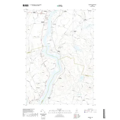 2021 Hampden2021 Print · USGSRiverside life along the Penobscot south of Bangor is captured here in the early twenty-first century. Genealogists and local historians can trace family plots across numerous grounds like Dean Hill Cem or locate the quiet corners of Coles Corner and Millvale.
 - 2021 Map of Searsport, 2021 Print
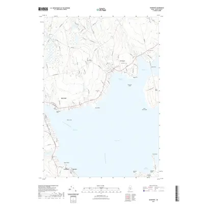 2021 Searsport2021 Print · USGSSearsport and the surrounding Waldo County coastline are shown in high detail during the early twenty-first century. Genealogists and local historians can locate several family burial sites including Smart Cem and Gordon Cem, or trace the shoreline from Mack Point to Sears Island.
 - 2021 Map of Bucksport, 2021 Print
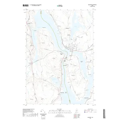 2021 Bucksport2021 Print · USGSThe Penobscot River corridor is captured here in the early twenty-first century, showing the enduring maritime character of Bucksport and Verona. Researchers can trace generations of residents through numerous burial sites like Silver Lake Cem, Oak Hill Cem, and Sandy Point Cem.
 - 2021 Map of Islesboro, 2021 Print
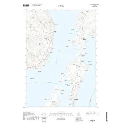 2021 Islesboro2021 Print · USGSPenobscot Bay and the long corridor of Islesboro Island are shown here in the early twenty-first century as they maintain their maritime character. Researchers can trace land tracts near Dark Harbor, locate Saturday Cove Cem, or follow the Margaret Chase Smith Ferry route.
 - 2021 Map of Palermo, 2021 Print
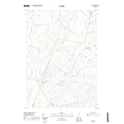 2021 Palermo2021 Print · USGSMaine's mid-coast interior comes into focus during this modern era, showing the rural crossroads of Palermo and North Palermo. Genealogists can trace family heritage at Old Greeley Corner Cem, Dennis Hill Cem, and the Branch Mills Cem along the W Br Sheepscot River.
 - 2021 Map of Liberty, 2021 Print
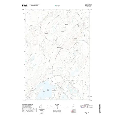 2021 Liberty2021 Print · USGSWaldo County's interior hills and waters are captured here in the early twenty-first century, centered on the village of Liberty. Local historians can trace numerous family-named landmarks and burial sites like Whitten Cem or the rural crossroads at McFarlands Corner.
 - 2021 Map of Albion, 2021 Print
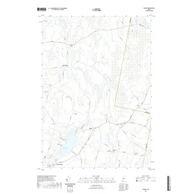 2021 Albion2021 Print · USGSThe rural heart of Kennebec County comes into focus here during the early twenty-first century, showing a landscape defined by ridges and valley streams. Researchers can locate many family burial sites including Maple Grove Cem and trace crossings at Puddledock Bridge.
 - 2021 Map of Dixmont, 2021 Print
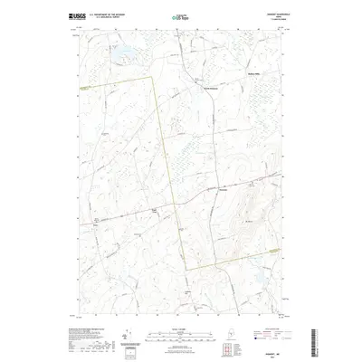 2021 Dixmont2021 Print · USGSThe rural landscape of central Maine is captured here just after the second decade of the new millennium. Genealogists and local historians can trace family roots through several small burial grounds like North Dixmont Cem and Mount Holly Cem.
 - 2021 Map of Razorville, 2021 Print
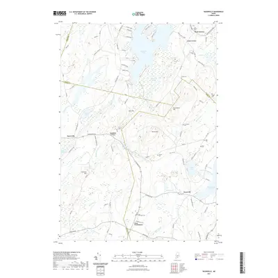 2021 Razorville2021 Print · USGSIn the rural interior of Maine, this recent survey captures a landscape of interconnected ponds and hills where four counties meet. Family historians can locate numerous burial sites and small settlements, such as Hannan Cem, Razorville, and West Washington.
 - 2021 Map of Unity Pond, 2021 Print
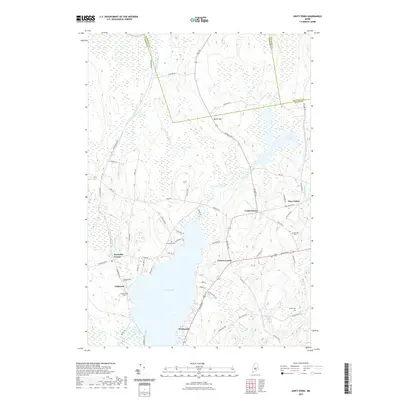 2021 Unity Pond2021 Print · USGSUnity Pond and its surrounding wetlands form the heart of this Maine landscape where three counties meet. Genealogists and historians can trace local family roots through sites like Fairview Cem, Webb Cem, and the village at Troy Center.
 - 2021 Map of Belfast, 2021 Print
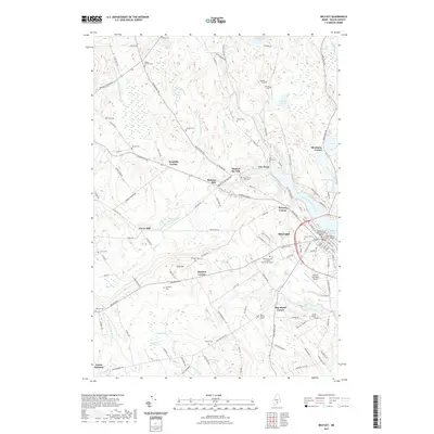 2021 Belfast2021 Print · USGSBelfast and its neighboring Waldo County crossroads are documented here in the early twenty-first century as the city meets the Belfast Bay coast. Researchers can trace local lineage through numerous sites like Grove Cem or explore historic centers such as City Point and Poors Mill.
 - 2021 Map of Morrill, 2021 Print
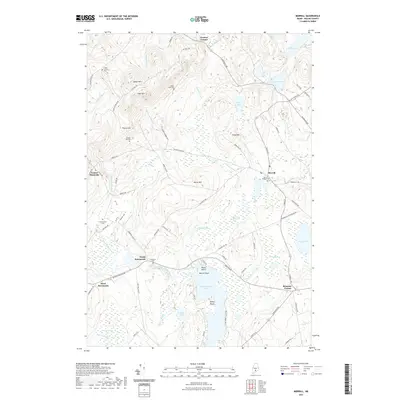 2021 Morrill2021 Print · USGSWaldo County's interior hills and wetlands are documented here in recent detail, showing the rural character of Maine's mid-coast highlands. Genealogists can locate family sites near Hillcrest Cem and Sunny Side Cem or trace the early paths of Robinson Schoolhouse Rd.
 - 2021 Map of Searsmont, 2021 Print
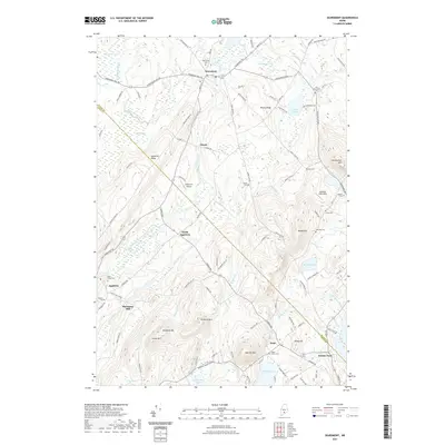 2021 Searsmont2021 Print · USGSThe mid-coast Maine highlands and the Saint George River valley are meticulously detailed in this recent survey. Local historians can trace family roots through numerous sites like Oak Grove Cem, Shermans Mill, and the small community of Ghent.
 - 2021 Map of East Dixmont, 2021 Print
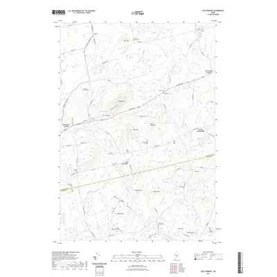 2021 East Dixmont2021 Print · USGSThe upland terrain of interior Maine at the start of the 2020s shows a dense network of historic burial grounds and crossroads settlements. Genealogists can trace family names at Harmony Place Cem or Toothaker Cem, and locate landmarks like Peaked Mtn and Wellmans Pond.
 - 2021 Map of Washington, 2021 Print
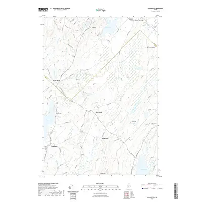 2021 Washington2021 Print · USGSMid-coast Maine’s interior hills and river valleys come into focus in this recent survey of the Knox and Waldo county border. Researchers can locate numerous family burial grounds like Weymouth Cem and Pierpont Cem alongside old mill sites and villages like Woodman Mills and South Liberty.
 - 2021 Map of Castine, 2021 Print
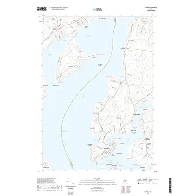 2021 Castine2021 Print · USGSPenobscot Bay and the Bagaduce River meet in this contemporary coastal survey of one of Maine's most storied maritime districts. Researchers can trace the layout of Castine, locate the historic Fort George, or find family names at Blodgett Family Cem and Mount Recluse Cem.
 - 2021 Map of Burnham, 2021 Print
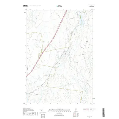 2021 Burnham2021 Print · USGSMaine's interior riverlands are shown here at the meeting point of three counties in the early twenty-first century. Genealogists can locate family burial grounds like Huff Cem and Mount Cem or trace the winding course of the Sebasticook River.
 - 2021 Map of Brooks West, 2021 Print
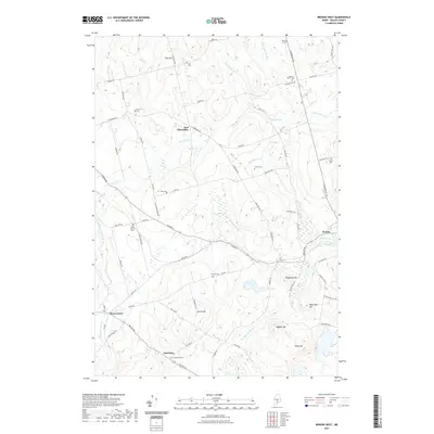 2021 Brooks West2021 Print · USGSWaldo County at the start of the 2020s remains a landscape of quiet rural crossroads and family lineages. Genealogists can trace local heritage through a remarkable number of small burial grounds, including Knox Station Cem, Wing Cem, and Jackson Corner Cem.
 - 2021 Map of Unity, 2021 Print
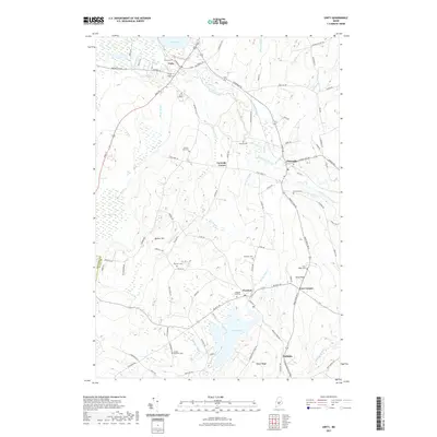 2021 Unity2021 Print · USGSWaldo County at the start of the 2020s is characterized by a mix of educational institutions and rural hamlets. Genealogists can locate numerous burial sites such as Boulter Cem and Saywood Cem while tracing the geography of Unity and Thorndike.
 - 2021 Map of Newport, 2021 Print
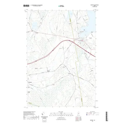 2021 Newport2021 Print · USGSThe rural landscapes of Somerset and Penobscot counties come alive in this contemporary survey of central Maine's river valleys. Genealogists can trace family plots at Palmyra Village Cem or Riverside Cem while exploring the banks of Sebasticook Lake.
 - 2021 Map of Brooks East, 2021 Print
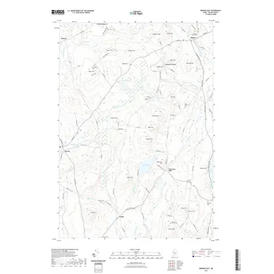 2021 Brooks East2021 Print · USGSWaldo County's rural townships are documented in the early twenty-first century, showing the enduring settlement patterns around Monroe and Brooks. Researchers can locate numerous family burial grounds like Pattees Corner Cem and historic sites such as Nickerson Mills.
Showing maps 1-25 of 58
Top cities of Waldo County
- Belfast historical maps
- Winterport historical maps
- Searsport historical maps
- Lincolnville historical maps
- Unity historical maps
- Palermo historical maps
See more
Frequently asked questions
- What are the different types of historical maps available for Waldo County?
- What is the oldest map of Waldo County?
- Where can I purchase historical maps of Waldo County for my home or office?
- Where can I download high-res historical maps of Waldo County?
- Are there historical topographic maps available for Waldo County?
- Is there historical aerial imagery available for Waldo County?
- Where are historical maps of Waldo County sourced from?