2010s Maps of Frederick County, Maryland
Explore 84 historic maps of Frederick County from the 2010s. These maps offer a rare glimpse into what life looked like during the 2010s — showing old roads, neighborhoods, homes, and landmarks that have changed or disappeared over time.
Whether you're researching your family's past, planning a metal detecting trip, or studying how Frederick County's landscape evolved across the 2010s, these high-resolution maps are a powerful tool for exploring the history of this region.
- Focus on a specific era: All maps on this page are from the 2010s, giving you a focused view of this time period.
- See what’s changed: Compare century-old streets, trails, and buildings to today's modern landscape using overlays and satellite layers.
- Research with precision: Use these maps for genealogy, historical research, land use analysis, or educational projects.
- View, download, or print: Maps are fully viewable online in high resolution, and can be downloaded or printed for your own records.
Start exploring Frederick County's history through authentic maps from the 2010s. This is your window into the past.
Frederick County, MD maps
(84)- 2011 Map of Walkersville, 2011 Print
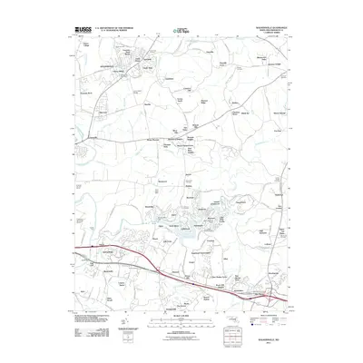 2011 Walkersville2011 Print · USGSMaryland's Monocacy River valley comes into focus during the early twenty-first century, showing the evolving landscape of Frederick County. Researchers can trace family history at the Trinity Cemetery or locate landmarks like Fountain Rock Manor and the Walkersville Post Office.
 - 2011 Map of Point of Rocks, 2011 Print
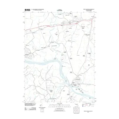 2011 Point of Rocks2011 Print · USGSMaryland's riverfront heritage is on full display here as the Potomac corridor passes through Frederick County in the early twenty-first century. Researchers can trace ancestral sites like Saint Pauls Cemetery or explore landmarks of the old river economy such as the Catoctin Creek Aqueduct and Lewis Mill.
 - 2011 Map of Frederick, 2011 Print
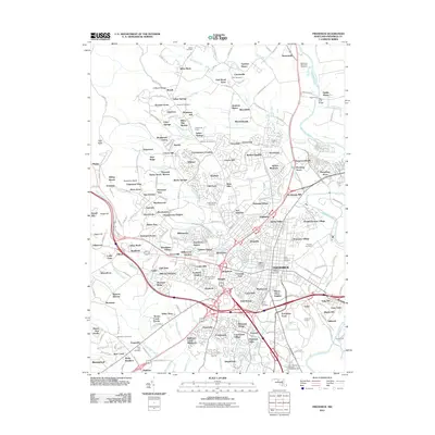 2011 Frederick2011 Print · USGSModern Maryland development meets deep-rooted history in this early 21st-century survey of the Monocacy River valley. Genealogists and researchers can trace historic river crossings at Biggs Ford and Crums Ford or locate family plots at Mount Olivet Cemetery and Fairview Cemetery.
 - 2011 Map of Damascus, 2011 Print
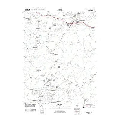 2011 Damascus2011 Print · USGSThe northern Piedmont region of Maryland comes alive in the early twenty-first century, showing the growth of Damascus and its surrounding communities. Genealogists can locate several local burial grounds like Marvin Chapel Cemetery and Bethesda Cemetery alongside long-standing agricultural landmarks like Rock Hill Orchard.
 - 2011 Map of Buckeystown, 2011 Print
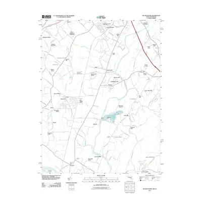 2011 Buckeystown2011 Print · USGSMaryland's Monocacy River valley remains a blend of historic hamlets and modern growth in the early twenty-first century. Genealogists can trace family roots through several burial sites including Flint Hill Cemetery and Hope Hill Cemetery.
 - 2011 Map of Keedysville, 2011 Print
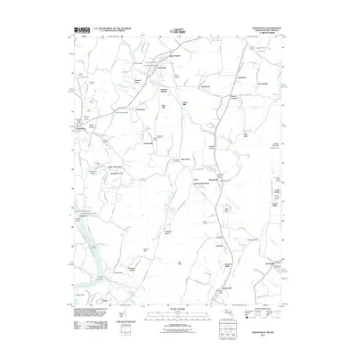 2011 Keedysville2011 Print · USGSMaryland's Civil War landscape and rural crossroads are preserved here as they appeared in the early 21st century. Historians can trace the terrain of the Antietam National Cemetery and The Cornfield, or locate family landmarks like Mumma Cemetery and Eakles Mills.
 - 2011 Map of Middletown, 2011 Print
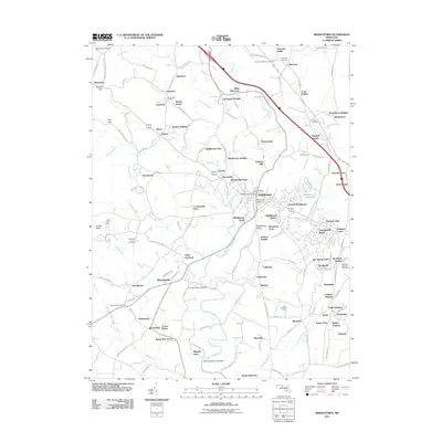 2011 Middletown2011 Print · USGSMiddletown and the surrounding Frederick County valley are captured here in the early twenty-first century as suburban growth meets long-standing farmsteads. Researchers can locate numerous family burial sites like Johnson Cemetery and Mount Tabor Cemetery or trace the waters of Catoctin Creek.
 - 2011 Map of Urbana, 2011 Print
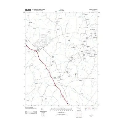 2011 Urbana2011 Print · USGSUrbana and southern Frederick County are shown here during a period of residential growth amidst long-standing rural crossroads. Genealogists and local historians can trace family roots through numerous sites like Zion Cemetery, Hyattstown, and the Sugar Loaf Mountain Chapel.
 - 2011 Map of New Windsor, 2011 Print
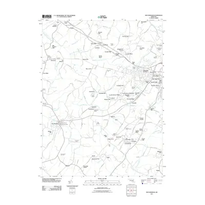 2011 New Windsor2011 Print · USGSMaryland's rolling Piedmont country near the turn of the twenty-first century reveals a landscape shaped by early industry and faith. Researchers can locate historic mill sites like Wakefield Mill and Roop Mill, or explore local ancestry through the Strawbridge Shrine and New Windsor Cemetery.
 - 2011 Map of Libertytown, 2011 Print
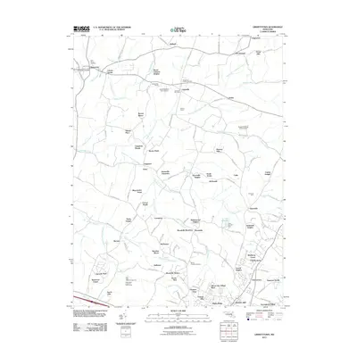 2011 Libertytown2011 Print · USGSMaryland's agricultural heartland is documented here in the early twenty-first century as small towns and farmsteads adapt to modern growth. Researchers can trace family history through landmarks like Saint Peters Cemetery, the old Unionville Post Office, and named tracts such as Calebs Delight.
 - 2011 Map of Winfield, 2011 Print
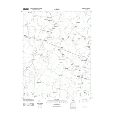 2011 Winfield2011 Print · USGSCarroll County’s rural character and evolving residential landscape are documented in this early twenty-first-century survey. Genealogists can locate numerous burial sites, including Taylorsville Cemetery, Salem Cemetery, and Sams Creek Cemetery.
 - 2011 Map of Woodsboro, 2011 Print
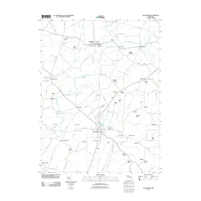 2011 Woodsboro2011 Print · USGSMaryland's Monocacy River valley comes into focus during this early 21st-century survey of rural Frederick County. Researchers can trace the legacy of local families through landmarks like the Loys Station Covered Bridge, Le Gore Quarry, and Saint Johns Cemetery.
 - 2011 Map of Poolesville, 2011 Print
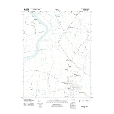 2011 Poolesville2011 Print · USGSUpper Montgomery County thrives as a rural corridor in 2011, where the Potomac and Monocacy Rivers meet. Genealogists and local historians can trace legacy land tracts and crossroads from Elizabeths Delight to the Monocacy Aqueduct and the Monocacy Cemetery.
 - 2011 Map of Harpers Ferry, 2011 Print
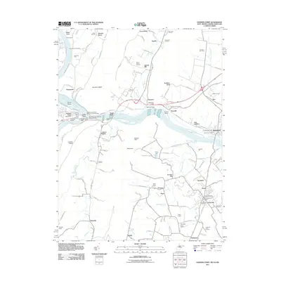 2011 Harpers Ferry2011 Print · USGSHarpers Ferry and the surrounding river gaps are shown here in the early 21st century at the meeting of three states. Local historians can trace the Chesapeake and Ohio Canal, industrial sites like Garretts Mill, and numerous burial sites including the Old Lovettsville Cemetery.
 - 2011 Map of Catoctin Furnace, 2011 Print
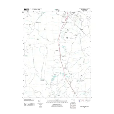 2011 Catoctin Furnace2011 Print · USGSMaryland's mountain foothills and historical industrial sites are documented here at the start of the twenty-first century. Researchers can trace local heritage through landmarks like the Catoctin Furnace, the Utica Covered Bridge, and the Lewistown State Fish Hatchery.
 - 2011 Map of Smithsburg, 2011 Print
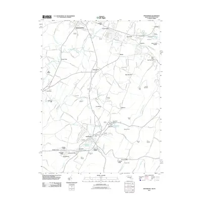 2011 Smithsburg2011 Print · USGSWaynesboro and Smithsburg sat at the center of a thriving orchard and milling district at the start of the twenty-first century. Genealogists and historians can locate old family plots at Green Hill Cemetery or trace landmarks like Bowmans Mill and Smithsburg Post Office.
 - 2011 Map of Myersville, 2011 Print
 2011 Myersville2011 Print · USGSMaryland's Middletown Valley comes into sharp focus during the early twenty-first century, showing a landscape of small farms and mountain ridges. Genealogists and hikers can trace landmarks like Annapolis Rock, Wolfsville Reformed Cemetery, and Thunderhill Farms.
 - 2011 Map of Taneytown, 2011 Print
 2011 Taneytown2011 Print · USGSThe Maryland-Pennsylvania borderlands come into focus in this early twenty-first century study of the area surrounding Taneytown. Genealogists and local historians can trace family locations through named sites like Mairs Mill, Starners Dam, and Mount Pleasant Cemetery.
 - 2011 Map of Emmitsburg, 2011 Print
 2011 Emmitsburg2011 Print · USGSCrossing the Maryland and Pennsylvania border in the early 21st century, this survey shows the rural and academic character of Frederick County. Researchers can locate family landmarks like Elder Cemetery, the grounds of Mount Saint Mary's University, and settlements like Appolds and Zora.
 - 2011 Map of Union Bridge, 2011 Print
 2011 Union Bridge2011 Print · USGSMaryland's agricultural heartland is documented here in the early twenty-first century, centered on the historic hub of Union Bridge. Genealogists and historians can trace family roots through numerous sites like Middleburg Cemetery, Otterdale Mill, and Crouse Mill.
 - 2011 Map of Blue Ridge Summit, 2011 Print
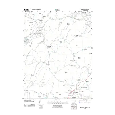 2011 Blue Ridge Summit2011 Print · USGSMaryland's mountainous border with Pennsylvania is shown here in the early twenty-first century, featuring the high-elevation settlements and orchards of the Blue Ridge. Genealogists can locate family burial sites at Apples Cemetery or Browns Cemetery and trace the rail line through Jacks Mountain Tunnel.
 - 2013 Map of Blue Ridge Summit, 2013 Print
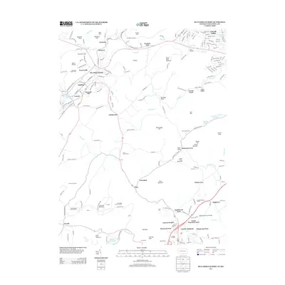 2013 Blue Ridge Summit2013 Print · USGSThe Maryland-Pennsylvania border country comes to life in this survey of the Catoctin range during the early twenty-first century. Researchers can trace the layout of mountain communities like Charmian and Sabillasville or locate landmarks such as Cunningham Falls and Jacks Mountain Tunnel.
 - 2014 Map of Harpers Ferry, 2014 Print
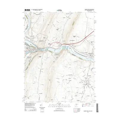 2014 Harpers Ferry2014 Print · USGSHarpers Ferry and its three-state borderlands are shown here in the early twenty-first century, before recent growth reshaped the Loudoun Valley. Genealogists can trace family names through sites like Garretts Mill, the African Methodist Episcopal Cem, and the old rail town of Brunswick.
 - 2014 Map of Smithsburg, 2014 Print
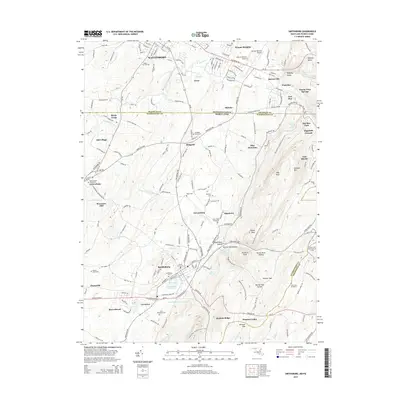 2014 Smithsburg2014 Print · USGSThe Pennsylvania-Maryland border country comes into focus in this study of the area between Waynesboro and Smithsburg. Genealogists and hikers can trace family plots at Saint James Graveyard or follow the Appalachian National Scenic Trail through Warner Gap.
 - 2014 Map of Catoctin Furnace, 2014 Print
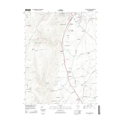 2014 Catoctin Furnace2014 Print · USGSThurmont and the eastern slopes of the Catoctin Mountains are captured here in the early twenty-first century. Genealogists and local historians can trace family sites at Graceham Cem or explore the heritage of Catoctin Furnace and the Utica Covered Bridge.
Showing maps 1-25 of 84
Top cities of Frederick County
- Frederick historical maps
- Ballenger Creek historical maps
- Urbana historical maps
- Linganore historical maps
- Brunswick historical maps
- Thurmont historical maps
See more
Frequently asked questions
- What are the different types of historical maps available for Frederick County?
- What is the oldest map of Frederick County?
- Where can I purchase historical maps of Frederick County for my home or office?
- Where can I download high-res historical maps of Frederick County?
- Are there historical topographic maps available for Frederick County?
- Is there historical aerial imagery available for Frederick County?
- Where are historical maps of Frederick County sourced from?