2020s Maps of Frederick County, Maryland
Explore 21 historic maps of Frederick County from the 2020s. These maps offer a rare glimpse into what life looked like during the 2020s — showing old roads, neighborhoods, homes, and landmarks that have changed or disappeared over time.
Whether you're researching your family's past, planning a metal detecting trip, or studying how Frederick County's landscape evolved across the 2020s, these high-resolution maps are a powerful tool for exploring the history of this region.
- Focus on a specific era: All maps on this page are from the 2020s, giving you a focused view of this time period.
- See what’s changed: Compare century-old streets, trails, and buildings to today's modern landscape using overlays and satellite layers.
- Research with precision: Use these maps for genealogy, historical research, land use analysis, or educational projects.
- View, download, or print: Maps are fully viewable online in high resolution, and can be downloaded or printed for your own records.
Start exploring Frederick County's history through authentic maps from the 2020s. This is your window into the past.
Frederick County, MD maps
(21)- 2023 Map of Blue Ridge Summit, 2023 Print
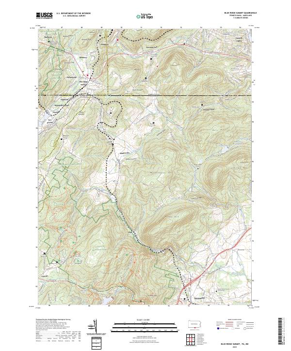 2023 Blue Ridge Summit2023 Print · USGSBlue Ridge Summit and the surrounding borderlands of Franklin and Frederick Counties are captured here in the 2020s. Researchers can trace historic family burial sites and military landmarks from Fort Ritchie to the Benchoff Family Cem and Otterbein Chapel Cem.
 - 2023 Map of New Windsor, 2023 Print
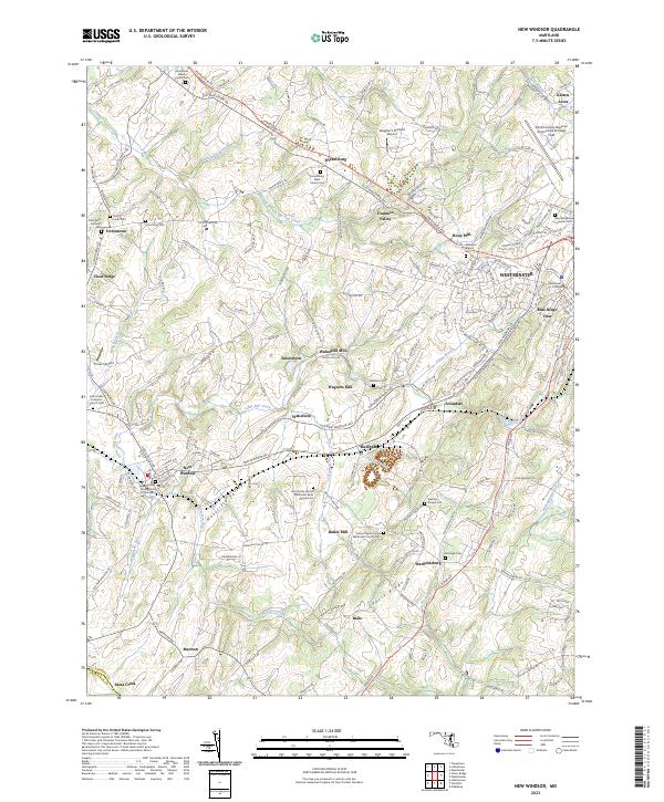 2023 New Windsor2023 Print · USGSCarroll County is captured in the early 2020s, showing the enduring agricultural and institutional character of the Piedmont. Genealogists can trace family landmarks like Saint Lucas Cem, Wakefield Mill, and the grounds of McDaniel College.
 - 2023 Map of Woodsboro, 2023 Print
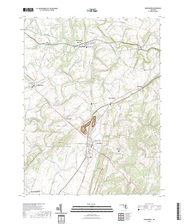 2023 Woodsboro2023 Print · USGSMaryland's Piedmont comes into focus in this recent survey of the settlements along the Monocacy River. Genealogists can trace family landmarks and burial sites across Creagerstown and Woodsboro, including the Harlan Cem and Oak Hill Cem.
 - 2023 Map of Middletown, 2023 Print
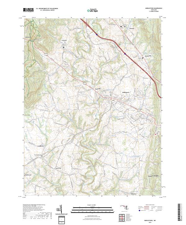 2023 Middletown2023 Print · USGSMiddletown and the fertile Middletown Valley are shown in the 2020s, highlighting a landscape of old turnpikes and ridge-top trails. Genealogists and hikers can trace the Appalachian Trail through Fox Gap or locate family sites at Mount Tabor Church Cem and Johnson Cem.
 - 2023 Map of Emmitsburg, 2023 Print
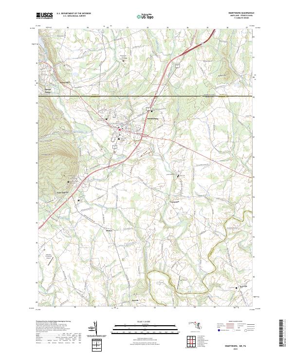 2023 Emmitsburg2023 Print · USGSEmmitsburg and the Maryland-Pennsylvania borderlands are shown here in recent years, centered on a landscape shaped by religious education and rural industry. Genealogists can locate Zimmerman Family Burial Grounds, Elder Cem, and Mount Saint Mary's University.
 - 2023 Map of Winfield, 2023 Print
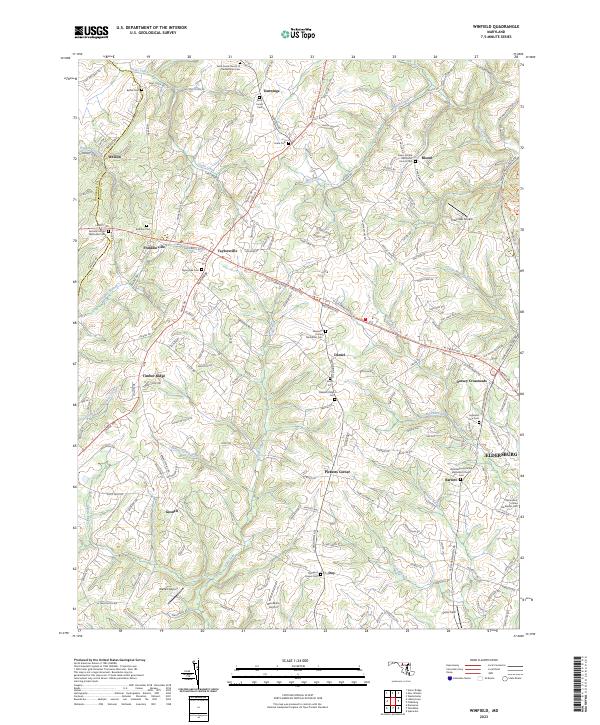 2023 Winfield2023 Print · USGSCarroll County's rural landscape is surveyed here in the early twenty-first century, showing the enduring pattern of crossroads hamlets and family-run airfields. Researchers can locate numerous historic burial grounds and churches, such as Saint James Cem and Morgans Chapel Cem, along the slopes of Parrs Ridge.
 - 2023 Map of Libertytown, 2023 Print
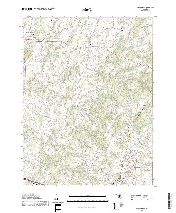 2023 Libertytown2023 Print · USGSMaryland's rolling Frederick and Carroll County borderlands are captured here in 2023, showcasing a landscape of creek valleys and crossroads. Genealogists can trace family connections at Saint Peter the Apostle Catholic Cem, Locust Grove Cem, and the historic Linganore Chapel Cem.
 - 2023 Map of Taneytown, 2023 Print
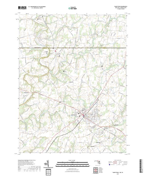 2023 Taneytown2023 Print · USGSThe Pennsylvania and Maryland borderlands near Taneytown are captured here in the early twenty-first century, showing a landscape rich in early American settlement history. Genealogists can trace family landmarks at Mairs Mill and numerous historic burial grounds like Sunrise Cemetery and Mount Joy Cemetery.
 - 2023 Map of Union Bridge, 2023 Print
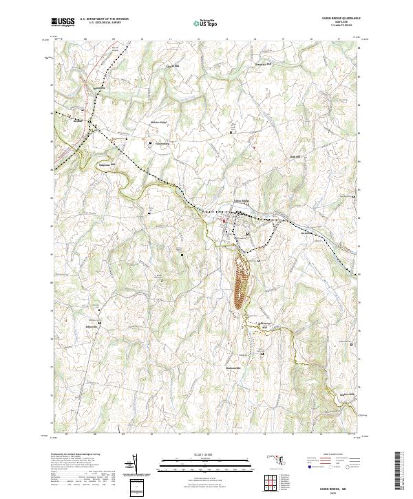 2023 Union Bridge2023 Print · USGSMaryland's Piedmont landscape is captured here in the contemporary era, showcasing a region still shaped by its historic milling and farming roots. Researchers can trace ancestral locations through numerous burial grounds like Pipe Creek Friends Cem and old industrial sites such as McKinstrys Mill.
 - 2023 Map of Frederick, 2023 Print
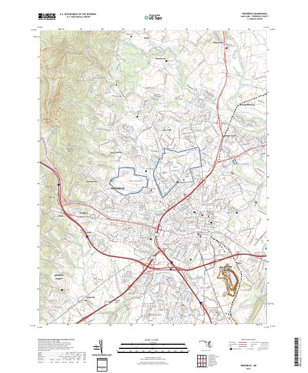 2023 Frederick2023 Print · USGSFrederick and the surrounding foothills appear in fine detail during this modern period of expansion. Researchers can trace ancestral sites at Mount Olivet Cem or explore the geography of Fort Detrick and the Monocacy River.
 - 2023 Map of Point of Rocks, 2023 Print
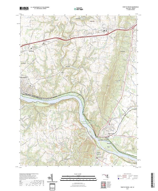 2023 Point of Rocks2023 Print · USGSThe Maryland-Virginia border along the Potomac River comes to life in this contemporary survey of the river valley. Genealogists and historians can trace numerous family and church burial grounds, from Saint Pauls Episcopal Church Cem to the Union Bethel African Methodist Episcopal Cem.
 - 2023 Map of Catoctin Furnace, 2023 Print
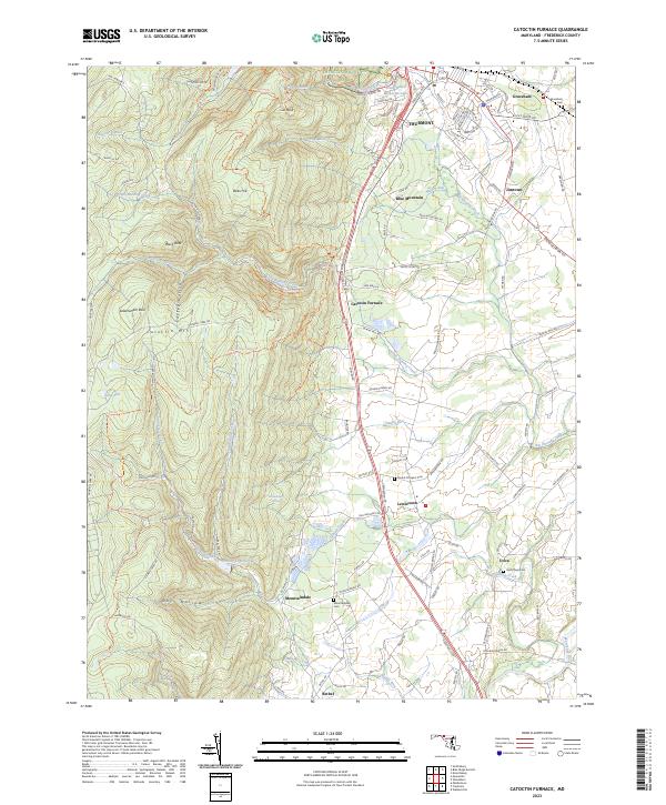 2023 Catoctin Furnace2023 Print · USGSMaryland's Blue Ridge front comes into focus during this 2023 survey of the Frederick Valley and its neighboring peaks. Genealogists and hikers can trace the connections between Thurmont and local landmarks like Catoctin Furnace, Graceham Cem, and Saint Pauls Cem.
 - 2023 Map of Urbana, 2023 Print
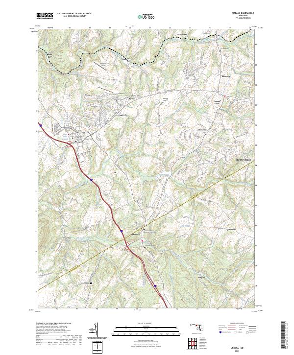 2023 Urbana2023 Print · USGSMaryland's rolling landscape south of the National Pike is captured here in the contemporary era. Researchers can trace historic family connections at the Bush Creek Cem, locate old industrial sites like Reels Mill, or explore the crossroads at Ijamsville.
 - 2023 Map of Damascus, 2023 Print
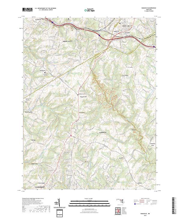 2023 Damascus2023 Print · USGSModern Maryland crossroads meet where four counties converge near Damascus and Mount Airy. Genealogists can trace family landmarks like Marvin Chapel Cem and Montgomery United Methodist Church along the historic Old National Pike.
 - 2023 Map of Keedysville, 2023 Print
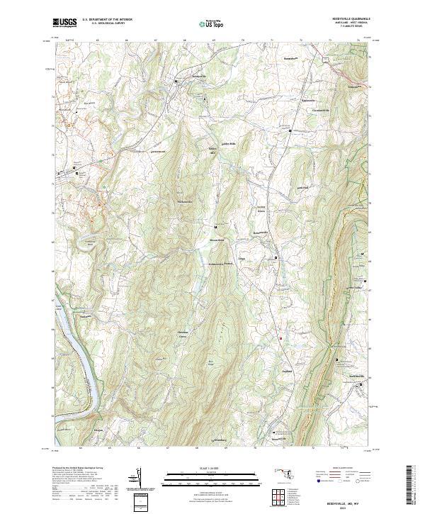 2023 Keedysville2023 Print · USGSMaryland's Civil War landscape and the Potomac River corridor are preserved in this modern study of Washington County. Trace family roots at the Antietam National Cem or explore historic sites like Eakles Mill and Crampton Gap.
 - 2023 Map of Smithsburg, 2023 Print
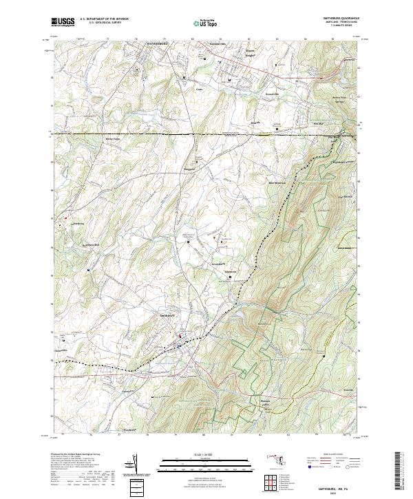 2023 Smithsburg2023 Print · USGSThe Pennsylvania and Maryland state line comes alive in this study of the Blue Ridge foothills during the early twenty-first century. Researchers can trace family history through numerous rural burial sites like Ringgold Graveyard and Stouffers Cem or locate the historic Bowmans Mill along the Antietam headwaters.
 - 2023 Map of Buckeystown, 2023 Print
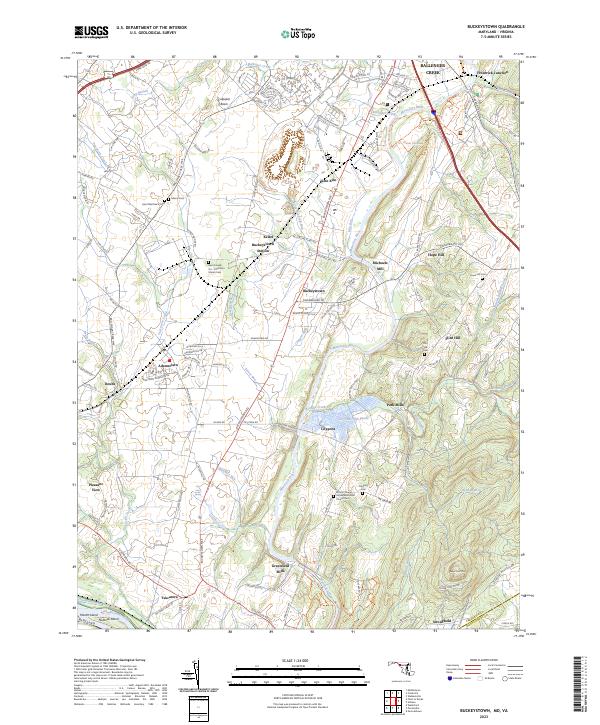 2023 Buckeystown2023 Print · USGSMaryland's Monocacy River valley remains a landscape of significant memory and commerce in the twenty-first century. Researchers can trace the heritage of the Chesapeake and Ohio Canal or locate family sites at Saint Matthew's Cem and Michaels Mill.
 - 2023 Map of Myersville, 2023 Print
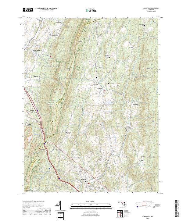 2023 Myersville2023 Print · USGSThe Frederick and Washington County line follows the spine of South Mountain in this recent survey of rural Maryland. Historians can trace established family roots at the Summers Family Cem, Jerusalem, and the historic Grossnickle Church of the Brethren Cem.
 - 2023 Map of Poolesville, 2023 Print
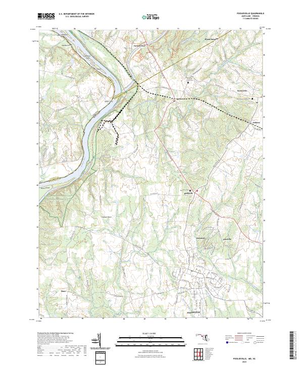 2023 Poolesville2023 Print · USGSMontgomery County’s rural heartland is meticulously documented here, showing the modern layout of towns like Poolesville and Dickerson alongside the Potomac River. Genealogists and historians can trace lineage through sites like Monocacy Cemetery or the community at Jerusalem.
 - 2023 Map of Walkersville, 2023 Print
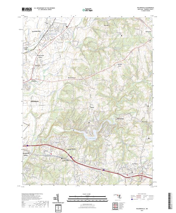 2023 Walkersville2023 Print · USGSFrederick County's northern corridor appears here in the early twenty-first century, showcasing the evolution of historic farm towns into modern residential communities. Genealogists can locate legacy sites like Glade Cem, Trinity Cem, and the historic Israel's Creek Meeting House Cem.
 - 2023 Map of Harpers Ferry, 2023 Print
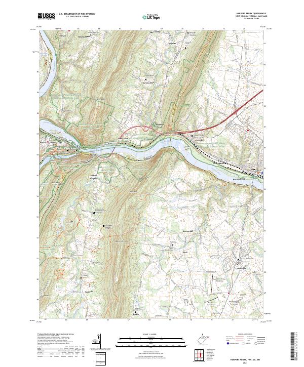 2023 Harpers Ferry2023 Print · USGSThe Potomac River water gap and the tri-state junction of Maryland, Virginia, and West Virginia are captured here in the early twenty-first century. Researchers can trace historic church sites and cemeteries such as Old Reformed Cem and Saint James Reformed Cem near Lovettsville.
End of results
Showing maps 1-21 of 21
Top cities of Frederick County
- Frederick historical maps
- Ballenger Creek historical maps
- Urbana historical maps
- Linganore historical maps
- Brunswick historical maps
- Thurmont historical maps
See more
Frequently asked questions
- What are the different types of historical maps available for Frederick County?
- What is the oldest map of Frederick County?
- Where can I purchase historical maps of Frederick County for my home or office?
- Where can I download high-res historical maps of Frederick County?
- Are there historical topographic maps available for Frederick County?
- Is there historical aerial imagery available for Frederick County?
- Where are historical maps of Frederick County sourced from?