Old Maps of Banks Township, Michigan for Genealogy
Trace your family roots with 35 historic maps of Banks Township. These high-res maps reveal old neighborhoods, homesites, landmarks, and streets — helping you uncover where your ancestors lived and how the area evolved over time.
- Explore historic neighborhoods: Identify where your relatives may have lived in the 1800s or 1900s.
- Compare maps over time: Trace the changes in streets, buildings, and landmarks for multi-generational research.
- Perfect for genealogy & ancestry research: Used by family historians and researchers to map out lineage and migration.
These maps are an incredible resource for exploring your personal connection to Banks Township's past.
Banks Township, MI maps
(35)- 1954 Map of Central Lake, 1955 Print
 1954 Central Lake1955 Print · USGSNorthern Antrim County in the mid-fifties is defined by the winding shores of Torch Lake and the inland Chain of Lakes. Local historians can trace the foundations of Central Lake and rural landmarks like the Greenwood Grange Sch or Antrim Cem.2 unique versions available
 - 1955 Map of Cheboygan, 1964 Print
 1955 Cheboygan1964 Print · USGSNorthern Michigan in the mid-fifties is a landscape of dense timber and deep water, showing the region just as the road network began to modernize. Trace family roots in lakeside towns like St Ignace and Petoskey, or follow the historic tracks of the Pennsylvania RR and New York Central RR.5 unique versions available
 - 1958 Map of Cheboygan
 1958 Cheboygan1958 Print · USGSThe tip of Michigan's Lower Peninsula and the surrounding Great Lakes islands are shown here in the late fifties, during the peak of the rail-and-ferry era. Trace the paths of the Pennsylvania RR and explore lakeside settlements like St James, Petoskey, and Indian River.2 unique versions available
 - 1961 Map of Boyne City, 1963 Print
 1961 Boyne City1963 Print · USGSCharlevoix and Antrim Counties are captured here in the early sixties, showing the transition between the glacial lake-country and the surrounding highland townships. Researchers can locate dozens of family-history landmarks like Vance Chapel, Calvary Cem, and the tracks of the Chesapeake and Ohio railroad.2 unique versions available
 - 1975 Map of Boyne City NW, 1976 Print
 1975 Boyne City NW1976 Print · USGSNorthern Michigan during the mid-seventies comes into focus through this detailed aerial survey of the Charlevoix region. Trace the development of waterfront communities like East Jordan and Ellsworth along the shores of South Arm Lake Charlevoix.
 - 1983 Map of Ellsworth, 1984 Print
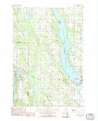 1983 Ellsworth1984 Print · USGSNorthern Michigan's lake-and-river network is on full display in the early eighties as Ellsworth and East Jordan thrive. Trace family roots at Lakeside Cem or follow the Chesapeake and Ohio rail line past Sixmile Lake.
 - 1983 Map of Atwood, 1984 Print
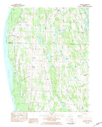 1983 Atwood1984 Print · USGSThe Lake Michigan coast of Antrim County is captured here in the early eighties, showcasing the rural landscapes between Grand Traverse Bay and the inland chain of lakes. Researchers can trace family roots at Antrim Cemetery or locate historic local landmarks like The Wayside Chapel and the Bell Tower Church.2 unique versions available
 - 1983 Map of Central Lake, 1984 Print
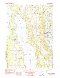 1983 Central Lake1984 Print · USGSAntrim County in the early eighties shows a landscape of deep inland waters and agricultural ridges. Genealogists can pinpoint family-named sites like Bennett Hill while locating ancestors in the Southern Cem or Russell Cem.
 - 1983 Map of Scotts Lake, 1984 Print
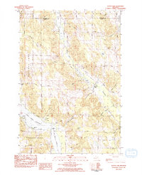 1983 Scotts Lake1984 Print · USGSThe Chain o' Lakes region of Antrim County is shown here in the early eighties as its shoreline communities and timberlands evolved. Researchers can find family landmarks and local institutions like Dingman School, Vance Chapel, and Morehouse Cem.
 - 1984 Map of Charlevoix, 1985 Print
 1984 Charlevoix1985 Print · USGSNorthern Michigan’s coastal peninsulas and deep inland lakes are captured here in the mid-eighties, showing the region's unique maritime and rail connectivity. Researchers can trace historic family-named landmarks and infrastructure like Woolsey Memorial Airport, Barnard Ch, and the Chesapeake and Ohio RR.2 unique versions available
 - 2011 Map of Central Lake, 2011 Print
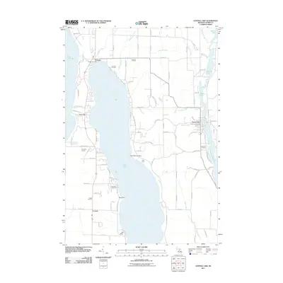 2011 Central Lake2011 Print · USGSAntrim County’s lake-districts are shown here in the early twenty-first century, spanning the narrow land between Lake Michigan and the Intermediate Lake chain. Genealogists and local historians can trace family plots at Lake View Cemetery or Southern Cemetery and locate the historic hubs of Central Lake and Eastport.
 - 2011 Map of Atwood OE W, 2011 Print
 2011 Atwood OE W2011 Print · USGSThe coastal village of Norwood is captured at the edge of Lake Michigan during the early twenty-first century. Genealogists and local historians can trace the community's layout through Norwood Cemetery and the residential corridors of Lake Shore Dr.
 - 2011 Map of Atwood, 2011 Print
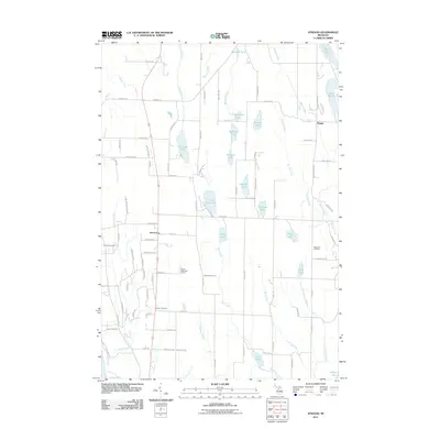 2011 Atwood2011 Print · USGSBanks Township and the settlement of Atwood are captured here in the early twenty-first century, showing a rural landscape woven with glacial lakes. Researchers can locate family heritage sites at Antrim Cemetery or Ellsworth Cemetery and trace local waterways like Toad Creek.
 - 2011 Map of Ellsworth, 2011 Print
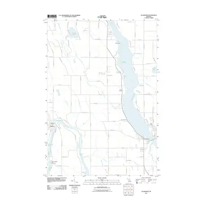 2011 Ellsworth2011 Print · USGSCharlevoix County’s glacier-carved landscape is on full display in this 2011 survey of the Ellsworth area. Researchers can trace local history through sites like the Ellsworth Post Office, Lakeside Cemetery, and the recreation hubs at Dutchmans Bay.
 - 2011 Map of Scotts Lake, 2011 Print
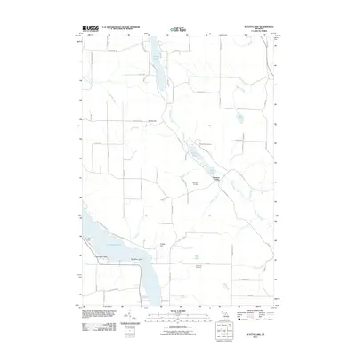 2011 Scotts Lake2011 Print · USGSThe Chain of Lakes region in Antrim County is captured here in the early twenty-first century, showing the waterways and hills of Central Lake. Researchers can locate family sites near Morehouse Cemetery, Densmore Cemetery, and the settlement of Pleasant Valley.
 - 2014 Map of Central Lake, 2014 Print
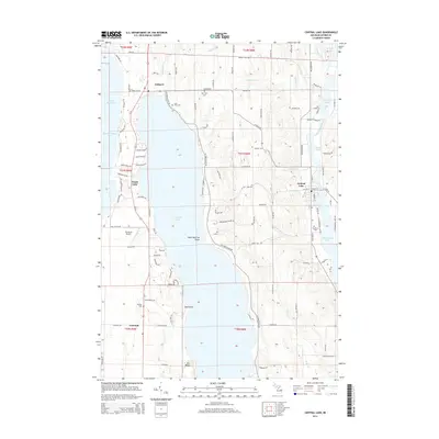 2014 Central Lake2014 Print · USGSAntrim County’s unique finger lakes and lakeside villages are captured in detail during the early twenty-first century. Genealogists and local historians can trace legacy landmarks like Lake View Cem, the Greenwood School, and the winding course of the Intermediate River.
 - 2014 Map of Scotts Lake, 2014 Print
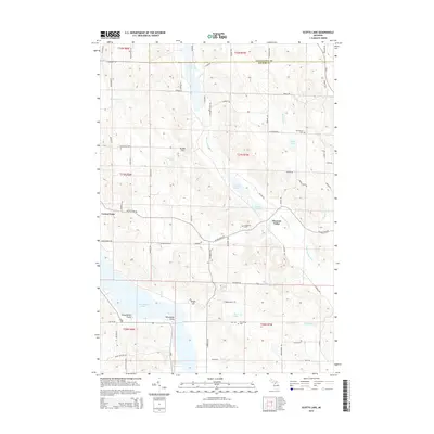 2014 Scotts Lake2014 Print · USGSAntrim County’s Chain o' Lakes region is shown here in the mid-2010s, where the Intermediate River connects a string of glacial lakes. Local historians can trace cemetery locations like Densmore Cem and shoreline landmarks including Deep Water Point and Recreation Point.
 - 2014 Map of Atwood OE W, 2014 Print
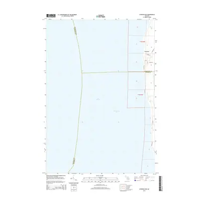 2014 Atwood OE W2014 Print · USGSThe Lake Michigan shoreline at the meeting of Charlevoix and Antrim counties is captured here in the early twenty-first century. Genealogists can locate family names in Norwood Cem or trace the early settlement layout of Norwood near Whiskey Cr.
 - 2014 Map of Atwood, 2014 Print
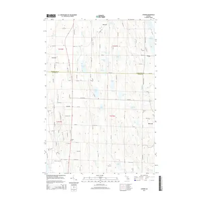 2014 Atwood2014 Print · USGSNorthern Michigan's lake country is captured here during the early twenty-first century, showing the rural landscapes of Antrim and Charlevoix counties. Genealogists can trace family sites at Antrim Cem and Atwood Cem, or explore the lakeside settings of Ellsworth and Norwood.
 - 2014 Map of Ellsworth, 2014 Print
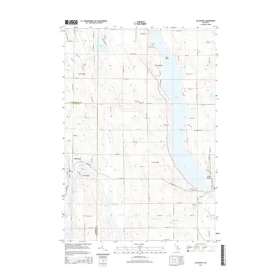 2014 Ellsworth2014 Print · USGSNorthern Michigan's lake-studded landscape is captured here in the early twenty-first century as the region's communities evolved along the shorelines. Researchers can trace family sites near East Jordan, locate Lakeside Cem, or explore the narrow waters of Ironton and Dutchmans Bay.
 - 2017 Map of Scotts Lake, 2017 Print
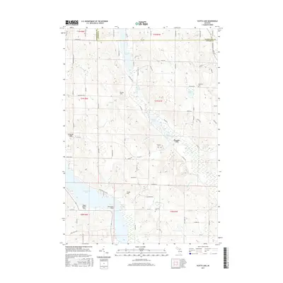 2017 Scotts Lake2017 Print · USGSAntrim County in the 2010s shows a landscape woven together by the Intermediate River and its chain of lakes. Researchers can locate family heritage sites at the Morehouse Cem or trace the early paths of Pleasant Valley and Central Lake.
 - 2017 Map of Ellsworth, 2017 Print
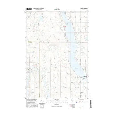 2017 Ellsworth2017 Print · USGSThe Chain o' Lakes region comes into focus during this modern era, showing the intricate connection between Ellsworth and East Jordan. Genealogists and local researchers can trace early homesteads and burial sites at Sunset Hill Cem and Lakeside Cem near the shores of Lake Charlevoix.
 - 2017 Map of Atwood, 2017 Print
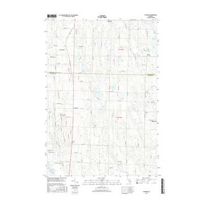 2017 Atwood2017 Print · USGSCoastal Antrim and Charlevoix counties are detailed here during the late twenty-tens, showing the rural landscape around Ellsworth and Norwood. Researchers can trace local lineage through Antrim Cem and Atwood Cem or explore the many shorelines of Little Torch Lake and Lake Marion.
 - 2017 Map of Central Lake, 2017 Print
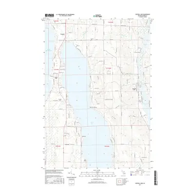 2017 Central Lake2017 Print · USGSAntrim County’s chain of lakes is shown in detail during the late twenty-teens, capturing the settlements between Torch Lake and the Intermediate River. Genealogists and local historians can locate early cemeteries like Southern Cem and Russell Cem or trace landmarks such as Old Baldy.
 - 2017 Map of Atwood OE W, 2017 Print
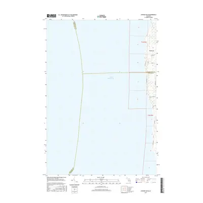 2017 Atwood OE W2017 Print · USGSThe coastal community of Norwood is shown here as it appeared in the late 2010s, situated at the unique aquatic meeting point of three Michigan counties. Researchers can trace local lineage at Norwood Cem or explore the shoreline access near Whisky Cr and Banks Twp Park Rd.
Showing maps 1-25 of 35
Top cities near Banks Township
- Petoskey historical maps
- Peninsula Township historical maps
- Charlevoix historical maps
- East Jordan historical maps
- Torch Lake historical maps
- Bellaire historical maps
See more
Top neighborhoods of Banks Township
Frequently asked questions
- What are the different types of historical maps available for Banks Township?
- What is the oldest map of Banks Township?
- Where can I purchase historical maps of Banks Township for my home or office?
- Where can I download high-res historical maps of Banks Township?
- Are there historical topographic maps available for Banks Township?
- Is there historical aerial imagery available for Banks Township?
- Where are historical maps of Banks Township sourced from?