2000s (21st Century) Maps of Ensley Township, Michigan
Explore 20 historic maps of Ensley Township from the 2000s (21st Century). These maps offer a rare glimpse into what life looked like during the 2000s — showing old roads, neighborhoods, homes, and landmarks that have changed or disappeared over time.
Whether you're researching your family's past, planning a metal detecting trip, or studying how Ensley Township's landscape evolved across the 2000s, these high-resolution maps are a powerful tool for exploring the history of this region.
- Focus on a specific era: All maps on this page are from the 2000s, giving you a focused view of this time period.
- See what’s changed: Compare century-old streets, trails, and buildings to today's modern landscape using overlays and satellite layers.
- Research with precision: Use these maps for genealogy, historical research, land use analysis, or educational projects.
- View, download, or print: Maps are fully viewable online in high resolution, and can be downloaded or printed for your own records.
Start exploring Ensley Township's history through authentic maps from the 2000s. This is your window into the past.
Ensley Township, MI maps
(20)- 2011 Map of Sand Lake, 2011 Print
 2011 Sand Lake2011 Print · USGSCovers Ensley Township, including Sand Lake, Pierson, and other nearby areas
 - 2011 Map of Sand Lake SW, 2011 Print
 2011 Sand Lake SW2011 Print · USGSCovers Ensley Township, including Grant Township, Solon Township, and other nearby areas
 - 2012 Map of Tift Corner, 2012 Print
 2012 Tift Corner2012 Print · USGSCovers Ensley Township, including Croton Township, Reynolds Township, and other nearby areas
 - 2012 Map of Croton, 2012 Print
 2012 Croton2012 Print · USGSCovers Ensley Township, including Croton, Croton Township, and other nearby areas
 - 2014 Map of Tift Corner, 2014 Print
 2014 Tift Corner2014 Print · USGSCovers Ensley Township, including Croton Township, Reynolds Township, and other nearby areas
 - 2014 Map of Sand Lake, 2014 Print
 2014 Sand Lake2014 Print · USGSCovers Ensley Township, including Sand Lake, Pierson, and other nearby areas
 - 2014 Map of Croton, 2014 Print
 2014 Croton2014 Print · USGSCovers Ensley Township, including Croton, Croton Township, and other nearby areas
 - 2014 Map of Sand Lake SW, 2014 Print
 2014 Sand Lake SW2014 Print · USGSCovers Ensley Township, including Grant Township, Solon Township, and other nearby areas
 - 2017 Map of Sand Lake SW, 2017 Print
 2017 Sand Lake SW2017 Print · USGSCovers Ensley Township, including Grant Township, Solon Township, and other nearby areas
 - 2017 Map of Tift Corner, 2017 Print
 2017 Tift Corner2017 Print · USGSCovers Ensley Township, including Croton Township, Reynolds Township, and other nearby areas
 - 2017 Map of Croton, 2017 Print
 2017 Croton2017 Print · USGSCovers Ensley Township, including Croton, Croton Township, and other nearby areas
 - 2017 Map of Sand Lake, 2017 Print
 2017 Sand Lake2017 Print · USGSCovers Ensley Township, including Sand Lake, Pierson, and other nearby areas
 - 2019 Map of Sand Lake SW, 2019 Print
 2019 Sand Lake SW2019 Print · USGSCovers Ensley Township, including Grant Township, Solon Township, and other nearby areas
 - 2019 Map of Sand Lake, 2019 Print
 2019 Sand Lake2019 Print · USGSCovers Ensley Township, including Sand Lake, Pierson, and other nearby areas
 - 2019 Map of Tift Corner, 2019 Print
 2019 Tift Corner2019 Print · USGSCovers Ensley Township, including Croton Township, Reynolds Township, and other nearby areas
 - 2019 Map of Croton, 2019 Print
 2019 Croton2019 Print · USGSCovers Ensley Township, including Croton, Croton Township, and other nearby areas
 - 2023 Map of Sand Lake, 2023 Print
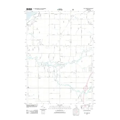
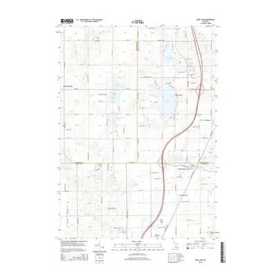
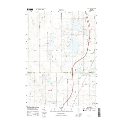
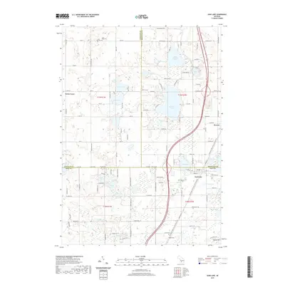
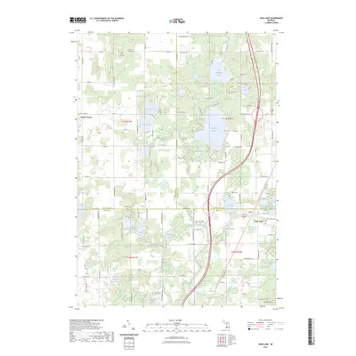 2023 Sand Lake2023 Print · USGSThe lake-dotted borderlands of Kent and Montcalm Counties appear in clear detail in this recent survey. Researchers can trace family history through several local burial grounds like Crandall Cem or locate seasonal properties near Whitefish Lake and Sand Lake.
 - 2023 Map of Sand Lake SW, 2023 Print
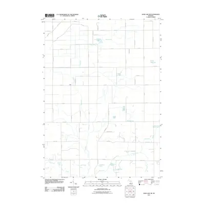
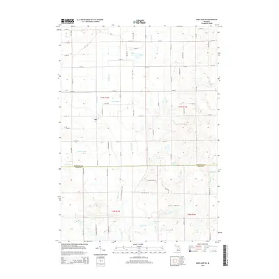
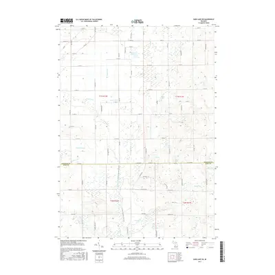
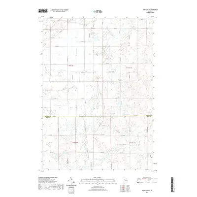
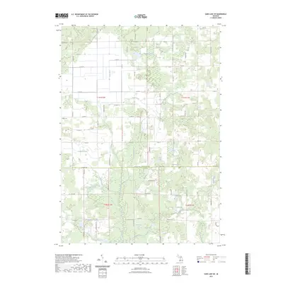 2023 Sand Lake SW2023 Print · USGSThis rural area on the Newaygo and Kent county line reflects a landscape of active agriculture and glacial lakes in the early twenty-first century. Genealogists and hikers can locate the Hillside Cem and trace the winding path of the North Country National Scenic Trail past Moore Lake.
 - 2023 Map of Tift Corner, 2023 Print
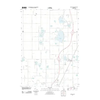
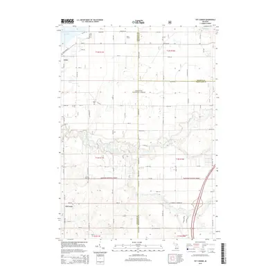
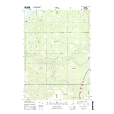
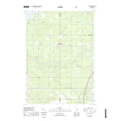
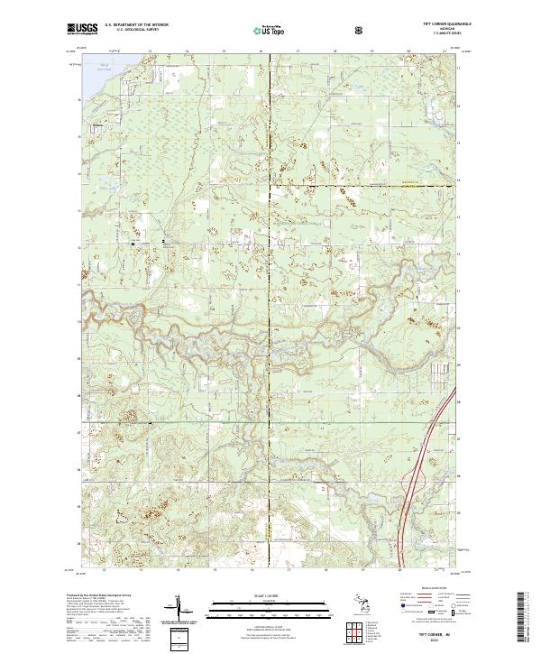 2023 Tift Corner2023 Print · USGSNewaygo and Mecosta counties meet in this recent survey of the Michigan woods and wetlands. Genealogists and local historians can trace rural property lines and find quiet burial grounds like Stearns Prairie Cem and Christian Plains Cem.
 - 2023 Map of Croton, 2023 Print
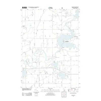
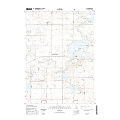
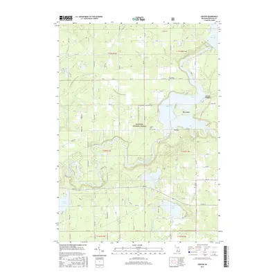
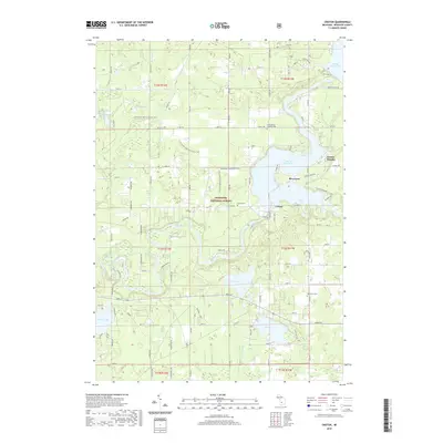
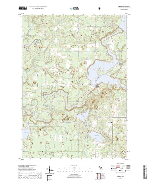 2023 Croton2023 Print · USGSThe Muskegon River confluence and the Manistee National Forest dominate this Newaygo County landscape. Trace local family roots at Croton Cem or explore the shores of Hardy Dam Pond and Bills Lake.
End of results
Showing maps 1-20 of 20
Top cities near Ensley Township
- Plainfield Charter Township historical maps
- Cannon Township historical maps
- Alpine Township historical maps
- Rockford historical maps
- Sparta historical maps
- Croton historical maps
See more
Top neighborhoods of Ensley Township
Frequently asked questions
- What are the different types of historical maps available for Ensley Township?
- What is the oldest map of Ensley Township?
- Where can I purchase historical maps of Ensley Township for my home or office?
- Where can I download high-res historical maps of Ensley Township?
- Are there historical topographic maps available for Ensley Township?
- Is there historical aerial imagery available for Ensley Township?
- Where are historical maps of Ensley Township sourced from?