Old Maps of Ensley Township, Michigan for Hiking & Exploration
Hike through history with 31 historic maps of Ensley Township. Explore old trails, ghost towns, and forgotten backroads — perfect for outdoor adventurers and local explorers.
- Rediscover forgotten places: Map out old mining camps, roads, and footpaths that no longer exist on modern maps.
- Layer with modern tools: Combine with LiDAR or satellite views to plan hikes through historical terrain.
- Made for exploration: Popular among hikers, overlanders, and local history lovers.
Use these maps to find adventure and explore the hidden past of Ensley Township.
Ensley Township, MI maps
(31)- 1954 Map of Midland, 1967 Print
 1954 Midland1967 Print · USGSMid-Michigan at the peak of the post-war era shows a landscape balancing industrial growth in Midland with the deep timberlands of the Manistee National Forest. Researchers can trace the legacy of the timber and rail era along the Pennsylvania RR or find family roots in river towns like Chesaning and Big Rapids.4 unique versions available
 - 1958 Map of Midland
 1958 Midland1958 Print · USGSCentral Michigan in the late fifties is captured here during a period of transition for its university towns and industrial hubs. Genealogists and researchers can trace family lines through old rail-stop towns like Breckenridge and Chesaning or locate property near the Muskegon River and Prairie Farm.
 - 1958 Map of Sand Lake, 1960 Print
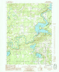
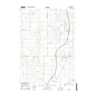
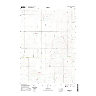
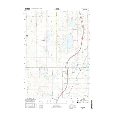
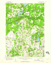 1958 Sand Lake1960 Print · USGSWest-central Michigan at the close of the fifties reveals a landscape shaped by the meeting of the Muskegon rivers and the expansive Manistee National Forest. Genealogists can locate family names and sites at Ensley Center, the Lady of Guadalupe Mission, and the Sand Lake Cem.2 unique versions available
 - 1959 Map of Midland
 1959 Midland1959 Print · USGSMid-century Michigan comes alive in this survey of the central Lower Peninsula, from the streets of Grand Rapids to the Houghton Lake timberlands. Genealogists and rail fans can trace the Ann Arbor RR and Chesapeake and Ohio RR through towns like Big Rapids and Mount Pleasant.
 - 1966 Map of Midland
 1966 Midland1966 Print · USGSCentral Michigan in the mid-1960s shows a landscape of growing manufacturing hubs and active resource extraction. Genealogists and historians can trace the rail corridors of the Grand Trunk Western or locate family-named landmarks near Oil wells and the Muskegon River.
 - 1985 Map of Sand Lake SW
 1985 Sand Lake SW1985 Print · USGSThe Rogue River valley and the kettle lakes of West Michigan appear here in the mid-1980s as a landscape of small farms and rural townships. Genealogists and local historians can trace family locations near Walter, Grant Christian Sch, and the Red Pine Bible Ch.
 - 1985 Map of Sand Lake
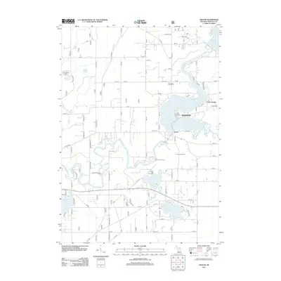
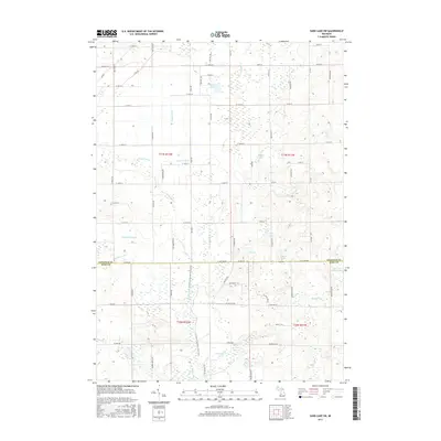
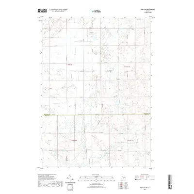
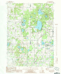 1985 Sand Lake1985 Print · USGSThe tri-county junction of Kent, Newaygo, and Montcalm comes to life in this mid-eighties survey of lake-dotted townships. You can trace early community footprints through the Crandall Cem, the village of Pierson, and the small settlement at Eisley Center.
 - 1985 Map of Cedar Springs
 1985 Cedar Springs1985 Print · USGSThe northern reaches of the Grand Rapids metro area meet the forests of the Manistee during the mid-eighties. Genealogists and historians can trace the paths of the Grand Trunk Western RR through Sparta or locate rural landmarks near Cedar Springs and Rockford.
 - 1985 Map of Tift Corner
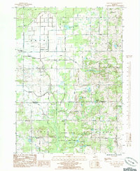
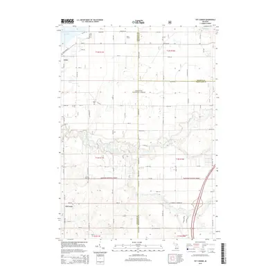
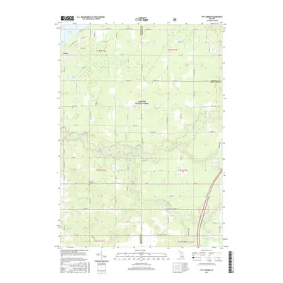
 1985 Tift Corner1985 Print · USGSThe rural landscapes of Newaygo County are mapped here in the mid-1980s, centered on the winding Little Muskegon River. Researchers can trace old family roots through sites like Tift Corner, Handy School, and the Christian Plains Cem.
 - 1985 Map of Croton
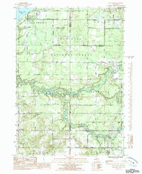
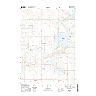
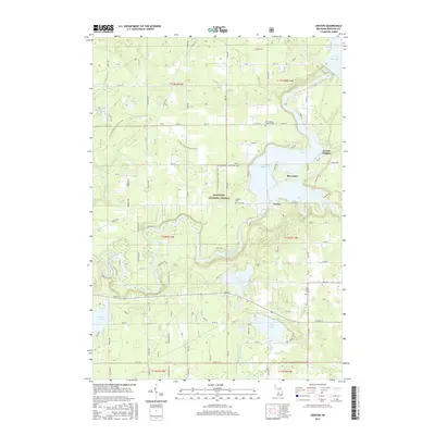
 1985 Croton1985 Print · USGSThe Muskegon River valley in the mid-1980s shows a landscape shaped by hydroelectric power and the timber-rich Manistee National Forest. Researchers can trace the legacy of early settlements through Croton Cemetery and explore the growth of riverside communities at Croton Heights and Riverview.
 - 1986 Map of Cedar Springs, 1989 Print
 1986 Cedar Springs1989 Print · USGSThe northern suburbs of Grand Rapids meet the Manistee National Forest in the mid-1980s. Genealogists and historians can trace the rail-side growth of Howard City, Rockford, and Greenville along the C & O RR and Flat River.
 - 2011 Map of Sand Lake, 2011 Print
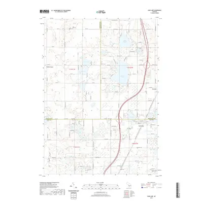
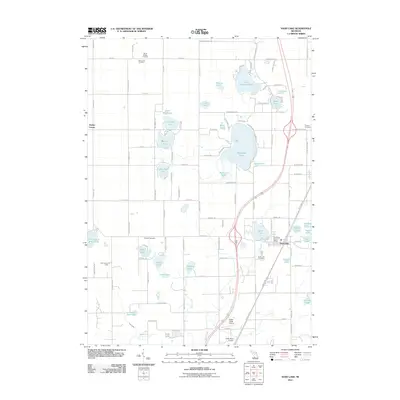 2011 Sand Lake2011 Print · USGSCovers Ensley Township, including Sand Lake, Pierson, and other nearby areas
 - 2011 Map of Sand Lake SW, 2011 Print
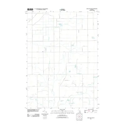 2011 Sand Lake SW2011 Print · USGSCovers Ensley Township, including Grant Township, Solon Township, and other nearby areas
 - 2012 Map of Tift Corner, 2012 Print
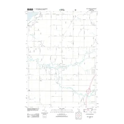 2012 Tift Corner2012 Print · USGSCovers Ensley Township, including Croton Township, Reynolds Township, and other nearby areas
 - 2012 Map of Croton, 2012 Print
 2012 Croton2012 Print · USGSCovers Ensley Township, including Croton, Croton Township, and other nearby areas
 - 2014 Map of Tift Corner, 2014 Print
 2014 Tift Corner2014 Print · USGSCovers Ensley Township, including Croton Township, Reynolds Township, and other nearby areas
 - 2014 Map of Sand Lake, 2014 Print
 2014 Sand Lake2014 Print · USGSCovers Ensley Township, including Sand Lake, Pierson, and other nearby areas
 - 2014 Map of Croton, 2014 Print
 2014 Croton2014 Print · USGSCovers Ensley Township, including Croton, Croton Township, and other nearby areas
 - 2014 Map of Sand Lake SW, 2014 Print
 2014 Sand Lake SW2014 Print · USGSCovers Ensley Township, including Grant Township, Solon Township, and other nearby areas
 - 2017 Map of Sand Lake SW, 2017 Print
 2017 Sand Lake SW2017 Print · USGSCovers Ensley Township, including Grant Township, Solon Township, and other nearby areas
 - 2017 Map of Tift Corner, 2017 Print
 2017 Tift Corner2017 Print · USGSCovers Ensley Township, including Croton Township, Reynolds Township, and other nearby areas
 - 2017 Map of Croton, 2017 Print
 2017 Croton2017 Print · USGSCovers Ensley Township, including Croton, Croton Township, and other nearby areas
 - 2017 Map of Sand Lake, 2017 Print
 2017 Sand Lake2017 Print · USGSCovers Ensley Township, including Sand Lake, Pierson, and other nearby areas
 - 2019 Map of Sand Lake SW, 2019 Print
 2019 Sand Lake SW2019 Print · USGSCovers Ensley Township, including Grant Township, Solon Township, and other nearby areas
 - 2019 Map of Sand Lake, 2019 Print
 2019 Sand Lake2019 Print · USGSCovers Ensley Township, including Sand Lake, Pierson, and other nearby areas
Showing maps 1-25 of 31
Top cities near Ensley Township
- Plainfield Charter Township historical maps
- Cannon Township historical maps
- Alpine Township historical maps
- Rockford historical maps
- Sparta historical maps
- Croton historical maps
See more
Top neighborhoods of Ensley Township
Frequently asked questions
- What are the different types of historical maps available for Ensley Township?
- What is the oldest map of Ensley Township?
- Where can I purchase historical maps of Ensley Township for my home or office?
- Where can I download high-res historical maps of Ensley Township?
- Are there historical topographic maps available for Ensley Township?
- Is there historical aerial imagery available for Ensley Township?
- Where are historical maps of Ensley Township sourced from?