1980s Maps of Carp Lake Township, Michigan
Explore 7 historic maps of Carp Lake Township from the 1980s. These maps offer a rare glimpse into what life looked like during the 1980s — showing old roads, neighborhoods, homes, and landmarks that have changed or disappeared over time.
Whether you're researching your family's past, planning a metal detecting trip, or studying how Carp Lake Township's landscape evolved across the 1980s, these high-resolution maps are a powerful tool for exploring the history of this region.
- Focus on a specific era: All maps on this page are from the 1980s, giving you a focused view of this time period.
- See what’s changed: Compare century-old streets, trails, and buildings to today's modern landscape using overlays and satellite layers.
- Research with precision: Use these maps for genealogy, historical research, land use analysis, or educational projects.
- View, download, or print: Maps are fully viewable online in high resolution, and can be downloaded or printed for your own records.
Start exploring Carp Lake Township's history through authentic maps from the 1980s. This is your window into the past.
Carp Lake Township, MI maps
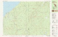
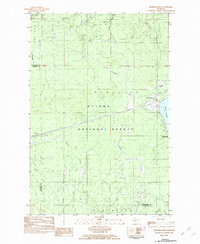
(7)- 1980 Map of Carp River, 1981 Print
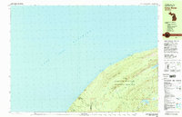 1980 Carp River1981 Print · USGSThe northern wilderness of the Upper Peninsula is documented here in the early eighties, centered on the high ridges above Lake Superior. Trace the footpaths of the Porcupine Mountains to find the Old LaFayette Mine and Lake of the Clouds.2 unique versions available
 - 1980 Map of Tiebel Creek, 1981 Print
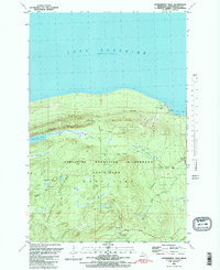
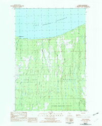
 1980 Tiebel Creek1981 Print · USGSThe Upper Peninsula wilderness along Lake Superior is captured here during the early eighties, where the Porcupine Mountains meet the coast. Trace the industrial legacy of the Old Railroad Grade or locate remote landmarks like Summit Peak and Beaver Lake.2 unique versions available
 - 1981 Map of Government Peak
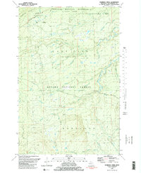
 1981 Government Peak1981 Print · USGSOntonagon County's wilderness is captured in the early eighties as it transitions from a mining frontier to a protected state park. Trace old copper works at Carp Lake Mine and Union Mine near landmarks like Lake of the Clouds.2 unique versions available
 - 1981 Map of Thomaston
 1981 Thomaston1981 Print · USGSGogebic County in the early eighties shows a landscape of timber management and mining infrastructure. You can trace the path of the Soo Line through settlements like Thomaston and Connorville or locate natural landmarks such as Gabbro Falls and Minnewawa Falls.
 - 1981 Map of Aldridge Creek
 1981 Aldridge Creek1981 Print · USGSOntonagon County’s wilderness remains largely untouched in the early 1980s, showcasing the intersection of state and national forest lands. Local historians can trace the White Pine Extension Mine and remote waterways like Aldridge Creek or Sleepy Creek.2 unique versions available
 - 1982 Map of Merriweather
 1982 Merriweather1982 Print · USGSThe northern shores of Lake Gogebic are captured here in the early eighties, showcasing the community of Merriweather and its surrounding timberlands. Local historians can trace the lakeside development at Ontonagon County Park and inland features like Haskin Rapid and the Pipeline.
 - 1982 Map of Green, 1983 Print
 1982 Green1983 Print · USGSOntonagon County’s shoreline and timbered interior are captured here in the early eighties, where the settlement of Green meets Lake Superior. Genealogists and industrial historians can trace an Old RR Grade, locate the local Cem, or study the drainage of the Cranberry River.
End of results
Showing maps 1-7 of 7
Top cities near Carp Lake Township
Top neighborhoods of Carp Lake Township
Frequently asked questions
- What are the different types of historical maps available for Carp Lake Township?
- What is the oldest map of Carp Lake Township?
- Where can I purchase historical maps of Carp Lake Township for my home or office?
- Where can I download high-res historical maps of Carp Lake Township?
- Are there historical topographic maps available for Carp Lake Township?
- Is there historical aerial imagery available for Carp Lake Township?
- Where are historical maps of Carp Lake Township sourced from?