2000s (21st Century) Maps of Carp Lake Township, Michigan
Explore 56 historic maps of Carp Lake Township from the 2000s (21st Century). These maps offer a rare glimpse into what life looked like during the 2000s — showing old roads, neighborhoods, homes, and landmarks that have changed or disappeared over time.
Whether you're researching your family's past, planning a metal detecting trip, or studying how Carp Lake Township's landscape evolved across the 2000s, these high-resolution maps are a powerful tool for exploring the history of this region.
- Focus on a specific era: All maps on this page are from the 2000s, giving you a focused view of this time period.
- See what’s changed: Compare century-old streets, trails, and buildings to today's modern landscape using overlays and satellite layers.
- Research with precision: Use these maps for genealogy, historical research, land use analysis, or educational projects.
- View, download, or print: Maps are fully viewable online in high resolution, and can be downloaded or printed for your own records.
Start exploring Carp Lake Township's history through authentic maps from the 2000s. This is your window into the past.
Carp Lake Township, MI maps
(56)- 2001 Map of Underwood Hill, 2004 Print
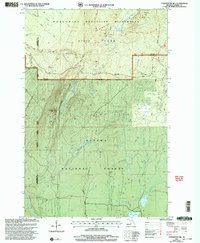 2001 Underwood Hill2004 Print · USGSThe wilderness of the Upper Peninsula is preserved here at the start of the 2000s, where the high ridges of the Porcupine Mountains meet the Ottawa National Forest. Researchers can trace the paths of the North Country National Scenic Trail, locate the settlement of Underwood, and find landmarks like Greenstone Falls.
 - 2011 Map of Underwood Hill, 2011 Print
 2011 Underwood Hill2011 Print · USGSThe Northwoods wilderness of Ontonagon County comes alive in this 2011 survey of the Porcupine Mountains area. Researchers and outdoorsmen can trace the remote Porcupine Mtn Wilderness Trl, the high Underwood Lookout Tower, and quiet landmarks like Greenstone Falls.
 - 2011 Map of White Pine, 2011 Print
 2011 White Pine2011 Print · USGSOntonagon County's Lake Superior shoreline is captured here in the early 21st century, where lake-edge settlements meet a landscape of interior rivers and waterfalls. Genealogists and local historians can trace the street layouts of White Pine and Silver City or locate the site of Nonesuch near the scenic Nonesuch Falls.
 - 2011 Map of Merriweather, 2011 Print
 2011 Merriweather2011 Print · USGSUpper Peninsula timberlands and the shores of Lake Gogebic are documented here just after the turn of the millennium. Researchers can trace the Ethelwood Grade and identify local landmarks like the Ontonagon County Park Campground and Picnic Area and Merriweather.
 - 2011 Map of Green, 2011 Print
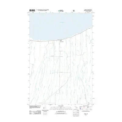 2011 Green2011 Print · USGSCoastal Ontonagon County comes into focus in the early twenty-first century as the settlement of Green anchors the Lake Superior shoreline. Genealogists and local historians can trace legacy sites like the Finnish Evangelical Lutheran Cemetery and Carp Lake School.
 - 2011 Map of Government Peak, 2011 Print
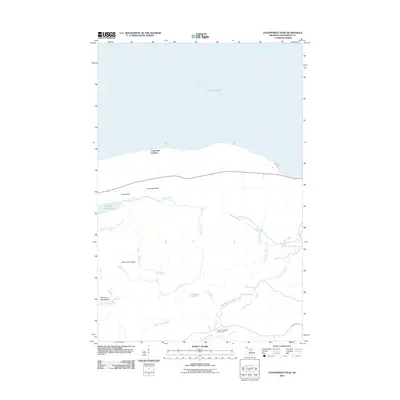 2011 Government Peak2011 Print · USGSOntonagon County’s wilderness interior meets the Lake Superior shore in this modern survey of the high copper country. Trace backcountry routes along the Porcupine Mtn Wilderness Trl or locate landmarks like Government Peak and Lake of the Clouds.
 - 2011 Map of Carp River East, 2011 Print
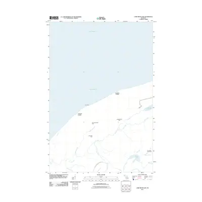 2011 Carp River East2011 Print · USGSThe Lake Superior shoreline and the high peaks of the Upper Peninsula define this area in the early 2000s. Hikers and local historians can trace the paths to Lake of the Clouds, locate Big Carp Falls, and identify summits like Miscowawbic Peak.
 - 2011 Map of Matchwood NW, 2011 Print
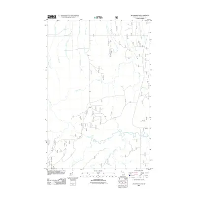 2011 Matchwood NW2011 Print · USGSOntonagon County timberlands and river systems are documented here during the early twenty-first century. Genealogists and local historians can locate the Norwich Cemetery and trace the paths of Forest Rd 630 toward Cascade Falls.
 - 2011 Map of Bergland NE, 2011 Print
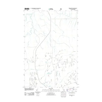 2011 Bergland NE2011 Print · USGSThe Trap Hills of Michigan's Upper Peninsula are shown in detail during the early 21st century, revealing a landscape defined by its many rivers and high ridges. Researchers can locate remote landmarks such as the Bergland Lookout Tower, Krobath Cabin, and Little Trap Falls on Anderson Creek.
 - 2011 Map of Carp River West, 2011 Print
 2011 Carp River West2011 Print · USGSThe Michigan shoreline of the Upper Peninsula meets the expanse of the Great Lakes in the early twenty-first century. Researchers can trace the wild coastal hydrology where the Carp River and Little Carp River descend toward the coast through Bathtub Falls and Traders Falls.
 - 2011 Map of Aldridge Creek, 2011 Print
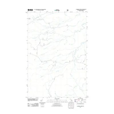 2011 Aldridge Creek2011 Print · USGSUpper Peninsula timberlands and the southern edge of the Porkies come into focus in this early twenty-first-century survey. Trace the wild river systems of Ontonagon County through landmarks like Deer Creek Falls, the Big Iron River, and the White Pine Camp and Picnic Area.
 - 2011 Map of Tula, 2011 Print
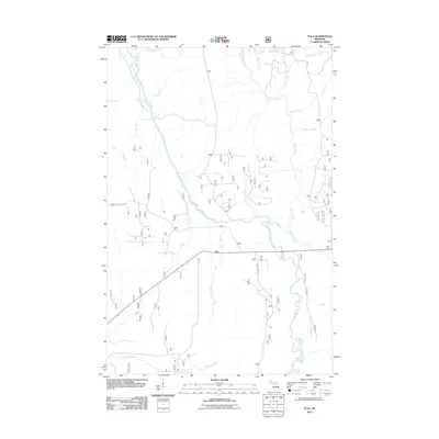 2011 Tula2011 Print · USGSUpper Peninsula timberlands and river systems are documented here in the early twenty-first century. Researchers can trace the drainage patterns of Presque Isle River and locate remote landmarks like Nimikon Falls and the settlement of Tula.
 - 2014 Map of Carp River East, 2014 Print
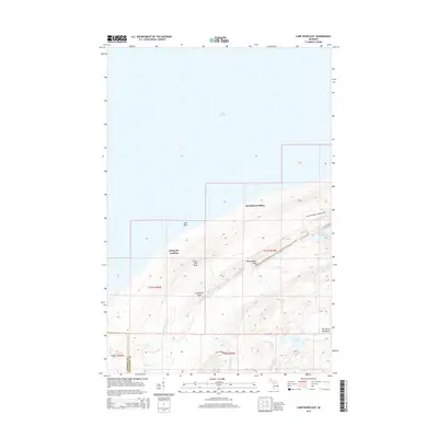 2014 Carp River East2014 Print · USGSThe Lake Superior shoreline and the Porcupine Mountains meet in this 2014 study of Michigan's western Upper Peninsula. You can trace the rugged topography from Lake of the Clouds to coastal points like Buckshot Landing and LaFayette Landing.
 - 2014 Map of Underwood Hill, 2014 Print
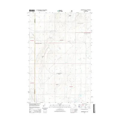 2014 Underwood Hill2014 Print · USGSThe western Upper Peninsula wilderness is captured here in the early twenty-first century, showing the intersection of the Porcupine Mountains and Ottawa National Forest. Researchers can trace the path of the N Country National Scenic Trail and locate remote water features like Greenstone Falls and Lily Pond.
 - 2014 Map of Carp River West, 2014 Print
 2014 Carp River West2014 Print · USGSThe Lake Superior shoreline and the deep woods of the Upper Peninsula are captured here in the early twenty-first century. Hikers and local historians can trace the North Country National Scenic Trail as it passes near Bathtub Falls and Traders Falls.
 - 2014 Map of Tula, 2014 Print
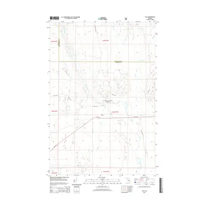 2014 Tula2014 Print · USGSUpper Peninsula timberlands and river systems are detailed here in the mid-2010s, centered on the Ottawa National Forest. Researchers can map out the complex drainage of the Presque Isle River and locate Nimikon Falls, Bass Lake, and the settlement at Tula.
 - 2014 Map of Green, 2014 Print
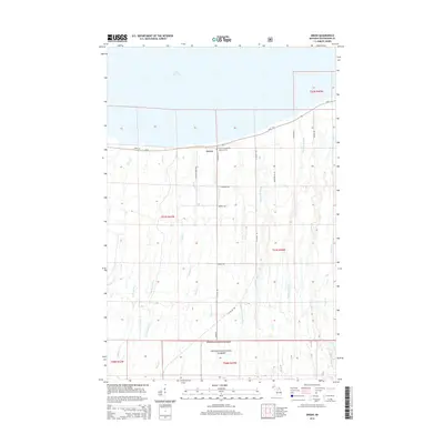 2014 Green2014 Print · USGSCoastal Ontonagon County meets the woods of the Upper Peninsula in this survey from the mid-2010s. Genealogists can trace family roots along Hokkanen Rd or visit the Finnish Evangelical Lutheran Cem near the lakefront community of Green.
 - 2014 Map of White Pine, 2014 Print
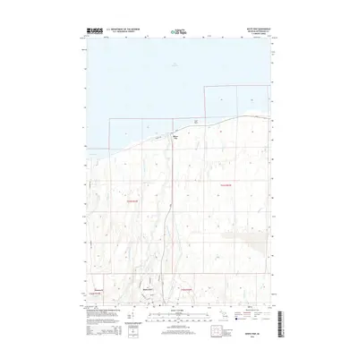 2014 White Pine2014 Print · USGSThe Lake Superior shoreline and the copper country interior come into focus in this mid-2010s study of Ontonagon County. Researchers can trace the town layouts of White Pine and Silver City or locate landmarks like Bonanza Falls and Nonesuch.
 - 2014 Map of Bergland NE, 2014 Print
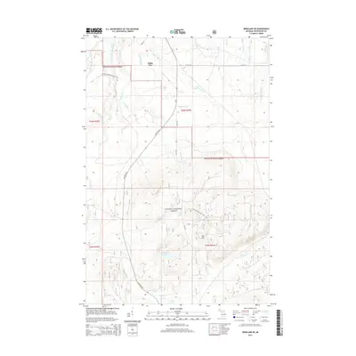 2014 Bergland NE2014 Print · USGSOntonagon County's deep woods and highland terrain are captured here in the early twenty-first century. Outdoor historians and researchers can trace the N Country National Scenic Trail past Little Trap Falls and through the Trap Hills.
 - 2014 Map of Aldridge Creek, 2014 Print
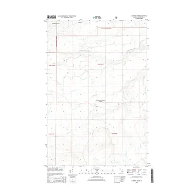 2014 Aldridge Creek2014 Print · USGSThe northern wilderness of Michigan's Upper Peninsula is shown here during the early twenty-first century as part of the Ottawa National Forest. Researchers and outdoor enthusiasts can trace the N Country National Scenic Trail and locate remote natural landmarks like Deer Creek Falls and Rapid River Falls.
 - 2014 Map of Matchwood NW, 2014 Print
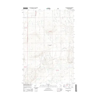 2014 Matchwood NW2014 Print · USGSOntonagon County's timber and river lands are documented here in the early twenty-first century. Researchers can locate the Norwich Cem and trace the paths of the N Country National Scenic Trail near Cascade Falls.
 - 2014 Map of Merriweather, 2014 Print
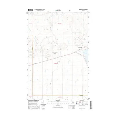 2014 Merriweather2014 Print · USGSThe northern shores of Lake Gogebic and the village of Merriweather are captured here in the early twenty-first century. Researchers can trace historical routes through the Ottawa National Forest along the Ethelwood Grade and the Pony Trail.
 - 2014 Map of Government Peak, 2014 Print
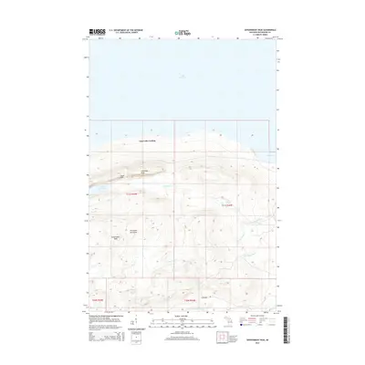 2014 Government Peak2014 Print · USGSUpper Peninsula coastal ridges meet the Lake Superior shoreline in this modern survey of the Porcupine Mountains. Researchers can trace the drainages of the Union River and Little Iron River or locate landmarks like Lake of the Clouds and Carp Lake Landing.
 - 2017 Map of Carp River West, 2017 Print
 2017 Carp River West2017 Print · USGSThe Lake Superior shoreline in the western Upper Peninsula is captured here in the years before the present decade. Researchers and hikers can trace the paths of the Little Carp River to Bathtub Falls and Traders Falls, or locate the Toledo Cr drainage.
 - 2017 Map of Merriweather, 2017 Print
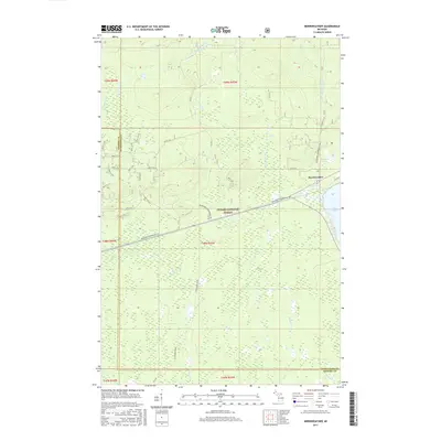 2017 Merriweather2017 Print · USGSMerriweather and the northern shores of Lake Gogebic are captured here in 2017, surrounded by the deep woods of the Ottawa National Forest. Modern researchers can trace the historic Ethelwood Grade, the route of Old M 28, and the many forest service roads that crisscross the region.
Showing maps 1-25 of 56
Top cities near Carp Lake Township
Top neighborhoods of Carp Lake Township
Frequently asked questions
- What are the different types of historical maps available for Carp Lake Township?
- What is the oldest map of Carp Lake Township?
- Where can I purchase historical maps of Carp Lake Township for my home or office?
- Where can I download high-res historical maps of Carp Lake Township?
- Are there historical topographic maps available for Carp Lake Township?
- Is there historical aerial imagery available for Carp Lake Township?
- Where are historical maps of Carp Lake Township sourced from?