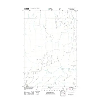
2011 Map of Matchwood NW
USGS Topo · Published 2011About this map
Norwich Cemetery stands as a focal point for local history in this portion of Matchwood Township, situated near the winding course of the West Branch Ontonagon River. The landscape is defined by a dense network of waterways, including the Cranberry River, Little Cranberry River, and Floodwood River, which converge and drain the timberlands of Ontonagon County. The prominence of Forest Rd 630 and Forest Rd 400 indicates a geography heavily managed for forest resources, providing access to landmarks like the Norwich Lookout Tower and the natural drop of Cascade Falls on Cascade Creek. This survey captures the area at a time when traditional land use and conservation infrastructure, such as fire lookouts and named forest roads, remained central to the region's identity.
Find a feature on this map
23 named features on this map. Tap any name to fly to it.
Don’t see what you’re looking for? This feature index may not catch every label — zoom into the map to look around manually.
Map Details
Editions of this 2011 Matchwood NW Map
This is the sole edition of this map. No revisions or reprints were ever made.
Other maps of this area

1949 · Matchwood NW
USGS Topo · 1:24,000

1949 · White Pine
USGS Topo · 1:24,000

1949 · Bergland NE
USGS Topo · 1:24,000

1955 · Ontonagon
USGS Topo · 1:62,500

1956 · Bergland NE
USGS Topo · 1:24,000

1956 · Bergland
USGS Topo · 1:62,500

1956 · White Pine
USGS Topo · 1:24,000

1956 · Matchwood NW
USGS Topo · 1:24,000

1956 · White Pine
USGS Topo · 1:62,500

1956 · Matchwood
USGS Topo · 1:62,500