Old Maps of Carp Lake Township, Michigan for Hiking & Exploration
Hike through history with 86 historic maps of Carp Lake Township. Explore old trails, ghost towns, and forgotten backroads — perfect for outdoor adventurers and local explorers.
- Rediscover forgotten places: Map out old mining camps, roads, and footpaths that no longer exist on modern maps.
- Layer with modern tools: Combine with LiDAR or satellite views to plan hikes through historical terrain.
- Made for exploration: Popular among hikers, overlanders, and local history lovers.
Use these maps to find adventure and explore the hidden past of Carp Lake Township.
Carp Lake Township, MI maps
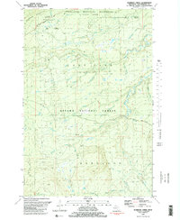
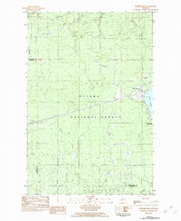
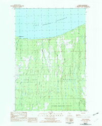
(86)- 1949 Map of Matchwood NW
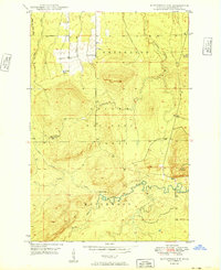 1949 Matchwood NW1949 Print · USGSUpper Peninsula timberlands and river valleys are captured here in the late 1940s as the forest recovered from the early logging era. Local historians can trace the remote Mac Intosh Cabin, locate the Norwich Lookout Tower, and find the hidden Cascade Falls.2 unique versions available
 - 1949 Map of White Pine
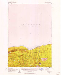
 1949 White Pine1949 Print · USGSThe Ontonagon County shoreline and Upper Peninsula timberlands are documented here in the late forties. Researchers can trace early mining and logging outposts like Silver City, None Such, and Sterling Camp near the edge of Porcupine Mountain State Park.2 unique versions available
 - 1949 Map of Bergland NE
 1949 Bergland NE1949 Print · USGSOntonagon County copper country is surveyed here in the late 1940s, showing the intersection of heavy industry and protected wilderness. Researchers can locate the White Pine Mine, the Bergland Lookout Tower, and remote camps like Hoffman Camp.
 - 1955 Map of Ontonagon, 1956 Print
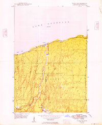
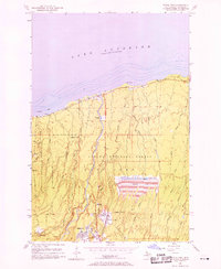
 1955 Ontonagon1956 Print · USGSThe Lake Superior shoreline and the Ontonagon River mouth define this mid-century look at Michigan's Copper Country. Trace old transport routes and industry at Wood Spur, locate the Lighthouse, or find family names near Riverside Cem.2 unique versions available
 - 1956 Map of Carp River, 1957 Print
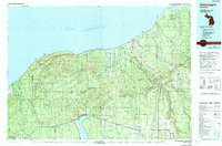
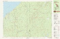
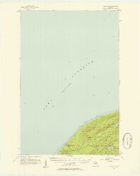 1956 Carp River1957 Print · USGSThe Upper Peninsula shoreline meets the high ridges of the western Gogebic Range in the mid-1950s. Trace old mining sites like the LaFayette Mine and backcountry landmarks including Lake of the Clouds, Mirror Lake, and Lone Rock.4 unique versions available
 - 1956 Map of Bergland NE, 1957 Print
 1956 Bergland NE1957 Print · USGSOntonagon County in the mid-fifties is seen here during a period of active copper mining and forest management. Researchers can trace the industrial footprint of the White Pine Mine, the Bergland Lookout Tower, and the local Old Railroad Grade.2 unique versions available
 - 1956 Map of Bergland, 1957 Print
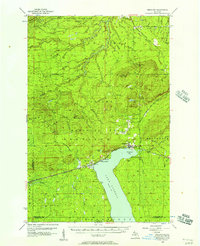 1956 Bergland1957 Print · USGSUpper Peninsula timber and copper country come into focus in the mid-fifties as the railroad meets the shores of Lake Gogebic. Researchers can trace the rail sidings near Bergland, the workings of the White Pine Mine, and remote landmarks like Krobath Cabin.3 unique versions available
 - 1956 Map of Thomaston, 1957 Print
 1956 Thomaston1957 Print · USGSThe Upper Peninsula wilderness in the mid-fifties is captured here, showing the heavy industrial influence of the Chicago and North Western railroad. Researchers can trace the timber-era rail sidings at Tula and Manley Siding or locate the Underwood Lookout Tower.4 unique versions available
 - 1956 Map of White Pine, 1958 Print
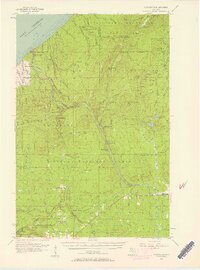
 1956 White Pine1958 Print · USGSThe copper-rich shores of Lake Superior are shown here during a period of significant industrial activity in the mid-1950s. You can trace the extensive operations at the White Pine Mine, locate the historic settlement of Nonesuch, and follow the D S S & A rail line through the Ottawa National Forest.3 unique versions available
 - 1956 Map of Matchwood NW, 1958 Print
 1956 Matchwood NW1958 Print · USGSThe Upper Peninsula wilderness of the mid-fifties is captured here, showing the intersection of heavy industry and the Ottawa National Forest. Researchers can locate the Norwich Mine and trace the path of an Old Railroad Grade.3 unique versions available
 - 1956 Map of White Pine, 1958 Print
 1956 White Pine1958 Print · USGSCopper mining and rugged shoreline topography define the Ontonagon coast in the mid-fifties. Researchers can trace industrial developments like the White Pine Mine and Tailings Pond alongside landmarks like Lake of the Clouds.3 unique versions available
 - 1956 Map of Matchwood, 1958 Print
 1956 Matchwood1958 Print · USGSOntonagon County thrived as a railroad and timber hub in the mid-fifties, centered around the Duluth South Shore and Atlantic line. Local historians and genealogists can trace the settlements of Topaz and Ewen, locate the Norwich Mine, and find family sites near the Ewen Cem.2 unique versions available
 - 1958 Map of Iron River, 1968 Print
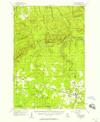
 1958 Iron River1968 Print · USGSThe Upper Peninsula in the late fifties is captured here as a landscape of timber, iron, and rail. Genealogists and historians can trace rail stops like Mass Station or explore the coastlines of Lake Gogebic and Keweenaw Bay.3 unique versions available
 - 1960 Map of Iron River
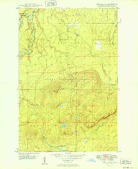
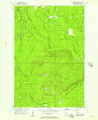
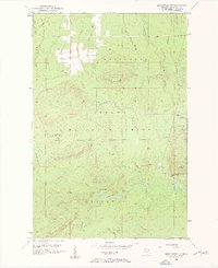
 1960 Iron River1960 Print · USGSThe Upper Peninsula’s western reaches are shown in the late fifties, featuring the industrial infrastructure of the Copper Country and the vast Ottawa National Forest. Researchers can trace the rail lines of the Milwaukee Road through settlements like Bruce Crossing and the White Pine Mine.
 - 1961 Map of Iron River
 1961 Iron River1961 Print · USGSThe Upper Peninsula and northern Wisconsin are shown here in the early 1960s, a landscape defined by the iron range and vast timberlands. Researchers can trace the legacy of mining and rail transport through Caspian, the Lac Du Flambeau Indian Reservation, and the Milwaukee Road.
 - 1967 Map of Iron River, 1968 Print
 1967 Iron River1968 Print · USGSThe Upper Peninsula and northern Wisconsin borderlands are shown here in the late sixties, a landscape of deep woods and iron-country rail lines. Genealogists and historians can trace the lakeside settlements of L'Anse and Ontonagon or follow the Soo Line through towns like Michigamme and Nestoria.
 - 1979 Map of Ontonagon, 1991 Print
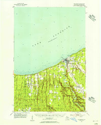
 1979 Ontonagon1991 Print · USGSThe Western Upper Peninsula coastline and copper country are captured here during the late twentieth century. Genealogists and historians can trace the rail-and-river network connecting settlements like White Pine, Lake Mine, and Bruce Crossing.
 - 1980 Map of Carp River, 1981 Print
 1980 Carp River1981 Print · USGSThe northern wilderness of the Upper Peninsula is documented here in the early eighties, centered on the high ridges above Lake Superior. Trace the footpaths of the Porcupine Mountains to find the Old LaFayette Mine and Lake of the Clouds.2 unique versions available
 - 1980 Map of Tiebel Creek, 1981 Print
 1980 Tiebel Creek1981 Print · USGSThe Upper Peninsula wilderness along Lake Superior is captured here during the early eighties, where the Porcupine Mountains meet the coast. Trace the industrial legacy of the Old Railroad Grade or locate remote landmarks like Summit Peak and Beaver Lake.2 unique versions available
 - 1981 Map of Government Peak
 1981 Government Peak1981 Print · USGSOntonagon County's wilderness is captured in the early eighties as it transitions from a mining frontier to a protected state park. Trace old copper works at Carp Lake Mine and Union Mine near landmarks like Lake of the Clouds.2 unique versions available
 - 1981 Map of Thomaston
 1981 Thomaston1981 Print · USGSGogebic County in the early eighties shows a landscape of timber management and mining infrastructure. You can trace the path of the Soo Line through settlements like Thomaston and Connorville or locate natural landmarks such as Gabbro Falls and Minnewawa Falls.
 - 1981 Map of Aldridge Creek
 1981 Aldridge Creek1981 Print · USGSOntonagon County’s wilderness remains largely untouched in the early 1980s, showcasing the intersection of state and national forest lands. Local historians can trace the White Pine Extension Mine and remote waterways like Aldridge Creek or Sleepy Creek.2 unique versions available
 - 1982 Map of Merriweather
 1982 Merriweather1982 Print · USGSThe northern shores of Lake Gogebic are captured here in the early eighties, showcasing the community of Merriweather and its surrounding timberlands. Local historians can trace the lakeside development at Ontonagon County Park and inland features like Haskin Rapid and the Pipeline.
 - 1982 Map of Green, 1983 Print
 1982 Green1983 Print · USGSOntonagon County’s shoreline and timbered interior are captured here in the early eighties, where the settlement of Green meets Lake Superior. Genealogists and industrial historians can trace an Old RR Grade, locate the local Cem, or study the drainage of the Cranberry River.
 - 1994 Map of Carp River, 2000 Print
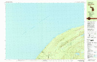
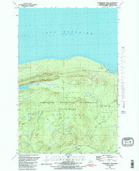
 1994 Carp River2000 Print · USGSThe Lake Superior shoreline and the high ridges of the Ontonagon wilderness are documented here in the mid-nineties. Researchers can locate remote industrial sites like the Old LaFayette Mine or trace the backcountry paths to Traders Falls and Mirror Lake.
Showing maps 1-25 of 86
Top cities near Carp Lake Township
Top neighborhoods of Carp Lake Township
Frequently asked questions
- What are the different types of historical maps available for Carp Lake Township?
- What is the oldest map of Carp Lake Township?
- Where can I purchase historical maps of Carp Lake Township for my home or office?
- Where can I download high-res historical maps of Carp Lake Township?
- Are there historical topographic maps available for Carp Lake Township?
- Is there historical aerial imagery available for Carp Lake Township?
- Where are historical maps of Carp Lake Township sourced from?