2010s Maps of Seney Township, Michigan
Explore 48 historic maps of Seney Township from the 2010s. These maps offer a rare glimpse into what life looked like during the 2010s — showing old roads, neighborhoods, homes, and landmarks that have changed or disappeared over time.
Whether you're researching your family's past, planning a metal detecting trip, or studying how Seney Township's landscape evolved across the 2010s, these high-resolution maps are a powerful tool for exploring the history of this region.
- Focus on a specific era: All maps on this page are from the 2010s, giving you a focused view of this time period.
- See what’s changed: Compare century-old streets, trails, and buildings to today's modern landscape using overlays and satellite layers.
- Research with precision: Use these maps for genealogy, historical research, land use analysis, or educational projects.
- View, download, or print: Maps are fully viewable online in high resolution, and can be downloaded or printed for your own records.
Start exploring Seney Township's history through authentic maps from the 2010s. This is your window into the past.
Seney Township, MI maps
(48)- 2011 Map of Driggs Lake SE, 2011 Print
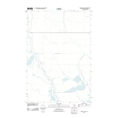 2011 Driggs Lake SE2011 Print · USGSSchoolcraft County in the early twenty-first century reveals a landscape defined by water engineering and the Upper Peninsula wilderness. Trace the complex network of drainage ditches and pools, from Riverside Dike to the Driggs River and Sweeney Pool.
 - 2011 Map of Seney, 2011 Print
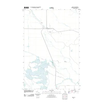 2011 Seney2011 Print · USGSSeney and the surrounding wetlands of Schoolcraft County are captured here during the early twenty-first century. Researchers can trace the water network from the Fox River to the series of pools including G Pool, or locate landmarks like Boot Hill Cemetery.
 - 2011 Map of Walsh, 2011 Print
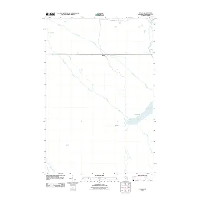 2011 Walsh2011 Print · USGSSchoolcraft County in the early twenty-first century reveals a landscape defined by its waterways and timber-access routes. Researchers can trace the path of the Walsh Grade and locate features like the C-Three Pool, Spur Ditch, and the settlement of Walsh.
 - 2011 Map of Au Sable Point SW, 2011 Print
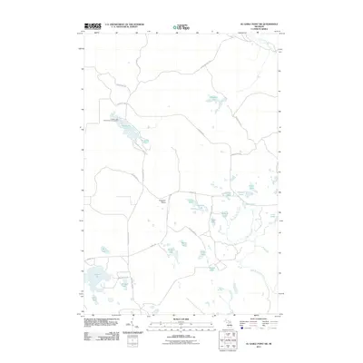 2011 Au Sable Point SW2011 Print · USGSHiawatha Township is shown here in the early twenty-first century as a landscape of interconnected waterways and forest trails. Researchers can trace the routes of the Baker Grade and Au Sable Point Trl past Kingston Lake and the Kingston Plains.
 - 2011 Map of Driggs Lake, 2011 Print
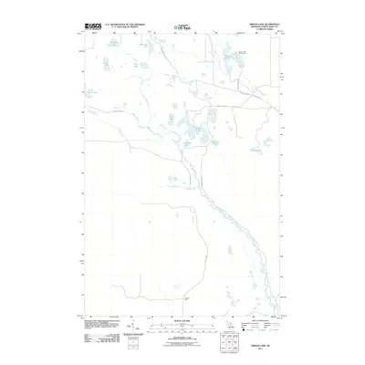 2011 Driggs Lake2011 Print · USGSUpper Peninsula wilderness in Hiawatha Township is shown here in the early twenty-first century, centered on the winding Driggs River. Local historians and outdoorsmen can trace remote access points like Walsh Grade to quiet sites including Howards Camp and Stanley Lake.
 - 2011 Map of Seney NW, 2011 Print
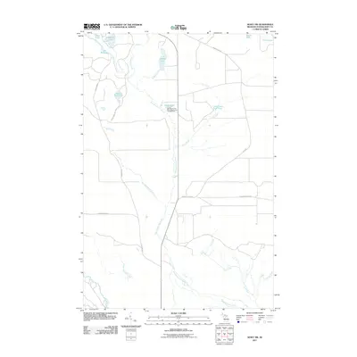 2011 Seney NW2011 Print · USGSSchoolcraft County, Michigan, is seen here in the early 2000s as a haven for outdoorsmen and conservationists. Researchers can trace the intricate waterways of the East Branch Fox River and identify specific landmarks like Kings Pond and The Reservoir.
 - 2011 Map of Au Sable Point SE, 2011 Print
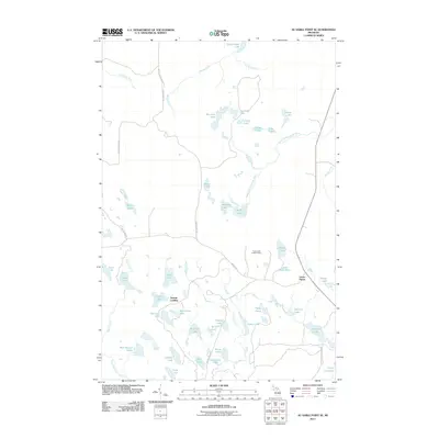 2011 Au Sable Point SE2011 Print · USGSUpper Peninsula lake country near the Lake Superior shore comes into focus in the early twenty-first century. Researchers can trace forest access routes like Adams Trl to reach remote points like Gypsy Lake Lookout Tower and the settlement at Green Haven.
 - 2011 Map of Sunken Lake, 2011 Print
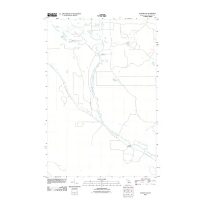 2011 Sunken Lake2011 Print · USGSThe Fox River watershed in the Upper Peninsula was well-established by the early twenty-first century as a critical riparian corridor. Researchers can trace the winding paths of the Little Fox River and West Branch Fox River or locate the Fox River Campground.
 - 2011 Map of Nawakwa Lake, 2011 Print
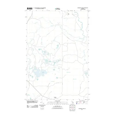 2011 Nawakwa Lake2011 Print · USGSUpper Peninsula timberlands and glacial lakes are shown here in detail during the early 2000s. Genealogists and outdoorsmen can trace remote access routes like Seney Rd and locate specific water bodies such as Nawakwa Lake and Lavender Corner.
 - 2011 Map of Tahquamenon Lakes, 2011 Print
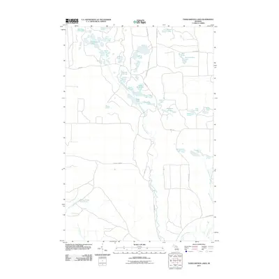 2011 Tahquamenon Lakes2011 Print · USGSIn the Upper Peninsula's forested interior during the early 21st century, this map shows a region shaped by the Tahquamenon River and its surrounding wetlands. Genealogists and outdoorsmen can trace routes along Danaher Plains Rd to reach Camp Seven Alke, Belle Lakes, and Devils Hollow Lake.
 - 2011 Map of Grand Marais SE, 2011 Print
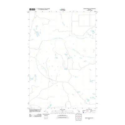 2011 Grand Marais SE2011 Print · USGSUpper Peninsula wilderness near Columbus Township is defined by the winding North Branch Two Hearted River and West Branch Two Hearted River in the early 2000s. Trace the remote network of forest roads and lakes like Potters Lake and Barfield Lakes.
 - 2011 Map of Hardwood Island, 2011 Print
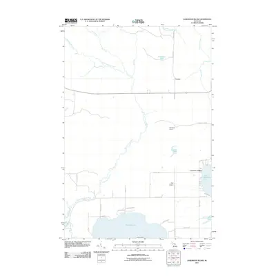 2011 Hardwood Island2011 Print · USGSUpper Michigan's lake country is captured here during the early twenty-first century, showing the complex hydrology of the Fox and Tahquamenon headwaters. Researchers can locate the West Lakefield Cemetery and trace old shoreline access at Carpenter Landing or Cummings.
 - 2014 Map of Sunken Lake, 2014 Print
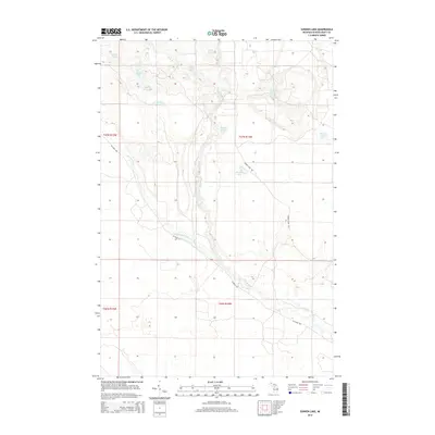 2014 Sunken Lake2014 Print · USGSThe remote forest and wetlands of Schoolcraft County are documented here in the early 2010s, showing a landscape defined by glacial lakes and winding rivers. Trace the intricate waterways of the Fox River and West Br Fox River, or locate isolated spots like Sunken Lake and Section Seven Lake.
 - 2014 Map of Walsh, 2014 Print
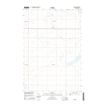 2014 Walsh2014 Print · USGSUpper Peninsula wetlands and timberlands surround the crossroads of Walsh during the early twenty-first century. Genealogists and local historians can trace the paths of the Walsh Grade and water features like C-Three Pool and the Driggs River.
 - 2014 Map of Driggs Lake, 2014 Print
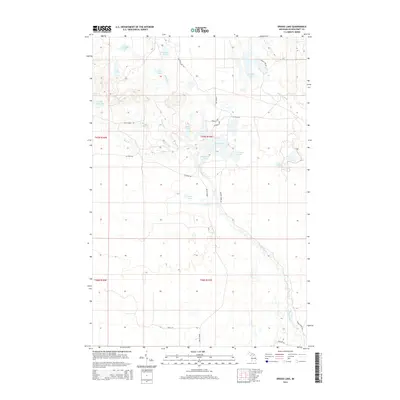 2014 Driggs Lake2014 Print · USGSUpper Peninsula timberlands and river basins are preserved in this 2010s study of Schoolcraft County. Genealogists and outdoorsmen can trace the paths of the Driggs River, the Walsh Grade, and numerous interior waters like Mahoney Lake.
 - 2014 Map of Au Sable Point SW, 2014 Print
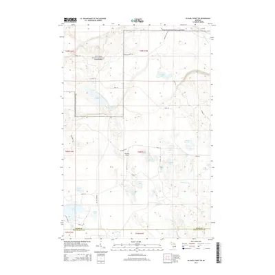 2014 Au Sable Point SW2014 Print · USGSUpper Peninsula lake country and forest lands are shown in the mid-2010s, centered on the transition between the coastal lakeshore and the interior plains. Trace the headwaters of the Little Fox River and explore the remote shores of Kingston Lake and Pelican Lake.
 - 2014 Map of Au Sable Point SE, 2014 Print
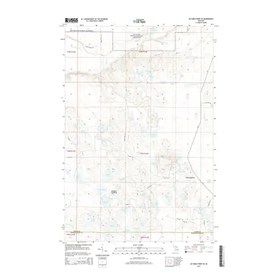 2014 Au Sable Point SE2014 Print · USGSUpper Michigan's forested lake country is captured here during the mid-2010s, showing the transition from the Pictured Rocks coast to the deep interior woods. Researchers can locate the seasonal community at Sunrise Landing, trace the winding Fox River, and find remote water bodies like Gopher Lake and County Line Lake.
 - 2014 Map of Driggs Lake SE, 2014 Print
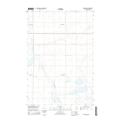 2014 Driggs Lake SE2014 Print · USGSThe northern reaches of the Upper Peninsula wetland systems are preserved here in the early twenty-first century. Hydrologists and local researchers can trace the intricate water management system of the Seney Wildlife Refuge, including the Driggs River and the Unit Number One Diversion Ditch.
 - 2014 Map of Seney NW, 2014 Print
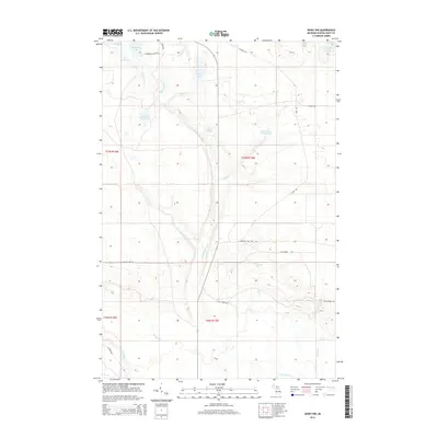 2014 Seney NW2014 Print · USGSUpper Michigan's wilderness comes to life in the early 2010s, showcasing a network of remote lakes and timber roads. Trace family history or natural features across Dutch Fred Lake, the East Br Fox River, and Danaher Plains Rd.
 - 2014 Map of Grand Marais SE, 2014 Print
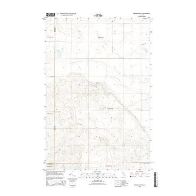 2014 Grand Marais SE2014 Print · USGSLuce County’s lake-studded wilderness is captured here in the early twenty-first century, showing a remote landscape shaped by the Two Hearted River system. Trace the winding paths of Carlson Camp Rd and find secluded water bodies like Potters Lake and Dillingham Lake.
 - 2014 Map of Tahquamenon Lakes, 2014 Print
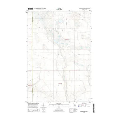 2014 Tahquamenon Lakes2014 Print · USGSUpper Peninsula wilderness at the start of the 2010s reveals a complex landscape of glacial kettle lakes and river wetlands. Researchers can trace the winding Tahquamenon River and locate remote sites like Camp Seven Alke and Bennet Springs.
 - 2014 Map of Nawakwa Lake, 2014 Print
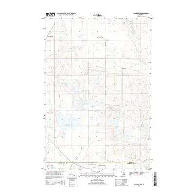 2014 Nawakwa Lake2014 Print · USGSUpper Peninsula wilderness near the Schoolcraft and Alger county line is captured here in the early twenty-first century. Researchers can trace forest tracks like Old Seney Rd and locate remote water bodies such as Nawakwa Lake and Lavender Corner.
 - 2014 Map of Hardwood Island, 2014 Print
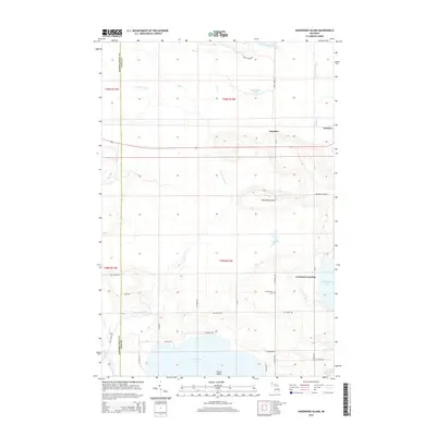 2014 Hardwood Island2014 Print · USGSUpper Michigan's lake-and-river country comes into focus in this early twenty-first-century survey of the Schoolcraft and Luce County line. Genealogists and local historians can trace the lakeside site of Carpenter Landing, locate the W Lakefield Cem, and follow the old routes of Danaher and Laketon.
 - 2014 Map of Seney, 2014 Print
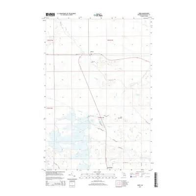 2014 Seney2014 Print · USGSThe Upper Peninsula marshes near Seney and Germfask appear here in the early twenty-first century, showing a landscape defined by water management and conservation. Trace the vast pool systems of the Seney Wildlife Refuge and find local landmarks like Boot Hill Cem.
 - 2017 Map of Seney, 2017 Print
 2017 Seney2017 Print · USGSThe Upper Peninsula wilderness around Seney and Germfask is captured here during a period of modern conservation and recreation. Researchers can trace the massive pool system of the Seney National Wildlife Refuge and locate historic sites like Boot Hill Cem.
Showing maps 1-25 of 48
Top cities near Seney Township
Top neighborhoods of Seney Township
Frequently asked questions
- What are the different types of historical maps available for Seney Township?
- What is the oldest map of Seney Township?
- Where can I purchase historical maps of Seney Township for my home or office?
- Where can I download high-res historical maps of Seney Township?
- Are there historical topographic maps available for Seney Township?
- Is there historical aerial imagery available for Seney Township?
- Where are historical maps of Seney Township sourced from?