Old Maps of Osakis, Minnesota for Academic Research
Study the evolution of Osakis with 22 high-resolution historic maps. Whether you're teaching, researching, or modeling changes in land use, these maps provide essential visual documentation of urban, environmental, and geographic change.
- Analyze long-term change: Track patterns in development, transportation, and natural features.
- Ideal for environmental or urban studies: Support academic projects with primary historical map data.
- Use in the classroom or lab: Educators and researchers rely on these maps to bring historical context to life.
These maps are a powerful tool for teaching, research, and visualizing how Osakis has changed over the decades.
Osakis, MN maps
(22)- 1953 Map of Saint Cloud, 1968 Print
 1953 Saint Cloud1968 Print · USGSCentral Minnesota's lake country and the Mississippi River valley are caught in a period of steady mid-century growth. Researchers can trace historic rail lines, old granite works, and local landmarks like St. Johns University, Camp Ripley, and the shores of Lake Minnewaska.3 unique versions available
 - 1957 Map of Saint Cloud
 1957 Saint Cloud1957 Print · USGSCentral Minnesota's lake country and rail corridors are meticulously detailed in the mid-1950s. Genealogists and researchers can trace the growth of towns like Alexandria, Willmar, and Saint Cloud along the Great Northern railroad line.
 - 1958 Map of Saint Cloud
 1958 Saint Cloud1958 Print · USGSCentral Minnesota in the mid-1950s shows a landscape of growing regional hubs and hundreds of glacial lakes connected by an extensive rail network. Genealogists and historians can trace the early footprints of Saint Cloud, Alexandria, and Willmar along the Great Northern Railway.
 - 1966 Map of West Union, 1967 Print
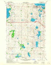
 1966 West Union1967 Print · USGSThe West Union area was a patchwork of prairie lakes and rail-side settlements in the mid-sixties. Genealogists and local historians can trace rural school districts like School No 2331 and quiet landmarks such as Elim Ch or Silver Creek Cem.
 - 1966 Map of Osakis, 1967 Print
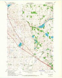
 1966 Osakis1967 Print · USGSThe lakeside community of Osakis thrived as a transportation and recreation hub in the mid-sixties. Researchers can trace the town's layout near Lake Osakis, locating St Agnes Sch, the Great Northern rail line, and numerous rural burial grounds like English Grove Cem.2 unique versions available
 - 1966 Map of Lake Osakis East, 1967 Print
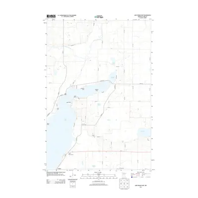
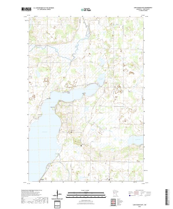
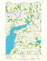 1966 Lake Osakis East1967 Print · USGSCentral Minnesota's lake country is captured here in the mid-sixties, showing the rural townships of Todd County during a period of steady agricultural life. Genealogists can locate family landmarks such as Stallcop Cem, School No 2347, and the Leslie Ch nestled between Lake Osakis and Maple Lake.
 - 1986 Map of Lake Minnewaska
 1986 Lake Minnewaska1986 Print · USGSWest-central Minnesota's lake country is captured here in the mid-eighties, showing a landscape of intense glacial activity and growing regional hubs. Genealogists and researchers can trace the rail lines of the Soo Line and Burlington Northern through towns like Glenwood, Starbuck, and Osakis.2 unique versions available
 - 2010 Map of Lake Osakis East, 2010 Print
 2010 Lake Osakis East2010 Print · USGSCovers Osakis, including Todd County, United States, and other nearby areas
 - 2010 Map of Osakis, 2010 Print
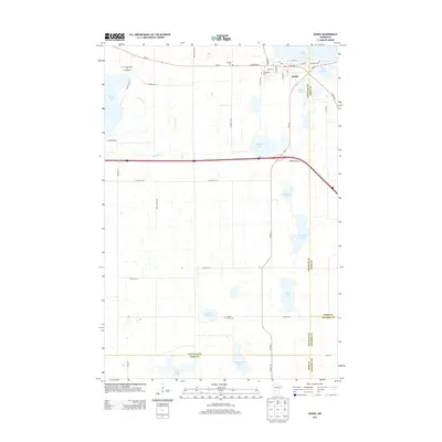
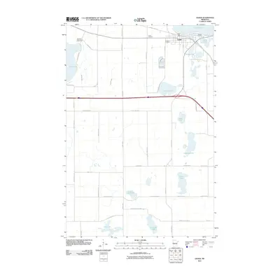 2010 Osakis2010 Print · USGSCovers Osakis, including Stearns County, Douglas County, and other nearby areas
 - 2010 Map of West Union, 2010 Print
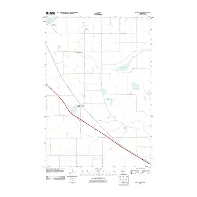 2010 West Union2010 Print · USGSCovers Osakis, including West Union, Stearns County, and other nearby areas
 - 2013 Map of West Union, 2013 Print
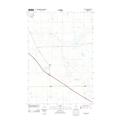 2013 West Union2013 Print · USGSCovers Osakis, including West Union, Stearns County, and other nearby areas
 - 2013 Map of Lake Osakis East, 2013 Print
 2013 Lake Osakis East2013 Print · USGSCovers Osakis, including Todd County, United States, and other nearby areas
 - 2013 Map of Osakis, 2013 Print
 2013 Osakis2013 Print · USGSCovers Osakis, including Stearns County, Douglas County, and other nearby areas
 - 2016 Map of Lake Osakis East, 2016 Print
 2016 Lake Osakis East2016 Print · USGSCovers Osakis, including Todd County, United States, and other nearby areas
 - 2016 Map of West Union, 2016 Print
 2016 West Union2016 Print · USGSCovers Osakis, including West Union, Stearns County, and other nearby areas
 - 2016 Map of Osakis, 2016 Print
 2016 Osakis2016 Print · USGSCovers Osakis, including Stearns County, Douglas County, and other nearby areas
 - 2019 Map of Osakis, 2019 Print
 2019 Osakis2019 Print · USGSCovers Osakis, including Stearns County, Douglas County, and other nearby areas
 - 2019 Map of Lake Osakis East, 2019 Print
 2019 Lake Osakis East2019 Print · USGSCovers Osakis, including Todd County, United States, and other nearby areas
 - 2019 Map of West Union, 2019 Print
 2019 West Union2019 Print · USGSCovers Osakis, including West Union, Stearns County, and other nearby areas
 - 2022 Map of Lake Osakis East, 2022 Print
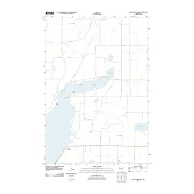
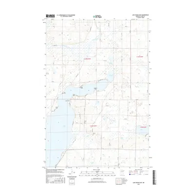
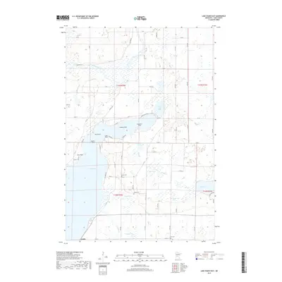
 2022 Lake Osakis East2022 Print · USGSTodd County's lake-rich landscape is captured here in the early 2020s, centered on the diverse shorelines of eastern Lake Osakis and the town of Osakis. Researchers can trace local history through family-named landmarks like Caughren Point and rural burial sites such as Gordon Cem and Stallcop Cem.
 - 2022 Map of Osakis, 2022 Print
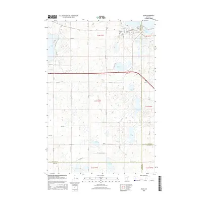
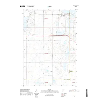
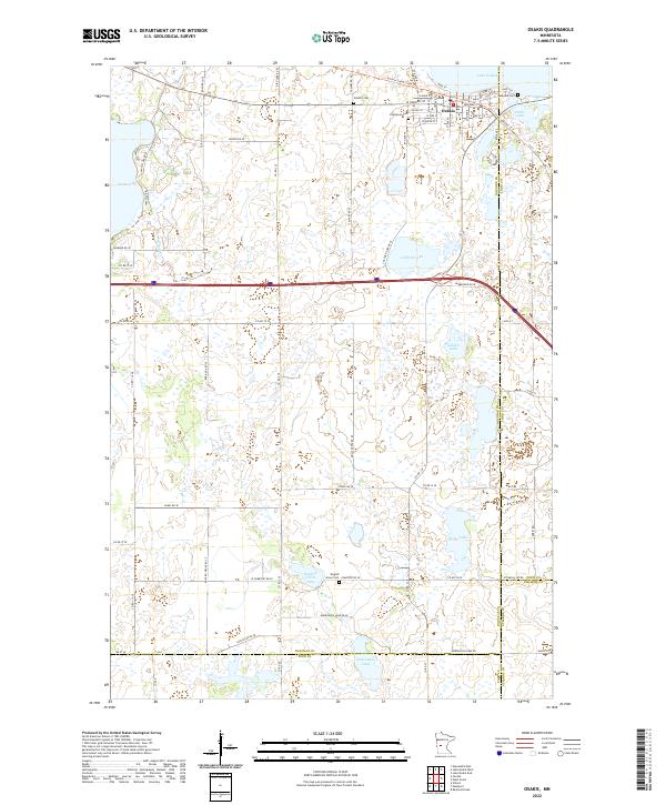 2022 Osakis2022 Print · USGSThe town of Osakis and its namesake Lake Osakis are shown here at the turn of the 21st century. Genealogists and local historians can trace the town's street grid and several burial grounds, including Evergreen Cem and English Grove Cem.
 - 2022 Map of West Union, 2022 Print
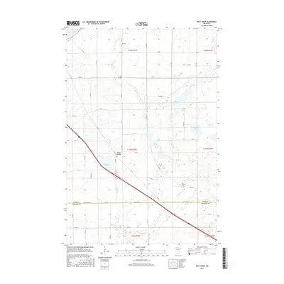
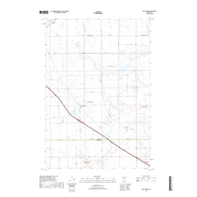
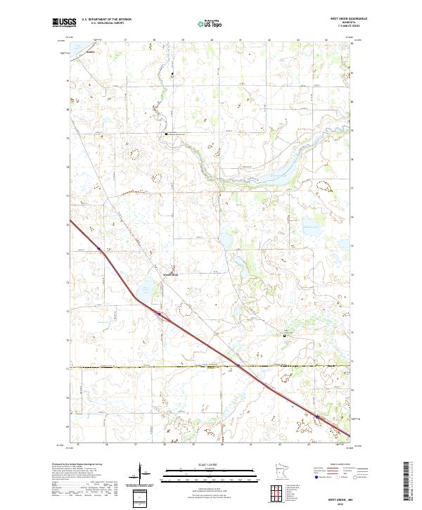 2022 West Union2022 Print · USGSTodd and Stearns Counties are documented in the early twenty-first century, showing the intersection of modern transit and rural tradition. Genealogists can locate Sauk Valley Lutheran Church Cem and Elim Cem or trace the Sauk River and West Union Lake.
End of results
Showing maps 1-22 of 22
Top cities near Osakis
- Alexandria historical maps
- Sauk Centre historical maps
- Glenwood historical maps
- Little Sauk historical maps
- Belle River historical maps
- Carlos historical maps
See more
Frequently asked questions
- What are the different types of historical maps available for Osakis?
- What is the oldest map of Osakis?
- Where can I purchase historical maps of Osakis for my home or office?
- Where can I download high-res historical maps of Osakis?
- Are there historical topographic maps available for Osakis?
- Is there historical aerial imagery available for Osakis?
- Where are historical maps of Osakis sourced from?