2000s (21st Century) Maps of Worthington, Minnesota
Explore 20 historic maps of Worthington from the 2000s (21st Century). These maps offer a rare glimpse into what life looked like during the 2000s — showing old roads, neighborhoods, homes, and landmarks that have changed or disappeared over time.
Whether you're researching your family's past, planning a metal detecting trip, or studying how Worthington's landscape evolved across the 2000s, these high-resolution maps are a powerful tool for exploring the history of this region.
- Focus on a specific era: All maps on this page are from the 2000s, giving you a focused view of this time period.
- See what’s changed: Compare century-old streets, trails, and buildings to today's modern landscape using overlays and satellite layers.
- Research with precision: Use these maps for genealogy, historical research, land use analysis, or educational projects.
- View, download, or print: Maps are fully viewable online in high resolution, and can be downloaded or printed for your own records.
Start exploring Worthington's history through authentic maps from the 2000s. This is your window into the past.
Worthington, MN maps
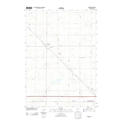
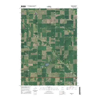
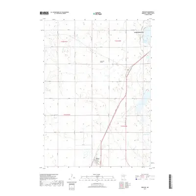
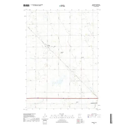
(20)- 2010 Map of Reading, 2010 Print
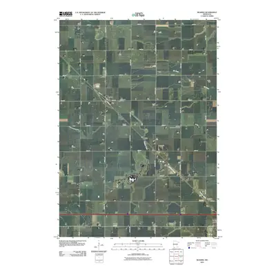 2010 Reading2010 Print · USGSCovers Worthington, including Reading, Nobles County, and other nearby areas
 - 2010 Map of Worthington South, 2010 Print
 2010 Worthington South2010 Print · USGSCovers Worthington, including Nobles County, Osceola County, and other nearby areas
 - 2010 Map of Worthington North, 2010 Print
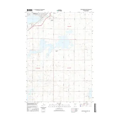
 2010 Worthington North2010 Print · USGSCovers Worthington, including Sungold Heights Mobile Home Park, Nobles County, and other nearby areas
 - 2010 Map of Bigelow, 2010 Print
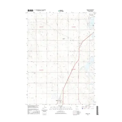
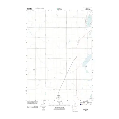 2010 Bigelow2010 Print · USGSCovers Worthington, including Bigelow, Org, and other nearby areas
 - 2013 Map of Reading, 2013 Print
 2013 Reading2013 Print · USGSCovers Worthington, including Reading, Nobles County, and other nearby areas
 - 2013 Map of Worthington North, 2013 Print
 2013 Worthington North2013 Print · USGSCovers Worthington, including Sungold Heights Mobile Home Park, Nobles County, and other nearby areas
 - 2013 Map of Bigelow, 2013 Print
 2013 Bigelow2013 Print · USGSCovers Worthington, including Bigelow, Org, and other nearby areas
 - 2013 Map of Worthington South, 2013 Print
 2013 Worthington South2013 Print · USGSCovers Worthington, including Nobles County, Osceola County, and other nearby areas
 - 2016 Map of Reading, 2016 Print
 2016 Reading2016 Print · USGSCovers Worthington, including Reading, Nobles County, and other nearby areas
 - 2016 Map of Bigelow, 2016 Print
 2016 Bigelow2016 Print · USGSCovers Worthington, including Bigelow, Org, and other nearby areas
 - 2016 Map of Worthington South, 2016 Print
 2016 Worthington South2016 Print · USGSCovers Worthington, including Nobles County, Osceola County, and other nearby areas
 - 2016 Map of Worthington North, 2016 Print
 2016 Worthington North2016 Print · USGSCovers Worthington, including Sungold Heights Mobile Home Park, Nobles County, and other nearby areas
 - 2019 Map of Bigelow, 2019 Print
 2019 Bigelow2019 Print · USGSCovers Worthington, including Bigelow, Org, and other nearby areas
 - 2019 Map of Reading, 2019 Print
 2019 Reading2019 Print · USGSCovers Worthington, including Reading, Nobles County, and other nearby areas
 - 2019 Map of Worthington South, 2019 Print
 2019 Worthington South2019 Print · USGSCovers Worthington, including Nobles County, Osceola County, and other nearby areas
 - 2019 Map of Worthington North, 2019 Print
 2019 Worthington North2019 Print · USGSCovers Worthington, including Sungold Heights Mobile Home Park, Nobles County, and other nearby areas
 - 2022 Map of Reading, 2022 Print
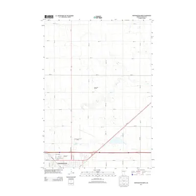
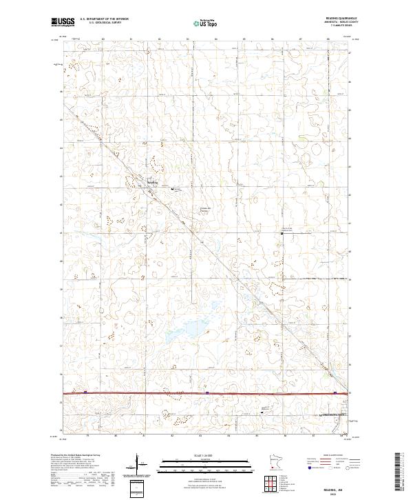 2022 Reading2022 Print · USGSNobles County at the start of the 2020s shows a well-preserved agricultural landscape defined by the Coteau des Prairies. Genealogists and historians can trace local family lineages at Summit Lake Cem, Garden of Memories, and the Church of the Brethren Cem.
 - 2022 Map of Worthington North, 2022 Print
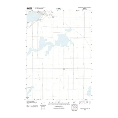
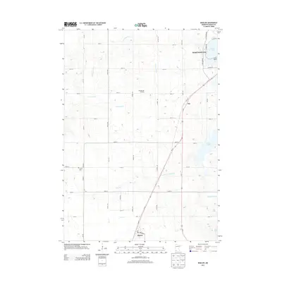
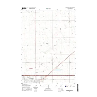
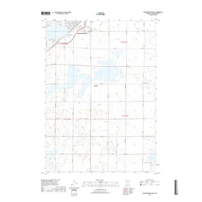
 2022 Worthington North2022 Print · USGSWorthington and the surrounding Nobles County prairie are documented here in the early twenty-first century. Researchers can trace the modern footprint of Worthington and locate key landmarks like the Worthington Municipal Airport and Okabena Cr.
 - 2022 Map of Worthington South, 2022 Print
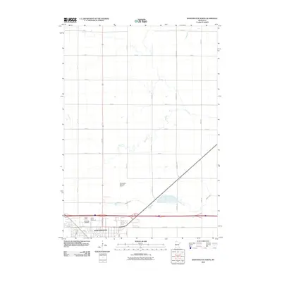
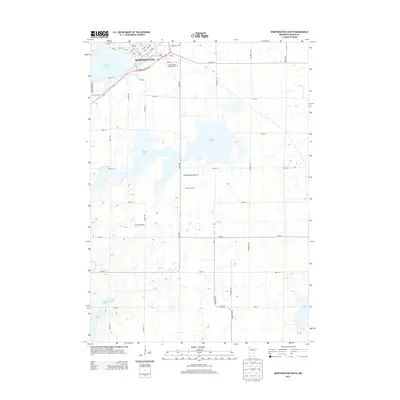
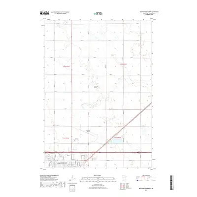
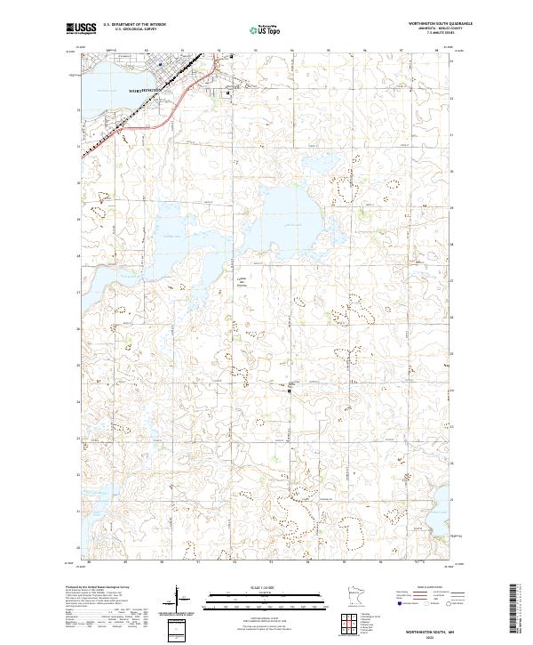 2022 Worthington South2022 Print · USGSThe southern outskirts of Worthington and the surrounding prairie wetlands come into focus in this contemporary survey of Nobles County. Genealogists and local researchers can trace cemetery locations like Saint Marys Cem and follow the path of the Ocheyedan River across the Coteau des Prairies.
 - 2022 Map of Bigelow, 2022 Print
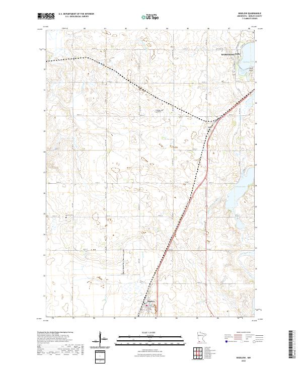 2022 Bigelow2022 Print · USGSNobles County's glacial landscape is documented here in the early 2020s, showing the intersection of prairie hydrology and rural settlement. Genealogists and local historians can locate the historic Ransom Cem and trace the paths of the Ocheyedan River and the town of Bigelow.
End of results
Showing maps 1-20 of 20
Top cities near Worthington
- Sibley historical maps
- Fulda historical maps
- Lake Park historical maps
- Brewster historical maps
- Ocheyedan historical maps
- Round Lake historical maps
See more
Top neighborhoods of Worthington
Frequently asked questions
- What are the different types of historical maps available for Worthington?
- What is the oldest map of Worthington?
- Where can I purchase historical maps of Worthington for my home or office?
- Where can I download high-res historical maps of Worthington?
- Are there historical topographic maps available for Worthington?
- Is there historical aerial imagery available for Worthington?
- Where are historical maps of Worthington sourced from?