Old Maps of Worthington, Minnesota for Genealogy
Trace your family roots with 27 historic maps of Worthington. These high-res maps reveal old neighborhoods, homesites, landmarks, and streets — helping you uncover where your ancestors lived and how the area evolved over time.
- Explore historic neighborhoods: Identify where your relatives may have lived in the 1800s or 1900s.
- Compare maps over time: Trace the changes in streets, buildings, and landmarks for multi-generational research.
- Perfect for genealogy & ancestry research: Used by family historians and researchers to map out lineage and migration.
These maps are an incredible resource for exploring your personal connection to Worthington's past.
Worthington, MN maps
(27)- 1954 Map of Fairmont, 1967 Print
 1954 Fairmont1967 Print · USGSThe prairie landscape of southern Minnesota and northern Iowa comes alive in this mid-century survey of the Coteau des Prairies. Genealogists and historians can trace the rail-connected growth of Fairmont and Blue Earth or locate family roots near St Kilian Ch and Union Slough National Wildlife Refuge.3 unique versions available
 - 1958 Map of Fairmont
 1958 Fairmont1958 Print · USGSThe borderlands of southern Minnesota and northern Iowa come alive in the mid-1950s, showing a landscape defined by glacial lakes and rail-line commerce. Researchers can trace historic landmarks like Lakeside Laboratory, Gridley Station, and the Bancroft Wildlife Refuge across the prairie.
 - 1960 Map of Reading, 1961 Print
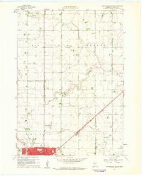
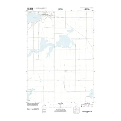
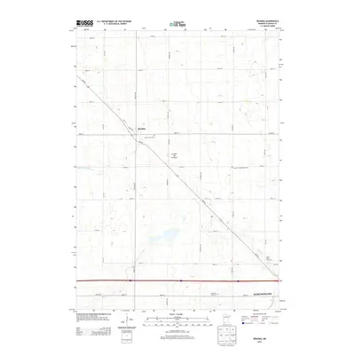
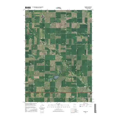
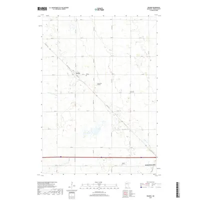
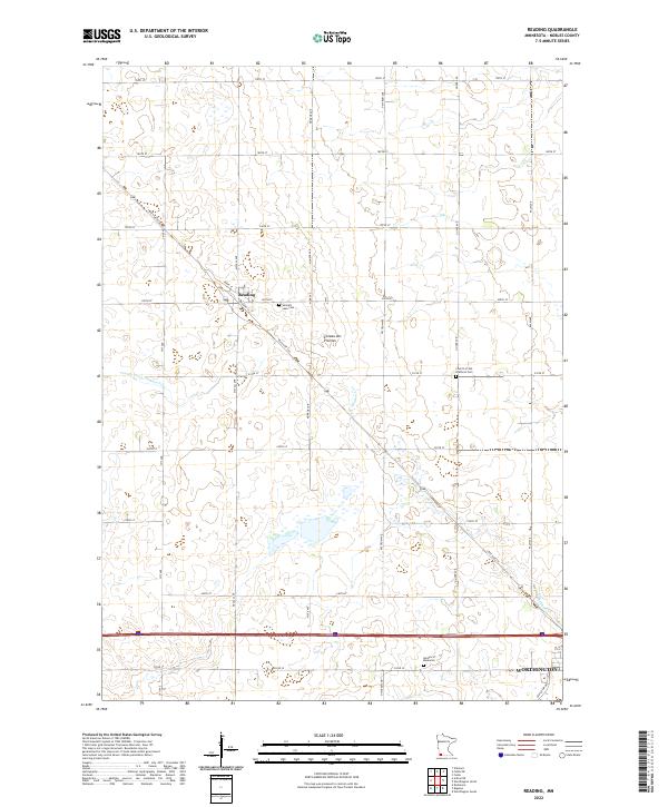
 1960 Reading1961 Print · USGSNobles County farming communities and rail lines are captured here in the early sixties. Researchers can trace family sites near Reading and locate landmarks like Summit Lake Cem or the Brethren Ch along the prairie roads.2 unique versions available
 - 1960 Map of Bigelow, 1961 Print
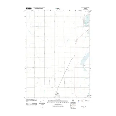
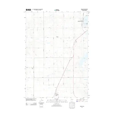
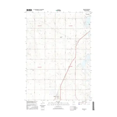
 1960 Bigelow1961 Print · USGSNobles County's southern border at the turn of the 1960s reveals a landscape of prairie farms and vital rail links. Genealogists can locate Ransom Cem and the settlement of Org near the Chicago and North Western railroad.2 unique versions available
 - 1960 Map of Worthington North, 1962 Print
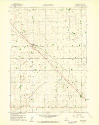
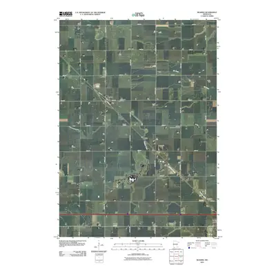
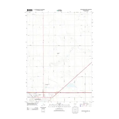
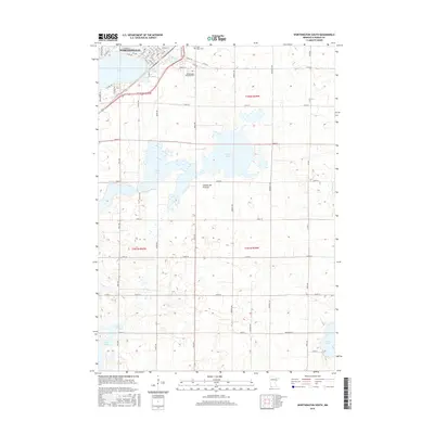
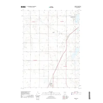
 1960 Worthington North1962 Print · USGSThe northern reaches of Worthington come into focus in the early sixties, showing the town's expansion toward the municipal airport. Genealogists can locate family landmarks such as the Townhall, Christian Sch, and the County Fairground.3 unique versions available
 - 1960 Map of Worthington South, 1962 Print
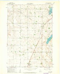
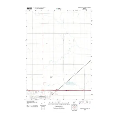
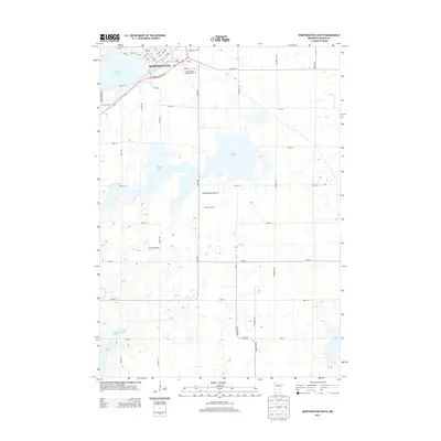
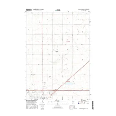
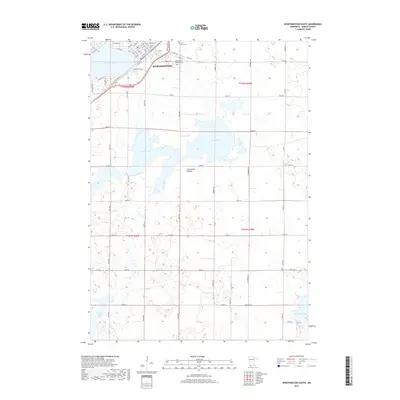
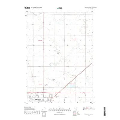
 1960 Worthington South1962 Print · USGSWorthington and the surrounding prairie townships are captured here at the start of the sixties, where rail lines and lakefront parks met rural farmsteads. Researchers can trace the legacy of local congregations and commerce at Indian Lake Ch, St Marys Cem, and the old Drive-in Theater.2 unique versions available
 - 1985 Map of Worthington
 1985 Worthington1985 Print · USGSSouthwestern Minnesota and northwestern Iowa are captured in the mid-1980s, showcasing the high-water mark of the region's agricultural and rail-line infrastructure. Researchers can trace the path of the Chicago and North Western through prairie towns like Adrian, Wilmont, and Lakefield.2 unique versions available
 - 2010 Map of Reading, 2010 Print
 2010 Reading2010 Print · USGSCovers Worthington, including Reading, Nobles County, and other nearby areas
 - 2010 Map of Worthington South, 2010 Print
 2010 Worthington South2010 Print · USGSCovers Worthington, including Nobles County, Osceola County, and other nearby areas
 - 2010 Map of Worthington North, 2010 Print
 2010 Worthington North2010 Print · USGSCovers Worthington, including Sungold Heights Mobile Home Park, Nobles County, and other nearby areas
 - 2010 Map of Bigelow, 2010 Print
 2010 Bigelow2010 Print · USGSCovers Worthington, including Bigelow, Org, and other nearby areas
 - 2013 Map of Reading, 2013 Print
 2013 Reading2013 Print · USGSCovers Worthington, including Reading, Nobles County, and other nearby areas
 - 2013 Map of Worthington North, 2013 Print
 2013 Worthington North2013 Print · USGSCovers Worthington, including Sungold Heights Mobile Home Park, Nobles County, and other nearby areas
 - 2013 Map of Bigelow, 2013 Print
 2013 Bigelow2013 Print · USGSCovers Worthington, including Bigelow, Org, and other nearby areas
 - 2013 Map of Worthington South, 2013 Print
 2013 Worthington South2013 Print · USGSCovers Worthington, including Nobles County, Osceola County, and other nearby areas
 - 2016 Map of Reading, 2016 Print
 2016 Reading2016 Print · USGSCovers Worthington, including Reading, Nobles County, and other nearby areas
 - 2016 Map of Bigelow, 2016 Print
 2016 Bigelow2016 Print · USGSCovers Worthington, including Bigelow, Org, and other nearby areas
 - 2016 Map of Worthington South, 2016 Print
 2016 Worthington South2016 Print · USGSCovers Worthington, including Nobles County, Osceola County, and other nearby areas
 - 2016 Map of Worthington North, 2016 Print
 2016 Worthington North2016 Print · USGSCovers Worthington, including Sungold Heights Mobile Home Park, Nobles County, and other nearby areas
 - 2019 Map of Bigelow, 2019 Print
 2019 Bigelow2019 Print · USGSCovers Worthington, including Bigelow, Org, and other nearby areas
 - 2019 Map of Reading, 2019 Print
 2019 Reading2019 Print · USGSCovers Worthington, including Reading, Nobles County, and other nearby areas
 - 2019 Map of Worthington South, 2019 Print
 2019 Worthington South2019 Print · USGSCovers Worthington, including Nobles County, Osceola County, and other nearby areas
 - 2019 Map of Worthington North, 2019 Print
 2019 Worthington North2019 Print · USGSCovers Worthington, including Sungold Heights Mobile Home Park, Nobles County, and other nearby areas
 - 2022 Map of Reading, 2022 Print
 2022 Reading2022 Print · USGSNobles County at the start of the 2020s shows a well-preserved agricultural landscape defined by the Coteau des Prairies. Genealogists and historians can trace local family lineages at Summit Lake Cem, Garden of Memories, and the Church of the Brethren Cem.
 - 2022 Map of Worthington North, 2022 Print
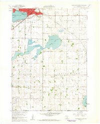
 2022 Worthington North2022 Print · USGSWorthington and the surrounding Nobles County prairie are documented here in the early twenty-first century. Researchers can trace the modern footprint of Worthington and locate key landmarks like the Worthington Municipal Airport and Okabena Cr.
Showing maps 1-25 of 27
Top cities near Worthington
- Sibley historical maps
- Fulda historical maps
- Lake Park historical maps
- Brewster historical maps
- Ocheyedan historical maps
- Round Lake historical maps
See more
Top neighborhoods of Worthington
Frequently asked questions
- What are the different types of historical maps available for Worthington?
- What is the oldest map of Worthington?
- Where can I purchase historical maps of Worthington for my home or office?
- Where can I download high-res historical maps of Worthington?
- Are there historical topographic maps available for Worthington?
- Is there historical aerial imagery available for Worthington?
- Where are historical maps of Worthington sourced from?