2000s (21st Century) Maps of Pope County, Minnesota
Explore 115 historic maps of Pope County from the 2000s (21st Century). These maps offer a rare glimpse into what life looked like during the 2000s — showing old roads, neighborhoods, homes, and landmarks that have changed or disappeared over time.
Whether you're researching your family's past, planning a metal detecting trip, or studying how Pope County's landscape evolved across the 2000s, these high-resolution maps are a powerful tool for exploring the history of this region.
- Focus on a specific era: All maps on this page are from the 2000s, giving you a focused view of this time period.
- See what’s changed: Compare century-old streets, trails, and buildings to today's modern landscape using overlays and satellite layers.
- Research with precision: Use these maps for genealogy, historical research, land use analysis, or educational projects.
- View, download, or print: Maps are fully viewable online in high resolution, and can be downloaded or printed for your own records.
Start exploring Pope County's history through authentic maps from the 2000s. This is your window into the past.
Pope County, MN maps
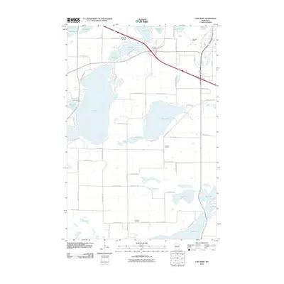
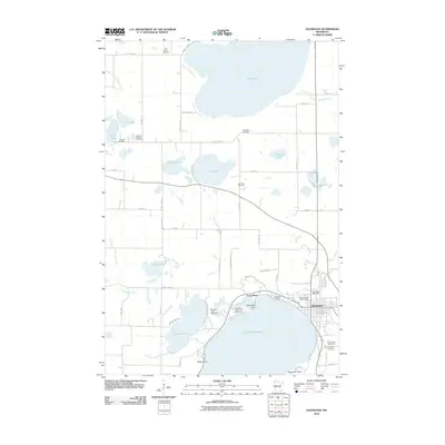
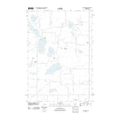
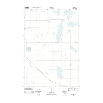
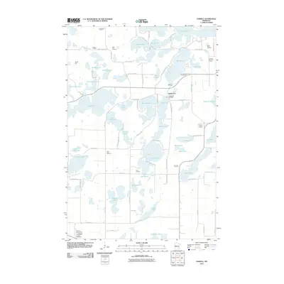
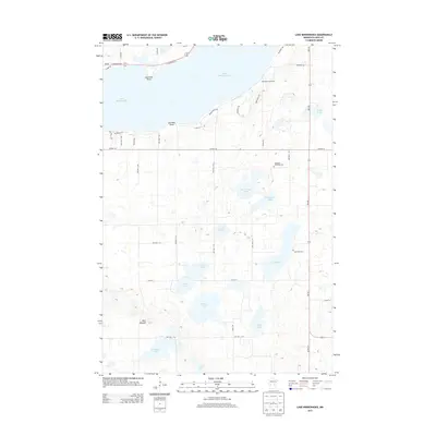
(115)- 2010 Map of Lake Minnewaska, 2010 Print
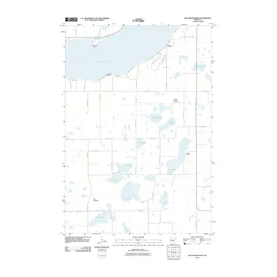 2010 Lake Minnewaska2010 Print · USGSCovers Pope County, including United States, Minnesota, and other nearby areas
 - 2010 Map of Terrace, 2010 Print
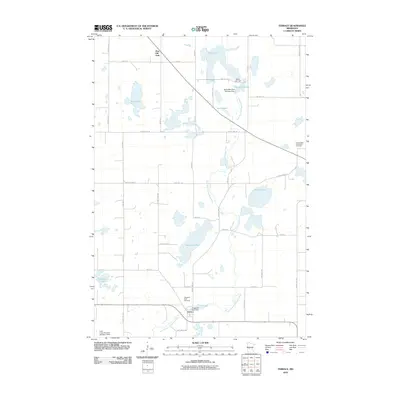 2010 Terrace2010 Print · USGSCovers Pope County, including Glenwood, Sedan, and other nearby areas
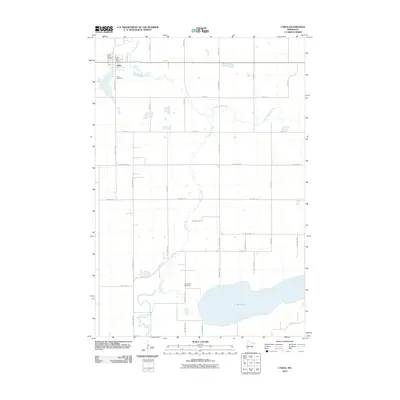
 - 2010 Map of Sedan, 2010 Print
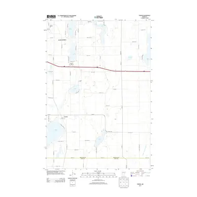
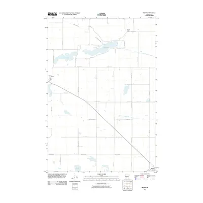 2010 Sedan2010 Print · USGSCovers Pope County, including Brooten, Grove Lake, and other nearby areas
 - 2010 Map of Swift Falls, 2010 Print
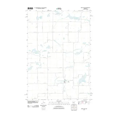 2010 Swift Falls2010 Print · USGSCovers Pope County, including Swift Falls, Swift County, and other nearby areas
 - 2010 Map of Westport, 2010 Print
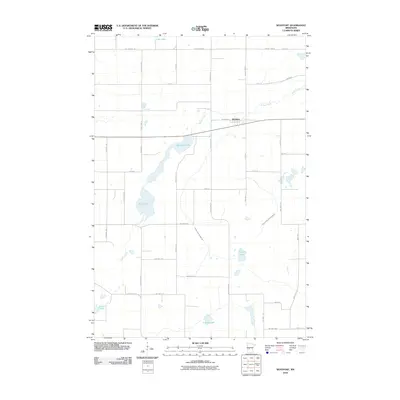 2010 Westport2010 Print · USGSCovers Pope County, including Westport, Stearns County, and other nearby areas
 - 2010 Map of Clontarf North, 2010 Print
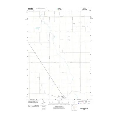 2010 Clontarf North2010 Print · USGSCovers Pope County, including Clontarf, Stevens County, and other nearby areas
 - 2010 Map of Starbuck, 2010 Print
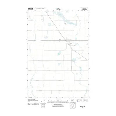
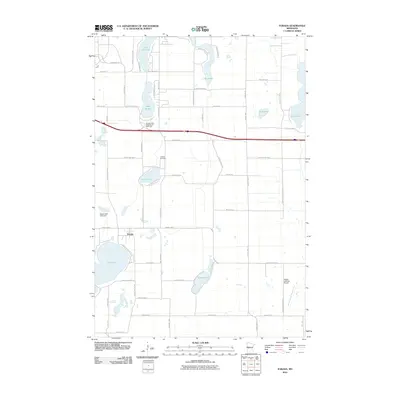
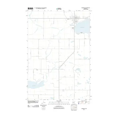 2010 Starbuck2010 Print · USGSCovers Pope County, including Starbuck, United States, and other nearby areas
 - 2010 Map of Lake Hassel, 2010 Print
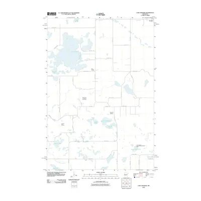
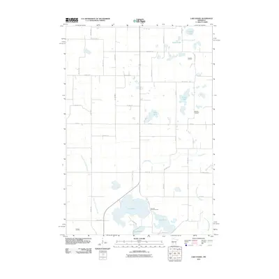 2010 Lake Hassel2010 Print · USGSCovers Pope County, including Swift County, United States, and other nearby areas
 - 2010 Map of Lake Mary, 2010 Print
 2010 Lake Mary2010 Print · USGSCovers Pope County, including Alexandria, Mobile Park Estates, and other nearby areas
 - 2010 Map of Starbuck NW, 2010 Print
 2010 Starbuck NW2010 Print · USGSCovers Pope County, including United States, Minnesota, and other nearby areas
 - 2010 Map of Kensington, 2010 Print
 2010 Kensington2010 Print · USGSCovers Pope County, including Kensington, Douglas County, and other nearby areas
 - 2010 Map of Lowry, 2010 Print
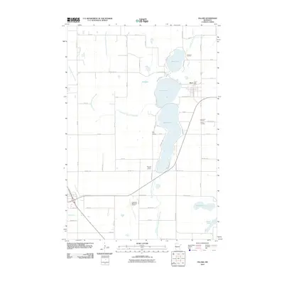
 2010 Lowry2010 Print · USGSCovers Pope County, including Lowry, Farwell, and other nearby areas
 - 2010 Map of Glenwood, 2010 Print
 2010 Glenwood2010 Print · USGSCovers Pope County, including Glenwood, Long Beach, and other nearby areas
 - 2010 Map of Hoffman, 2010 Print
 2010 Hoffman2010 Print · USGSCovers Pope County, including Hoffman, Douglas County, and other nearby areas
 - 2010 Map of Lake Johanna, 2010 Print
 2010 Lake Johanna2010 Print · USGSCovers Pope County, including Brooten, Stearns County, and other nearby areas
 - 2010 Map of Osakis, 2010 Print
 2010 Osakis2010 Print · USGSCovers Pope County, including Osakis, Stearns County, and other nearby areas
 - 2010 Map of Lake Simon, 2010 Print
 2010 Lake Simon2010 Print · USGSCovers Pope County, including Kandiyohi County, Swift County, and other nearby areas
 - 2010 Map of Cyrus, 2010 Print
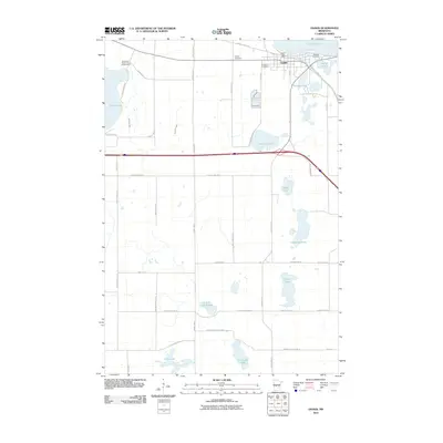
 2010 Cyrus2010 Print · USGSCovers Pope County, including Cyrus, Stevens County, and other nearby areas
 - 2010 Map of Villard, 2010 Print
 2010 Villard2010 Print · USGSCovers Pope County, including Glenwood, Villard, and other nearby areas
 - 2010 Map of Page Lake, 2010 Print
 2010 Page Lake2010 Print · USGSCovers Pope County, including Hancock, Stevens County, and other nearby areas
 - 2010 Map of Farwell, 2010 Print
 2010 Farwell2010 Print · USGSCovers Pope County, including Holmes City, Farwell, and other nearby areas
 - 2010 Map of Forada, 2010 Print
 2010 Forada2010 Print · USGSCovers Pope County, including Alexandria, Forada, and other nearby areas
 - 2010 Map of Pomme De Terre Lakes, 2010 Print
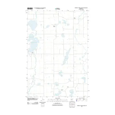 2010 Pomme De Terre Lakes2010 Print · USGSCovers Pope County, including Stevens County, United States, and other nearby areas
 - 2013 Map of Forada, 2013 Print
 2013 Forada2013 Print · USGSCovers Pope County, including Alexandria, Forada, and other nearby areas
 - 2013 Map of Lake Minnewaska, 2013 Print
 2013 Lake Minnewaska2013 Print · USGSCovers Pope County, including United States, Minnesota, and other nearby areas
Showing maps 1-25 of 115
Top cities of Pope County
- Glenwood historical maps
- Starbuck historical maps
- Long Beach historical maps
- Cyrus historical maps
- Lowry historical maps
- Grove Lake historical maps
See more
Frequently asked questions
- What are the different types of historical maps available for Pope County?
- What is the oldest map of Pope County?
- Where can I purchase historical maps of Pope County for my home or office?
- Where can I download high-res historical maps of Pope County?
- Are there historical topographic maps available for Pope County?
- Is there historical aerial imagery available for Pope County?
- Where are historical maps of Pope County sourced from?