Old Maps of Redwood Falls, Minnesota for Academic Research
Study the evolution of Redwood Falls with 19 high-resolution historic maps. Whether you're teaching, researching, or modeling changes in land use, these maps provide essential visual documentation of urban, environmental, and geographic change.
- Analyze long-term change: Track patterns in development, transportation, and natural features.
- Ideal for environmental or urban studies: Support academic projects with primary historical map data.
- Use in the classroom or lab: Educators and researchers rely on these maps to bring historical context to life.
These maps are a powerful tool for teaching, research, and visualizing how Redwood Falls has changed over the decades.
Redwood Falls, MN maps
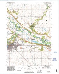
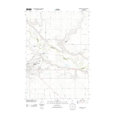
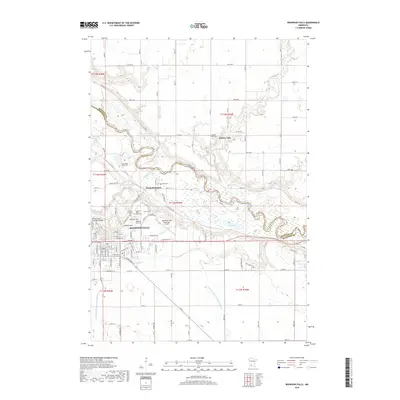
(19)- 1952 Map of Redwood Falls, 1954 Print
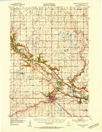 1952 Redwood Falls1954 Print · USGSRedwood Falls and the Minnesota River valley are captured in detail during the early fifties, showing the area's deep agricultural and river-town roots. Researchers can trace rural school districts, the Chicago and North Western rail line, and the Lower Sioux Indian Community.2 unique versions available
 - 1953 Map of New Ulm, 1968 Print
 1953 New Ulm1968 Print · USGSSouthern Minnesota in the mid-1950s is defined by its deep river valleys and the expanding reach of the Great Northern and Chicago and North Western railroads. Researchers can trace rural lineages through landmarks like the Milford State Monument, St. John's Ch, and the Upper Sioux Indian Res.3 unique versions available
 - 1957 Map of New Ulm
 1957 New Ulm1957 Print · USGSCentral Minnesota in the mid-fifties remains a landscape of river-valley commerce and prairie agriculture defined by its historic mission sites and rail towns. Genealogists and local historians can trace the development of New Ulm and Montevideo, or locate specific landmarks like the Milford State Monument and Minnesota Falls.
 - 1958 Map of New Ulm
 1958 New Ulm1958 Print · USGSSouth-central Minnesota’s river valleys and prairie towns are captured here in the mid-fifties, during the height of the region's rail-and-river economy. Genealogists and historians can trace the legacy of the Upper Sioux Indian Mission or locate early rail stops along the Chicago and North Western Ry in towns like Redwood Falls and Glencoe.
 - 1967 Map of New Ulm
 1967 New Ulm1967 Print · USGSSouthern Minnesota in the mid-fifties is captured here as a landscape of river-valley missions and busy prairie rail towns. Researchers can trace the Yellow Medicine Trail and locate historic sites like the Morton Indian Mission and Milford State Monument.
 - 1982 Map of Redwood Falls, 1983 Print
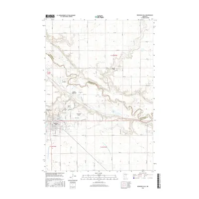
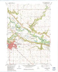 1982 Redwood Falls1983 Print · USGSRedwood Falls and the Minnesota River valley appear here in the early eighties as a hub of rail transit and riverfront industry. Local historians can trace the Old Indian Treaty Boundary and locate family plots at Beaver Falls Cem or St Catherine Cem Redwood Falls Cem.2 unique versions available
 - 1983 Map of Delhi
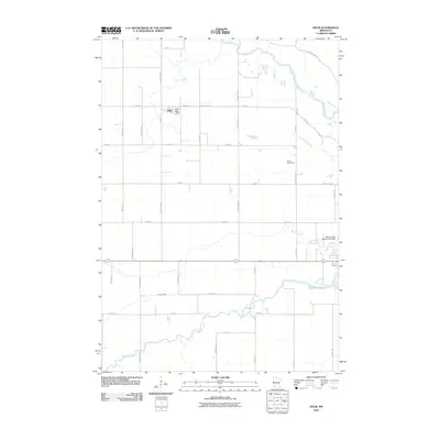
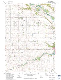 1983 Delhi1983 Print · USGSRedwood and Renville Counties are captured in the early eighties as the agricultural landscape surrounds the growing town of Redwood Falls. Genealogists and researchers can trace the Old Indian Treaty Boundary and locate early sites like Delhi and Ramsey Falls.
 - 1986 Map of Montevideo
 1986 Montevideo1986 Print · USGSWestern Minnesota’s river valleys and prairie townships are captured here in the mid-eighties, showing the region's agricultural and rail network. Trace family roots and local history through Montevideo, Granite Falls, and the Upper Sioux Agency State Park.2 unique versions available
 - 1992 Map of Redwood Falls, 1995 Print
 1992 Redwood Falls1995 Print · USGSRedwood Falls and the winding Minnesota River valley are captured here in the early nineties during a period of steady growth. Genealogists can locate family sites at St Catherine Cem or Beaver Falls Cem, and trace the bounds of the Lower Sioux Indian Reservation.
 - 2010 Map of Redwood Falls, 2010 Print
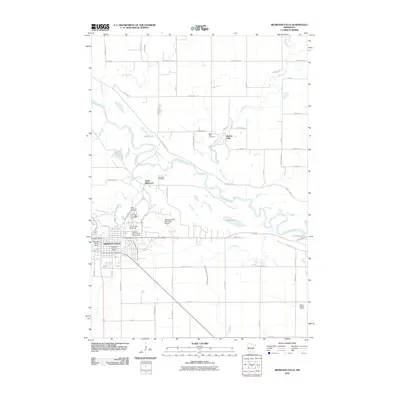 2010 Redwood Falls2010 Print · USGSCovers Redwood Falls, including Beaver Falls, North Redwood, and other nearby areas
 - 2010 Map of Delhi, 2010 Print
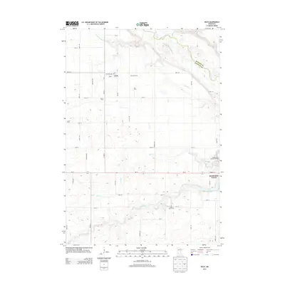
 2010 Delhi2010 Print · USGSCovers Redwood Falls, including Delhi, Redwood County, and other nearby areas
 - 2013 Map of Delhi, 2013 Print
 2013 Delhi2013 Print · USGSCovers Redwood Falls, including Delhi, Redwood County, and other nearby areas
 - 2013 Map of Redwood Falls, 2013 Print
 2013 Redwood Falls2013 Print · USGSCovers Redwood Falls, including Beaver Falls, North Redwood, and other nearby areas
 - 2016 Map of Delhi, 2016 Print
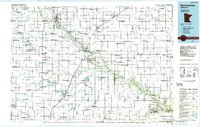
 2016 Delhi2016 Print · USGSCovers Redwood Falls, including Delhi, Redwood County, and other nearby areas
 - 2016 Map of Redwood Falls, 2016 Print
 2016 Redwood Falls2016 Print · USGSCovers Redwood Falls, including Beaver Falls, North Redwood, and other nearby areas
 - 2019 Map of Delhi, 2019 Print
 2019 Delhi2019 Print · USGSCovers Redwood Falls, including Delhi, Redwood County, and other nearby areas
 - 2019 Map of Redwood Falls, 2019 Print
 2019 Redwood Falls2019 Print · USGSCovers Redwood Falls, including Beaver Falls, North Redwood, and other nearby areas
 - 2022 Map of Delhi, 2022 Print
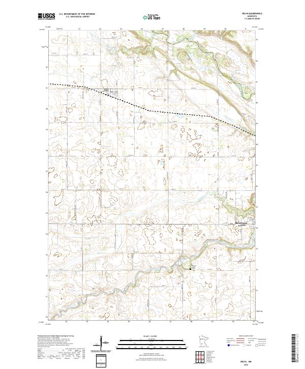 2022 Delhi2022 Print · USGSThe rural settlement of Delhi is captured in this contemporary survey, reflecting the enduring agricultural patterns of the Minnesota prairie. Researchers can trace the section lines and the engineered course of County Ditch Number Ninetyfive.
 - 2022 Map of Redwood Falls, 2022 Print
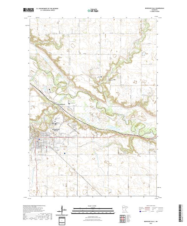 2022 Redwood Falls2022 Print · USGSRedwood Falls and the winding Minnesota River valley appear here in the early 2020s, showing a landscape rich with family history and administrative roots. Genealogists can locate several unique sites like the Camp Pope Burial Plot and Riverside Cem near North Redwood.
End of results
Showing maps 1-19 of 19
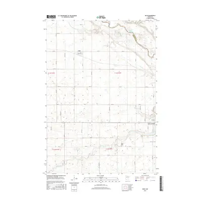
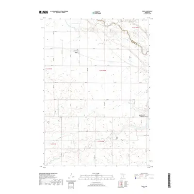
Top cities near Redwood Falls
- Olivia historical maps
- Bird Island historical maps
- Morgan historical maps
- Wabasso historical maps
- Franklin historical maps
- Morton historical maps
See more
Top neighborhoods of Redwood Falls
Frequently asked questions
- What are the different types of historical maps available for Redwood Falls?
- What is the oldest map of Redwood Falls?
- Where can I purchase historical maps of Redwood Falls for my home or office?
- Where can I download high-res historical maps of Redwood Falls?
- Are there historical topographic maps available for Redwood Falls?
- Is there historical aerial imagery available for Redwood Falls?
- Where are historical maps of Redwood Falls sourced from?