2000s (21st Century) Maps of Swift County, Minnesota
Explore 110 historic maps of Swift County from the 2000s (21st Century). These maps offer a rare glimpse into what life looked like during the 2000s — showing old roads, neighborhoods, homes, and landmarks that have changed or disappeared over time.
Whether you're researching your family's past, planning a metal detecting trip, or studying how Swift County's landscape evolved across the 2000s, these high-resolution maps are a powerful tool for exploring the history of this region.
- Focus on a specific era: All maps on this page are from the 2000s, giving you a focused view of this time period.
- See what’s changed: Compare century-old streets, trails, and buildings to today's modern landscape using overlays and satellite layers.
- Research with precision: Use these maps for genealogy, historical research, land use analysis, or educational projects.
- View, download, or print: Maps are fully viewable online in high resolution, and can be downloaded or printed for your own records.
Start exploring Swift County's history through authentic maps from the 2000s. This is your window into the past.
Swift County, MN maps
(110)- 2010 Map of Gracelock NW, 2010 Print
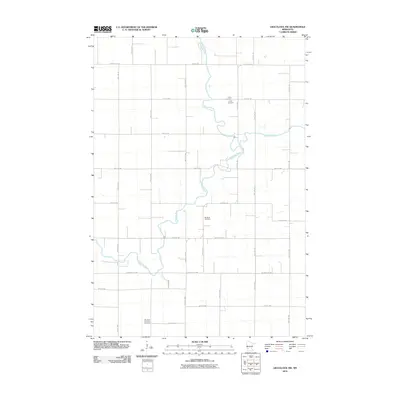 2010 Gracelock NW2010 Print · USGSChippewa County agriculture and river life are recorded here in the early twenty-first century as the landscape follows its long-established section lines. Researchers can locate family sites and local landmarks like Trinity Cemetery and Big Bend Lutheran Cemetery.
 - 2010 Map of Hancock NW, 2010 Print
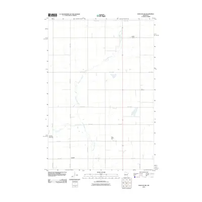 2010 Hancock NW2010 Print · USGSFairfield and the surrounding Minnesota prairie are captured here in the early twenty-first century. Genealogists and local historians can trace rural roots at the Apostolic Christian Cemetery or follow the path of the Pomme de Terre River.
 - 2010 Map of Swift Falls, 2010 Print
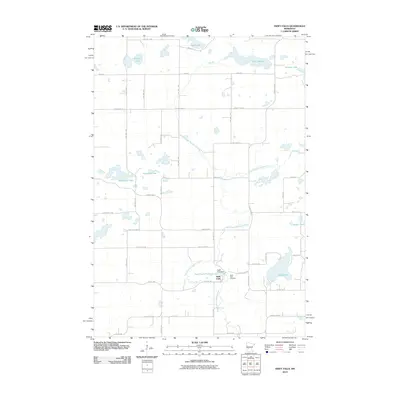 2010 Swift Falls2010 Print · USGSSwift County at the start of the 2010s shows a landscape of prairie lakes and river-powered industry. Local historians can trace the community of Swift Falls along the East Branch Chippewa River, including the Swift Falls Dam and nearby Swift Falls Cemetery.
 - 2010 Map of Clontarf North, 2010 Print
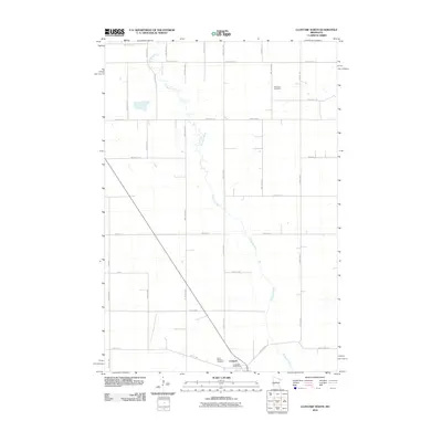 2010 Clontarf North2010 Print · USGSThe rural prairie landscape of Swift County is captured here in the early twenty-first century, centered on the Chippewa River drainage. Researchers can locate the Clontarf Post Office and trace local family history at West Zion Cemetery and Saint Malachy Cemetery.
 - 2010 Map of Lake Hassel, 2010 Print
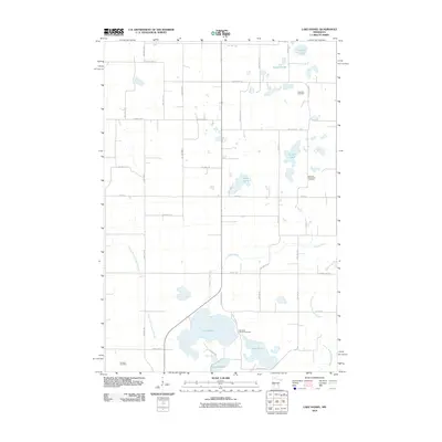 2010 Lake Hassel2010 Print · USGSPope County’s lake-country landscape is captured here in the early twenty-first century, showing a rural region defined by its water and cemeteries. Researchers can locate family landmarks like the Lake Hazel Lutheran Cemetery, East Zion Cemetery, and Benson Lake.
 - 2010 Map of Benson, 2010 Print
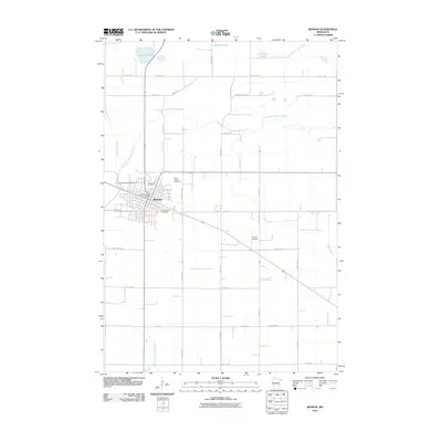 2010 Benson2010 Print · USGSBenson and its surrounding prairie landscape are shown here at the turn of the millennium, centered on the confluence of the Chippewa River and its east branch. Researchers can locate family sites at Saint Francis Cemetery or trace water management through Judicial Ditch Number Five.
 - 2010 Map of Clontarf South, 2010 Print
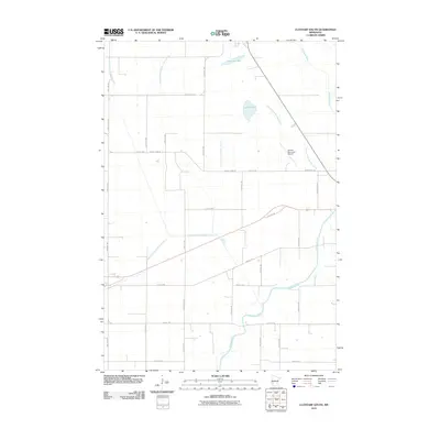 2010 Clontarf South2010 Print · USGSSwift County agricultural lands and the Chippewa River valley are shown here just after the first decade of the new millennium. Researchers can trace the extensive drainage network through Judicial Ditch Number Nine and locate the Benson Municipal Airport.
 - 2010 Map of Milan NW, 2010 Print
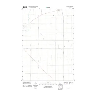 2010 Milan NW2010 Print · USGSHolloway and the surrounding prairie of Swift County are captured here at the start of the 2010s. Researchers can locate specific family plots at Saint Josephs Cemetery or trace the rural landscape along the Pomme de Terre River and Home-Base Airport.
 - 2010 Map of Hancock SW, 2010 Print
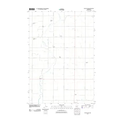 2010 Hancock SW2010 Print · USGSSwift County at the start of the 2010s reveals a quiet landscape of riverside dams and ancestral burial grounds along the Pomme de Terre River. Family historians can trace local roots at the Smith- Kepner Cemetery, Immanuel Cemetery, and Trinity Cemetery.
 - 2010 Map of Lake Simon, 2010 Print
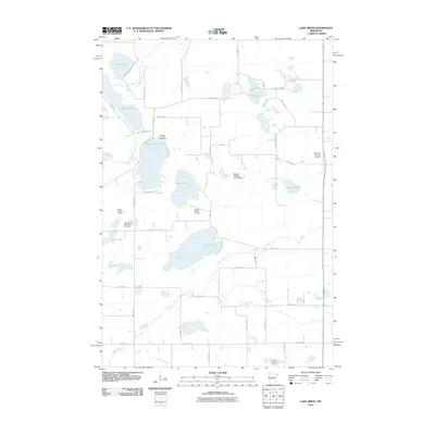 2010 Lake Simon2010 Print · USGSKandiyohi County was characterized by its cluster of glacial lakes and pioneer burial grounds during this era. Genealogists can trace family heritage at the Hitman Family Cemetery, Scandia Lutheran Cemetery, and along the shores of Scandinavian Lake.
 - 2010 Map of Danvers, 2010 Print
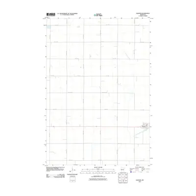 2010 Danvers2010 Print · USGSSwift County agricultural life is captured here in the early twenty-first century, showing the precise grid of the Minnesota prairie. Family historians can locate specific properties along Maryland Ave or trace water rights near Judicial Ditch Number Eighty.
 - 2010 Map of Pennock, 2010 Print
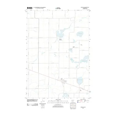 2010 Pennock2010 Print · USGSPennock and the surrounding Kandiyohi County prairie are shown here during the early twenty-first century as an established agricultural and lakeside community. Researchers can locate family heritage sites like Mamrelund Lutheran Cemetery, Salem Cemetery, and the Pennock Post Office.
 - 2010 Map of De Graff, 2010 Print
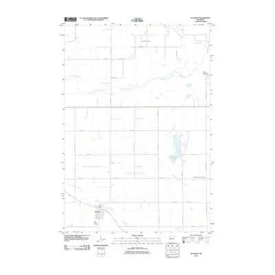 2010 De Graff2010 Print · USGSThe agricultural townships surrounding De Graff are shown here as they appeared in 2010, dominated by a vast grid of section roads and drainage projects. Family historians can locate the Saint Bridget Cemetery, Saint Pauli Cemetery, and the local Post Office.
 - 2010 Map of Big Bend City, 2010 Print
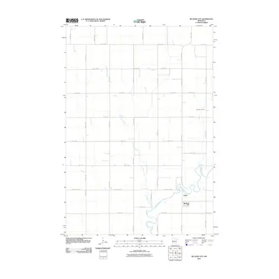 2010 Big Bend City2010 Print · USGSWestern Minnesota farmland near the start of the millennium is defined by the winding Chippewa River and its rural settlements. Genealogists and local historians can trace the grid of section roads to reach Big Bend City, Hagan, and the West Bank Cemetery.
 - 2010 Map of Kerkhoven, 2010 Print
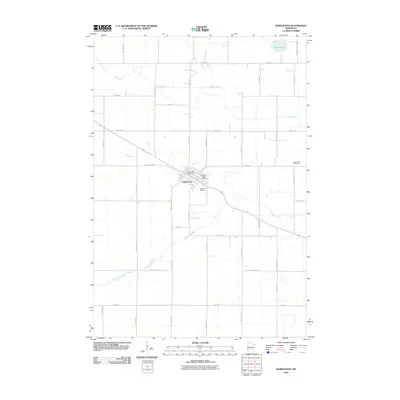 2010 Kerkhoven2010 Print · USGSKerkhoven and the surrounding Swift County prairies are captured here during a period of modern agricultural stability. Researchers can locate family plots at Hillside Cemetery and West Salem Cemetery or trace the drainage of Shakopee Creek through the rural sections.
 - 2010 Map of Murdock, 2010 Print
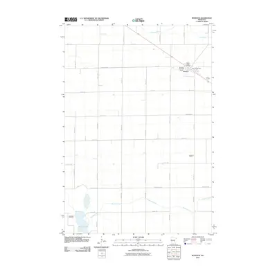 2010 Murdock2010 Print · USGSMurdock and the surrounding Swift County farmlands are captured here during the first decade of the 2000s. Researchers can trace local history through sites like Sacred Heart Cemetery, the Murdock Post Office, and the waters of Shakopee Lake.
 - 2010 Map of De Graff SE, 2010 Print
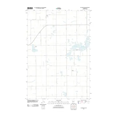 2010 De Graff SE2010 Print · USGSKandiyohi County at the start of the 2010s reveals a quiet agricultural landscape shaped by generations of water management and local community roots. Genealogists and historians can trace family ties at Spring Creek Cemetery, Hillcrest Cemetery, and the banks of Lake Frank.
 - 2010 Map of Hancock, 2010 Print
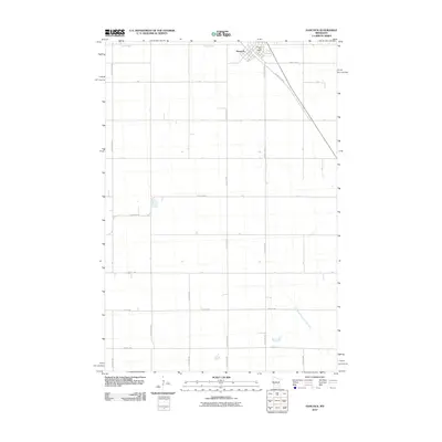 2010 Hancock2010 Print · USGSHancock and its surrounding prairie are shown here at the turn of the millennium, revealing a landscape of precise agricultural sections and managed waterways. Trace the local street grid near the Hancock Post Office or follow the route of Judicial Ditch Number Nine.
 - 2010 Map of Dry Wood Lake, 2010 Print
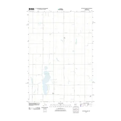 2010 Dry Wood Lake2010 Print · USGSStevens County farmland at the start of the 2010s shows a landscape of persistent agricultural tradition and rural community. Genealogists can locate family sites near Trinity Lutheran Cemetery, Good Shepherd Cemetery, or the banks of Dry Wood Lake.
 - 2010 Map of Appleton, 2010 Print
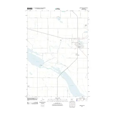 2010 Appleton2010 Print · USGSAppleton and the surrounding river valleys are captured here in the first decade of the millennium. Researchers can trace the winding Pomme de Terre River and locate local landmarks like the Appleton Cemetery, Marsh Lake Dam, and the Minnesota Valley Cemetery.
 - 2010 Map of Lake Oliver, 2010 Print
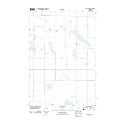 2010 Lake Oliver2010 Print · USGSThe prairie wetlands of Big Stone County are captured here in the early 2000s, showcasing a landscape of glacial lakes and rural farmsteads. Genealogists can locate family burial sites at Waldum Cemetery, Long Lake Cemetery, and Immanuel Cemetery.
 - 2010 Map of Gracelock NE, 2010 Print
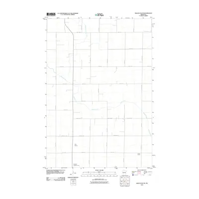 2010 Gracelock NE2010 Print · USGSThis Chippewa County landscape in the early twenty-first century showcases a traditional Minnesota agricultural grid bisected by Shakopee Creek. Genealogists and local historians can locate Saint John's Cemetery and the Saint Paul's Evangelical Lutheran Cemetery among the rural section roads.
 - 2013 Map of Lake Oliver, 2013 Print
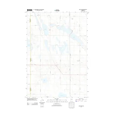 2013 Lake Oliver2013 Print · USGSBig Stone and Swift counties are mapped here during the early twenty-first century, showcasing a rural landscape defined by its prairie potholes and lakes. Genealogists can locate family sites such as Waldum Cem and Immanuel Cem or trace the property near Banken Farms.
 - 2013 Map of Hancock, 2013 Print
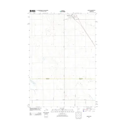 2013 Hancock2013 Print · USGSHancock and the surrounding farmland of Stevens and Swift Counties are captured here in the early twenty-first century. Genealogists and local historians can trace the town’s street grid along Atlantic Ave and locate the PO or water features like Byrne Lake.
 - 2013 Map of Benson, 2013 Print
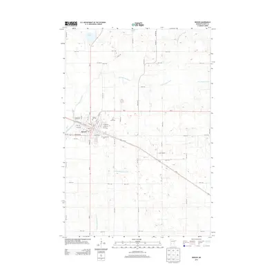 2013 Benson2013 Print · USGSBenson and its surrounding prairie landscape are captured here in the early twenty-first century as the Chippewa River system defines the local geography. Researchers can trace family history at Benson City Cemetery or locate landmarks like the Lorenz Airport.
Showing maps 1-25 of 110
Top cities of Swift County
- Benson historical maps
- Appleton historical maps
- Kerkhoven historical maps
- Murdock historical maps
- Clontarf historical maps
- Fairfield historical maps
See more
Frequently asked questions
- What are the different types of historical maps available for Swift County?
- What is the oldest map of Swift County?
- Where can I purchase historical maps of Swift County for my home or office?
- Where can I download high-res historical maps of Swift County?
- Are there historical topographic maps available for Swift County?
- Is there historical aerial imagery available for Swift County?
- Where are historical maps of Swift County sourced from?