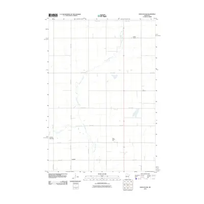
2010 Map of Hancock NW
USGS Topo · Published 2010About this map
The Pomme de Terre River meanders through this agricultural landscape in West Central Minnesota, defining much of the drainage pattern for the area. The settlement of Fairfield sits in the southwest corner of the quadrangle, serving as a focal point for a region structured by a dense grid of township roads. This area of Swift County is characterized by its prairie water systems, including the confluence of Dry Wood Creek and the river. Significant local landmarks include the Apostolic Christian Cemetery and Zion Cemetery, which anchor the rural landscape. Water management is evident through features such as the Elmer Schliep Dam and the Drywood Creek Fish Barrier Dam, illustrating the local efforts to regulate these vital waterways during the early 21st century.
Find a feature on this map
22 named features on this map. Tap any name to fly to it.
Don’t see what you’re looking for? This feature index may not catch every label — zoom into the map to look around manually.
Map Details
Editions of this 2010 Hancock NW Map
This is the sole edition of this map. No revisions or reprints were ever made.
Other maps of this area

1910 · Chokio
USGS Topo · 1:62,500

1912 · Chokio
USGS Topo · 1:62,500

1912 · Morris
USGS Topo · 1:62,500

1953 · Milbank
USGS Topo · 1:250,000

1953 · Saint Cloud
USGS Topo · 1:250,000

1957 · Saint Cloud
USGS Topo · 1:250,000

1958 · Milbank
USGS Topo · 1:250,000

1958 · Saint Cloud
USGS Topo · 1:250,000

1968 · Dry Wood Lake
USGS Topo · 1:24,000

1968 · Lake Oliver
USGS Topo · 1:24,000