2010s Maps of Wabasha County, Minnesota
Explore 80 historic maps of Wabasha County from the 2010s. These maps offer a rare glimpse into what life looked like during the 2010s — showing old roads, neighborhoods, homes, and landmarks that have changed or disappeared over time.
Whether you're researching your family's past, planning a metal detecting trip, or studying how Wabasha County's landscape evolved across the 2010s, these high-resolution maps are a powerful tool for exploring the history of this region.
- Focus on a specific era: All maps on this page are from the 2010s, giving you a focused view of this time period.
- See what’s changed: Compare century-old streets, trails, and buildings to today's modern landscape using overlays and satellite layers.
- Research with precision: Use these maps for genealogy, historical research, land use analysis, or educational projects.
- View, download, or print: Maps are fully viewable online in high resolution, and can be downloaded or printed for your own records.
Start exploring Wabasha County's history through authentic maps from the 2010s. This is your window into the past.
Wabasha County, MN maps
(80)- 2010 Map of Mazeppa, 2010 Print
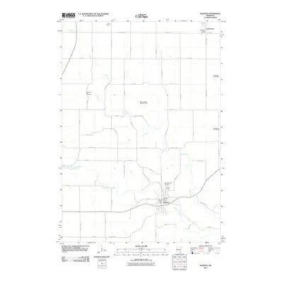 2010 Mazeppa2010 Print · USGSMazeppa and Bellechester appear at the start of the 21st century as the river-driven economy continues to shape the Zumbro Valley. Researchers can trace rural lineages through the Zumbrota East Cemetery, Grace Cemetery, and the Zumbro River Dam infrastructure.
 - 2010 Map of Elba, 2010 Print
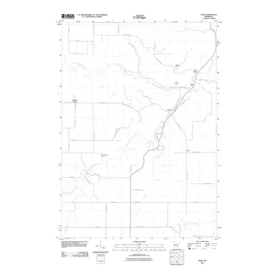 2010 Elba2010 Print · USGSSoutheastern Minnesota's river valleys come alive in this 2010 record of the bluffs and bottoms around Elba. Researchers can trace local heritage through sites like Saint Aloysius Cemetery, Kingsley Corner, and the winding banks of Trout Run.
 - 2010 Map of Zumbro Falls, 2010 Print
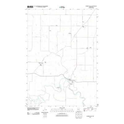 2010 Zumbro Falls2010 Print · USGSZumbro Falls and the surrounding Wabasha County farm country are captured here in the early 2000s as the river remains the central geographic feature. Genealogists can locate several historic burial grounds, including Black Cemetery, Chester Cemetery, and English Cemetery.
 - 2010 Map of Lake City NW, 2010 Print
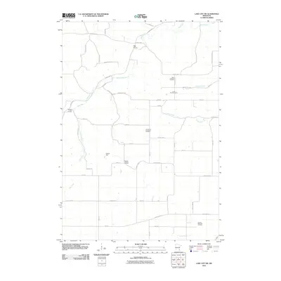 2010 Lake City NW2010 Print · USGSBelvidere Township and the surrounding Goodhue County countryside are shown here in the early twenty-first century, featuring a high density of ancestral burial grounds. Genealogists can locate family sites like Corfes Private Cemetery and religious landmarks such as the Old German Evangelical Cemetery along the banks of Wells Creek.
 - 2010 Map of Beaver, 2010 Print
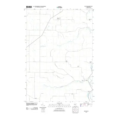 2010 Beaver2010 Print · USGSThe Winona County valley near Beaver is captured here during the first decade of the 2000s, showing a landscape shaped by the Whitewater River. Genealogists can locate several local burial sites including Hoosier Ridge Cemetery and Woodlawn Cemetery.
 - 2010 Map of Plainview, 2010 Print
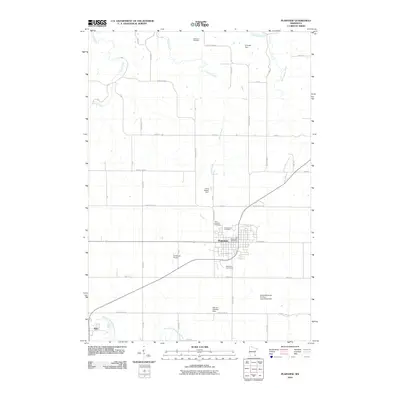 2010 Plainview2010 Print · USGSSoutheastern Minnesota at the dawn of the 2010s reveals a structured agricultural landscape surrounding the growing community of Plainview. Genealogists and local historians can trace legacy sites like Oakwood Cemetery or locate regional landmarks such as Christison Airport and the North Fork Whitewater River.
 - 2010 Map of Plainview SW, 2010 Print
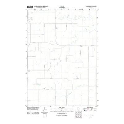 2010 Plainview SW2010 Print · USGSWabasha County is captured here in the early 2000s, showing a rural landscape structured by the forks of the Whitewater River. Genealogists and local historians can locate several family burial sites, including Pleasant Valley Cemetery and Saint Paul's Cemetery.
 - 2010 Map of Millville, 2010 Print
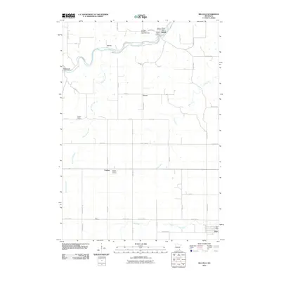 2010 Millville2010 Print · USGSWabasha County farmland and river valleys are captured here in the early twenty-first century as the Zumbro River flows past Millville. Genealogists can locate several rural burial sites, including Potsdam Lutheran Cemetery and Zion Cemetery.
 - 2010 Map of Oronoco, 2010 Print
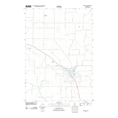 2010 Oronoco2010 Print · USGSOronoco sits at the confluence of the Zumbro River forks in the early twenty-first century, a landscape defined by water and wood. Genealogists can trace family names at Saint Peter's German Lutheran Cemetery or locate the Oronoco Post Office and Shady Lake.
 - 2010 Map of Lake City, 2010 Print
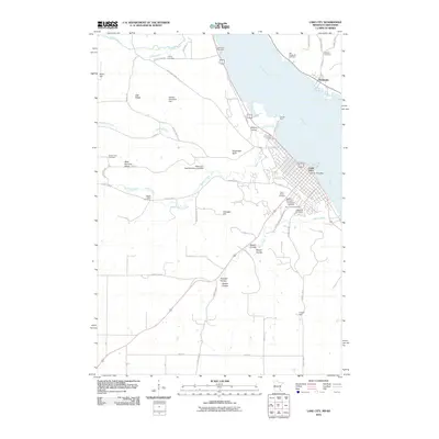 2010 Lake City2010 Print · USGSLake City and the Mississippi River valley are captured here at the start of the 2010s. Genealogists can trace numerous burial sites including Oakwood Cemetery, Vining Cemetery, and Old Stockholm Cemetery across the river.
 - 2010 Map of Chester, 2010 Print
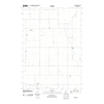 2010 Chester2010 Print · USGSOlmsted County’s rural townships are documented here during the first decade of the new millennium. Genealogists and historians can locate numerous family burial sites, including Saint John's Lutheran Cemetery and Oak Hill Cemetery, near the village of Viola.
 - 2010 Map of West Albany, 2010 Print
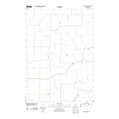 2010 West Albany2010 Print · USGSWest Albany and the surrounding Wabasha County countryside are captured here in the early 21st century, showing a landscape defined by deep coulees and river valleys. Researchers can locate family burial sites at Jacksonville Cemetery or Hyde Park Cemetery and trace the winding course of Spring Creek.
 - 2010 Map of Pepin, 2010 Print
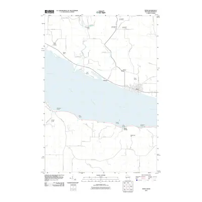 2010 Pepin2010 Print · USGSThe Wisconsin and Minnesota shores of the Mississippi River meet here in the early twenty-first century. Researchers can trace landforms from Pepin Prairie to Bogus Bluff and find local landmarks such as Oakwood Cemetery and Lakeport.
 - 2010 Map of Wabasha North, 2010 Print
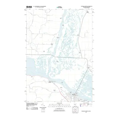 2010 Wabasha North2010 Print · USGSThe confluence of the Mississippi and Chippewa Rivers comes alive in this 2010 study of the border region between Minnesota and Wisconsin. Researchers can trace the riverfront history of Wabasha and Reads Landing, or locate landmarks like Saint Felix Cemetery and the Richard H Jahnke 904 Dam.
 - 2010 Map of Wabasha South, 2010 Print
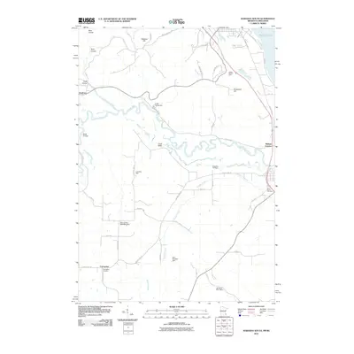 2010 Wabasha South2010 Print · USGSThe rural landscapes south of Wabasha are documented here in the early 21st century, showing a network of coulees and river bottoms. Researchers can trace family history at Conception Cemetery or locate local landmarks like Midland Junction and the Coffee Mill Ski Area.
 - 2011 Map of Zumbro Lake, 2011 Print
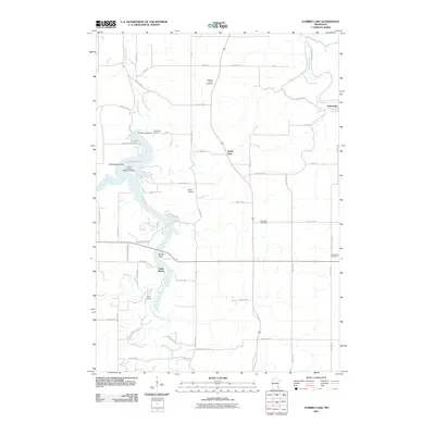 2011 Zumbro Lake2011 Print · USGSZumbro Lake and its many winding forks are shown here at the start of the 2010s, illustrating a landscape defined by river recreation and rural agriculture. Researchers can locate the Lake Zumbro Seaplane Base, the Zumbro Lake Dam, and the village of Hammond.
 - 2011 Map of Theilman, 2011 Print
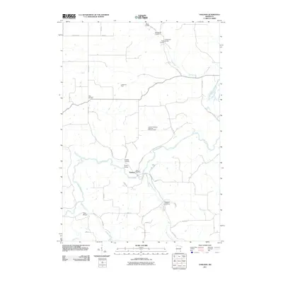 2011 Theilman2011 Print · USGSTheilman and the surrounding Zumbro River valley are captured in detail during the early 21st century. Researchers can locate the Scott Settlement Cemetery and Theilman Post Office, or trace the numerous local drainage coulees like Bade Coulee and Sutton Coulee.
 - 2011 Map of Alma, 2011 Print
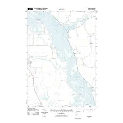 2011 Alma2011 Print · USGSThe riverfront communities of the Mississippi valley appear in the early 2010s as the river winds past Alma and Kellogg. Researchers can trace local landmarks like the Mill Creek Cemetery, the Kellogg Post Office, and the industrial Alma Mill 1 D6519 Dam.
 - 2011 Map of Weaver, 2011 Print
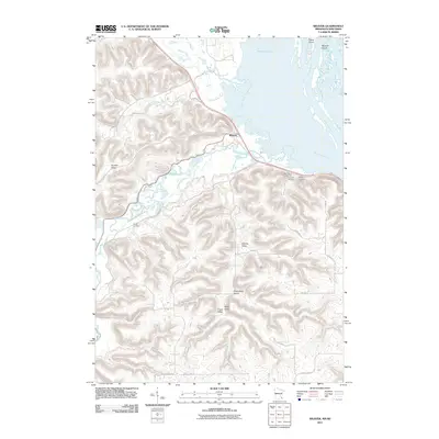 2011 Weaver2011 Print · USGSThe river bluffs and backwaters of Buffalo County are captured here in the early twenty-first century. Genealogists and local historians can locate several rural burial grounds, such as Saint Marys and Young Cemetery, alongside the settlement of Weaver.
 - 2011 Map of Cochrane, 2011 Print
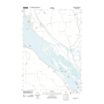 2011 Cochrane2011 Print · USGSThe riverfront communities of Buffalo City and Cochrane sit along the Upper Mississippi in the early twenty-first century. Genealogists and researchers can trace local landmarks like Mount Vernon Cemetery, the settlement of Minneiska, and the river landing at Bass Camp.
 - 2013 Map of Cochrane, 2013 Print
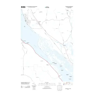 2013 Cochrane2013 Print · USGSThe Upper Mississippi River valley at the Wisconsin border reveals a landscape of intricate sloughs and riverfront towns. Researchers can trace the development of Buffalo City and Cochrane near landmarks like Chimney Rock and Bass Camp.
 - 2013 Map of Pepin, 2013 Print
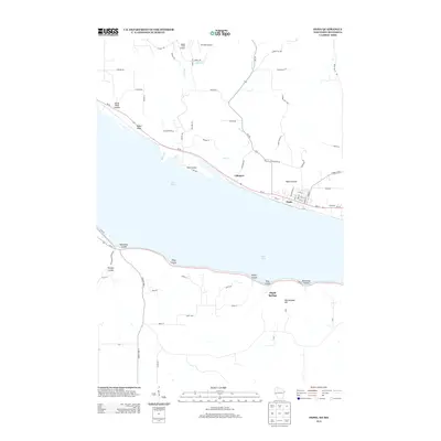 2013 Pepin2013 Print · USGSThe riverfront communities of Wisconsin and Minnesota meet at Lake Pepin in this modern topographic survey. Local historians can trace the deep-cut terrain of Horse Thief Coulee or locate the small landing strips at Airwolfe Airport and Bogus Creek Airport.
 - 2013 Map of Alma, 2013 Print
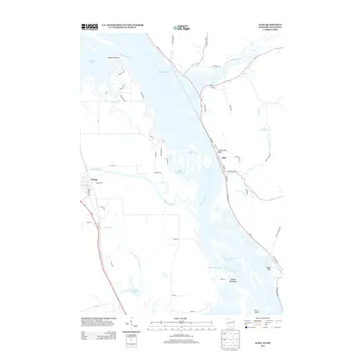 2013 Alma2013 Print · USGSThe Upper Mississippi River valley in the early 2010s reveals a complex landscape of islands and riverfront settlements. Researchers can trace the river's path past Twelve Mile Bluff to the town of Alma, or explore the winding Zumbro River near Kellogg.
 - 2013 Map of Wabasha North, 2013 Print
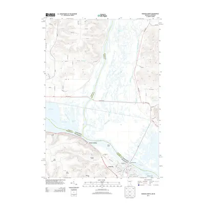 2013 Wabasha North2013 Print · USGSThe riverfront communities of Wabasha and Reads Landing are shown along the Upper Mississippi just after the turn of the millennium. Researchers can trace local landmarks like Riverview Cem, the Mississippi Parkside Marina, and the complex wetlands of Buffalo Slough.
 - 2013 Map of Zumbro Falls, 2013 Print
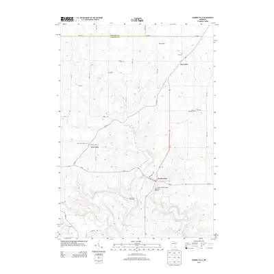 2013 Zumbro Falls2013 Print · USGSThe river valleys and upland prairies of Wabasha County are captured here just over a decade ago. Genealogists can trace family names at Saint John's Lutheran Cem, Black Cem, and Bear Valley Cem near the banks of the Zumbro River.
Showing maps 1-25 of 80
Top cities of Wabasha County
- Lake City historical maps
- Plainview historical maps
- Wabasha historical maps
- Elgin historical maps
- Mazeppa historical maps
- Kellogg historical maps
See more
Frequently asked questions
- What are the different types of historical maps available for Wabasha County?
- What is the oldest map of Wabasha County?
- Where can I purchase historical maps of Wabasha County for my home or office?
- Where can I download high-res historical maps of Wabasha County?
- Are there historical topographic maps available for Wabasha County?
- Is there historical aerial imagery available for Wabasha County?
- Where are historical maps of Wabasha County sourced from?