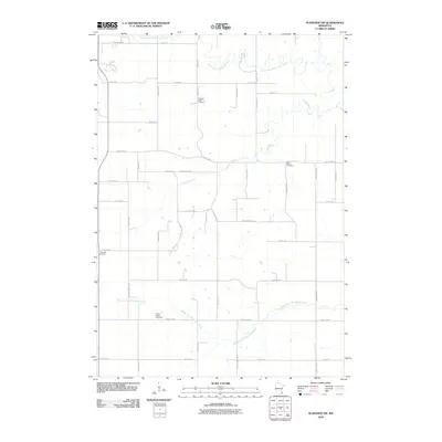
2010 Map of Plainview SW
USGS Topo · Published 2010About this map
Pleasant Valley Cemetery and Little Valley Cemetery serve as central landmarks in this rural landscape within Wabasha County, dominated by the drainage systems of the Whitewater River. The North Fork Whitewater River meanders across the northern reaches, while the Middle Fork Whitewater River cuts through the southern section, joined by the winding course of the Logan Branch. This area is defined by a dense grid of local roads and county highways, including County Hwy-2 and County Hwy-107, which connect scattered homesteads and agricultural plots. The distribution of sites like Oak Hill Cemetery and Saint Paul's Cemetery along these routes reflects the long-established burial grounds of the local community as it appeared in the early 21st century. The map provides a detailed view of the valley's hydrology and the infrastructure supporting this corner of Minnesota.
Find a feature on this map
25 named features on this map. Tap any name to fly to it.
Don’t see what you’re looking for? This feature index may not catch every label — zoom into the map to look around manually.
Map Details
Editions of this 2010 Plainview SW Map
This is the sole edition of this map. No revisions or reprints were ever made.
Other maps of this area

1934 · Plainview
USGS Topo · 1:62,500

1935 · Rochester
USGS Topo · 1:48,000

1938 · Plainview
USGS Topo · 1:62,500

1939 · Rochester
USGS Topo · 1:62,500

1953 · Saint Paul
USGS Topo · 1:250,000

1954 · Chatfield
USGS Topo · 1:62,500

1954 · Mason City
USGS Topo · 1:250,000

1955 · Stewartville
USGS Topo · 1:62,500

1957 · Mason City
USGS Topo · 1:250,000

1958 · Mason City
USGS Topo · 1:250,000