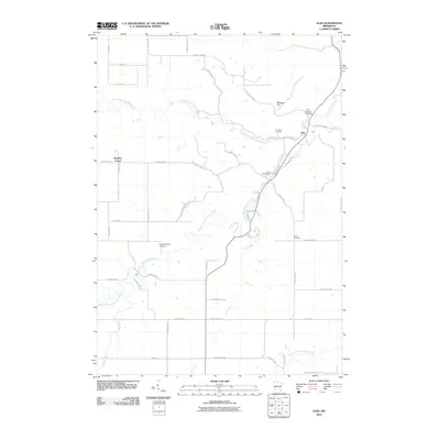
2010 Map of Elba
USGS Topo · Published 2010About this map
The confluence of the North Fork Whitewater River and the Middle Fork Whitewater River defines the landscape surrounding Elba, a small settlement positioned near the base of Whiskey Hill. This 2010 survey details the complex hydrography of the region, where numerous streams like Trout Run and Crow Spring carve through the bluff country of southeastern Minnesota. The map provides significant detail for genealogists, marking several local burial grounds including Saint Aloysius Cemetery, Fairwater Cemetery, and Borea Cemetery.
Find a feature on this map
48 named features on this map. Tap any name to fly to it.
Don’t see what you’re looking for? This feature index may not catch every label — zoom into the map to look around manually.
Map Details
Editions of this 2010 Elba Map
This is the sole edition of this map. No revisions or reprints were ever made.
Other maps of this area

1932 · Cochrane
USGS Topo · 1:62,500

1934 · Plainview
USGS Topo · 1:62,500

1934 · Cochrane
USGS Topo · 1:62,500

1937 · Cochrane
USGS Topo · 1:62,500

1938 · Plainview
USGS Topo · 1:62,500

1953 · Saint Paul
USGS Topo · 1:250,000

1953 · Eau Claire
USGS Topo · 1:250,000

1954 · Chatfield
USGS Topo · 1:62,500

1954 · Lewiston
USGS Topo · 1:62,500

1954 · Mason City
USGS Topo · 1:250,000