2000s (21st Century) Maps of Amite County, Mississippi
Explore 102 historic maps of Amite County from the 2000s (21st Century). These maps offer a rare glimpse into what life looked like during the 2000s — showing old roads, neighborhoods, homes, and landmarks that have changed or disappeared over time.
Whether you're researching your family's past, planning a metal detecting trip, or studying how Amite County's landscape evolved across the 2000s, these high-resolution maps are a powerful tool for exploring the history of this region.
- Focus on a specific era: All maps on this page are from the 2000s, giving you a focused view of this time period.
- See what’s changed: Compare century-old streets, trails, and buildings to today's modern landscape using overlays and satellite layers.
- Research with precision: Use these maps for genealogy, historical research, land use analysis, or educational projects.
- View, download, or print: Maps are fully viewable online in high resolution, and can be downloaded or printed for your own records.
Start exploring Amite County's history through authentic maps from the 2000s. This is your window into the past.
Amite County, MS maps
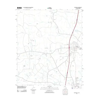
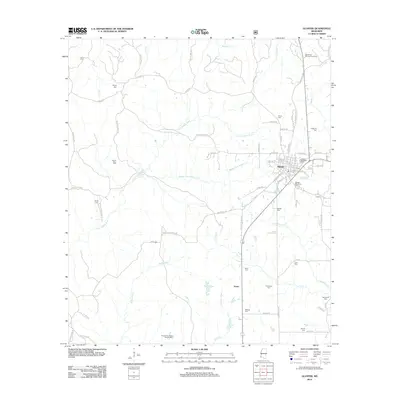
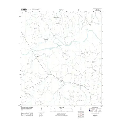
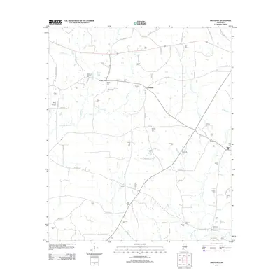
(102)- 2000 Map of Homochitto, 2002 Print
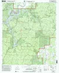 2000 Homochitto2002 Print · USGSAmite and Franklin Counties at the turn of the millennium are captured here as a landscape of timber and tradition. Researchers can trace rural lineages through sites like Bunkley Cem, Oak Grove Ch, and the small settlement of Oxford.
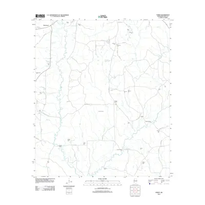
 - 2000 Map of Crosby, 2002 Print
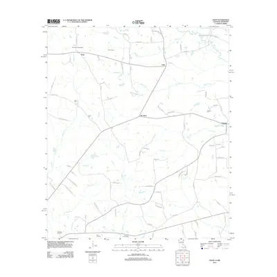
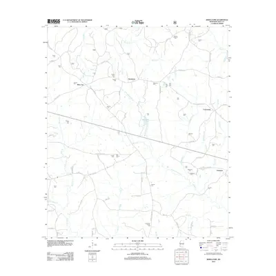
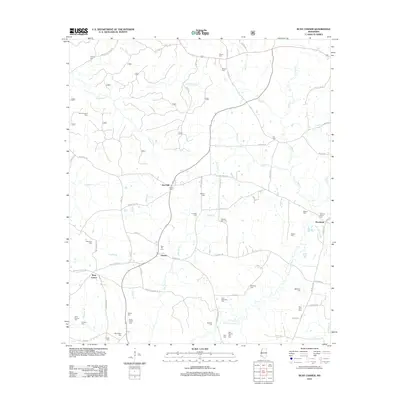
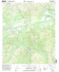 2000 Crosby2002 Print · USGSThe pine-heavy borderlands of Amite and Wilkinson counties are captured here at the turn of the millennium. Researchers can trace rural lineages through numerous small burial grounds like Lusk Cem and remote congregations at Mt Nebo Ch or Royal Chapel.
 - 2012 Map of Liverpool, 2012 Print
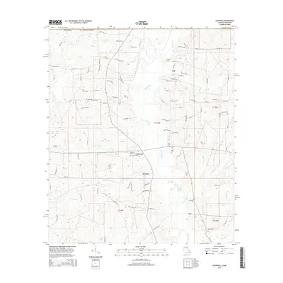
 2012 Liverpool2012 Print · USGSCovers Amite County, including Liverpool, Easleyville, and other nearby areas
 - 2012 Map of Chipola, 2012 Print
 2012 Chipola2012 Print · USGSCovers Amite County, including Coleman Town, Darlington, and other nearby areas
 - 2012 Map of Kentwood, 2012 Print
 2012 Kentwood2012 Print · USGSCovers Amite County, including Kentwood, Tangipahoa, and other nearby areas
 - 2012 Map of Felps, 2012 Print
 2012 Felps2012 Print · USGSCovers Amite County, including Felixville, Teddy, and other nearby areas
 - 2012 Map of Centreville, 2012 Print
 2012 Centreville2012 Print · USGSCovers Amite County, including Centreville, Whitaker, and other nearby areas
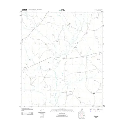
 - 2012 Map of Homochitto, 2012 Print
 2012 Homochitto2012 Print · USGSCovers Amite County, including Eunice, O'Neil, and other nearby areas
 - 2012 Map of Gloster, 2012 Print
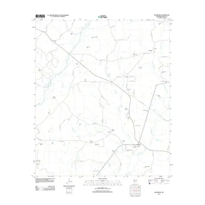
 2012 Gloster2012 Print · USGSCovers Amite County, including Gloster, Tatum, and other nearby areas
 - 2012 Map of Bewelcome, 2012 Print
 2012 Bewelcome2012 Print · USGSCovers Amite County, including Gloster, Bewelcome, and other nearby areas
 - 2012 Map of Peoria, 2012 Print
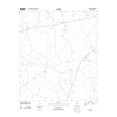
 2012 Peoria2012 Print · USGSCovers Amite County, including Hebron, Glading, and other nearby areas
 - 2012 Map of Auburn, 2012 Print
 2012 Auburn2012 Print · USGSCovers Amite County, including McComb, Auburn, and other nearby areas
 - 2012 Map of Crosby, 2012 Print
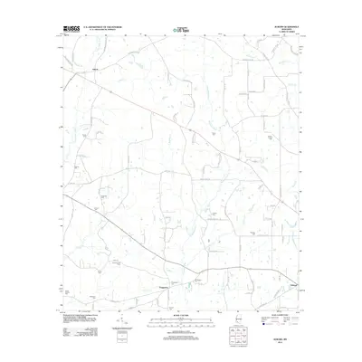
 2012 Crosby2012 Print · USGSCovers Amite County, including Stephenson, Freewoods, and other nearby areas
 - 2012 Map of Busy Corner, 2012 Print
 2012 Busy Corner2012 Print · USGSCovers Amite County, including Zion Hill, Brookside, and other nearby areas
 - 2012 Map of Berwick, 2012 Print
 2012 Berwick2012 Print · USGSCovers Amite County, including Ariel, Berwick, and other nearby areas
 - 2012 Map of Lake Tangipahoa, 2012 Print
 2012 Lake Tangipahoa2012 Print · USGSCovers Amite County, including McComb, McElveen, and other nearby areas
 - 2012 Map of Terrys Creek, 2012 Print
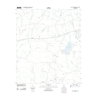
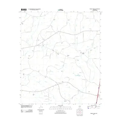 2012 Terrys Creek2012 Print · USGSCovers Amite County, including Terrys Creek, Pike County, and other nearby areas
 - 2012 Map of Liberty, 2012 Print
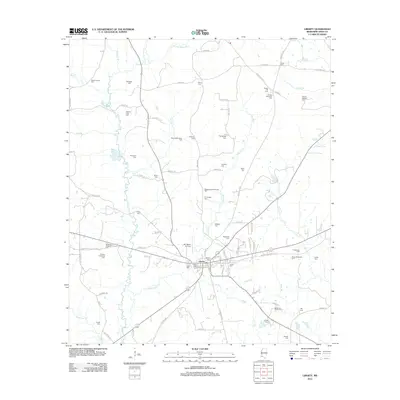 2012 Liberty2012 Print · USGSCovers Amite County, including Liberty, United States, and other nearby areas
 - 2012 Map of Gillsburg, 2012 Print
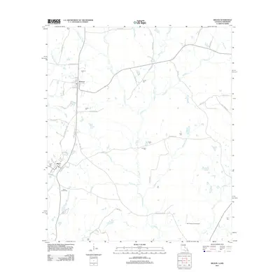
 2012 Gillsburg2012 Print · USGSCovers Amite County, including Huron, Gillsburg, and other nearby areas
 - 2012 Map of Wilson, 2012 Print
 2012 Wilson2012 Print · USGSCovers Amite County, including Clinton, Wilson, and other nearby areas
 - 2012 Map of Smithdale, 2012 Print
 2012 Smithdale2012 Print · USGSCovers Amite County, including Hustler, Mars Hill, and other nearby areas
 - 2012 Map of Street, 2012 Print
 2012 Street2012 Print · USGSCovers Amite County, including Beechwood, United States, and other nearby areas
 - 2015 Map of Chipola, 2015 Print
 2015 Chipola2015 Print · USGSCovers Amite County, including Coleman Town, Darlington, and other nearby areas
 - 2015 Map of Kentwood, 2015 Print
 2015 Kentwood2015 Print · USGSCovers Amite County, including Kentwood, Tangipahoa, and other nearby areas
 - 2015 Map of Liverpool, 2015 Print
 2015 Liverpool2015 Print · USGSCovers Amite County, including Liverpool, Easleyville, and other nearby areas
Showing maps 1-25 of 102
Top cities of Amite County
Frequently asked questions
- What are the different types of historical maps available for Amite County?
- What is the oldest map of Amite County?
- Where can I purchase historical maps of Amite County for my home or office?
- Where can I download high-res historical maps of Amite County?
- Are there historical topographic maps available for Amite County?
- Is there historical aerial imagery available for Amite County?
- Where are historical maps of Amite County sourced from?