2020s Maps of Amite County, Mississippi
Explore 40 historic maps of Amite County from the 2020s. These maps offer a rare glimpse into what life looked like during the 2020s — showing old roads, neighborhoods, homes, and landmarks that have changed or disappeared over time.
Whether you're researching your family's past, planning a metal detecting trip, or studying how Amite County's landscape evolved across the 2020s, these high-resolution maps are a powerful tool for exploring the history of this region.
- Focus on a specific era: All maps on this page are from the 2020s, giving you a focused view of this time period.
- See what’s changed: Compare century-old streets, trails, and buildings to today's modern landscape using overlays and satellite layers.
- Research with precision: Use these maps for genealogy, historical research, land use analysis, or educational projects.
- View, download, or print: Maps are fully viewable online in high resolution, and can be downloaded or printed for your own records.
Start exploring Amite County's history through authentic maps from the 2020s. This is your window into the past.
Amite County, MS maps
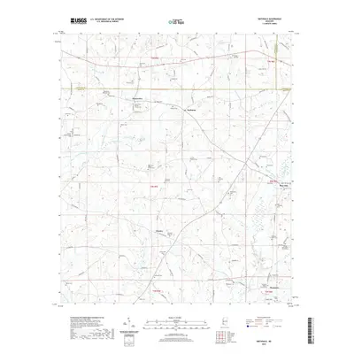
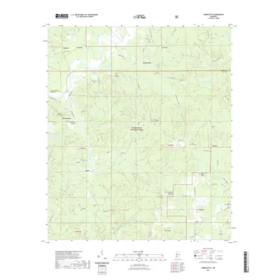
(40)- 2020 Map of Chipola, 2020 Print
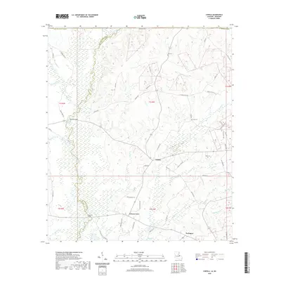 2020 Chipola2020 Print · USGSCovers Amite County, including Coleman Town, Darlington, and other nearby areas
 - 2020 Map of Felps, 2020 Print
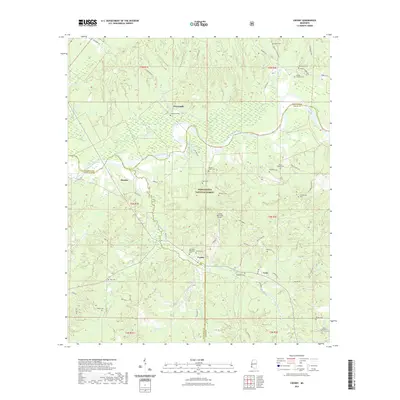
 2020 Felps2020 Print · USGSCovers Amite County, including Felixville, Teddy, and other nearby areas
 - 2020 Map of Liverpool, 2020 Print
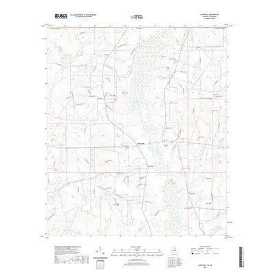 2020 Liverpool2020 Print · USGSCovers Amite County, including Liverpool, Easleyville, and other nearby areas
 - 2020 Map of Wilson, 2020 Print
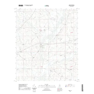
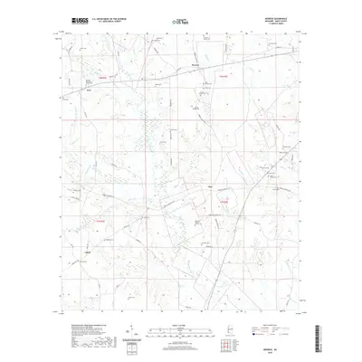
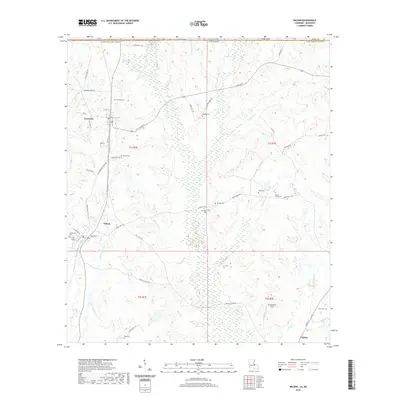 2020 Wilson2020 Print · USGSCovers Amite County, including Clinton, Wilson, and other nearby areas
 - 2020 Map of Kentwood, 2020 Print
 2020 Kentwood2020 Print · USGSCovers Amite County, including Kentwood, Tangipahoa, and other nearby areas
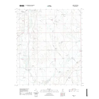
 - 2020 Map of Liberty, 2020 Print
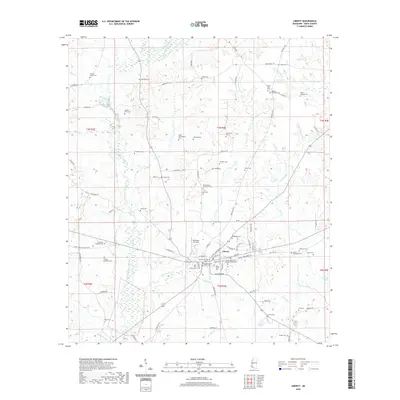 2020 Liberty2020 Print · USGSCovers Amite County, including Liberty, United States, and other nearby areas
 - 2020 Map of Terrys Creek, 2020 Print
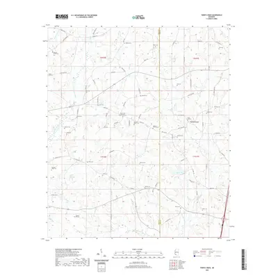 2020 Terrys Creek2020 Print · USGSCovers Amite County, including Terrys Creek, Pike County, and other nearby areas
 - 2020 Map of Peoria, 2020 Print
 2020 Peoria2020 Print · USGSCovers Amite County, including Hebron, Glading, and other nearby areas
 - 2020 Map of Lake Tangipahoa, 2020 Print
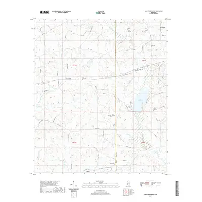 2020 Lake Tangipahoa2020 Print · USGSCovers Amite County, including McComb, McElveen, and other nearby areas
 - 2020 Map of Smithdale, 2020 Print
 2020 Smithdale2020 Print · USGSCovers Amite County, including Hustler, Mars Hill, and other nearby areas
 - 2020 Map of Berwick, 2020 Print
 2020 Berwick2020 Print · USGSCovers Amite County, including Ariel, Berwick, and other nearby areas
 - 2020 Map of Gillsburg, 2020 Print
 2020 Gillsburg2020 Print · USGSCovers Amite County, including Huron, Gillsburg, and other nearby areas
 - 2020 Map of Street, 2020 Print
 2020 Street2020 Print · USGSCovers Amite County, including Beechwood, United States, and other nearby areas
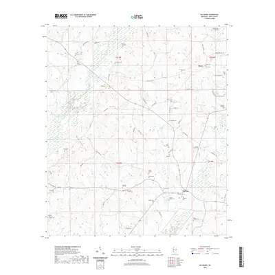
 - 2020 Map of Auburn, 2020 Print
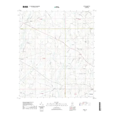 2020 Auburn2020 Print · USGSCovers Amite County, including McComb, Auburn, and other nearby areas
 - 2021 Map of Centreville, 2021 Print
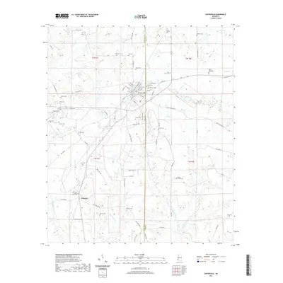 2021 Centreville2021 Print · USGSCovers Amite County, including Centreville, Whitaker, and other nearby areas
 - 2021 Map of Bewelcome, 2021 Print
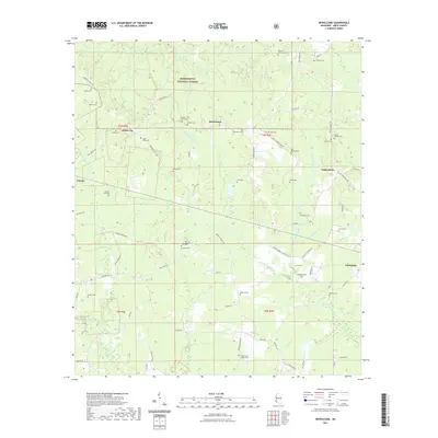 2021 Bewelcome2021 Print · USGSCovers Amite County, including Gloster, Bewelcome, and other nearby areas
 - 2021 Map of Busy Corner, 2021 Print
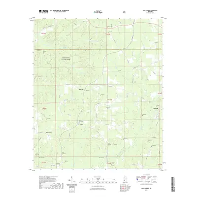 2021 Busy Corner2021 Print · USGSCovers Amite County, including Zion Hill, Brookside, and other nearby areas
 - 2021 Map of Homochitto, 2021 Print
 2021 Homochitto2021 Print · USGSCovers Amite County, including Eunice, O'Neil, and other nearby areas
 - 2021 Map of Crosby, 2021 Print
 2021 Crosby2021 Print · USGSCovers Amite County, including Stephenson, Freewoods, and other nearby areas
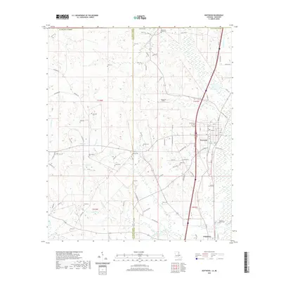
 - 2021 Map of Gloster, 2021 Print
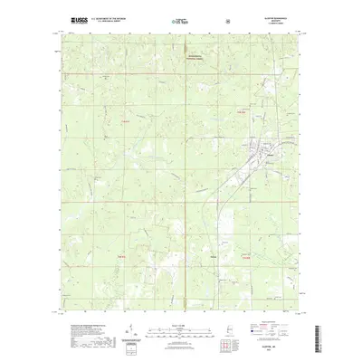 2021 Gloster2021 Print · USGSCovers Amite County, including Gloster, Tatum, and other nearby areas
 - 2024 Map of Kentwood, 2024 Print
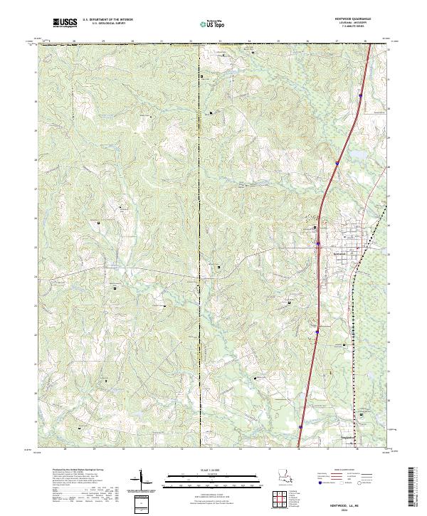 2024 Kentwood2024 Print · USGSThe Louisiana-Mississippi borderlands come into focus here, showing the rural communities of the Florida Parishes in recent years. Genealogists can trace family landmarks and numerous burial sites including Varnado Cem, Lambert Cem, and the notable Camp Moore Confederate Cem.
 - 2024 Map of Felps, 2024 Print
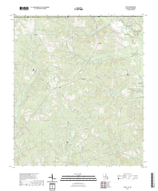 2024 Felps2024 Print · USGSEast Feliciana Parish in the early twenty-first century maintains its rural character through small crossroads like Woodland and Felixville. Researchers can trace local lineage through several documented sites including Kent Cem and Beech Grove Baptist Church Cem.
 - 2024 Map of Liverpool, 2024 Print
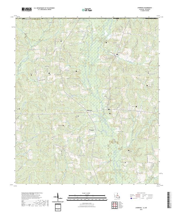 2024 Liverpool2024 Print · USGSSt. Helena Parish at the present day remains a landscape of quiet creek-side settlements and deep-rooted family histories. Researchers can trace numerous local burial grounds and watercourses, including Old Venable Cem, Bridges Cem, and the winding Tickfaw River.
 - 2024 Map of Chipola, 2024 Print
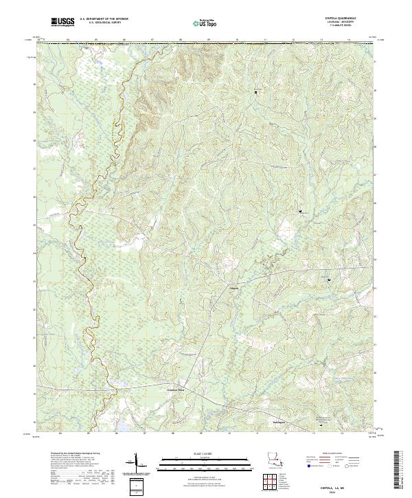 2024 Chipola2024 Print · USGSSt. Helena Parish and East Feliciana Parish remain deeply rural in this contemporary view of the north Louisiana borderlands. Genealogists and local historians can trace family roots through sites like Black Creek African Methodist Episcopal Church Cem, Kemp Cem, and the settlement of Chipola.
 - 2024 Map of Smithdale, 2024 Print
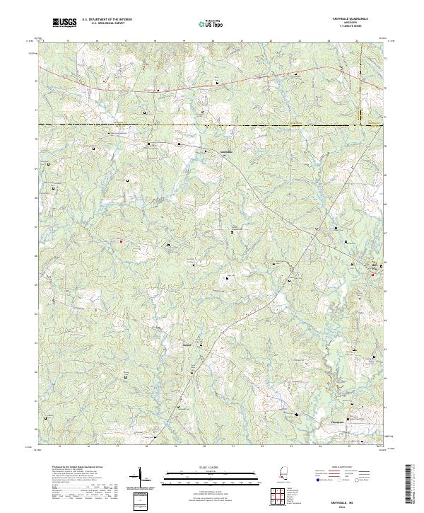 2024 Smithdale2024 Print · USGSThe rolling lands along the Franklin and Amite county line come alive through this survey of Smithdale and its surrounding communities. Researchers can trace family history at the Wroten and Carraway Cem or visit the Spring Hill Baptist Church near Hustler.
Showing maps 1-25 of 40
Top cities of Amite County
Frequently asked questions
- What are the different types of historical maps available for Amite County?
- What is the oldest map of Amite County?
- Where can I purchase historical maps of Amite County for my home or office?
- Where can I download high-res historical maps of Amite County?
- Are there historical topographic maps available for Amite County?
- Is there historical aerial imagery available for Amite County?
- Where are historical maps of Amite County sourced from?