2000s (21st Century) Maps of Clarke County, Mississippi
Explore 95 historic maps of Clarke County from the 2000s (21st Century). These maps offer a rare glimpse into what life looked like during the 2000s — showing old roads, neighborhoods, homes, and landmarks that have changed or disappeared over time.
Whether you're researching your family's past, planning a metal detecting trip, or studying how Clarke County's landscape evolved across the 2000s, these high-resolution maps are a powerful tool for exploring the history of this region.
- Focus on a specific era: All maps on this page are from the 2000s, giving you a focused view of this time period.
- See what’s changed: Compare century-old streets, trails, and buildings to today's modern landscape using overlays and satellite layers.
- Research with precision: Use these maps for genealogy, historical research, land use analysis, or educational projects.
- View, download, or print: Maps are fully viewable online in high resolution, and can be downloaded or printed for your own records.
Start exploring Clarke County's history through authentic maps from the 2000s. This is your window into the past.
Clarke County, MS maps
(95)- 2011 Map of Hinton, 2011 Print
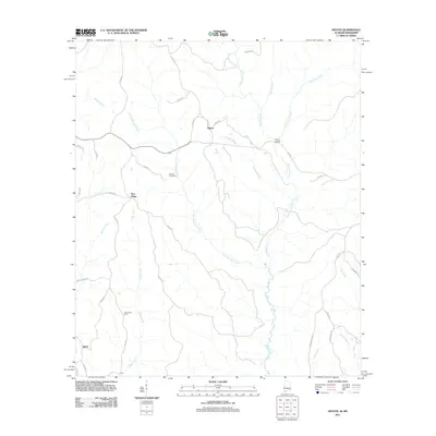 2011 Hinton2011 Print · USGSChoctaw County at the start of the 2010s reveals a quiet landscape of timberlands and creek-side settlements. Researchers can trace family ties at Antioch Cemetery or locate landmarks like Haney Bridge and the community of Shiloh.
 - 2011 Map of Melvin, 2011 Print
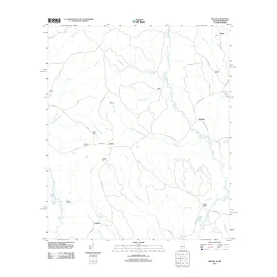 2011 Melvin2011 Print · USGSChoctaw County’s industrial and rural life converge here in the early twenty-first century, showing a landscape shaped by petroleum and creek-side settlements. Researchers can trace local genealogy at Brightwater Cemetery or locate active energy sites like the Melvin Oil Field and Bucatunna Creek Oil Field.
 - 2011 Map of Yantley, 2011 Print
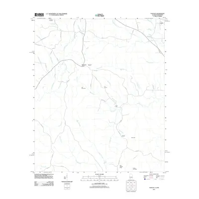 2011 Yantley2011 Print · USGSChoctaw County at the start of the 2010s reveals a rural landscape shaped by the winding Bogue Chitto and local ridges. Researchers can locate family landmarks like Mount Zion Cemetery and McLendon Cemetery or trace the early paths of Hog Wallow Ridge.
 - 2012 Map of Shubuta, 2012 Print
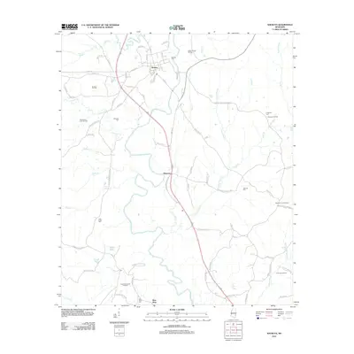 2012 Shubuta2012 Print · USGSClarke County's river-bottom lands and timbered ridges are captured here during a period of sustained energy production and rural settlement. Genealogists can locate several historic burial sites like Menasco Cem and Clear Creek Cem, while tracing the landscape of the Shubuta Oil Field.
 - 2012 Map of Carmichael, 2012 Print
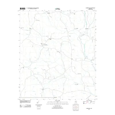 2012 Carmichael2012 Print · USGSEastern Mississippi's timber and oil lands are shown here in the early twenty-first century, spanning the rural areas near Langsdale. Genealogists and researchers can locate several cemeteries including Mannassa Cem and Providence Cem, alongside landmarks like Andrews Chapel.
 - 2012 Map of Heidelberg SW, 2012 Print
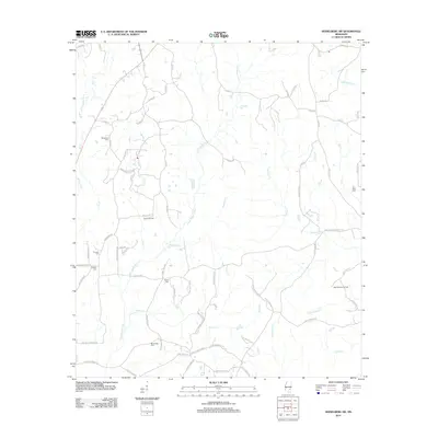 2012 Heidelberg SW2012 Print · USGSJasper County is captured here in the early twenty-first century, showing a landscape defined by creek drainages and petroleum extraction. Local historians can trace old family sites and burial grounds like Choctaw Cem, Florence Cem, and the West Eucutta Oil Field.
 - 2012 Map of Hale, 2012 Print
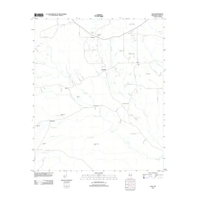 2012 Hale2012 Print · USGSClarke County's rural timber and oil lands come into focus in the early twenty-first century as petroleum development expands around established settlements. Researchers can locate family heritage sites at Harmony Cem and Salem Cem or trace the creeks near Dedwylder and Wilson Bridge.
 - 2012 Map of De Soto, 2012 Print
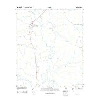 2012 De Soto2012 Print · USGSClarke County's river-bottom landscape is captured here in the early twenty-first century, centered on the Chickasawhay River. Family historians can locate several rural burial sites like Covington Cem and Heard Cem, or trace the industrial footprint of the North Shubuta Oil Field.
 - 2012 Map of Matherville, 2012 Print
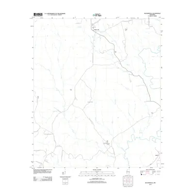 2012 Matherville2012 Print · USGSMatherville and the surrounding Wayne County woodlands are captured here during a period of active energy production and rural persistence. Genealogists and local historians can trace family-named sites like Gandy Cem and the Cypress Oil Field along the banks of Buckatunna Cr.
 - 2012 Map of Eucutta, 2012 Print
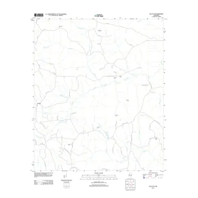 2012 Eucutta2012 Print · USGSWayne County's oil-producing landscape is revealed in this early twenty-first-century survey. Researchers can trace the legacy of family-named landmarks and industries, from the Eucutta Oil Field to quiet burial grounds like Evergreen Cem and Bethlehem Cem.
 - 2012 Map of Heidelberg, 2012 Print
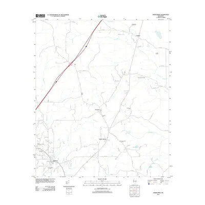 2012 Heidelberg2012 Print · USGSJasper County oil country comes into focus in this early twenty-first-century survey of the Heidelberg area. Researchers can locate specific family and community sites like Vossburg Cem, the Heidelberg Lookout Tower, and the waters of Lake Waukaway.
 - 2012 Map of Wautubbee, 2012 Print
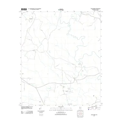 2012 Wautubbee2012 Print · USGSMississippi's piney woods and river bottoms come to life in this Clarke County survey from the early 2010s. Researchers can locate numerous historic burial grounds including Old Souenlovie Cem, trace the Chickasawhay River, and map the extent of the Pachuta Oil Field.
 - 2012 Map of Sykes, 2012 Print
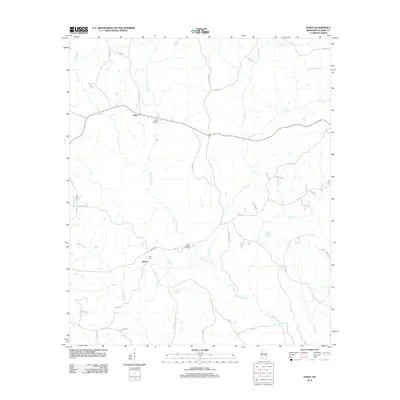 2012 Sykes2012 Print · USGSClarke County's rural timber and creek lands are documented here in the early 2010s, centered on the settlements of Sykes and Linton. Researchers can trace the grounds of Elim Cem or locate historic crossings at Davis Bridge and Slay Bridge.
 - 2012 Map of Rose Hill, 2012 Print
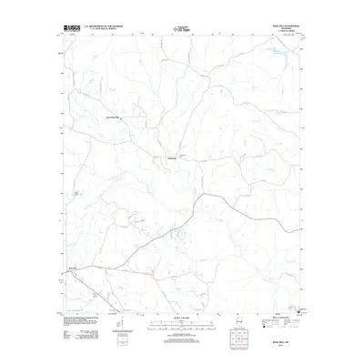 2012 Rose Hill2012 Print · USGSJasper County in the early twenty-first century remains a landscape of quiet rural settlements and intertwined waterways. Genealogists and local historians can trace family locations near Rose Hill or locate the Fellowship Cem and Green Valley Cem along the banks of Souenlouie Cr.
 - 2012 Map of Pachuta, 2012 Print
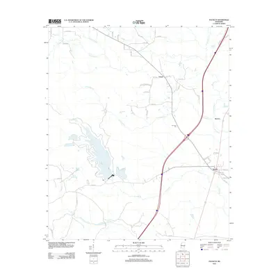 2012 Pachuta2012 Print · USGSEastern Mississippi's rural landscape is captured here in the early twenty-first century, centered on the historic crossroads of Pachuta. Genealogists and local historians can trace family locations near Herrington Cem or follow the waters of Phalti Lakes and Shubuta Cr.
 - 2012 Map of Sable, 2012 Print
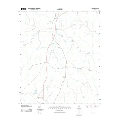 2012 Sable2012 Print · USGSClarke County at the start of the 2010s shows a landscape of oil production and rural resilience. Researchers can trace family history through local sites like Devoe Cem and Chancellor Cem or locate the Francis Creek Oil Field.
 - 2012 Map of Stonewall, 2012 Print
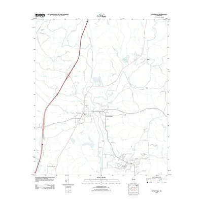 2012 Stonewall2012 Print · USGSIn the early twenty-first century, the river communities of Stonewall and Enterprise maintained their distinct character at the confluence of the Chickasawhay River. Genealogists and local historians can trace legacy sites like Zion Chapel Cem, the scenic drop at Dunns Falls, and the small settlement of Basic.
 - 2012 Map of Snell, 2012 Print
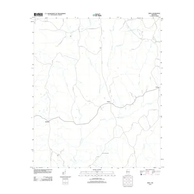 2012 Snell2012 Print · USGSClarke County timberlands and rural settlements are captured in the early twenty-first century, showing a landscape defined by creeks and family-named roads. Genealogists can locate family sites and burial grounds like Hays Cem and McRae Cem or trace the early paths of Middleton and Snell.
 - 2012 Map of Quitman, 2012 Print
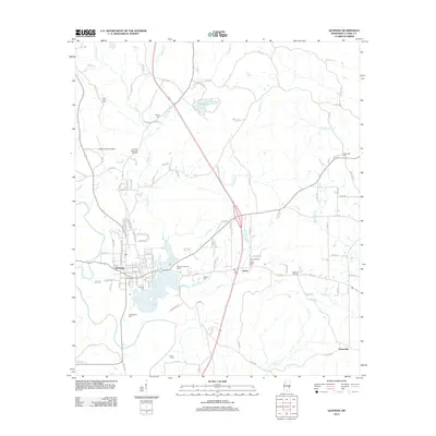 2012 Quitman2012 Print · USGSQuitman and the Chickasawhay River valley are captured in this 2010s survey, detailing a landscape of small communities and rural industries. Genealogists and local historians can locate several burial sites including Confederate Cem, Sullers Cem, and Pisgah Cem.
 - 2014 Map of Hinton, 2014 Print
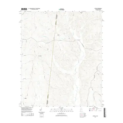 2014 Hinton2014 Print · USGSChoctaw County at the Alabama-Mississippi border is mapped here in the early twenty-first century, showing a landscape shaped by creek systems and rural settlements. Trace family roots and local history through features like Antioch Cem, the community of Hinton, and the historic crossing at Haney Bridge.
 - 2014 Map of Melvin, 2014 Print
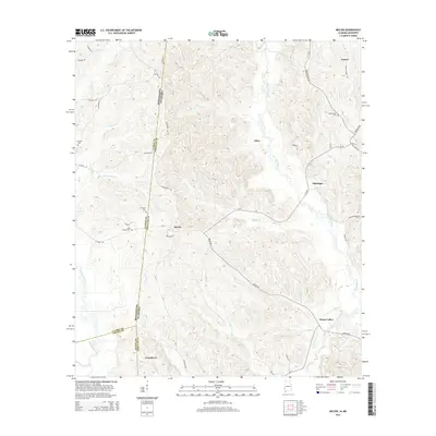 2014 Melvin2014 Print · USGSThe Alabama-Mississippi border comes to life in this mid-2010s survey of Choctaw and Clarke counties. Researchers can trace rural lineages through landmarks like Zion Chapel Cem, Evansboro, and the winding banks of Puss Cuss Creek.
 - 2014 Map of Yantley, 2014 Print
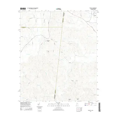 2014 Yantley2014 Print · USGSThe Alabama-Mississippi state line divides this quiet timber and creek country during the early twenty-first century. Genealogists and local historians can locate rural landmarks such as Mt Zion Cem, the heights of Bill Mtn, and the small settlement of Cyril.
 - 2015 Map of Quitman, 2015 Print
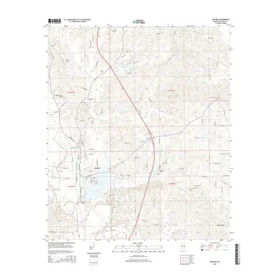 2015 Quitman2015 Print · USGSClarke County life at the midpoint of the 2010s is captured here, centered on the riverfront town of Quitman. Local history researchers can locate family sites at Confederate Cemetery, Archusa Springs, or the outlying community of Davis.
 - 2015 Map of Stonewall, 2015 Print
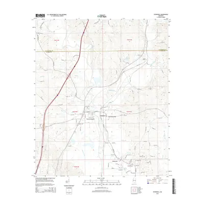 2015 Stonewall2015 Print · USGSClarke County and the river towns of Enterprise and Stonewall appear here during the mid-2010s. Researchers can trace family sites at Concord Cem and Kramer Cem or follow the water from Dunns Falls to the Chickasawhay River.
 - 2015 Map of Heidelberg SW, 2015 Print
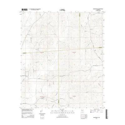 2015 Heidelberg SW2015 Print · USGSJasper and Jones counties remain largely rural in the mid-2010s, centered on the headwaters of the Bogue Homo. Family historians can trace local roots through several burial sites like Choctaw Cem, McFarland Cem, and Zion Rest Cem.
Showing maps 1-25 of 95
Top cities of Clarke County
- Quitman historical maps
- Stonewall historical maps
- Shubuta historical maps
- Enterprise historical maps
- Pachuta historical maps
Frequently asked questions
- What are the different types of historical maps available for Clarke County?
- What is the oldest map of Clarke County?
- Where can I purchase historical maps of Clarke County for my home or office?
- Where can I download high-res historical maps of Clarke County?
- Are there historical topographic maps available for Clarke County?
- Is there historical aerial imagery available for Clarke County?
- Where are historical maps of Clarke County sourced from?