2000s (21st Century) Maps of Copiah County, Mississippi
Explore 106 historic maps of Copiah County from the 2000s (21st Century). These maps offer a rare glimpse into what life looked like during the 2000s — showing old roads, neighborhoods, homes, and landmarks that have changed or disappeared over time.
Whether you're researching your family's past, planning a metal detecting trip, or studying how Copiah County's landscape evolved across the 2000s, these high-resolution maps are a powerful tool for exploring the history of this region.
- Focus on a specific era: All maps on this page are from the 2000s, giving you a focused view of this time period.
- See what’s changed: Compare century-old streets, trails, and buildings to today's modern landscape using overlays and satellite layers.
- Research with precision: Use these maps for genealogy, historical research, land use analysis, or educational projects.
- View, download, or print: Maps are fully viewable online in high resolution, and can be downloaded or printed for your own records.
Start exploring Copiah County's history through authentic maps from the 2000s. This is your window into the past.
Copiah County, MS maps
(106)- 2000 Map of Barlow, 2002 Print
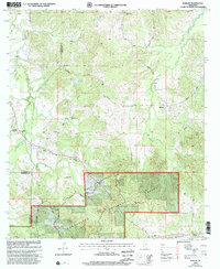 2000 Barlow2002 Print · USGSThe rural hills of Copiah County are captured here at the turn of the millennium. Researchers can trace family history through numerous remote sites like Shelton Cem, Weeks Cem, and Macedonia Ch.
 - 2012 Map of Smyrna, 2012 Print
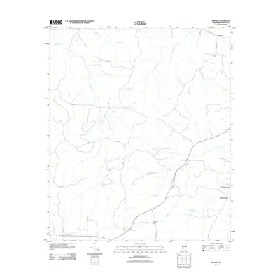 2012 Smyrna2012 Print · USGSIn the early twenty-first century, this Copiah County landscape retains its traditional rural character defined by old settlements and waterway networks. Genealogists and local historians can trace family locations near Smyrna Cem, Bowerton, and the historic Old Port Gibson Rd.
 - 2012 Map of Barlow, 2012 Print
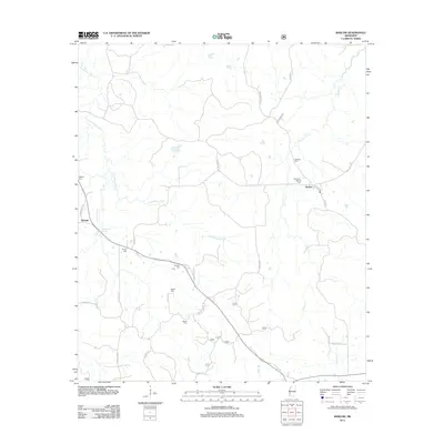 2012 Barlow2012 Print · USGSInland Copiah County is documented here during the early twenty-first century, showcasing a rural landscape defined by family settlements and stream valleys. Genealogists can trace local history through numerous burial sites like Rehobeth-Barlow Cem and Weeks Cem near Little Bayou Pierre.
 - 2012 Map of Dentville, 2012 Print
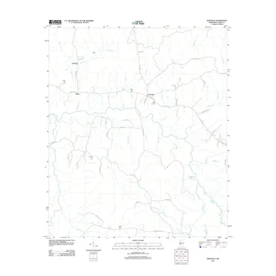 2012 Dentville2012 Print · USGSMississippi's Copiah County is captured here in the early 2010s, showing a rural landscape defined by the winding path of Bayou Pierre. Genealogists and local historians can trace family roots through several landmarks like Pleasant Hill Cem, Hoodtown, and Pine Bluff Cem.
 - 2012 Map of Caseyville, 2012 Print
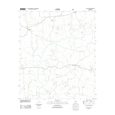 2012 Caseyville2012 Print · USGSLincoln County in the early twenty-first century reveals a landscape defined by the winding Homochitto River and its rural settlements. Genealogists and local historians can trace family locations through sites like Ben Salem Cem, Allen, and the Pleasant Hill Lookout Tower.
 - 2012 Map of Wesson, 2012 Print
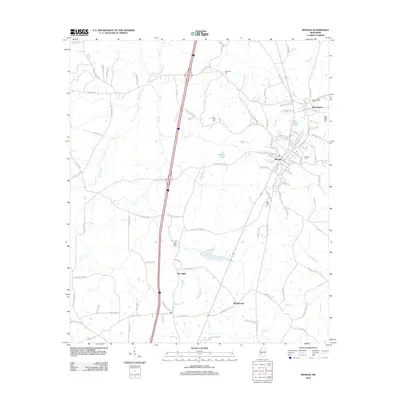 2012 Wesson2012 Print · USGSWesson and the surrounding rail towns appear during the early 2010s at the border of Copiah and Lincoln counties. Researchers can trace family history through several local landmarks like Saint John Cem, the Illinois Central tracks, and New Sight.
 - 2012 Map of Schley, 2012 Print
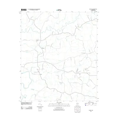 2012 Schley2012 Print · USGSThis rural Mississippi landscape south of Mendenhall is captured in the early 2010s as it centers on the river-fed terrain of Simpson County. Genealogists and local researchers can locate numerous family burial sites and landmarks like Armstrong-Buckley Cem, the Shivers Lookout Tower, and the settlement at Schley.
 - 2012 Map of Dentville NW, 2012 Print
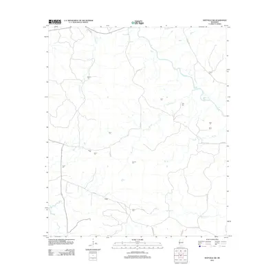 2012 Dentville NW2012 Print · USGSCopiah County is depicted here in the early twenty-first century, showing a rural Mississippi landscape defined by its creek systems and family histories. Genealogists can locate numerous local landmarks including Vaughn Cem, Little Zion Cem, and the settlement of Conn.
 - 2012 Map of Shady Grove, 2012 Print
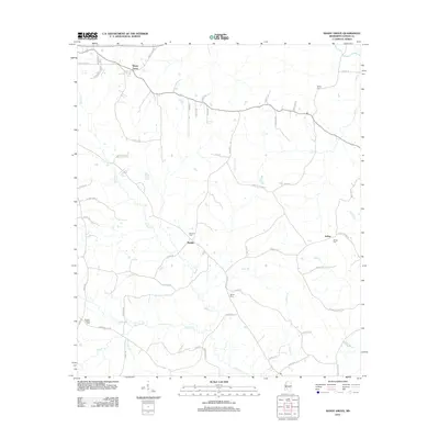 2012 Shady Grove2012 Print · USGSCopiah County in the early twenty-first century remains a landscape of small rural settlements and hidden family history. Genealogists can trace ancestral sites at Bethel Cem and Mullens Cem or follow the waters of Bahala Cr through Sardis.
 - 2012 Map of Stronghope, 2012 Print
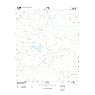 2012 Stronghope2012 Print · USGSThis rural Mississippi landscape in the early 2010s reveals a community built around quiet creeks and historic parish centers. Trace local roots at Stronghope Cem, Woolworth, and Franklin Chapel while exploring the banks of Bahala Cr.
 - 2012 Map of Hazlehurst, 2012 Print
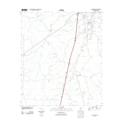 2012 Hazlehurst2012 Print · USGSCopiah County is captured here in the early twenty-first century, centered on the growing street grid and creek-cut lands surrounding Hazlehurst. Genealogists and historians can trace local family landmarks through several documented burial grounds, including Antioch Cem, Spring Hill Cem, and Starling Cem.
 - 2012 Map of Gallman, 2012 Print
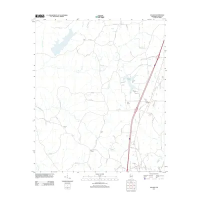 2012 Gallman2012 Print · USGSGallman and the surrounding Copiah County countryside are captured here in the early 2010s. Researchers can trace dozens of family landmarks and community sites, from the Gallman Cem and Damascus Cem to the waters of Lake Copiah.
 - 2012 Map of Midway, 2012 Print
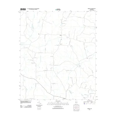 2012 Midway2012 Print · USGSMidway and the rural reaches of Copiah County are shown here in the early twenty-first century. Genealogists and local historians can locate family burial sites like Mercy Seat Cem and Newell Cem or trace the winding course of Bayou Pierre.
 - 2012 Map of Utica West, 2012 Print
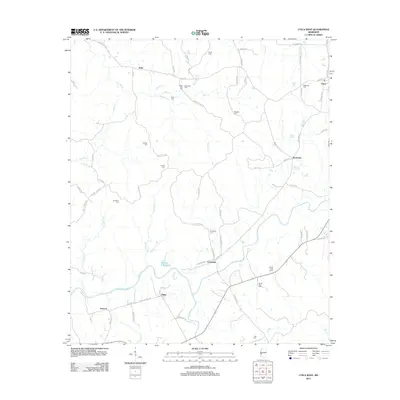 2012 Utica West2012 Print · USGSThe rural landscapes of Hinds County are documented here in the early twenty-first century, showing a region deeply rooted in its family lands. Genealogists can locate numerous burial sites like Ritchey Cem and Griffin Cem alongside small settlements like Myles and Insmore.
 - 2012 Map of Whites, 2012 Print
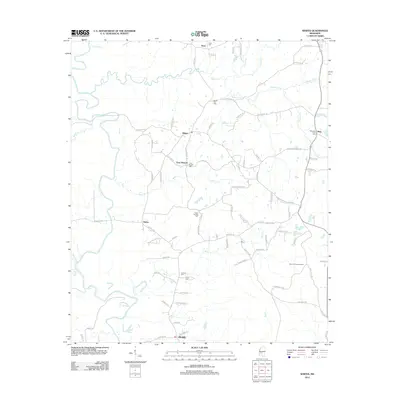 2012 Whites2012 Print · USGSRankin County rural life is preserved here in the early 2010s, showing a landscape defined by the Pearl River and quiet crossroads. Genealogists can trace family connections through numerous sites like Clear Branch Cem, Poplar Springs Cem, and Sinai Cem.
 - 2012 Map of Terry, 2012 Print
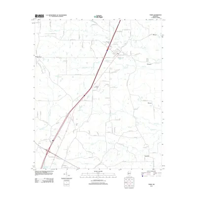 2012 Terry2012 Print · USGSThe town of Terry and its surrounding countryside are captured here in the early twenty-first century as a mix of evolving infrastructure and deep-rooted community landmarks. Researchers can trace family history at the Benevolent Society Cem or locate rural crossroads like Morgans Store and Egypt Hill.
 - 2012 Map of Dabney Crossroads, 2012 Print
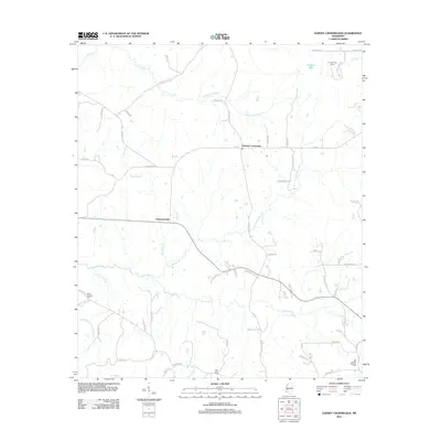 2012 Dabney Crossroads2012 Print · USGSHinds County rural life at the start of the 2010s is defined by its winding creeks and scattered crossroads settlements. Family history researchers can locate several notable burial grounds, including Miller Springs Cemetery and Old Crystal Springs Cemetery.
 - 2012 Map of Utica East, 2012 Print
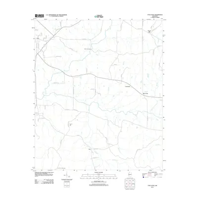 2012 Utica East2012 Print · USGSHinds County near the town of Utica is documented here in the early twenty-first century. Researchers can trace rural landmarks from the Hoodtown Lookout Tower to the Morning Star Cem and crossing points like the Rather Ford Bridge.
 - 2012 Map of Oma, 2012 Print
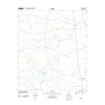 2012 Oma2012 Print · USGSLawrence County settlements and family farmsteads are documented in this recent survey of the Mississippi countryside. Genealogists and local historians can trace the geography around Oma, Sontag, and Fair Hill Cem along the banks of Bahala Cr.
 - 2012 Map of Hopewell, 2012 Print
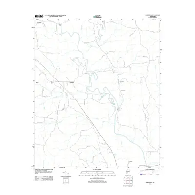 2012 Hopewell2012 Print · USGSThis Mississippi river valley landscape south of Jackson is centered on the Pearl River during the early twenty-first century. Genealogists and local researchers can trace numerous local burial sites including Zion Hill Cem, Brushy Creek Cem, and the community of Hopewell.
 - 2012 Map of Georgetown, 2012 Print
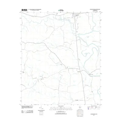 2012 Georgetown2012 Print · USGSGeorgetown and the surrounding Copiah County riverlands are documented here in the early twenty-first century. Researchers can trace local heritage through numerous burial sites like Poplar Springs Cem or locate landmarks such as the Rockport Bridge and Ashley Lookout Tower.
 - 2012 Map of Crystal Springs, 2012 Print
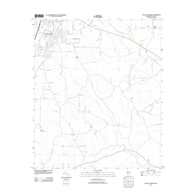 2012 Crystal Springs2012 Print · USGSCrystal Springs and the surrounding Mississippi countryside are shown in detail during the early twenty-first century. Researchers can trace family history through numerous local sites including Poplar Springs Cem, Beech Grove, and Chautauqua Lake.
 - 2015 Map of Smyrna, 2015 Print
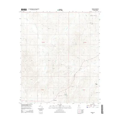 2015 Smyrna2015 Print · USGSCopiah County in the early twenty-first century remains a landscape of deep creek valleys and quiet rural crossroads. Researchers can locate family landmarks like Smyrna Cem, trace the winding Old Port Gibson Rd, and find the historic community of Bowerton.
 - 2015 Map of Wesson, 2015 Print
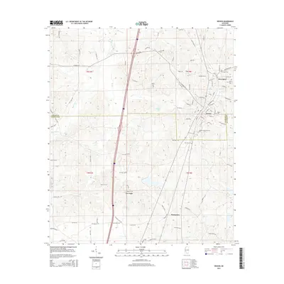 2015 Wesson2015 Print · USGSWesson and the surrounding Piney Woods are captured here in the mid-2010s, showcasing the area's mix of academic life and rural heritage. Researchers can locate family sites and landmarks like Copiah-Lincoln Community Coll, the Wesson Cem, and the nearby settlement of Beauregard.
 - 2015 Map of Caseyville, 2015 Print
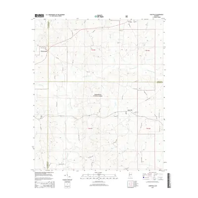 2015 Caseyville2015 Print · USGSSouthwestern Mississippi forest lands and small settlements are documented here in the mid-2010s. Researchers can locate family burial sites at Ben Salem Cem and Mount Moriah Cem or trace the winding course of the Homochitto River.
Showing maps 1-25 of 106
Top cities of Copiah County
- Crystal Springs historical maps
- Hazlehurst historical maps
- Wesson historical maps
- Georgetown historical maps
- Beauregard historical maps
Frequently asked questions
- What are the different types of historical maps available for Copiah County?
- What is the oldest map of Copiah County?
- Where can I purchase historical maps of Copiah County for my home or office?
- Where can I download high-res historical maps of Copiah County?
- Are there historical topographic maps available for Copiah County?
- Is there historical aerial imagery available for Copiah County?
- Where are historical maps of Copiah County sourced from?