2000s (21st Century) Maps of Franklin County, Mississippi
Explore 84 historic maps of Franklin County from the 2000s (21st Century). These maps offer a rare glimpse into what life looked like during the 2000s — showing old roads, neighborhoods, homes, and landmarks that have changed or disappeared over time.
Whether you're researching your family's past, planning a metal detecting trip, or studying how Franklin County's landscape evolved across the 2000s, these high-resolution maps are a powerful tool for exploring the history of this region.
- Focus on a specific era: All maps on this page are from the 2000s, giving you a focused view of this time period.
- See what’s changed: Compare century-old streets, trails, and buildings to today's modern landscape using overlays and satellite layers.
- Research with precision: Use these maps for genealogy, historical research, land use analysis, or educational projects.
- View, download, or print: Maps are fully viewable online in high resolution, and can be downloaded or printed for your own records.
Start exploring Franklin County's history through authentic maps from the 2000s. This is your window into the past.
Franklin County, MS maps
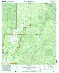
(84)- 2000 Map of Homochitto, 2002 Print
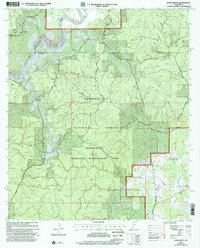 2000 Homochitto2002 Print · USGSAmite and Franklin Counties at the turn of the millennium are captured here as a landscape of timber and tradition. Researchers can trace rural lineages through sites like Bunkley Cem, Oak Grove Ch, and the small settlement of Oxford.
 - 2000 Map of Roxie, 2002 Print
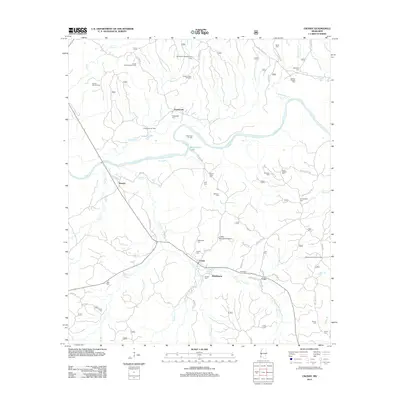
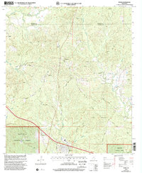 2000 Roxie2002 Print · USGSFranklin and Jefferson Counties are documented here at the turn of the century as the southern forest landscape met rural farmstead life. Genealogists can trace family ties at Old Rose Hill Cem, Daughters Temple, and the settlement of Hamburg.
 - 2000 Map of Garden City, 2002 Print
 2000 Garden City2002 Print · USGSWilkinson and Adams Counties are shown at the turn of the millennium as the forest and river systems remain the area's defining features. Researchers can locate early family-named branches and rural landmarks like Perrytown Ch, Ireland, and Buffalo Lookout.
 - 2000 Map of Meadville, 2002 Print
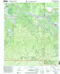
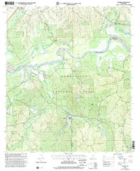
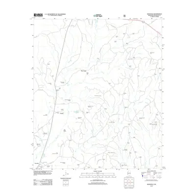
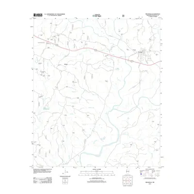
 2000 Meadville2002 Print · USGSMeadville and the surrounding Franklin County timberlands are shown here at the turn of the millennium. Genealogists can locate family landmarks like Moore Cem, New Hope Ch, and the local Franklin County Hospital.
 - 2000 Map of Knoxville, 2002 Print
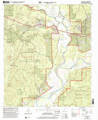
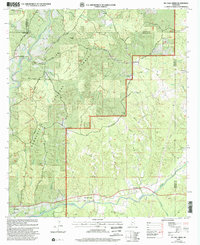
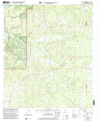
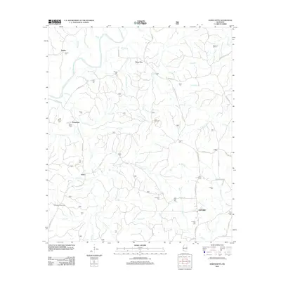
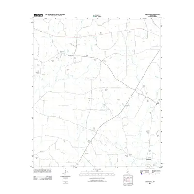
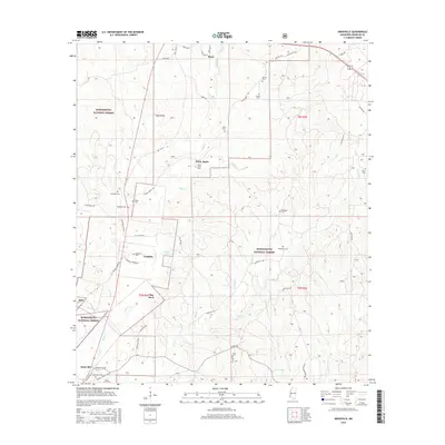
 2000 Knoxville2002 Print · USGSFranklin County in the years before the new millennium shows a landscape defined by the intersection of forest management and oil extraction. Genealogists can trace family names and local landmarks like White Apple, McMillian Cem, and the North Knoxville Oil Field.
 - 2000 Map of McCall Creek, 2002 Print
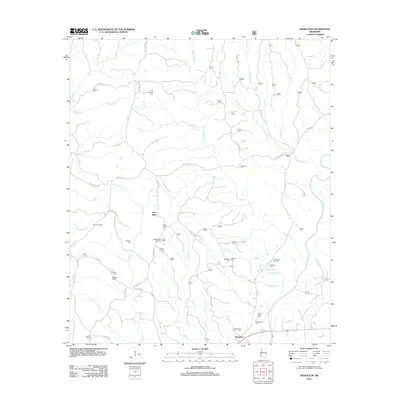
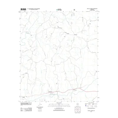
 2000 McCall Creek2002 Print · USGSSouthwest Mississippi's timber country is documented here at the turn of the century, showing the crossroads of Franklin and Lincoln counties. Genealogists can locate family landmarks like Wright Cem and rural centers such as Shucktown and McCall Creek.
 - 2000 Map of Jeannette, 2002 Print
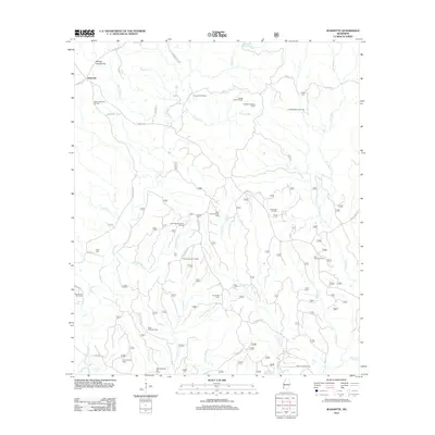
 2000 Jeannette2002 Print · USGSSouthwestern Mississippi timberlands and oil fields are the focus of this turn-of-the-millennium survey of the Adams County interior. Genealogists can trace family landmarks like Carter Cem, Pine Grove Ch, and the settlement of Jeannette.
 - 2000 Map of Crosby, 2002 Print
 2000 Crosby2002 Print · USGSThe pine-heavy borderlands of Amite and Wilkinson counties are captured here at the turn of the millennium. Researchers can trace rural lineages through numerous small burial grounds like Lusk Cem and remote congregations at Mt Nebo Ch or Royal Chapel.
 - 2000 Map of Little Springs, 2002 Print
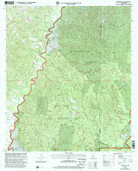
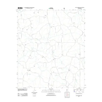
 2000 Little Springs2002 Print · USGSSouthwestern Mississippi at the turn of the century reveals a landscape defined by the Homochitto National Forest. Researchers can trace old family roots at Little Springs and explore local history through sites like Ebenezer Ch and McGenée Cem.
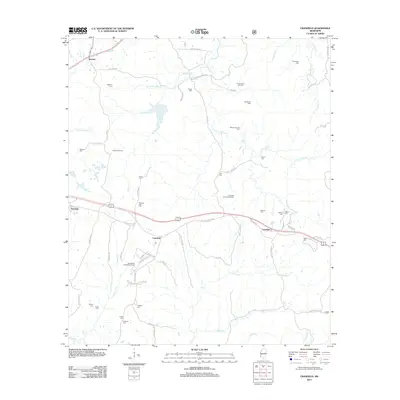
 - 2012 Map of Cranfield, 2012 Print
 2012 Cranfield2012 Print · USGSCovers Franklin County, including Fenwick, Leesdale, and other nearby areas
 - 2012 Map of Garden City, 2012 Print
 2012 Garden City2012 Print · USGSCovers Franklin County, including Perrytown, Garden City, and other nearby areas
 - 2012 Map of Roxie, 2012 Print
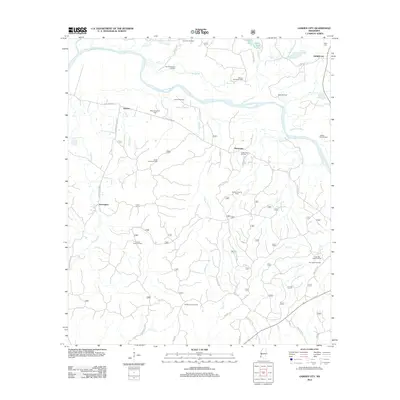
 2012 Roxie2012 Print · USGSCovers Franklin County, including Roxie, Hamburg, and other nearby areas
 - 2012 Map of Jeannette, 2012 Print
 2012 Jeannette2012 Print · USGSCovers Franklin County, including Jeannette, Adams County, and other nearby areas
 - 2012 Map of Knoxville, 2012 Print
 2012 Knoxville2012 Print · USGSCovers Franklin County, including Roxie, White Apple, and other nearby areas
 - 2012 Map of Homochitto, 2012 Print
 2012 Homochitto2012 Print · USGSCovers Franklin County, including Eunice, O'Neil, and other nearby areas
 - 2012 Map of Eddiceton, 2012 Print
 2012 Eddiceton2012 Print · USGSCovers Franklin County, including Eddiceton, New Hope, and other nearby areas
 - 2012 Map of McCall Creek, 2012 Print
 2012 McCall Creek2012 Print · USGSCovers Franklin County, including McCall Creek, Kennolia, and other nearby areas
 - 2012 Map of Crosby, 2012 Print
 2012 Crosby2012 Print · USGSCovers Franklin County, including Stephenson, Freewoods, and other nearby areas
 - 2012 Map of Little Springs, 2012 Print
 2012 Little Springs2012 Print · USGSCovers Franklin County, including Little Springs, Lincoln County, and other nearby areas
 - 2012 Map of Busy Corner, 2012 Print
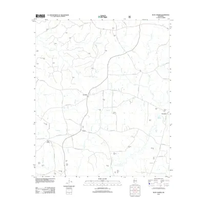 2012 Busy Corner2012 Print · USGSCovers Franklin County, including Zion Hill, Brookside, and other nearby areas
 - 2012 Map of Meadville, 2012 Print
 2012 Meadville2012 Print · USGSCovers Franklin County, including Meadville, Suffolk, and other nearby areas
 - 2012 Map of Bude, 2012 Print
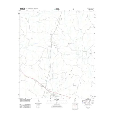
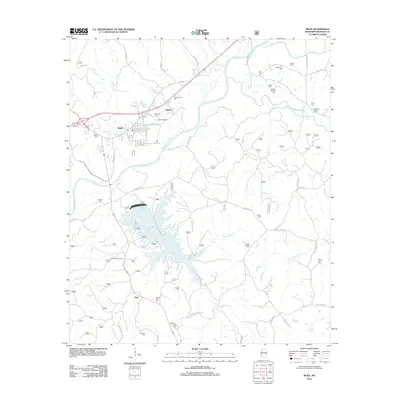 2012 Bude2012 Print · USGSCovers Franklin County, including Bude, Monroe, and other nearby areas
 - 2012 Map of Kirby, 2012 Print
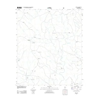 2012 Kirby2012 Print · USGSCovers Franklin County, including Bonus, Oldenburg, and other nearby areas
 - 2012 Map of Smithdale, 2012 Print
 2012 Smithdale2012 Print · USGSCovers Franklin County, including Hustler, Mars Hill, and other nearby areas
 - 2015 Map of Knoxville, 2015 Print
 2015 Knoxville2015 Print · USGSCovers Franklin County, including Roxie, White Apple, and other nearby areas
Showing maps 1-25 of 84
Top cities of Franklin County
Frequently asked questions
- What are the different types of historical maps available for Franklin County?
- What is the oldest map of Franklin County?
- Where can I purchase historical maps of Franklin County for my home or office?
- Where can I download high-res historical maps of Franklin County?
- Are there historical topographic maps available for Franklin County?
- Is there historical aerial imagery available for Franklin County?
- Where are historical maps of Franklin County sourced from?