2010s Maps of Franklin County, Mississippi
Explore 45 historic maps of Franklin County from the 2010s. These maps offer a rare glimpse into what life looked like during the 2010s — showing old roads, neighborhoods, homes, and landmarks that have changed or disappeared over time.
Whether you're researching your family's past, planning a metal detecting trip, or studying how Franklin County's landscape evolved across the 2010s, these high-resolution maps are a powerful tool for exploring the history of this region.
- Focus on a specific era: All maps on this page are from the 2010s, giving you a focused view of this time period.
- See what’s changed: Compare century-old streets, trails, and buildings to today's modern landscape using overlays and satellite layers.
- Research with precision: Use these maps for genealogy, historical research, land use analysis, or educational projects.
- View, download, or print: Maps are fully viewable online in high resolution, and can be downloaded or printed for your own records.
Start exploring Franklin County's history through authentic maps from the 2010s. This is your window into the past.
Franklin County, MS maps
(45)- 2012 Map of Cranfield, 2012 Print
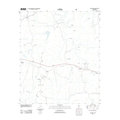 2012 Cranfield2012 Print · USGSAdams County in the early twenty-first century remains a landscape shaped by petroleum and deep-rooted family history. Genealogists and researchers can trace local ties through numerous burial sites like Roaring Dale Cem and the Thompson Cem.
 - 2012 Map of Garden City, 2012 Print
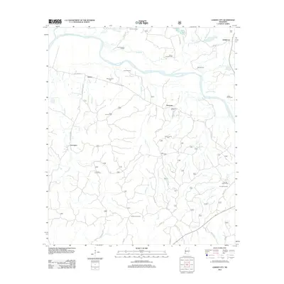 2012 Garden City2012 Print · USGSWilkinson County at the start of the 2010s reveals a landscape where the oil industry and river life converge. Genealogists and historians can trace family locations near Garden City and Ireland, or locate the Mock Cem and Buffalo Lookout Tower.
 - 2012 Map of Roxie, 2012 Print
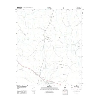 2012 Roxie2012 Print · USGSRoxie and the surrounding Franklin County countryside are shown here during a period of active energy production and deep-seated local history. Researchers can pinpoint numerous family burial sites like Old Rose Hill Cem and Mundy Cem alongside the Oldenburg Oil Field.
 - 2012 Map of Jeannette, 2012 Print
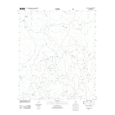 2012 Jeannette2012 Print · USGSThe bayous and petroleum fields of Adams County are shown here in the early twenty-first century as the local oil economy shaped the landscape. Researchers can trace family history through sites like Beach Cem and Holmes Cem or locate industrial landmarks like the Leesdale Lookout Tower.
 - 2012 Map of Knoxville, 2012 Print
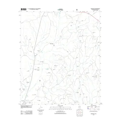 2012 Knoxville2012 Print · USGSFranklin County at the start of the decade shows a unique landscape where petroleum extraction meets deep-rooted local history. Genealogists and researchers can trace family landmarks and rural communities through White Apple, Springhill Cem, and the Wesley Chapel Oil Field.
 - 2012 Map of Homochitto, 2012 Print
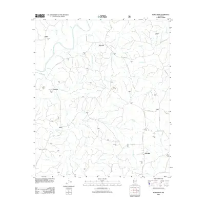 2012 Homochitto2012 Print · USGSSouthwestern Mississippi's rural landscape is captured here in the early twenty-first century, centered on the Homochitto River basin. Genealogists can trace family landmarks like the James Whittington Cem, the Stephenson Lookout Tower, and the West Bude Oil Field.
 - 2012 Map of Eddiceton, 2012 Print
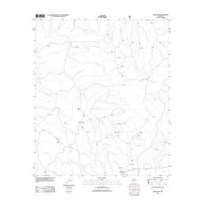 2012 Eddiceton2012 Print · USGSFranklin County's rural communities and oil-producing lands are detailed here during the early twenty-first century. Researchers can trace family history at Sarepta Cem and Magee Cem or locate operations at the Bonus Oil Field.
 - 2012 Map of McCall Creek, 2012 Print
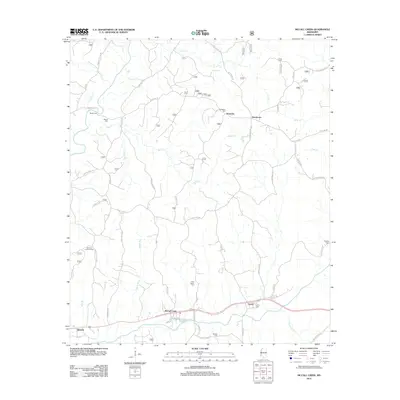 2012 McCall Creek2012 Print · USGSFranklin County in the early twenty-first century reveals a network of small settlements and family cemeteries tied to the winding river valleys. Genealogists can trace family roots through sites like New Salem Cem and Bockles Cem or locate the Quentin Lookout Tower.
 - 2012 Map of Crosby, 2012 Print
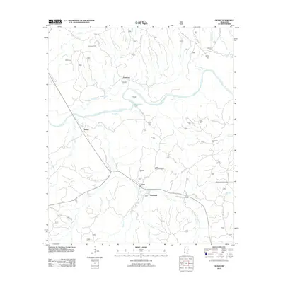 2012 Crosby2012 Print · USGSNear the Homochitto River in the early twenty-first century, this region reveals a landscape defined by timber, oil, and small-town Mississippi life. Researchers can locate numerous family burial sites like Huff Cem and trace the local infrastructure around Crosby and Stephenson.
 - 2012 Map of Little Springs, 2012 Print
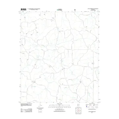 2012 Little Springs2012 Print · USGSFranklin County's rural character is preserved in this study of the Little Springs area during the early twenty-first century. Researchers can trace family history through numerous landmarks like Mount Gilead Cem, Ebenezer Cem, and the waters of Wactor Mill Cr.
 - 2012 Map of Busy Corner, 2012 Print
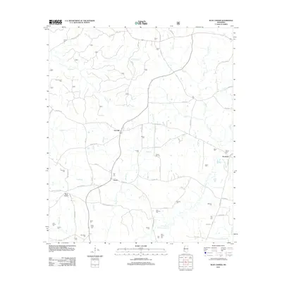 2012 Busy Corner2012 Print · USGSAmite County in the early twenty-first century remains a landscape of family-run farms and deep ancestral roots. Genealogists can trace decades of local history through dozens of family burial sites like John McGehee Cem, Wactor Cem, and the Butler-Short Cem.
 - 2012 Map of Meadville, 2012 Print
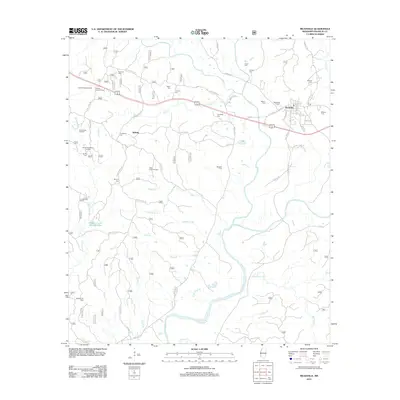 2012 Meadville2012 Print · USGSMeadville and the surrounding Franklin County forestlands are captured here in the early twenty-first century. Genealogists and historians can locate numerous rural burial sites like Townsel Cem and Moore Cem, or trace the development of the Tallys Creek Oil Field.
 - 2012 Map of Bude, 2012 Print
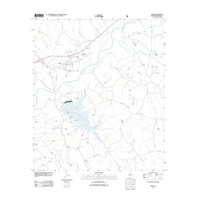 2012 Bude2012 Print · USGSFranklin County, Mississippi, is shown here a decade ago as a landscape of timber, oil, and water. Researchers can trace rural lineages through numerous sites like Middleton Creek Cem or locate industrial landmarks such as the Bude Oil Field and Dixie Airport.
 - 2012 Map of Kirby, 2012 Print
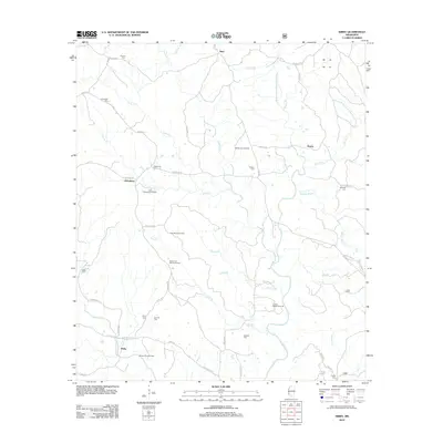 2012 Kirby2012 Print · USGSFranklin County at the start of the 2010s reveals a landscape defined by the winding Middle Fork Homochitto River and active energy production. Local historians can trace family roots through several small burial sites like Oldenburg Cem and Byrd Cem while surveying the East Oldenburg Oil Field.
 - 2012 Map of Smithdale, 2012 Print
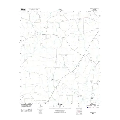 2012 Smithdale2012 Print · USGSAmite County's rural landscape is captured here in the early twenty-first century, showing a region defined by its river forks and small settlements. Researchers can trace dozens of family burial sites like Wroten and Carraway Cem and Harrell-Kirkland Cem near Hustler and Smithdale.
 - 2015 Map of Knoxville, 2015 Print
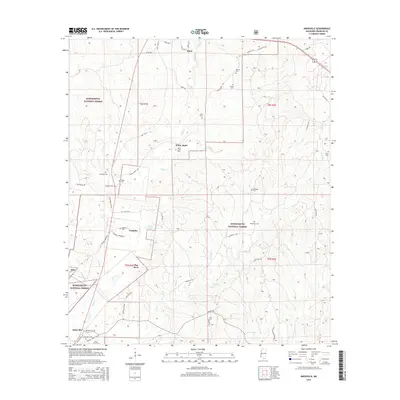 2015 Knoxville2015 Print · USGSWestern Franklin County in the twenty-teens is characterized by the deep woodlands and creek bottoms of the Homochitto National Forest. Researchers can trace rural family lineages through numerous remote burial grounds like White Apple Cem and Middleton Cem near the Roxie and Knoxville settlements.
 - 2015 Map of Roxie, 2015 Print
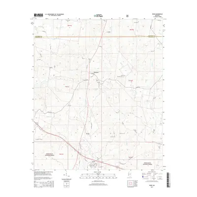 2015 Roxie2015 Print · USGSRoxie and the surrounding Franklin County timberlands are captured here in the mid-2010s, showing the intersection of local life and the Homochitto National Forest. Researchers can locate dozens of burial sites like Old Beech Grove Cem, Mundy Cem, and Roxie Cem across the rural landscape.
 - 2015 Map of Jeannette, 2015 Print
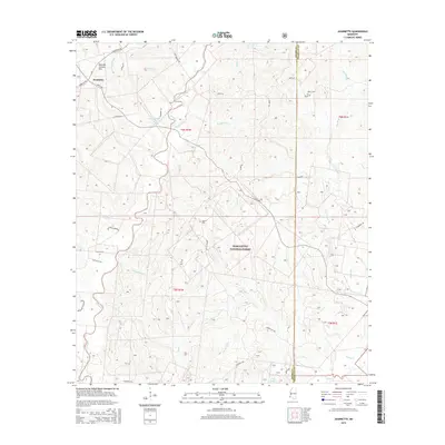 2015 Jeannette2015 Print · USGSAdams and Franklin counties are shown here in the mid-2010s, defined by the dense woods of the Homochitto National Forest. Family historians can locate several local burial sites including Beach Cem, Cory Cem, and the Carter Cem near Jeannette.
 - 2015 Map of Cranfield, 2015 Print
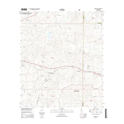 2015 Cranfield2015 Print · USGSCranfield and the surrounding Adams County countryside are captured here in the mid-2010s, showing the intersection of modern forestry and historic trails. Genealogists can trace family burial sites across the landscape, including Roaring Dale Cem, Higgland Cem, and Hoggatt Cem.
 - 2015 Map of Crosby, 2015 Print
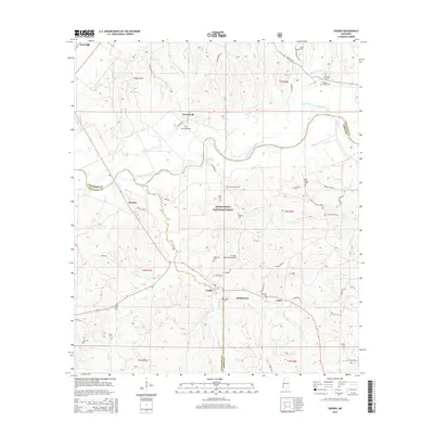 2015 Crosby2015 Print · USGSSouthwest Mississippi's timberlands are seen here in the mid-2010s, centered on the lumber-town history of Crosby and Stephenson. Researchers can trace dozens of family and church landmarks including Mount Nebo Cem, Day Cem, and Campbellite Cem along the Homochitto River.
 - 2015 Map of Garden City, 2015 Print
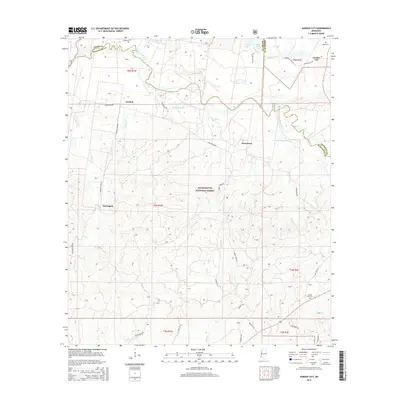 2015 Garden City2015 Print · USGSThe Homochitto River valley in southwest Mississippi appears here in the mid-2010s, showing a landscape defined by timberlands and small rural communities. Genealogists can locate family landmarks like Mock Cem and Homer Hill Cem or trace the early roads connecting Perrytown and Darrington.
 - 2015 Map of Homochitto, 2015 Print
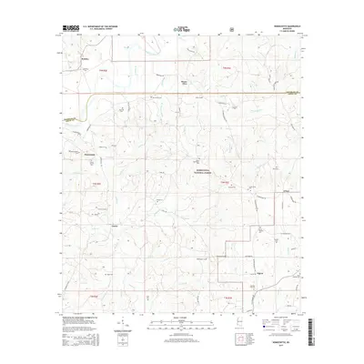 2015 Homochitto2015 Print · USGSAmite and Franklin Counties are documented here in the mid-2010s, showing small forest communities integrated with the Homochitto National Forest. Family historians can locate numerous burial grounds including Old Mount Vernon Cem, Steele Cem, and Cedar Grove Cem.
 - 2015 Map of Meadville, 2015 Print
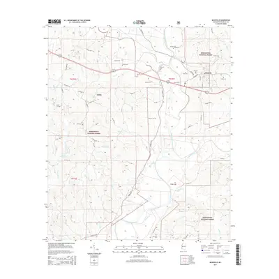 2015 Meadville2015 Print · USGSMeadville and the surrounding Franklin County timberlands are documented here during the mid-2010s. Researchers can trace local genealogy through numerous burial sites like Meadville Cem and Hegan Cem or follow the waters of the Homochitto River.
 - 2015 Map of Little Springs, 2015 Print
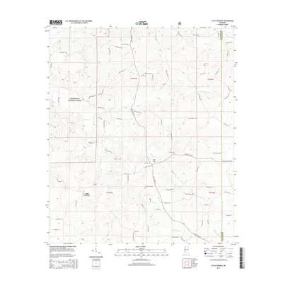 2015 Little Springs2015 Print · USGSLittle Springs and the surrounding Homochitto National Forest are shown in this contemporary record of Franklin and Lincoln counties. Genealogists can trace family heritage through numerous rural burial sites like Mount Gilead Cem, Ramah Cem, and Cain Cem.
 - 2015 Map of Smithdale, 2015 Print
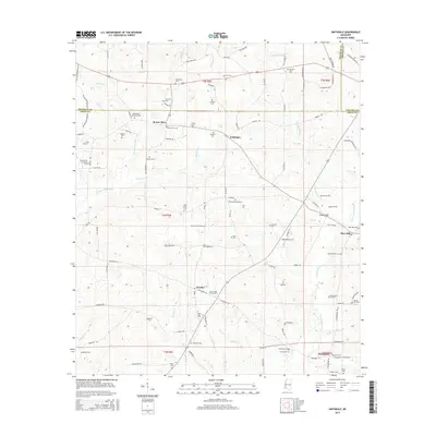 2015 Smithdale2015 Print · USGSAmite County's rural character and family history are preserved here in the mid-2010s, showing the landscape around Smithdale and Hustler. Researchers can trace genealogies through numerous sites like Westbrook Memorial Cem and Harrell-Kirkland Cem along the E Fork Amite River.
Showing maps 1-25 of 45
Top cities of Franklin County
Frequently asked questions
- What are the different types of historical maps available for Franklin County?
- What is the oldest map of Franklin County?
- Where can I purchase historical maps of Franklin County for my home or office?
- Where can I download high-res historical maps of Franklin County?
- Are there historical topographic maps available for Franklin County?
- Is there historical aerial imagery available for Franklin County?
- Where are historical maps of Franklin County sourced from?