2000s (21st Century) Maps of Greene County, Mississippi
Explore 105 historic maps of Greene County from the 2000s (21st Century). These maps offer a rare glimpse into what life looked like during the 2000s — showing old roads, neighborhoods, homes, and landmarks that have changed or disappeared over time.
Whether you're researching your family's past, planning a metal detecting trip, or studying how Greene County's landscape evolved across the 2000s, these high-resolution maps are a powerful tool for exploring the history of this region.
- Focus on a specific era: All maps on this page are from the 2000s, giving you a focused view of this time period.
- See what’s changed: Compare century-old streets, trails, and buildings to today's modern landscape using overlays and satellite layers.
- Research with precision: Use these maps for genealogy, historical research, land use analysis, or educational projects.
- View, download, or print: Maps are fully viewable online in high resolution, and can be downloaded or printed for your own records.
Start exploring Greene County's history through authentic maps from the 2000s. This is your window into the past.
Greene County, MS maps
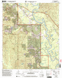
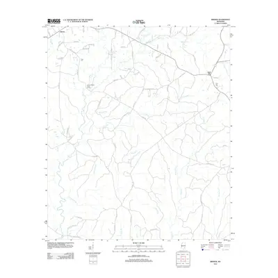
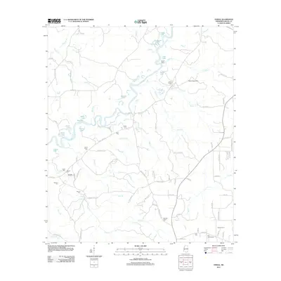
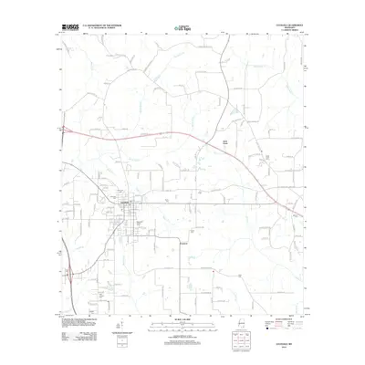
(105)- 2000 Map of Piave, 2002 Print
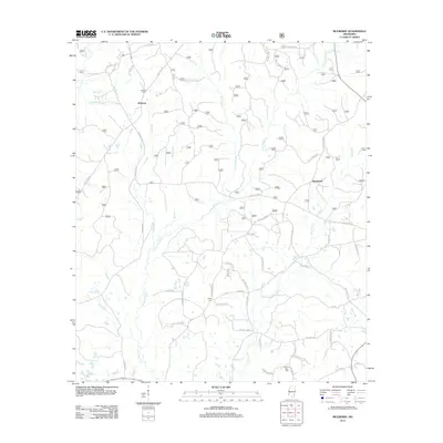
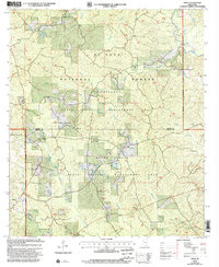 2000 Piave2002 Print · USGSMississippi's piney woods and wildlife areas are captured here at the turn of the millennium. Genealogists and historians can trace the roads near Piave, Smithtown, and the Henderson Cem within the De Soto National Forest.
 - 2000 Map of Neely, 2002 Print
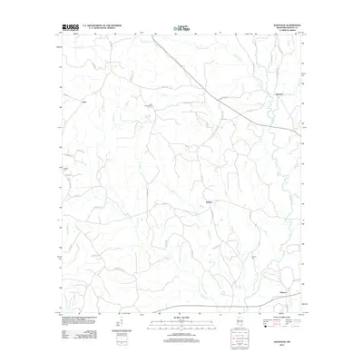
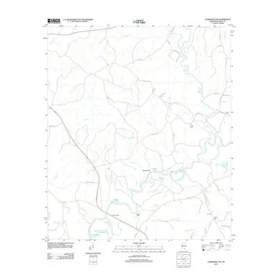
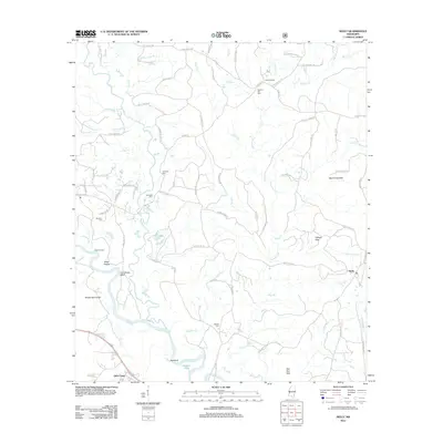
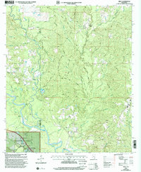 2000 Neely2002 Print · USGSThe Leaf River valley and the eastern edge of the De Soto National Forest are shown here at the start of the 21st century. Genealogists can locate family sites at Sylvester Cem and numerous rural sanctuaries like Arlington Ch and Bolton Chapel.
 - 2000 Map of Mulberry, 2002 Print
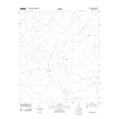
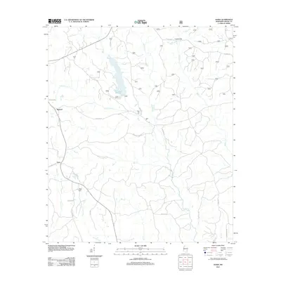
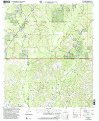 2000 Mulberry2002 Print · USGSAt the meeting of Wayne, Perry, and Greene Counties at the turn of the millennium, this area remains a landscape of managed forests and rural community life. Researchers can trace family roots at Hickory Grove Cem or locate old congregational sites like Union Grove Ch and Pineview Ch.
 - 2000 Map of Avent, 2003 Print
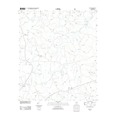
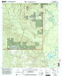 2000 Avent2003 Print · USGSGeorge County's forested uplands and river bottoms are documented here at the turn of the century, showing a landscape defined by the Pascagoula River. Genealogists can trace family roots at Salem Cem and Mixon-Mizelle Cem or locate the old Holly Grove Sch.
 - 2000 Map of McLain, 2003 Print
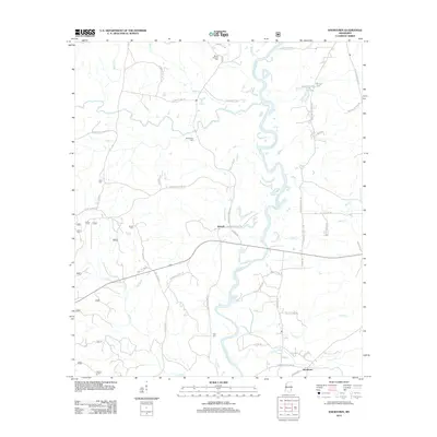
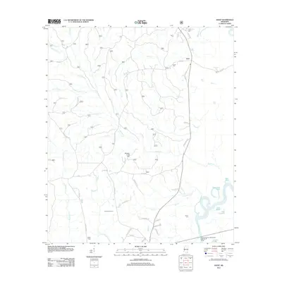
 2000 McLain2003 Print · USGSSoutheast Mississippi's river bottomlands are captured here at the turn of the millennium, showing the rural communities of the Piney Woods. Trace family sites like Mt Nebo Cem or Moody Chapel along the banks of the Leaf River and the Illinois Central Gulf rail line.
 - 2011 Map of Earlville, 2011 Print
 2011 Earlville2011 Print · USGSCovers Greene County, including Earlville, Shipman, and other nearby areas
 - 2011 Map of Fruitdale, 2011 Print
 2011 Fruitdale2011 Print · USGSCovers Greene County, including Epworth, Escatawpa, and other nearby areas
 - 2012 Map of State Line, 2012 Print
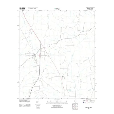 2012 State Line2012 Print · USGSCovers Greene County, including State Line, Eret, and other nearby areas
 - 2012 Map of Leakesville, 2012 Print
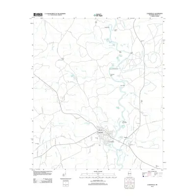 2012 Leakesville2012 Print · USGSCovers Greene County, including Leakesville, Dueitt, and other nearby areas
 - 2012 Map of Clark, 2012 Print
 2012 Clark2012 Print · USGSCovers Greene County, including Clark, Old Avera, and other nearby areas
 - 2012 Map of Brown Town, 2012 Print
 2012 Brown Town2012 Print · USGSCovers Greene County, including Brown Town, Pisgah, and other nearby areas
 - 2012 Map of McLain, 2012 Print
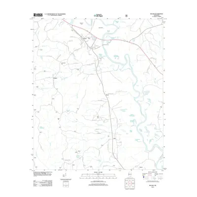 2012 McLain2012 Print · USGSCovers Greene County, including McLain, Leaf, and other nearby areas
 - 2012 Map of Brewer, 2012 Print
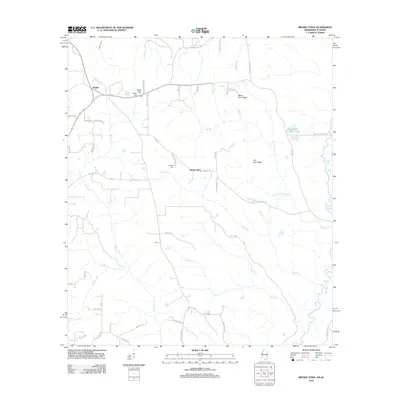
 2012 Brewer2012 Print · USGSCovers Greene County, including Sand Hill, Brewer, and other nearby areas
 - 2012 Map of Knobtown, 2012 Print
 2012 Knobtown2012 Print · USGSCovers Greene County, including Kittrell, Knobtown, and other nearby areas
 - 2012 Map of Jonathan, 2012 Print
 2012 Jonathan2012 Print · USGSCovers Greene County, including Hillman, Bradley, and other nearby areas
 - 2012 Map of Rounsaville, 2012 Print
 2012 Rounsaville2012 Print · USGSCovers Greene County, including Rounsaville, Walley, and other nearby areas
 - 2012 Map of Vernal, 2012 Print
 2012 Vernal2012 Print · USGSCovers Greene County, including Vernal, United States, and other nearby areas
 - 2012 Map of Leakesville SW, 2012 Print
 2012 Leakesville SW2012 Print · USGSCovers Greene County, including United States, Mississippi, and other nearby areas
 - 2012 Map of Avera, 2012 Print
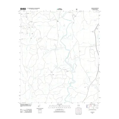
 2012 Avera2012 Print · USGSCovers Greene County, including Avera, Carson City, and other nearby areas
 - 2012 Map of Piave, 2012 Print
 2012 Piave2012 Print · USGSCovers Greene County, including Smithtown, Piave, and other nearby areas
 - 2012 Map of Mulberry, 2012 Print
 2012 Mulberry2012 Print · USGSCovers Greene County, including Mulberry, Henderson, and other nearby areas
 - 2012 Map of Neely, 2012 Print
 2012 Neely2012 Print · USGSCovers Greene County, including Little Creek, Wilson, and other nearby areas
 - 2012 Map of Avent, 2012 Print
 2012 Avent2012 Print · USGSCovers Greene County, including Avent, George County, and other nearby areas
 - 2012 Map of Merrill, 2012 Print
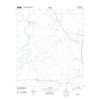 2012 Merrill2012 Print · USGSCovers Greene County, including Central, Crossroads, and other nearby areas
 - 2012 Map of Lucedale, 2012 Print
 2012 Lucedale2012 Print · USGSCovers Greene County, including Lucedale, Rock Creek, and other nearby areas
Showing maps 1-25 of 105
Top cities of Greene County
Frequently asked questions
- What are the different types of historical maps available for Greene County?
- What is the oldest map of Greene County?
- Where can I purchase historical maps of Greene County for my home or office?
- Where can I download high-res historical maps of Greene County?
- Are there historical topographic maps available for Greene County?
- Is there historical aerial imagery available for Greene County?
- Where are historical maps of Greene County sourced from?