2020s Maps of Greene County, Mississippi
Explore 40 historic maps of Greene County from the 2020s. These maps offer a rare glimpse into what life looked like during the 2020s — showing old roads, neighborhoods, homes, and landmarks that have changed or disappeared over time.
Whether you're researching your family's past, planning a metal detecting trip, or studying how Greene County's landscape evolved across the 2020s, these high-resolution maps are a powerful tool for exploring the history of this region.
- Focus on a specific era: All maps on this page are from the 2020s, giving you a focused view of this time period.
- See what’s changed: Compare century-old streets, trails, and buildings to today's modern landscape using overlays and satellite layers.
- Research with precision: Use these maps for genealogy, historical research, land use analysis, or educational projects.
- View, download, or print: Maps are fully viewable online in high resolution, and can be downloaded or printed for your own records.
Start exploring Greene County's history through authentic maps from the 2020s. This is your window into the past.
Greene County, MS maps
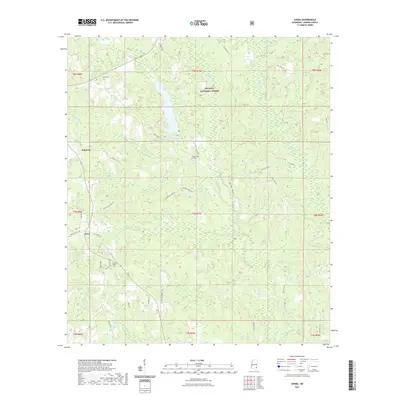
(40)- 2020 Map of Fruitdale, 2020 Print
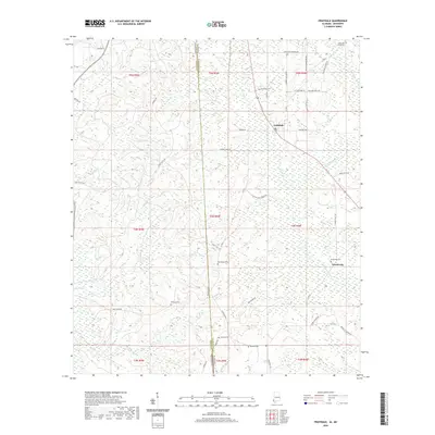 2020 Fruitdale2020 Print · USGSCovers Greene County, including Epworth, Escatawpa, and other nearby areas
 - 2020 Map of Earlville, 2020 Print
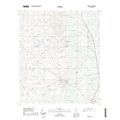
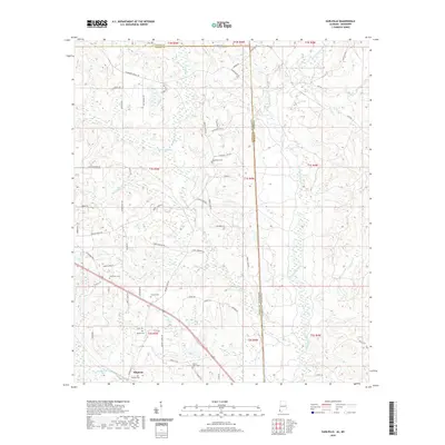 2020 Earlville2020 Print · USGSCovers Greene County, including Earlville, Shipman, and other nearby areas
 - 2020 Map of Merrill, 2020 Print
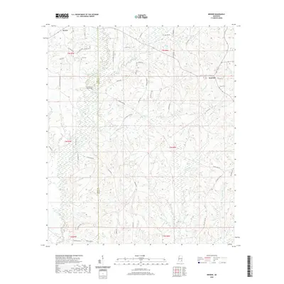
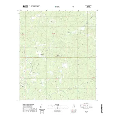
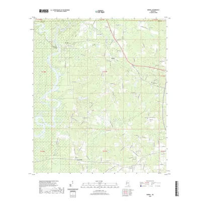 2020 Merrill2020 Print · USGSCovers Greene County, including Central, Crossroads, and other nearby areas
 - 2020 Map of Leakesville SW, 2020 Print
 2020 Leakesville SW2020 Print · USGSCovers Greene County, including United States, Mississippi, and other nearby areas
 - 2020 Map of Vernal, 2020 Print
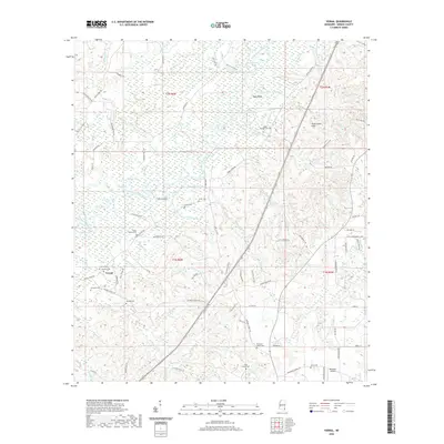 2020 Vernal2020 Print · USGSCovers Greene County, including Vernal, United States, and other nearby areas
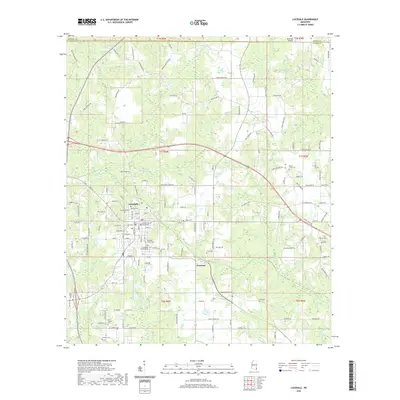
 - 2020 Map of Leakesville, 2020 Print
 2020 Leakesville2020 Print · USGSCovers Greene County, including Leakesville, Dueitt, and other nearby areas
 - 2020 Map of Brewer, 2020 Print
 2020 Brewer2020 Print · USGSCovers Greene County, including Sand Hill, Brewer, and other nearby areas
 - 2020 Map of State Line, 2020 Print
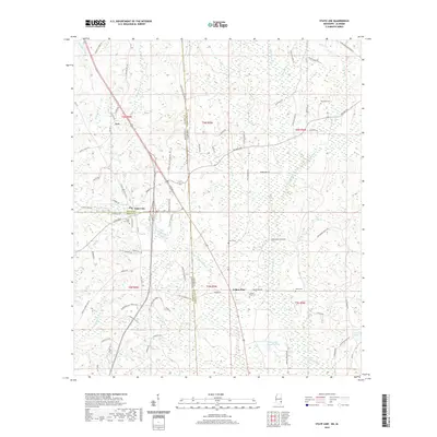 2020 State Line2020 Print · USGSCovers Greene County, including State Line, Eret, and other nearby areas
 - 2020 Map of Lucedale, 2020 Print
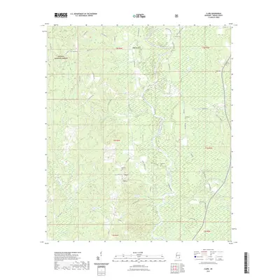
 2020 Lucedale2020 Print · USGSCovers Greene County, including Lucedale, Rock Creek, and other nearby areas
 - 2020 Map of Brown Town, 2020 Print
 2020 Brown Town2020 Print · USGSCovers Greene County, including Brown Town, Pisgah, and other nearby areas
 - 2020 Map of Rounsaville, 2020 Print
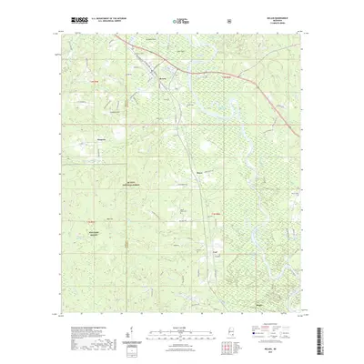
 2020 Rounsaville2020 Print · USGSCovers Greene County, including Rounsaville, Walley, and other nearby areas
 - 2020 Map of Jonathan, 2020 Print
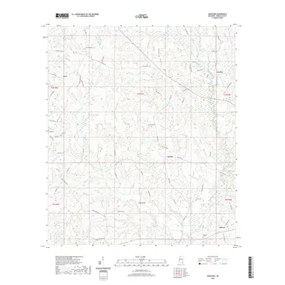 2020 Jonathan2020 Print · USGSCovers Greene County, including Hillman, Bradley, and other nearby areas
 - 2021 Map of Avera, 2021 Print
 2021 Avera2021 Print · USGSCovers Greene County, including Avera, Carson City, and other nearby areas
 - 2021 Map of Piave, 2021 Print
 2021 Piave2021 Print · USGSCovers Greene County, including Smithtown, Piave, and other nearby areas
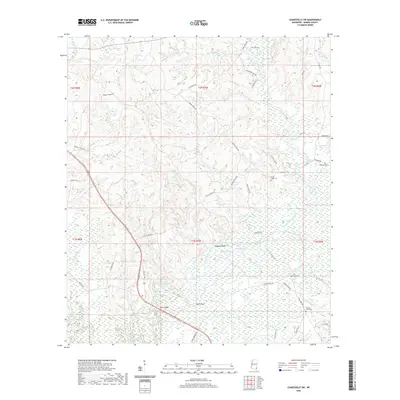
 - 2021 Map of Avent, 2021 Print
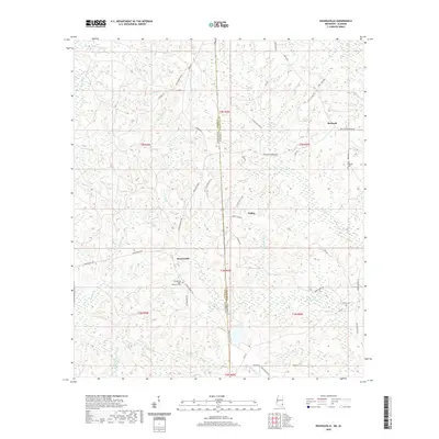
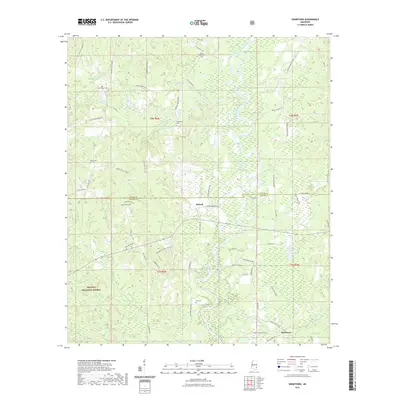
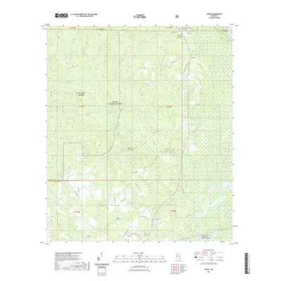 2021 Avent2021 Print · USGSCovers Greene County, including Avent, George County, and other nearby areas
 - 2021 Map of Clark, 2021 Print
 2021 Clark2021 Print · USGSCovers Greene County, including Clark, Old Avera, and other nearby areas
 - 2021 Map of Neely, 2021 Print
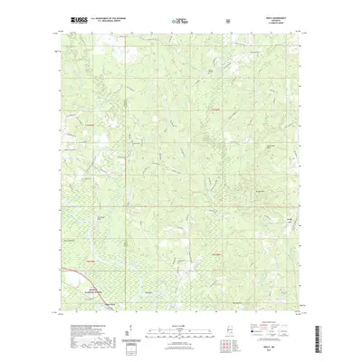 2021 Neely2021 Print · USGSCovers Greene County, including Little Creek, Wilson, and other nearby areas
 - 2021 Map of Mulberry, 2021 Print
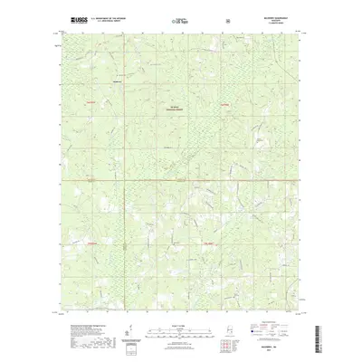 2021 Mulberry2021 Print · USGSCovers Greene County, including Mulberry, Henderson, and other nearby areas
 - 2021 Map of Knobtown, 2021 Print
 2021 Knobtown2021 Print · USGSCovers Greene County, including Kittrell, Knobtown, and other nearby areas
 - 2021 Map of McLain, 2021 Print
 2021 McLain2021 Print · USGSCovers Greene County, including McLain, Leaf, and other nearby areas
 - 2024 Map of Avent, 2024 Print
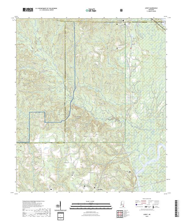 2024 Avent2024 Print · USGSSoutheastern Mississippi at the meeting of the Pascagoula and Leaf Rivers reveals a landscape of deep-rooted family settlements and forest tracks. Genealogists can trace local lineages through the Fairley Cem, Pipkin Cem, and the historic Fairley Ferry.
 - 2024 Map of Mulberry, 2024 Print
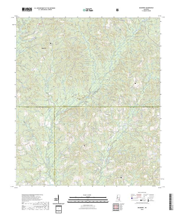 2024 Mulberry2024 Print · USGSSoutheastern Mississippi's timberlands and rural crossroads are documented here in the early twenty-first century. Researchers can trace local drainage patterns along Bogue Homa or locate family landmarks near Mulberry and Sand Hill.
 - 2024 Map of State Line, 2024 Print
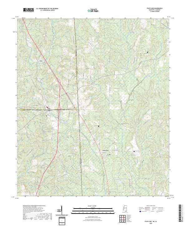 2024 State Line2024 Print · USGSThe Mississippi-Alabama borderlands come into focus here as they appeared in the early 2020s, centered on the historic town of State Line. Researchers can map out local burial grounds like Gilley Cem and Red Bank Cem or trace the Escatawpa River corridor.
 - 2024 Map of Vernal, 2024 Print
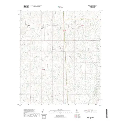
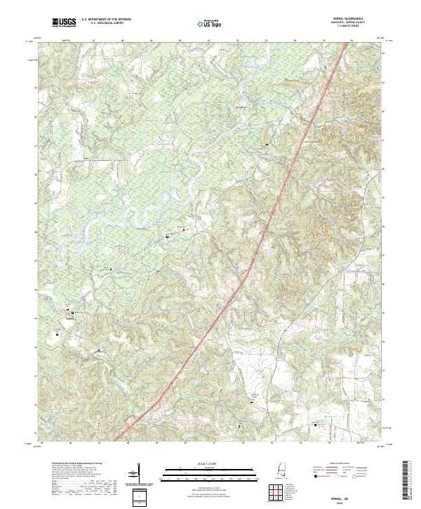 2024 Vernal2024 Print · USGSGreene County, Mississippi, is shown here in the 2020s, defined by the winding course of the Chickasawhay River and its many backwater lakes. Researchers can locate numerous family burial sites such as Maple-McLeod Cem, Cooley Cem, and Lewis Cem.
 - 2024 Map of Brewer, 2024 Print
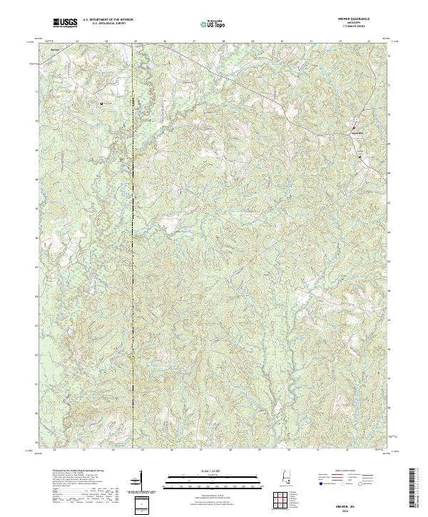 2024 Brewer2024 Print · USGSSoutheastern Mississippi's piney woods and creek basins are mapped here in the modern era, straddling the Greene and Perry county line. Researchers can trace family history through local landmarks like Frisco Cem, Sand Hill, and the many roads bearing local surnames.
Showing maps 1-25 of 40
Top cities of Greene County
Frequently asked questions
- What are the different types of historical maps available for Greene County?
- What is the oldest map of Greene County?
- Where can I purchase historical maps of Greene County for my home or office?
- Where can I download high-res historical maps of Greene County?
- Are there historical topographic maps available for Greene County?
- Is there historical aerial imagery available for Greene County?
- Where are historical maps of Greene County sourced from?