2010s Maps of Greene County, Mississippi
Explore 60 historic maps of Greene County from the 2010s. These maps offer a rare glimpse into what life looked like during the 2010s — showing old roads, neighborhoods, homes, and landmarks that have changed or disappeared over time.
Whether you're researching your family's past, planning a metal detecting trip, or studying how Greene County's landscape evolved across the 2010s, these high-resolution maps are a powerful tool for exploring the history of this region.
- Focus on a specific era: All maps on this page are from the 2010s, giving you a focused view of this time period.
- See what’s changed: Compare century-old streets, trails, and buildings to today's modern landscape using overlays and satellite layers.
- Research with precision: Use these maps for genealogy, historical research, land use analysis, or educational projects.
- View, download, or print: Maps are fully viewable online in high resolution, and can be downloaded or printed for your own records.
Start exploring Greene County's history through authentic maps from the 2010s. This is your window into the past.
Greene County, MS maps
(60)- 2011 Map of Earlville, 2011 Print
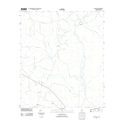 2011 Earlville2011 Print · USGSThe Alabama-Mississippi borderlands appear in detail in this study of the Escatawpa River valley and its rural communities. Researchers can trace family roots through numerous burial sites like Macedonia Cemetery or locate the settlement of Earlville.
 - 2011 Map of Fruitdale, 2011 Print
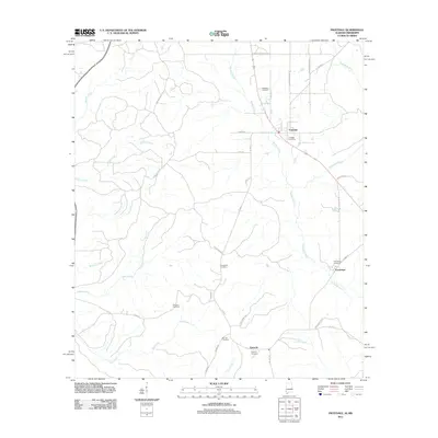 2011 Fruitdale2011 Print · USGSFruitdale and the surrounding Washington County countryside are shown here in the early twenty-first century, as the local road network and creek systems define the landscape. Genealogists can trace family names through several rural burial sites, including Macedonia Cemetery, Grimes Cemetery, and Williams Cemetery.
 - 2012 Map of State Line, 2012 Print
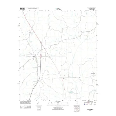 2012 State Line2012 Print · USGSThe Mississippi-Alabama borderlands come into focus in the early 2010s, showing a landscape of timberlands and river drainages. You can trace family history through local sites like State Line Cemetery or locate the Milstead Lookout Tower and Chatom Gas Field.
 - 2012 Map of Leakesville, 2012 Print
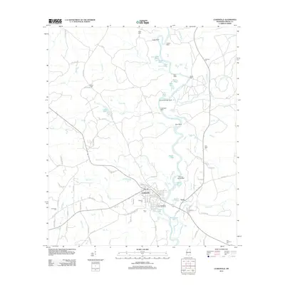 2012 Leakesville2012 Print · USGSGreene County's river-bottom geography is preserved here in the early twenty-first century, centered on the historic seat of Leakesville. Genealogists and historians can trace local family lineages through sites like Magnolia Cem, Sweetwater Cem, and the river bluffs at Meeting House Bluff.
 - 2012 Map of Clark, 2012 Print
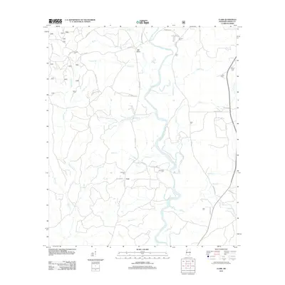 2012 Clark2012 Print · USGSThe Chickasawhay River valley in Greene County is documented here during the early twenty-first century, showing a rural landscape defined by its waterways and family homesteads. Genealogists can trace family roots through numerous burial sites like Fellowship Cem and Avera Cem near the settlement of Old Avera.
 - 2012 Map of Brown Town, 2012 Print
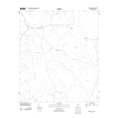 2012 Brown Town2012 Print · USGSThe Mississippi-Alabama borderlands come into focus in the early 2010s, showing a landscape defined by the Escatawpa River and rural family settlements. Researchers can trace local genealogy through the Mount Pisgah Cem and Maples Cem, or locate landmarks like Mash Fork Ridge.
 - 2012 Map of McLain, 2012 Print
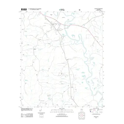 2012 McLain2012 Print · USGSGreene County river country comes to life in the early 2010s, centered on the Leaf River bottomlands. Researchers can trace rural lineages through the McLain Cem and Mount Nebo Cem, or locate landmarks like the Leaf Lookout Tower.
 - 2012 Map of Brewer, 2012 Print
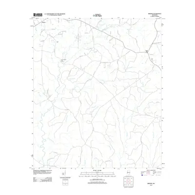 2012 Brewer2012 Print · USGSGreene County crossroads and creek bottoms are documented here in the decade following the turn of the millennium. Local researchers can trace family landmarks like the Gaines Brewer Road Bridge and several cemeteries including Frisco Cem and Sand Hill Cem.
 - 2012 Map of Knobtown, 2012 Print
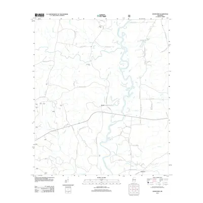 2012 Knobtown2012 Print · USGSGreene County is shown here in the early twenty-first century, centered on the winding path of the Chickasawhay River. Family researchers can trace local roots at Kittrell Cem, Providence Cem, or the small settlement of Knobtown.
 - 2012 Map of Jonathan, 2012 Print
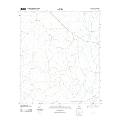 2012 Jonathan2012 Print · USGSGreene County at the start of the 2010s reveals a landscape of rural crossroads and creek-bottom timberlands. Genealogists and historians can trace family roots through the Bradley Cem and Hillman Cem or locate the Green Lookout Tower.
 - 2012 Map of Rounsaville, 2012 Print
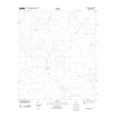 2012 Rounsaville2012 Print · USGSSoutheast Mississippi's rural character is on full display here in the early 2010s, showing a landscape shaped by creeks and timber tracts. Genealogists can trace family footprints at Rounsaville Cem or Burbank Cem and locate historic sites like Stalworth Camp.
 - 2012 Map of Vernal, 2012 Print
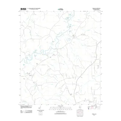 2012 Vernal2012 Print · USGSSoutheast Mississippi's river bottomlands and rural uplands are documented here in the early twenty-first century. Genealogists can locate family landmarks such as Sandy Branch Cem and McLeod Cem, or trace the winding course of the Chickasawhay River past Byrd Bend.
 - 2012 Map of Leakesville SW, 2012 Print
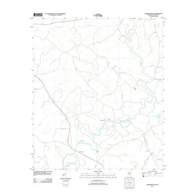 2012 Leakesville SW2012 Print · USGSGreene County’s riverine landscape is captured here in the early twenty-first century, centered on the winding Chickasawhay River and its many oxbow lakes. Genealogists can locate family landmarks like Williams Cem and Coward Place Cem, or trace the rural road networks around Miller Bridge.
 - 2012 Map of Avera, 2012 Print
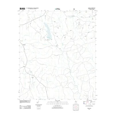 2012 Avera2012 Print · USGSGreene County, Mississippi, is shown here as it appeared in the early 21st century, centered on the waters of the Turkey Fork Reservoir. Genealogists and local historians can trace family locations near Bothwell and Avera, or locate rural landmarks like Mutual Rights Cem and Indian Hill.
 - 2012 Map of Piave, 2012 Print
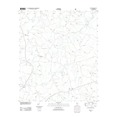 2012 Piave2012 Print · USGSWayne County, Mississippi, is shown here in the early 2010s, capturing the rural settlement patterns around Smithtown and Piave. Genealogists and historians can trace family-named routes and landmarks like Henderson Cem and Patricks Bridge.
 - 2012 Map of Mulberry, 2012 Print
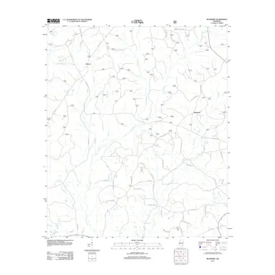 2012 Mulberry2012 Print · USGSSouthern Mississippi's timber and farming country is captured here during the early twenty-first century. Researchers can locate family roots at Mulberry Cem or Mount Zion Cem and trace the paths of Piney Woods Cr and Gunstock Br.
 - 2012 Map of Neely, 2012 Print
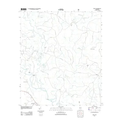 2012 Neely2012 Print · USGSSoutheast Mississippi's timber and river country is captured here during the early twenty-first century. Genealogists and local researchers can trace family landmarks and burial sites like Sylvester Cem and Buffalo Cem near the winding Leaf River.
 - 2012 Map of Avent, 2012 Print
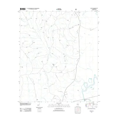 2012 Avent2012 Print · USGSSoutheast Mississippi's piney woods and river bottomlands are captured here in the early twenty-first century. Researchers can locate family landmarks like Pipkin Cem and Mixon-Mizelle Cem, or trace the winding course of the Pascagoula River.
 - 2012 Map of Merrill, 2012 Print
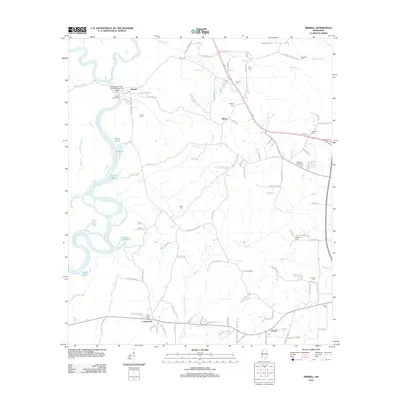 2012 Merrill2012 Print · USGSGeorge County's river-bottom landscape is captured here at the start of the 2010s, where the Leaf and Chickasawhay rivers join. Genealogists can locate family burial sites like Pipkins Cemetery and Merrill Cemetery, or trace old routes near Bexley and Crossroads.
 - 2012 Map of Lucedale, 2012 Print
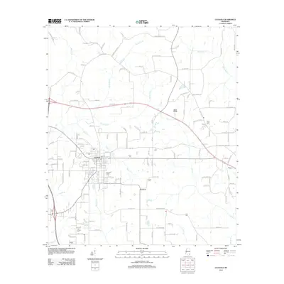 2012 Lucedale2012 Print · USGSSoutheast Mississippi's rural character and county seat come into focus during the early twenty-first century. Genealogists and historians can trace family ties through numerous burial grounds like Magnolia Garden Cem and named routes like Billie Tilley Hl.
 - 2014 Map of Fruitdale, 2014 Print
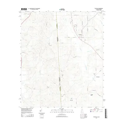 2014 Fruitdale2014 Print · USGSThe Alabama and Mississippi borderlands come into focus in the mid-2010s, centering on the rural communities of Washington and Greene Counties. Genealogists can trace family burial sites at Fruitdale Cemetery, Macedonia Cemetery, and Grimes Cemetery.
 - 2014 Map of Earlville, 2014 Print
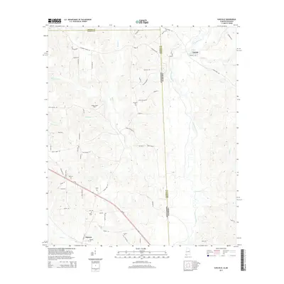 2014 Earlville2014 Print · USGSThe Alabama-Mississippi borderlands come into focus in the early 2010s, showing a landscape defined by the Escatawpa River and rural family homesteads. Genealogists can locate several remote burial grounds like Macedonia Cem and Shipman Cem near the historic Shipman settlement.
 - 2015 Map of Brewer, 2015 Print
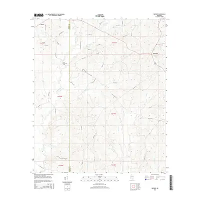 2015 Brewer2015 Print · USGSCrossing the line between Perry and Greene counties in the mid-2010s, this area maintains its rural character through deep creek valleys and timbered ridges. Researchers can locate family landmarks like Frisco Cemetery, Sand Hill Cemetery, and the Gaines Brewer Road Bridge.
 - 2015 Map of Neely, 2015 Print
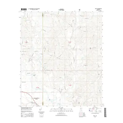 2015 Neely2015 Print · USGSPerry and Greene County come into focus in the mid-2010s, showing a landscape defined by the winding Leaf River and the Desoto National Forest. Genealogists can locate family-named landmarks and several burial sites like Buffalo Cem and Sylvester Cem.
 - 2015 Map of Knobtown, 2015 Print
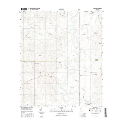 2015 Knobtown2015 Print · USGSGreene and Wayne Counties are depicted here as the modern era met the long-standing timberlands of the Desoto National Forest. Genealogists and local historians can trace rural settlements like Kittrell and Knobtown or locate family sites such as Pine Grove Cem and Slay Cem.
Showing maps 1-25 of 60
Top cities of Greene County
Frequently asked questions
- What are the different types of historical maps available for Greene County?
- What is the oldest map of Greene County?
- Where can I purchase historical maps of Greene County for my home or office?
- Where can I download high-res historical maps of Greene County?
- Are there historical topographic maps available for Greene County?
- Is there historical aerial imagery available for Greene County?
- Where are historical maps of Greene County sourced from?