2020s Maps of Madison County, Mississippi
Explore 50 historic maps of Madison County from the 2020s. These maps offer a rare glimpse into what life looked like during the 2020s — showing old roads, neighborhoods, homes, and landmarks that have changed or disappeared over time.
Whether you're researching your family's past, planning a metal detecting trip, or studying how Madison County's landscape evolved across the 2020s, these high-resolution maps are a powerful tool for exploring the history of this region.
- Focus on a specific era: All maps on this page are from the 2020s, giving you a focused view of this time period.
- See what’s changed: Compare century-old streets, trails, and buildings to today's modern landscape using overlays and satellite layers.
- Research with precision: Use these maps for genealogy, historical research, land use analysis, or educational projects.
- View, download, or print: Maps are fully viewable online in high resolution, and can be downloaded or printed for your own records.
Start exploring Madison County's history through authentic maps from the 2020s. This is your window into the past.
Madison County, MS maps
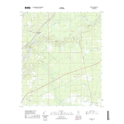
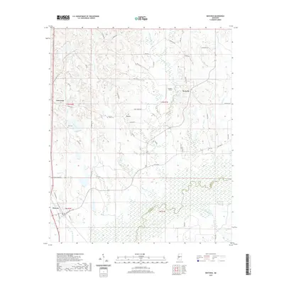
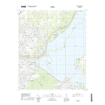
(50)- 2020 Map of Brownsville, 2020 Print
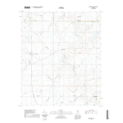 2020 Brownsville2020 Print · USGSCovers Madison County, including Clinton, Orangeville, and other nearby areas
 - 2020 Map of Way, 2020 Print
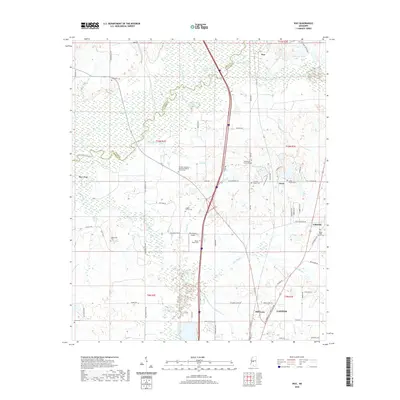 2020 Way2020 Print · USGSCovers Madison County, including Canton, Milltown, and other nearby areas
 - 2020 Map of Sharon, 2020 Print
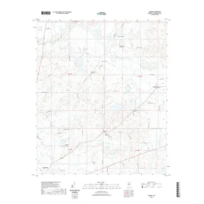 2020 Sharon2020 Print · USGSCovers Madison County, including Canton, Sharon, and other nearby areas
 - 2020 Map of Vaughan, 2020 Print
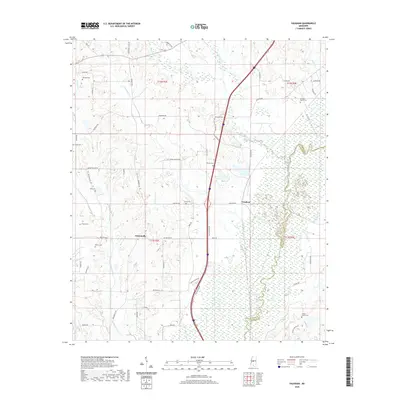 2020 Vaughan2020 Print · USGSCovers Madison County, including Vaughan, Deasonville, and other nearby areas
 - 2020 Map of Goshen Springs, 2020 Print
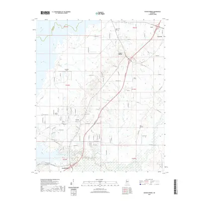 2020 Goshen Springs2020 Print · USGSCovers Madison County, including Flowood, Sand Hill, and other nearby areas
 - 2020 Map of Shoccoe, 2020 Print
 2020 Shoccoe2020 Print · USGSCovers Madison County, including Canton, Madisonville, and other nearby areas
 - 2020 Map of Pocahontas, 2020 Print
 2020 Pocahontas2020 Print · USGSCovers Madison County, including Jackson, Clinton, and other nearby areas
 - 2020 Map of Sharon SE, 2020 Print
 2020 Sharon SE2020 Print · USGSCovers Madison County, including Eureka, Ratliff, and other nearby areas
 - 2020 Map of Coxs Ferry, 2020 Print
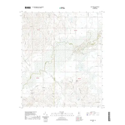 2020 Coxs Ferry2020 Print · USGSCovers Madison County, including Nevada, Adelle, and other nearby areas
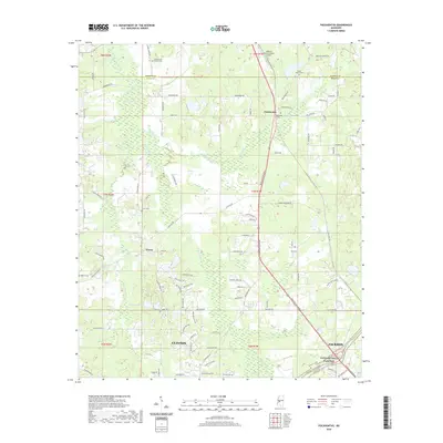
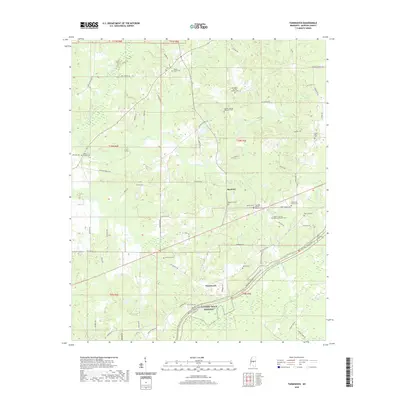
 - 2020 Map of Thomastown, 2020 Print
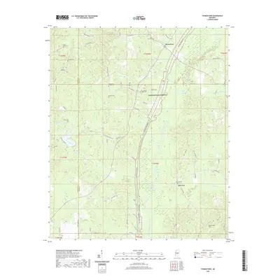 2020 Thomastown2020 Print · USGSCovers Madison County, including Thomastown, Saint Ann, and other nearby areas
 - 2020 Map of Joseph, 2020 Print
 2020 Joseph2020 Print · USGSCovers Madison County, including Bolatusha, Joseph, and other nearby areas
 - 2020 Map of Goodman, 2020 Print
 2020 Goodman2020 Print · USGSCovers Madison County, including Pickens, Goodman, and other nearby areas
 - 2020 Map of Flora, 2020 Print
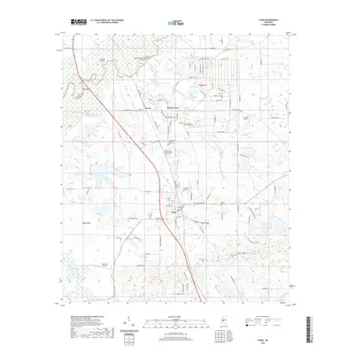 2020 Flora2020 Print · USGSCovers Madison County, including Flora, Vernon, and other nearby areas
 - 2020 Map of Bentonia, 2020 Print
 2020 Bentonia2020 Print · USGSCovers Madison County, including Bentonia, Dover, and other nearby areas
 - 2020 Map of Ofahoma, 2020 Print
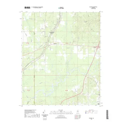 2020 Ofahoma2020 Print · USGSCovers Madison County, including Forest Grove, Good Hope, and other nearby areas
 - 2020 Map of Farmhaven, 2020 Print
 2020 Farmhaven2020 Print · USGSCovers Madison County, including Farmhaven, Millville, and other nearby areas
 - 2020 Map of Camden, 2020 Print
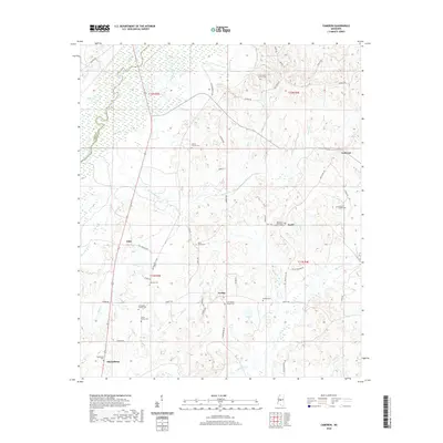
 2020 Camden2020 Print · USGSCovers Madison County, including Camden, Revive, and other nearby areas
 - 2020 Map of Newport, 2020 Print
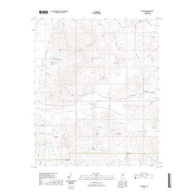 2020 Newport2020 Print · USGSCovers Madison County, including Newport, Attala County, and other nearby areas
 - 2020 Map of Cameron, 2020 Print
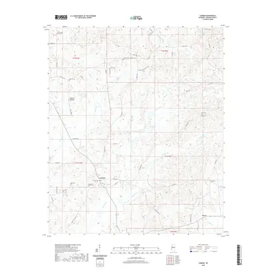
 2020 Cameron2020 Print · USGSCovers Madison County, including Truitt, Sharpsburg, and other nearby areas
 - 2020 Map of Charlton, 2020 Print
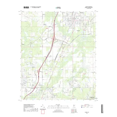
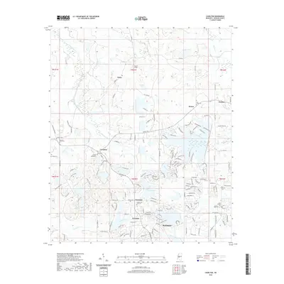 2020 Charlton2020 Print · USGSCovers Madison County, including Madison, Livingston, and other nearby areas
 - 2020 Map of Madison, 2020 Print
 2020 Madison2020 Print · USGSCovers Madison County, including Jackson, Madison, and other nearby areas
 - 2020 Map of Berryville, 2020 Print
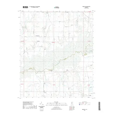 2020 Berryville2020 Print · USGSCovers Madison County, including Virlilia, Scotland Fork, and other nearby areas
 - 2020 Map of Ridgeland, 2020 Print
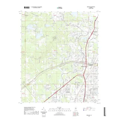 2020 Ridgeland2020 Print · USGSCovers Madison County, including Jackson, Madison, and other nearby areas
 - 2020 Map of Canton, 2020 Print
 2020 Canton2020 Print · USGSCovers Madison County, including Canton, Gluckstadt, and other nearby areas
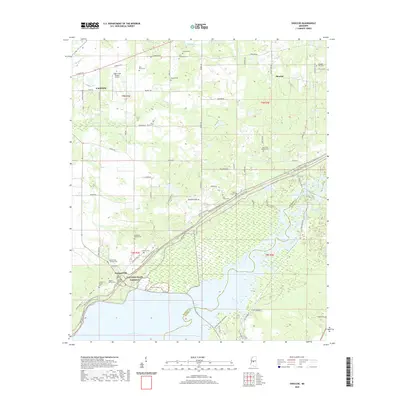
 - 2021 Map of Ludlow, 2021 Print
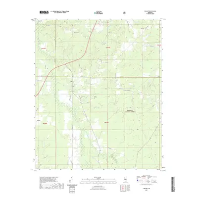 2021 Ludlow2021 Print · USGSCovers Madison County, including Bertice, Ludlow, and other nearby areas
Showing maps 1-25 of 50
Top cities of Madison County
- Madison historical maps
- Ridgeland historical maps
- Canton historical maps
- Gluckstadt historical maps
- Flora historical maps
Frequently asked questions
- What are the different types of historical maps available for Madison County?
- What is the oldest map of Madison County?
- Where can I purchase historical maps of Madison County for my home or office?
- Where can I download high-res historical maps of Madison County?
- Are there historical topographic maps available for Madison County?
- Is there historical aerial imagery available for Madison County?
- Where are historical maps of Madison County sourced from?