2000s (21st Century) Maps of Madison County, Mississippi
Explore 126 historic maps of Madison County from the 2000s (21st Century). These maps offer a rare glimpse into what life looked like during the 2000s — showing old roads, neighborhoods, homes, and landmarks that have changed or disappeared over time.
Whether you're researching your family's past, planning a metal detecting trip, or studying how Madison County's landscape evolved across the 2000s, these high-resolution maps are a powerful tool for exploring the history of this region.
- Focus on a specific era: All maps on this page are from the 2000s, giving you a focused view of this time period.
- See what’s changed: Compare century-old streets, trails, and buildings to today's modern landscape using overlays and satellite layers.
- Research with precision: Use these maps for genealogy, historical research, land use analysis, or educational projects.
- View, download, or print: Maps are fully viewable online in high resolution, and can be downloaded or printed for your own records.
Start exploring Madison County's history through authentic maps from the 2000s. This is your window into the past.
Madison County, MS maps
(126)- 2000 Map of Ludlow, 2002 Print
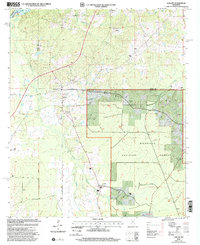 2000 Ludlow2002 Print · USGSScott and Leake counties meet at Ludlow during the late twentieth century, showing a rural Mississippi landscape defined by timber and traditional crossroads. Researchers can trace family ties at Pearson Cem and Mt Zion Ch or explore the wooded reaches of Bienville National Forest.
 - 2012 Map of Ludlow, 2012 Print
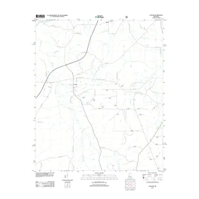 2012 Ludlow2012 Print · USGSLeake County is documented here in the early twenty-first century, showing the rural landscapes around the Pearl River. Genealogists can trace family footprints at Mount Zion Cem, Coward Cem, and the small settlement of Ludlow.
 - 2012 Map of Joseph, 2012 Print
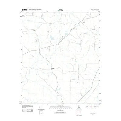 2012 Joseph2012 Print · USGSLeake County is captured here in the early twenty-first century, showing a rural landscape of winding roads and family settlements. Genealogists can trace family names through numerous burial sites like Nash Cem, Jenkins Cem, and Samarra Cem.
 - 2012 Map of Brownsville, 2012 Print
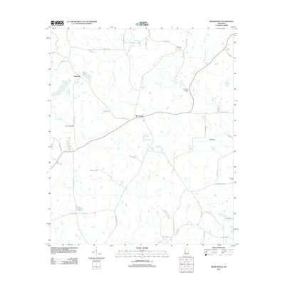 2012 Brownsville2012 Print · USGSHinds County is captured here in the early 2010s, showing a rural landscape of winding creeks and family settlements. Genealogists can trace local roots through Abernathy Cem, the Brownsville Lookout Tower, and family-named routes like Annie Fortner Rd.
 - 2012 Map of Farmhaven, 2012 Print
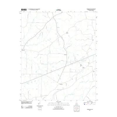 2012 Farmhaven2012 Print · USGSMadison County's rural landscape is captured here in the early twenty-first century, centered on the crossroads communities of Farmhaven and Millville. Genealogists can trace family names through numerous local burial sites like Hayes Cem and Virgin Mary Cem.
 - 2012 Map of Bentonia, 2012 Print
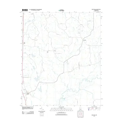 2012 Bentonia2012 Print · USGSIn the early twenty-first century, this Yazoo County landscape remained a network of rural settlements and winding river bottoms. Genealogists can locate family burial sites like Central Holmes Cem and landmarks such as the Yazoo Lookout Tower.
 - 2012 Map of Cameron, 2012 Print
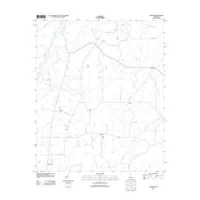 2012 Cameron2012 Print · USGSMadison County in the early 2010s remains a landscape of traditional settlements and resource extraction along the Big Black River. Genealogists can trace family roots through historic sites like Saint Peters Church Cem, Pickens Oil Field, and Truitt.
 - 2012 Map of Camden, 2012 Print
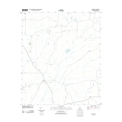 2012 Camden2012 Print · USGSCamden and the surrounding Madison County countryside are captured here in the early 2010s, showing a landscape of dispersed settlements and family-named roads. Researchers can locate community centers like Old Truelight Church, Madison Springs, and the Camden Cem.
 - 2012 Map of Pocahontas, 2012 Print
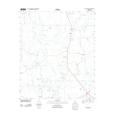 2012 Pocahontas2012 Print · USGSNorthwest of Jackson in the early 2010s, this area shows a rural landscape transitioning through the presence of historic earthworks and small crossroads. Genealogists can locate family sites including Tinnin Cem, Wilson Cem, and the notable Pocahontas Mound.
 - 2012 Map of Sharon SE, 2012 Print
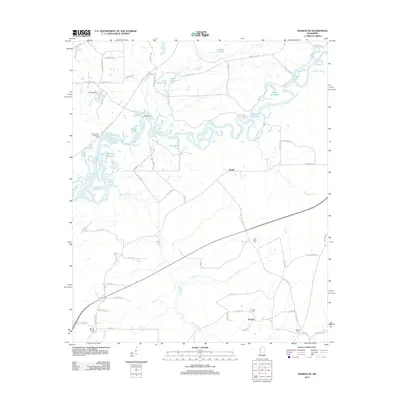 2012 Sharon SE2012 Print · USGSThe Pearl River bottomlands and the shores of the Reservoir define this Mississippi landscape during the early twenty-first century. Genealogists and local researchers can trace rural sites like Eureka, Ratliff, and family-oriented landmarks such as Eureka Cem or Lone Pine Cem.
 - 2012 Map of Flora, 2012 Print
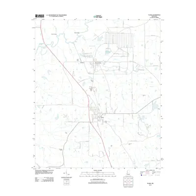 2012 Flora2012 Print · USGSMadison County, Mississippi, is shown in the early 21st century as a landscape of rural crossroads and river bottomlands. Family historians can locate numerous burial sites such as Tarpley Cem and the Woodman Hill Missionary Baptist Church Cem.
 - 2012 Map of Ofahoma, 2012 Print
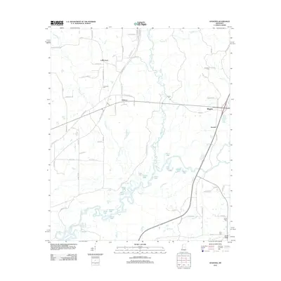 2012 Ofahoma2012 Print · USGSLeake County, Mississippi, is shown here in the early twenty-first century, defined by the winding waters of the Yockanookany River. Researchers can trace rural family sites and local history through Greenwood Cemetery, Ofahoma, and the Natchez Trace Pkwy.
 - 2012 Map of Charlton, 2012 Print
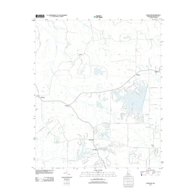 2012 Charlton2012 Print · USGSMadison County at the turn of the decade reveals a landscape transitioning from rural crossroads to developed residential hubs. Genealogists and local historians can trace legacy sites like Anderson Cem alongside the newer growth at Annandale and Stribling Lake.
 - 2012 Map of Madison, 2012 Print
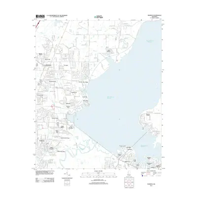 2012 Madison2012 Print · USGSMadison and the banks of the Ross R Barnett Reservoir are captured here during a period of rapid suburban development. Genealogists and local historians can locate numerous burial sites like Jessamine Cem and landmarks such as the Mount Charity Missionary Baptist Church.
 - 2012 Map of Goshen Springs, 2012 Print
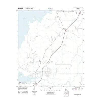 2012 Goshen Springs2012 Print · USGSIn the early twenty-first century, these Rankin County communities sit at the intersection of rural heritage and the expanding Ross R Barnett Reservoir. Genealogists can trace family lines through several local sites like Fannin Cem and the McLaurin Cem, while pilots can locate the small Woodbridge Airport.
 - 2012 Map of Way, 2012 Print
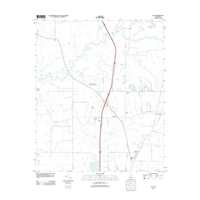 2012 Way2012 Print · USGSMadison County in the early twenty-first century reveals a landscape defined by the winding Big Black River and a network of historic rural settlements. Researchers can trace family roots through numerous local sites like the Leggitt Family Cem, Thornton Chapel, and Mill Town.
 - 2012 Map of Berryville, 2012 Print
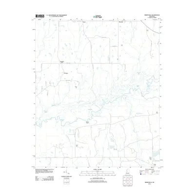 2012 Berryville2012 Print · USGSMadison County's river-fed lowlands and small crossroads are documented here in the early twenty-first century. Genealogists and local historians can locate family burial sites at Mount Zion Cem and Rucker Cem or trace the winding Big Black River.
 - 2012 Map of Vaughan, 2012 Print
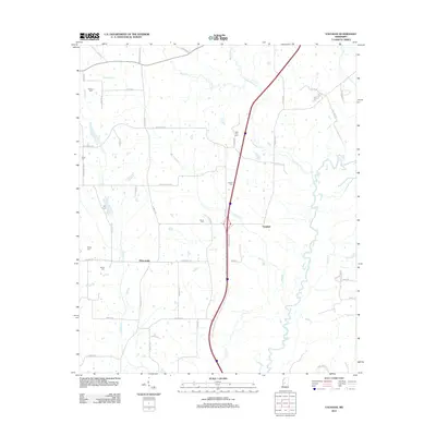 2012 Vaughan2012 Print · USGSVaughan and Deasonville appear here in the early twenty-first century, a landscape defined by the winding Big Black River. Researchers can trace old family burial sites including Williams Cem, Alsop Cem, and New Zion Cem along the rural roads.
 - 2012 Map of Shoccoe, 2012 Print
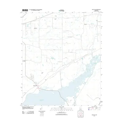 2012 Shoccoe2012 Print · USGSMadison County in the early twenty-first century is defined by the expansive northern reaches of the Ross R Barnett Reservoir. Researchers can trace old family sites and rural landmarks like the Galloway Family Cem and the historic Old Natchez Trce.
 - 2012 Map of Canton, 2012 Print
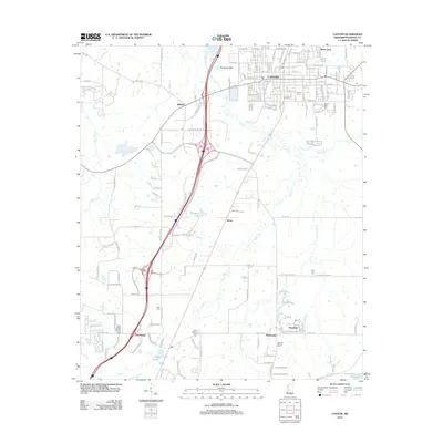 2012 Canton2012 Print · USGSMadison County at the start of the 2010s shows a landscape of growing communities and rural reaches outside the county seat. Genealogists and local researchers can locate landmarks like Saint Joseph Catholic Church, Canton Cem, and the settlement of Gluckstadt.
 - 2012 Map of Sharon, 2012 Print
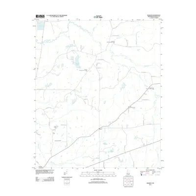 2012 Sharon2012 Print · USGSMadison County at the start of the 2010s remains a landscape of quiet communities and winding creek bottoms. Researchers can trace family ties through several churchyards like Saint Paul Missionary Baptist Church Cem and locate the small settlement of Turnetta.
 - 2012 Map of Thomastown, 2012 Print
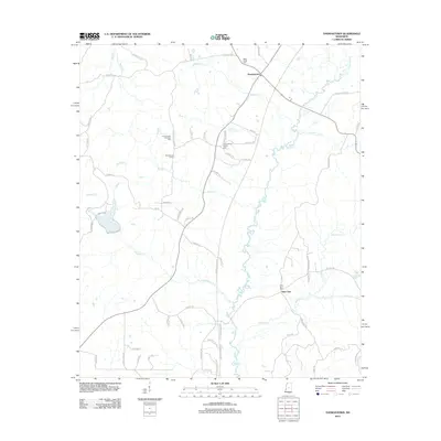 2012 Thomastown2012 Print · USGSLeake County is documented in the early twenty-first century as a landscape of rural settlements and meandering creek bottoms. Genealogists can locate family sites and burial grounds such as Thomastown Christian Cem, Saint Ann Cem, and Wake Forest Cem.
 - 2012 Map of Coxs Ferry, 2012 Print
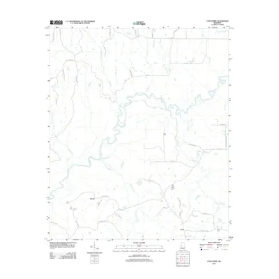 2012 Coxs Ferry2012 Print · USGSHinds County rural life at the start of the 2010s is centered around the winding Big Black River and its many tributaries. Researchers can locate family landmarks and rural crossroads such as Nevada, Coxs Ferry, and the Good Hope Baptist Church Cem.
 - 2012 Map of Ridgeland, 2012 Print
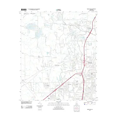 2012 Ridgeland2012 Print · USGSThe northern suburbs of Jackson are shown at a peak of growth in the early 2010s, centering on the city of Ridgeland. Family historians can trace local roots at Rocky Hill Methodist Cem, Missionary Baptist Church Cem, and the community of Tougaloo.
 - 2012 Map of Goodman, 2012 Print
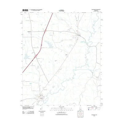 2012 Goodman2012 Print · USGSMississippi river towns and rural cemeteries are documented in this 2012 survey of Holmes County. Genealogists can trace family roots through Hillcrest Cem, Pickens Cem, and Quiet Ridge Cem along the Big Black River.
Showing maps 1-25 of 126
Top cities of Madison County
- Madison historical maps
- Ridgeland historical maps
- Canton historical maps
- Gluckstadt historical maps
- Flora historical maps
Frequently asked questions
- What are the different types of historical maps available for Madison County?
- What is the oldest map of Madison County?
- Where can I purchase historical maps of Madison County for my home or office?
- Where can I download high-res historical maps of Madison County?
- Are there historical topographic maps available for Madison County?
- Is there historical aerial imagery available for Madison County?
- Where are historical maps of Madison County sourced from?