2020s Maps of Newton County, Mississippi
Explore 32 historic maps of Newton County from the 2020s. These maps offer a rare glimpse into what life looked like during the 2020s — showing old roads, neighborhoods, homes, and landmarks that have changed or disappeared over time.
Whether you're researching your family's past, planning a metal detecting trip, or studying how Newton County's landscape evolved across the 2020s, these high-resolution maps are a powerful tool for exploring the history of this region.
- Focus on a specific era: All maps on this page are from the 2020s, giving you a focused view of this time period.
- See what’s changed: Compare century-old streets, trails, and buildings to today's modern landscape using overlays and satellite layers.
- Research with precision: Use these maps for genealogy, historical research, land use analysis, or educational projects.
- View, download, or print: Maps are fully viewable online in high resolution, and can be downloaded or printed for your own records.
Start exploring Newton County's history through authentic maps from the 2020s. This is your window into the past.
Newton County, MS maps
(32)- 2020 Map of Post, 2020 Print
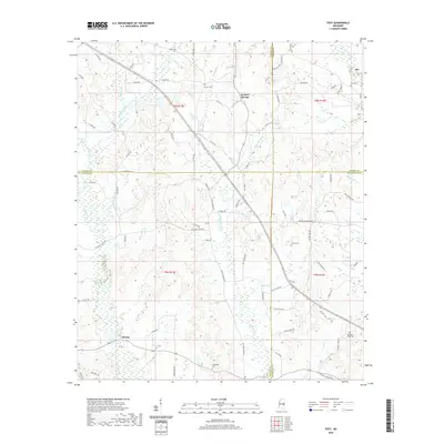 2020 Post2020 Print · USGSThe crossroads of East Central Mississippi are documented here during the early twenty-first century. Genealogists can locate family landmarks like Trussel Cem and Friendship Cem near rural settlements like Perdue and Herbert Springs.
 - 2020 Map of Rose Hill, 2020 Print
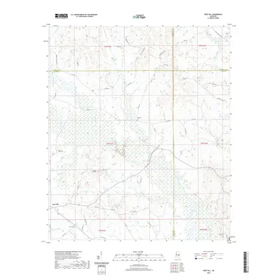 2020 Rose Hill2020 Print · USGSJasper and Newton counties meet at the crossroads of the rural South in this 2020 survey of the Rose Hill area. Researchers can locate family landmarks and community history at Fellowship Cem, Rose Hill, and Pleasant Grove Cem.
 - 2020 Map of Duffee, 2020 Print
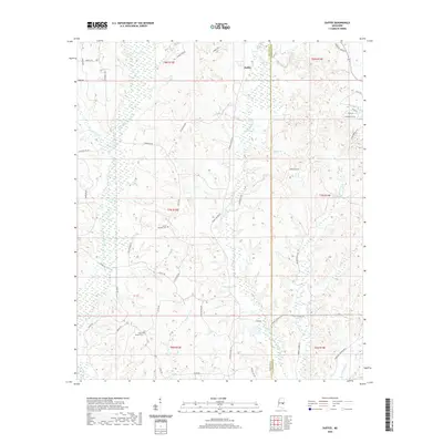 2020 Duffee2020 Print · USGSNewton and Lauderdale counties are documented here in the early twenty-first century, showcasing a rural landscape defined by the Tallashua Creek watershed. Researchers can trace family history at Mount Carmon Cem or explore the area around Duffee and Daniel Lake.
 - 2020 Map of Chunky, 2020 Print
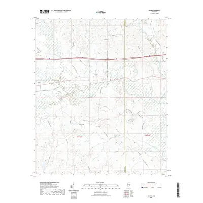 2020 Chunky2020 Print · USGSNewton and Lauderdale counties appear in this recent survey at the meeting of the Chunky River and Okatibbee Creek. Local researchers can trace family landmarks and rural routes, including Saint Marks Cem, McGee Cem, and the path of Chunky Duffee Rd.
 - 2020 Map of Conehatta, 2020 Print
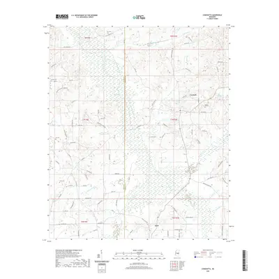 2020 Conehatta2020 Print · USGSThe Scott and Newton county line comes alive in the modern era, showing a landscape defined by the wetlands of Tuscolameta Creek. Researchers can locate several historical burial sites including Futchs Cem and Lay Cem near the old crossroads of Conehatta.
 - 2020 Map of Hero, 2020 Print
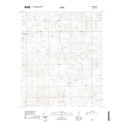 2020 Hero2020 Print · USGSAcross the Newton and Jasper county line during the early twenty-first century, this area shows a quiet landscape of small settlements and creeks. Genealogists can locate Garlandville Cem and Hopewell Cem or trace the winding paths of Scotchenflipper Cr and Penantly Cr.
 - 2020 Map of Sebastopol, 2020 Print
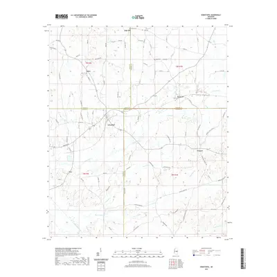 2020 Sebastopol2020 Print · USGSCrossing four county lines in the early twenty-first century, this area centers on the town of Sebastopol and its rural neighbors. Researchers can trace family history through local landmarks like Milldale Cem and the crossroads at Kitchener or Prospect.
 - 2020 Map of Union West, 2020 Print
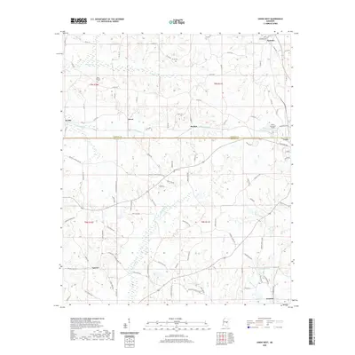 2020 Union West2020 Print · USGSThe rural borderlands between Neshoba and Newton Counties are shown here during the early twenty-first century. Genealogists and local historians can locate several family burial sites such as Abney Cem and trace the paths of Little Sipsey Cr and Chunky Cr near Union.
 - 2020 Map of Decatur, 2020 Print
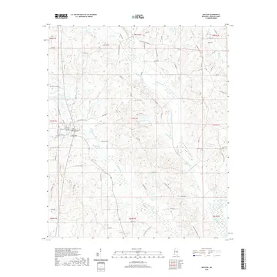 2020 Decatur2020 Print · USGSDecatur and its surrounding Newton County woodlands are shown here in the contemporary era. Researchers can trace the town's layout near East Central Community College and locate family burial sites like Johnson Cem and Brand Cem.
 - 2020 Map of Decatur NW, 2020 Print
 2020 Decatur NW2020 Print · USGSThe Newton County countryside northwest of Decatur is shown here in the early twenty-first century, revealing a rural landscape of creek-fed valleys and family-named roads. Researchers can locate burial sites like Indian Cem and Bufkin Cem or trace the waters of Okohatta Cr and Spring Lake.
 - 2020 Map of Union East, 2020 Print
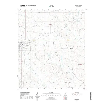 2020 Union East2020 Print · USGSThe borderlands of Neshoba and Newton counties come into focus in this recent survey of Union and its outlying rural communities. Genealogists and local historians can trace property locations near Greenland Cem, Cross Roads Cem, and the winding banks of Chunky Cr.
 - 2020 Map of Hickory, 2020 Print
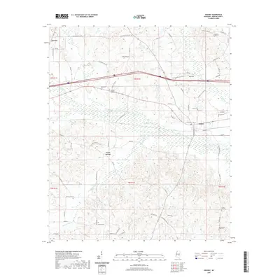 2020 Hickory2020 Print · USGSEast-central Mississippi's Newton County is shown in the modern era as a network of creek-side settlements and rural homesteads. Genealogists can trace family names and locations at the Mississippi Veterans Memorial Cemetery, Old Good Hope Baptist Cemetery, and Spring Hill Cemetery.
 - 2021 Map of Montrose North, 2021 Print
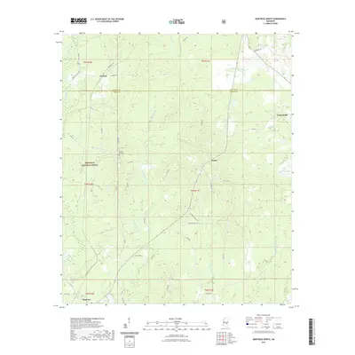 2021 Montrose North2021 Print · USGSNewton and Jasper counties are shown here in the early 2020s, a landscape defined by timberlands and quiet crossroads. Researchers can trace rural lineages at Randall Hill Cem or follow the creeks of Bienville National Forest, including Tallahoma Cr and Beaver Cr.
 - 2021 Map of Clear Springs, 2021 Print
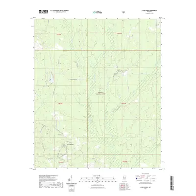 2021 Clear Springs2021 Print · USGSThe wooded borderlands of Scott, Newton, Smith, and Jasper Counties come alive in this detailed survey of the Bienville National Forest. Genealogists and hikers can trace the paths to Clear Springs Baptist Church Cem, Burnett Cem, and the Marathon Lake Hiking Tr.
 - 2021 Map of Newton, 2021 Print
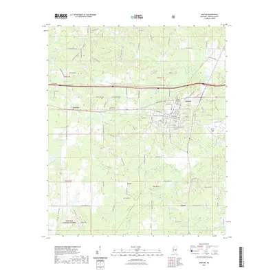 2021 Newton2021 Print · USGSNewton and Lawrence are documented here in the early 2020s, showcasing a landscape of railway corridors and deep forest. Genealogists can locate several historic burial grounds, including the Doolittle Confederate Cem, Masonic Cem, and Evans Cem.
 - 2021 Map of Lake, 2021 Print
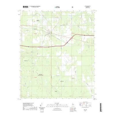 2021 Lake2021 Print · USGSThe rural border of Scott and Newton counties is captured here in the early twenty-first century, showing the quiet growth of forest-side communities. Researchers can trace family sites like Dennis Settlement and Eureka Cem or locate the historic town center of Lake.
 - 2024 Map of Chunky, 2024 Print
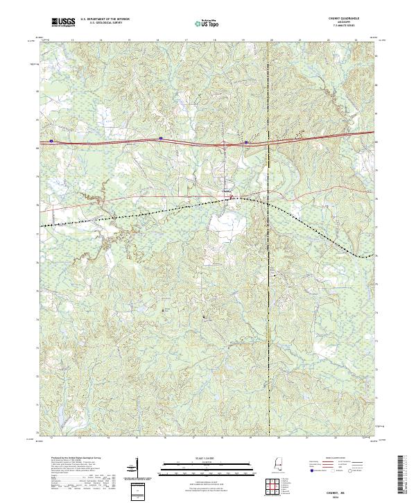 2024 Chunky2024 Print · USGSThe Mississippi town of Chunky and its surrounding river valleys are documented in this contemporary survey. Family historians can trace local roots at Saint Marks Cem or along rural routes like Walls Crossing Rd and New Providence Church Rd.
 - 2024 Map of Duffee, 2024 Print
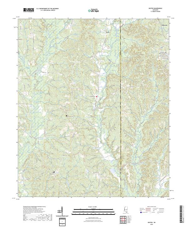 2024 Duffee2024 Print · USGSNewton and Lauderdale Counties are mapped here in the 2020s, revealing a landscape defined by the intricate headwaters of the Tallahatta Creek. Researchers can trace old family roads to landmarks like Mount Carmel Cem, Daniel Lake, and the settlement of Duffee.
 - 2024 Map of Sebastopol, 2024 Print
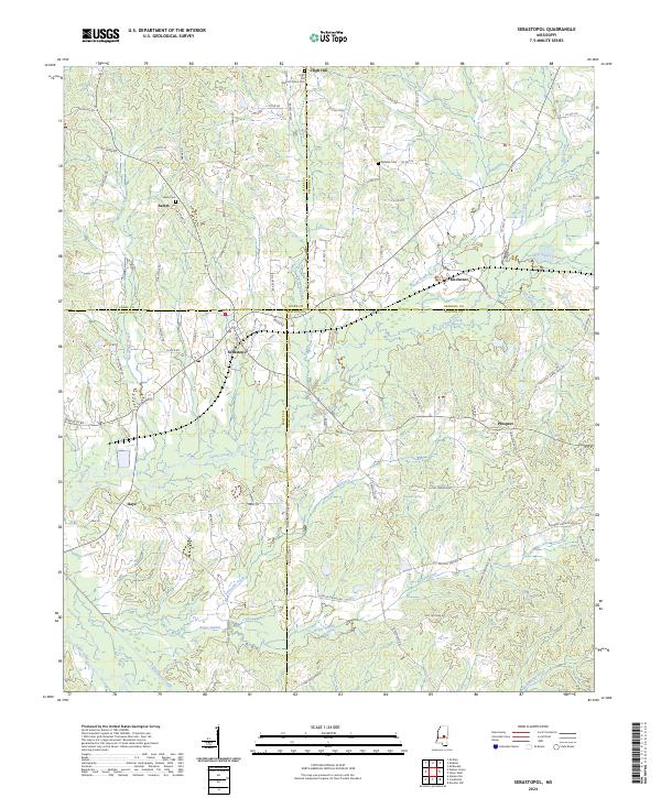 2024 Sebastopol2024 Print · USGSSpanning the meeting point of four Mississippi counties, this modern survey documents the rural communities and watersheds of the central interior. Trace local family roots at High Hill Baptist Church Cem or the settlements of Kitchener and Sebastopol.
 - 2024 Map of Lake, 2024 Print
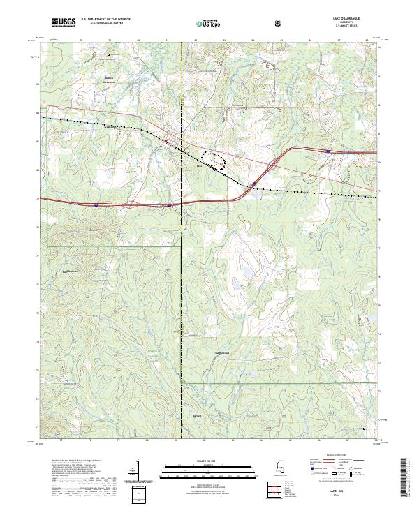 2024 Lake2024 Print · USGSCentral Mississippi's timber and forest lands come into focus in this recent survey of the Newton and Scott County line. Genealogists and local historians can locate family landmarks such as Dennis Settlement, Buckleytown, and the Dennis Cem.
 - 2024 Map of Union East, 2024 Print
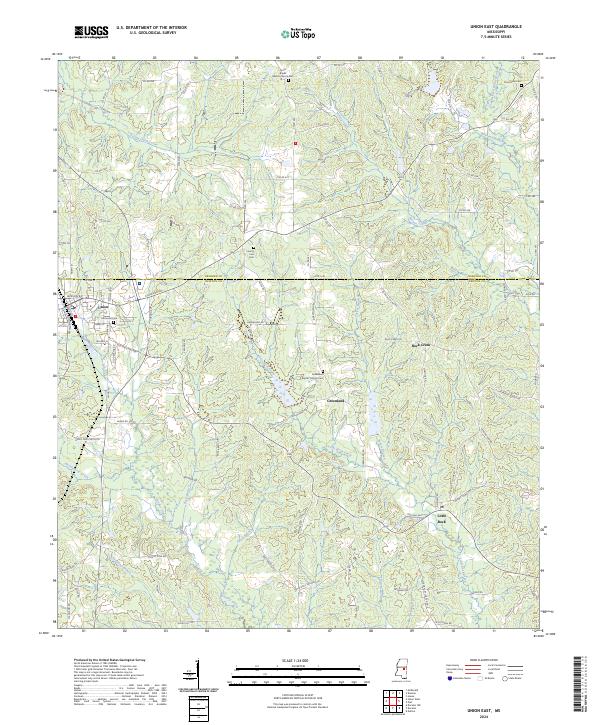 2024 Union East2024 Print · USGSThe borderlands of Neshoba and Newton Counties are revealed here in the early twenty-first century, centered on the town of Union. Researchers can trace local lineage through several rural burial grounds, including Pine Grove Cem and the Greenland Baptist Church Cem.
 - 2024 Map of Conehatta, 2024 Print
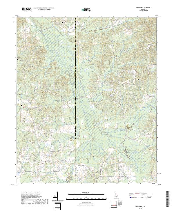 2024 Conehatta2024 Print · USGSConehatta and the Scott-Newton county line are shown here in modern detail, where the headwaters of Tuscolameta Creek meet historical timber lands. Local researchers can trace family burial grounds like Amis Cem and Lay Cem alongside old thoroughfares like Old Jackson Rd.
 - 2024 Map of Post, 2024 Print
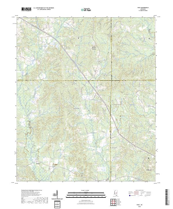 2024 Post2024 Print · USGSThe intersection of four Mississippi counties comes alive in this recent survey of the rural landscape around Herbert Springs. Genealogists and local historians can trace family locations through numerous sites like Antioch Cem, Trussel Cem, and the roads surrounding Perdue.
 - 2024 Map of Clear Springs, 2024 Print
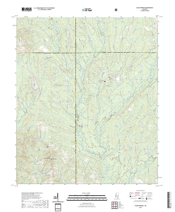 2024 Clear Springs2024 Print · USGSThe Jasper and Smith County line in the 2020s remains a landscape of managed timber and quiet rural life within the Bienville National Forest. Genealogists can trace local roots through the Clear Springs Baptist Church Cem, Decedar Baptist Church Cem, and the secluded Burnett Cem.
 - 2024 Map of Union West, 2024 Print
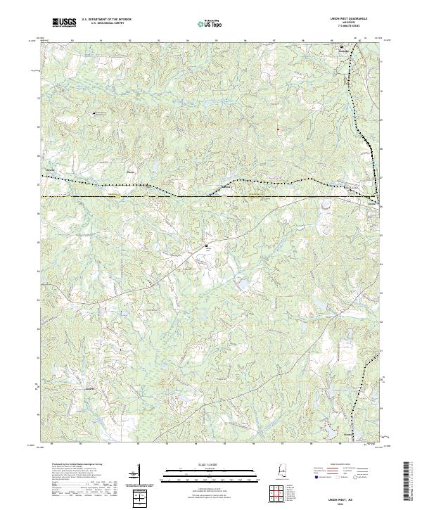 2024 Union West2024 Print · USGSNewton and Neshoba Counties appear here in the early twenty-first century, showing a rural landscape of dispersed settlements and winding creeks. Genealogists can locate family landmarks like Abney Cem, Neshoba Cem, and the communities of Dover and Stratton.
Showing maps 1-25 of 32
Top cities of Newton County
Frequently asked questions
- What are the different types of historical maps available for Newton County?
- What is the oldest map of Newton County?
- Where can I purchase historical maps of Newton County for my home or office?
- Where can I download high-res historical maps of Newton County?
- Are there historical topographic maps available for Newton County?
- Is there historical aerial imagery available for Newton County?
- Where are historical maps of Newton County sourced from?