2010s Maps of Newton County, Mississippi
Explore 48 historic maps of Newton County from the 2010s. These maps offer a rare glimpse into what life looked like during the 2010s — showing old roads, neighborhoods, homes, and landmarks that have changed or disappeared over time.
Whether you're researching your family's past, planning a metal detecting trip, or studying how Newton County's landscape evolved across the 2010s, these high-resolution maps are a powerful tool for exploring the history of this region.
- Focus on a specific era: All maps on this page are from the 2010s, giving you a focused view of this time period.
- See what’s changed: Compare century-old streets, trails, and buildings to today's modern landscape using overlays and satellite layers.
- Research with precision: Use these maps for genealogy, historical research, land use analysis, or educational projects.
- View, download, or print: Maps are fully viewable online in high resolution, and can be downloaded or printed for your own records.
Start exploring Newton County's history through authentic maps from the 2010s. This is your window into the past.
Newton County, MS maps
(48)- 2012 Map of Post, 2012 Print
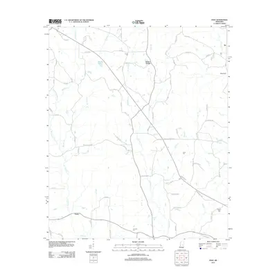 2012 Post2012 Print · USGSThis rural Mississippi landscape in the early 2010s reveals a network of family-named roads and small settlements centered around the waters of Tallahatta Cr. Genealogists can locate several historic burial sites, including Antioch Cem and Trussel Cem, alongside the communities of Perdue and Post.
 - 2012 Map of Duffee, 2012 Print
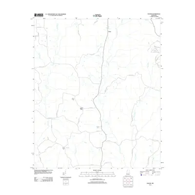 2012 Duffee2012 Print · USGSThe rural landscape of Newton County is detailed here during the early twenty-first century, centered on the communities of Duffee and Center Ridge. Researchers can trace local lineage through Mount Carmon Cem or follow the complex waterways of Tallashua Cr and Daniel Lake.
 - 2012 Map of Rose Hill, 2012 Print
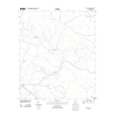 2012 Rose Hill2012 Print · USGSJasper County in the early twenty-first century remains a landscape of quiet rural settlements and intertwined waterways. Genealogists and local historians can trace family locations near Rose Hill or locate the Fellowship Cem and Green Valley Cem along the banks of Souenlouie Cr.
 - 2012 Map of Chunky, 2012 Print
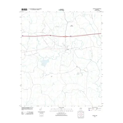 2012 Chunky2012 Print · USGSNewton County's creek-fed landscape is captured here in the early twenty-first century, centered on the historic town of Chunky. Family researchers can trace local roots through Saint Marks Cem, McGee Cem, and the rural community of New Providence.
 - 2012 Map of Union West, 2012 Print
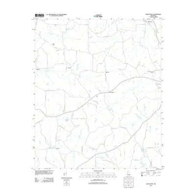 2012 Union West2012 Print · USGSNewton and Neshoba counties come into focus during this 2012 survey of the rural landscape west of Union. Researchers can locate family burial grounds at Beech Springs Cem and Abney Cem, or trace the winding courses of Conehatta Cr and Little Sipsey Cr.
 - 2012 Map of Hero, 2012 Print
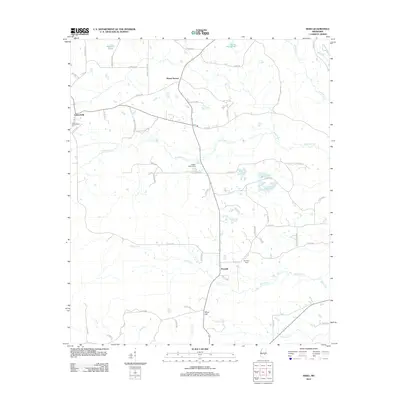 2012 Hero2012 Print · USGSNewton County remains deeply rural in the early twenty-first century, characterized by scattered family settlements and quiet creek bottoms. Genealogists can locate the Garlandville Cem and Hopewell Cem or trace property near Hero and Moss Hill.
 - 2012 Map of Clear Springs, 2012 Print
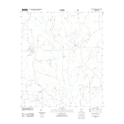 2012 Clear Springs2012 Print · USGSScott County forest lands and rural settlements are documented here in the early twenty-first century. Researchers can trace local lineage at Decedar Baptist Cem or explore the geography of Marathon Lake and the Bienville Forest Oil Field.
 - 2012 Map of Montrose North, 2012 Print
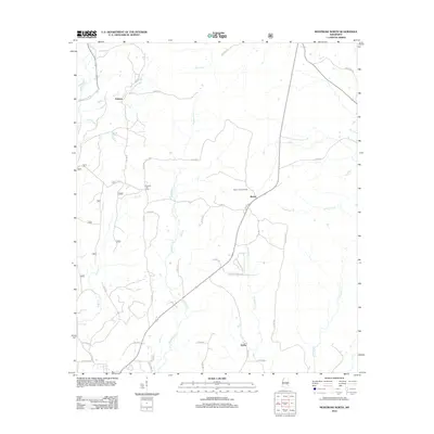 2012 Montrose North2012 Print · USGSJasper County timberlands and rural crossroads are captured here in the early twenty-first century. Researchers can locate family landmarks like Randall Hill Cem or trace the reach of Tallahoma Cr near the Baxter Lookout Tower.
 - 2012 Map of Sebastopol, 2012 Print
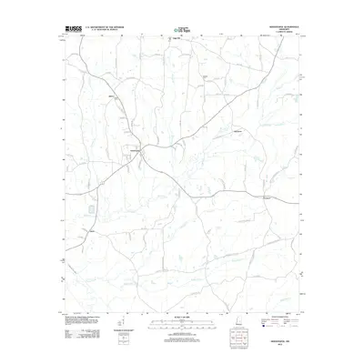 2012 Sebastopol2012 Print · USGSNeshoba and Scott counties appear here in the early twenty-first century, showing a rural landscape defined by creek drainages and timberland. Researchers can trace the layout of small communities like Sebastopol and Kitchener, or locate family sites near Salem Cem and High Hill.
 - 2012 Map of Lake, 2012 Print
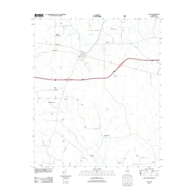 2012 Lake2012 Print · USGSCentral Mississippi in the early 2010s reveals a landscape of small rural hubs and historic family settlements near the Scott County line. Genealogists and local historians can trace the roads connecting Lake and Buckleytown to landmarks like Dennis Cem and the Patrons Union Campground.
 - 2012 Map of Newton, 2012 Print
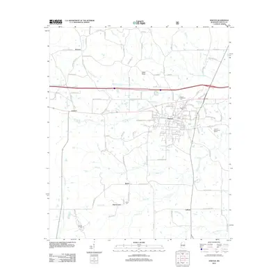 2012 Newton2012 Print · USGSNewton County in the early twenty-first century is centered on the busy crossroads of Newton and its surrounding rural hamlets. Family historians can trace local roots through the Doolittle Confederate Cem, the Evans Cem, and smaller settlements like Cedar Grove or Lawrence.
 - 2012 Map of Hickory, 2012 Print
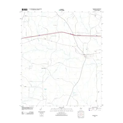 2012 Hickory2012 Print · USGSNewton County's agricultural heartland is documented here in the early 21st century, centered on the historic rail town of Hickory. Researchers can trace old family settlements and rural cemeteries like Old Norman Cem and Spring Hill Cem along the banks of Potterchitto Cr.
 - 2012 Map of Conehatta, 2012 Print
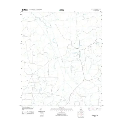 2012 Conehatta2012 Print · USGSConehatta and the rural stretches of Scott County are captured here in the early twenty-first century. Researchers can trace family roots through several local burial sites, such as Summers Cem and Lay Cem, or locate landmarks like Big Lake and Carson Pond.
 - 2012 Map of Decatur, 2012 Print
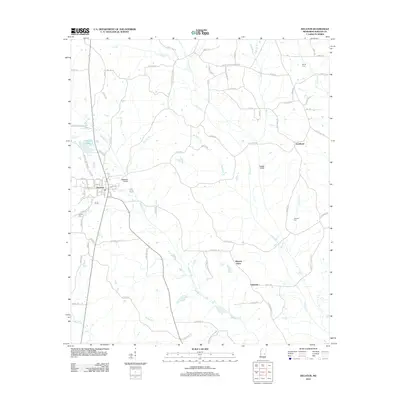 2012 Decatur2012 Print · USGSNewton County, Mississippi, is shown here in the early 21st century as a landscape of rural communities and managed waterways. Genealogists and local historians can locate several family burial sites like Brand Cem or trace the routes to Blounts Store and Lebanon.
 - 2012 Map of Union East, 2012 Print
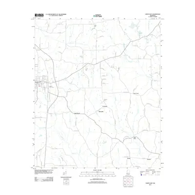 2012 Union East2012 Print · USGSThe town of Union and its rural neighbors are captured here in the early twenty-first century, showing the transition from town streets to winding country roads. Genealogists can trace family landmarks like County Line Cem, Greenland, and Little Rock.
 - 2012 Map of Decatur NW, 2012 Print
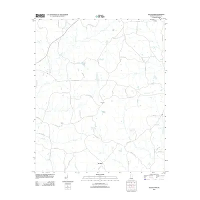 2012 Decatur NW2012 Print · USGSNewton and Mississippi counties are shown in the early twenty-first century, revealing a rural landscape shaped by creek bottomlands and family road networks. Researchers can trace local lineage through sites like Bufkin Cem, Indian Cem, and the old settlement at Stratton.
 - 2015 Map of Decatur, 2015 Print
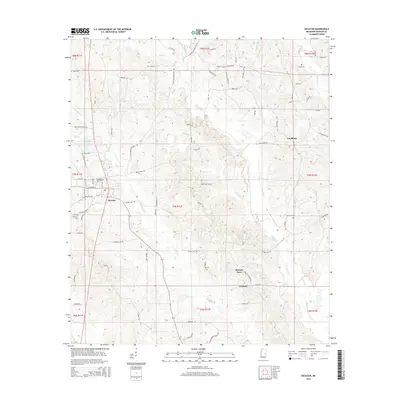 2015 Decatur2015 Print · USGSDecatur and its surrounding Newton County communities are captured here in the mid-2010s. Local researchers can trace the grounds of E Central Community Coll or locate family sites like Brand Cem and Blounts Store along the winding Chunky Cr.
 - 2015 Map of Post, 2015 Print
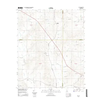 2015 Post2015 Print · USGSCentral Mississippi in the mid-2010s remains a landscape of quiet crossroads and winding creek beds where four counties converge. Genealogists can trace family roots through numerous local landmarks like Antioch Cem, Herbert Springs, and Trussel Cem.
 - 2015 Map of Duffee, 2015 Print
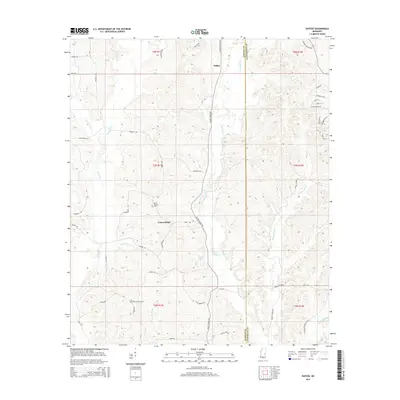 2015 Duffee2015 Print · USGSThe Newton and Lauderdale county line runs through this rural Mississippi landscape as it appeared in 2015. Genealogists can trace family landmarks like Mount Carmon Cem or follow the waters of Tallashatta Cr and Bogue Flower.
 - 2015 Map of Clear Springs, 2015 Print
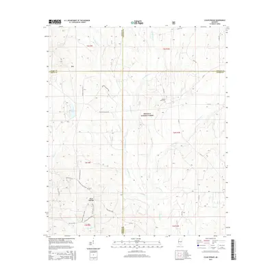 2015 Clear Springs2015 Print · USGSCentral Mississippi's timberlands and county intersections are captured here in the mid-2010s. Researchers can locate family sites at Decedar Baptist Cem and trace the paths of W Tallahala Cr through the Bienville National Forest.
 - 2015 Map of Rose Hill, 2015 Print
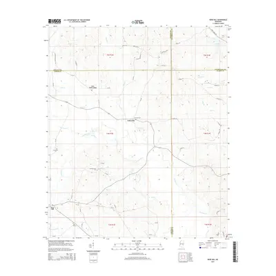 2015 Rose Hill2015 Print · USGSEastern Mississippi's rural crossroads are captured here during the mid-2010s, where the headwaters of Souenlovie Cr meet the boundaries of four counties. Researchers can locate family landmarks like Rose Hill Cem, Green Valley Cem, and the community of New Fellowship.
 - 2015 Map of Chunky, 2015 Print
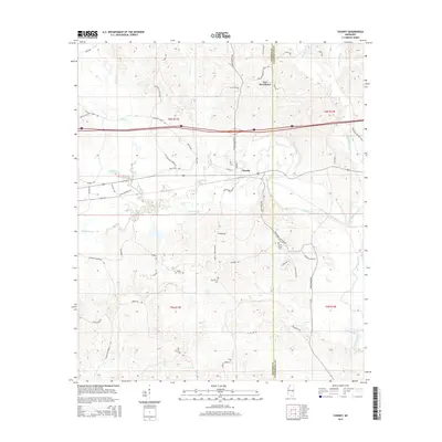 2015 Chunky2015 Print · USGSMississippi's piney woods and river valleys are captured here in the mid-2010s as the Chunky River flows past the town of Chunky. Local historians can trace family roots at Saint Marks Cem or follow old routes like Walls Crossing Rd and Pleasant Ridge Rd.
 - 2015 Map of Montrose North, 2015 Print
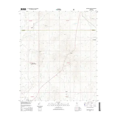 2015 Montrose North2015 Print · USGSNewton and Jasper counties meet in this rural Mississippi landscape as it appeared in the mid-2010s. Genealogists can trace family footprints at Garlandville Cem or locate the small settlements of Roberts, Verba, and Montrose along the creek-fed hills.
 - 2015 Map of Union East, 2015 Print
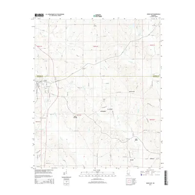 2015 Union East2015 Print · USGSThe border of Neshoba and Newton counties comes alive in this study of Union and its rural neighbors during the mid-2010s. Trace local family history through sites like Cross Roads Cem, Greenland, and the settlement at Rock Branch.
 - 2015 Map of Newton, 2015 Print
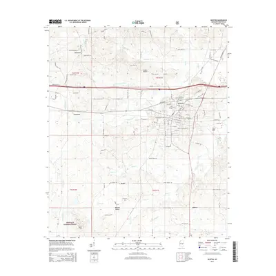 2015 Newton2015 Print · USGSNewton County's rural and town life are documented here in the mid-2010s, showing the intersection of local industry and public lands. Genealogists can locate several historic burial grounds, including the Confederate Cem and Evans Cem, while mapping the woodlots of the Bienville National Forest.
Showing maps 1-25 of 48
Top cities of Newton County
Frequently asked questions
- What are the different types of historical maps available for Newton County?
- What is the oldest map of Newton County?
- Where can I purchase historical maps of Newton County for my home or office?
- Where can I download high-res historical maps of Newton County?
- Are there historical topographic maps available for Newton County?
- Is there historical aerial imagery available for Newton County?
- Where are historical maps of Newton County sourced from?