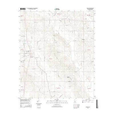
2015 Map of Decatur
USGS Topo · Published 2015About this map
Decatur serves as a central hub in this Mississippi landscape, dominated by the campus of E Central Community Coll and a network of rural routes connecting outlying communities like Goodhope and Lebanon. The terrain is defined by a dense drainage system where Okahatta Cr and Chunky Cr wind through the township boundaries. Family and community history is preserved in sites such as Decatur Cem, Brand Cem, and Johnson Cem, while local commerce is anchored by landmarks like Blounts Store. The engineering of the Chunky Canal reveals attempts to manage the waterways in this creek-veined territory, providing a clear view of the rural infrastructure and settlement patterns in Newton County during the mid-2010s.
Find a feature on this map
86 named features on this map. Tap any name to fly to it.
Don’t see what you’re looking for? This feature index may not catch every label — zoom into the map to look around manually.
Map Details
Editions of this 2015 Decatur Map
This is the sole edition of this map. No revisions or reprints were ever made.
Other maps of this area

1953 · Meridian
USGS Topo · 1:250,000

1957 · Meridian
USGS Topo · 1:250,000

1957 · Chunky
USGS Topo · 1:62,500

1962 · Post
USGS Topo · 1:24,000

1965 · Meridian
USGS Topo · 1:250,000

1966 · Hickory
USGS Topo · 1:24,000

1966 · Newton
USGS Topo · 1:24,000

1966 · Decatur NW
USGS Topo · 1:24,000

1966 · Decatur
USGS Topo · 1:24,000

1972 · Union East
USGS Topo · 1:24,000