2020s Maps of Panola County, Mississippi
Explore 40 historic maps of Panola County from the 2020s. These maps offer a rare glimpse into what life looked like during the 2020s — showing old roads, neighborhoods, homes, and landmarks that have changed or disappeared over time.
Whether you're researching your family's past, planning a metal detecting trip, or studying how Panola County's landscape evolved across the 2020s, these high-resolution maps are a powerful tool for exploring the history of this region.
- Focus on a specific era: All maps on this page are from the 2020s, giving you a focused view of this time period.
- See what’s changed: Compare century-old streets, trails, and buildings to today's modern landscape using overlays and satellite layers.
- Research with precision: Use these maps for genealogy, historical research, land use analysis, or educational projects.
- View, download, or print: Maps are fully viewable online in high resolution, and can be downloaded or printed for your own records.
Start exploring Panola County's history through authentic maps from the 2020s. This is your window into the past.
Panola County, MS maps
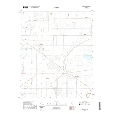
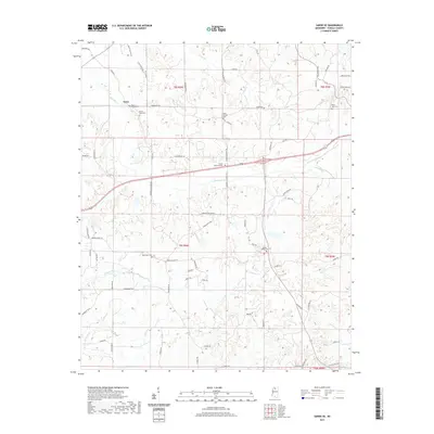
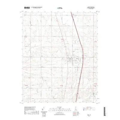
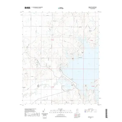
(40)- 2020 Map of Crowder, 2020 Print
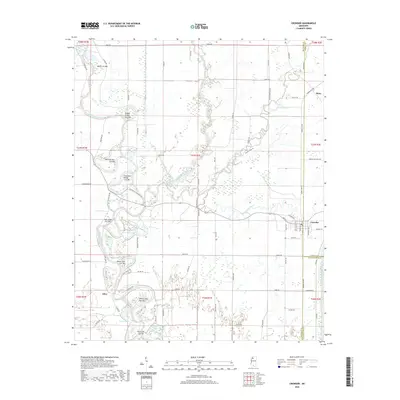 2020 Crowder2020 Print · USGSCovers Panola County, including Mims, Allen, and other nearby areas
 - 2020 Map of Crenshaw North, 2020 Print
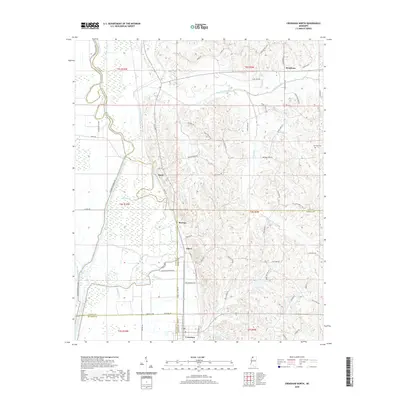 2020 Crenshaw North2020 Print · USGSCovers Panola County, including KJirksey, Buxton, and other nearby areas
 - 2020 Map of Tocowa, 2020 Print
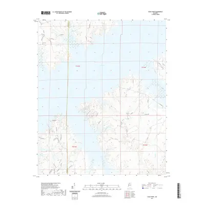
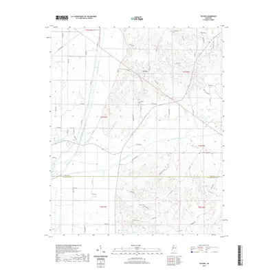 2020 Tocowa2020 Print · USGSCovers Panola County, including Tocowa, Tallahatchie County, and other nearby areas
 - 2020 Map of Pleasant Grove, 2020 Print
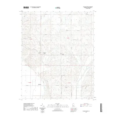 2020 Pleasant Grove2020 Print · USGSCovers Panola County, including Horatio, Kings Corner, and other nearby areas
 - 2020 Map of Curtis Station, 2020 Print
 2020 Curtis Station2020 Print · USGSCovers Panola County, including Riverview, Bobo, and other nearby areas
 - 2020 Map of Crenshaw South, 2020 Print
 2020 Crenshaw South2020 Print · USGSCovers Panola County, including Sledge, Falcon, and other nearby areas
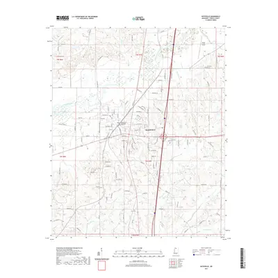
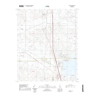
 - 2020 Map of Asa, 2020 Print
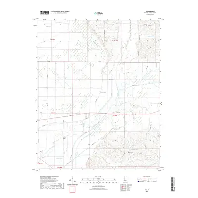 2020 Asa2020 Print · USGSCovers Panola County, including Asa, Chapeltown, and other nearby areas
 - 2020 Map of Longtown, 2020 Print
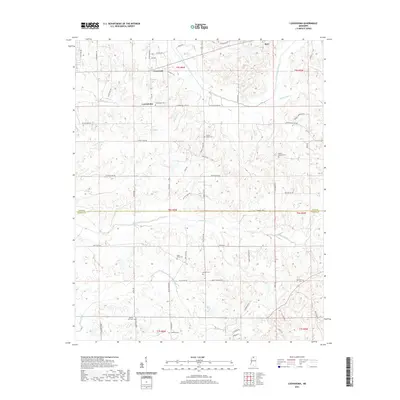
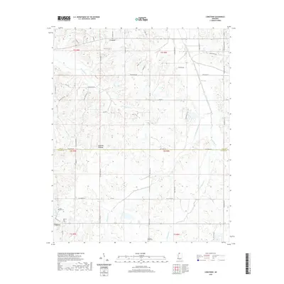 2020 Longtown2020 Print · USGSCovers Panola County, including Senatobia, Longtown, and other nearby areas
 - 2021 Map of Senatobia, 2021 Print
 2021 Senatobia2021 Print · USGSCovers Panola County, including Senatobia, Como, and other nearby areas
 - 2021 Map of Batesville, 2021 Print
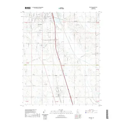
 2021 Batesville2021 Print · USGSCovers Panola County, including Batesville, United States, and other nearby areas
 - 2021 Map of Tyro, 2021 Print
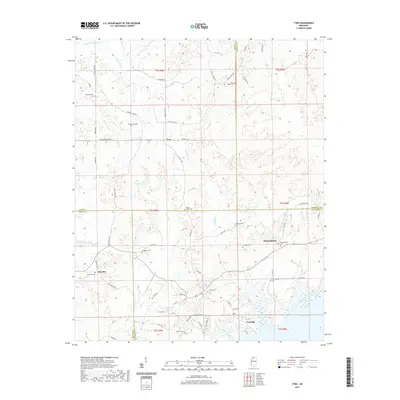 2021 Tyro2021 Print · USGSCovers Panola County, including Free Springs, Tyro, and other nearby areas
 - 2021 Map of Sardis SE, 2021 Print
 2021 Sardis SE2021 Print · USGSCovers Panola County, including Terza, Mount Olivet, and other nearby areas
 - 2021 Map of Sardis, 2021 Print
 2021 Sardis2021 Print · USGSCovers Panola County, including Sardis, McIvor, and other nearby areas
 - 2021 Map of Courtland, 2021 Print
 2021 Courtland2021 Print · USGSCovers Panola County, including Courtland, Pope, and other nearby areas
 - 2021 Map of Splinter, 2021 Print
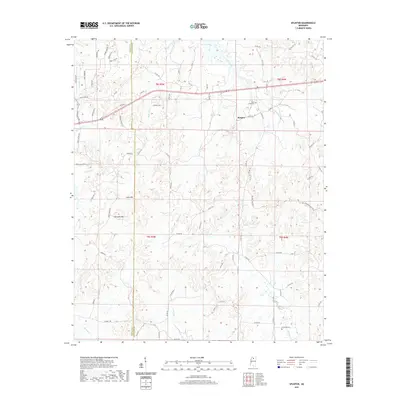 2021 Splinter2021 Print · USGSCovers Panola County, including Wallace, Burgess, and other nearby areas
 - 2021 Map of Shuford, 2021 Print
 2021 Shuford2021 Print · USGSCovers Panola County, including Water Valley Landing, Long Branch, and other nearby areas
 - 2021 Map of Looxahoma, 2021 Print
 2021 Looxahoma2021 Print · USGSCovers Panola County, including Crossroad, Barr, and other nearby areas
 - 2021 Map of Water Valley West, 2021 Print
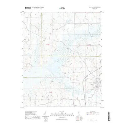 2021 Water Valley West2021 Print · USGSCovers Panola County, including Water Valley, Camp Ground, and other nearby areas
 - 2021 Map of Coles Point, 2021 Print
 2021 Coles Point2021 Print · USGSCovers Panola County, including Lafayette County, United States, and other nearby areas
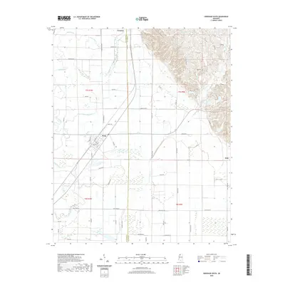
 - 2021 Map of Sardis Dam, 2021 Print
 2021 Sardis Dam2021 Print · USGSCovers Panola County, including Hayes Crossing, Lespedeza, and other nearby areas
 - 2024 Map of Splinter, 2024 Print
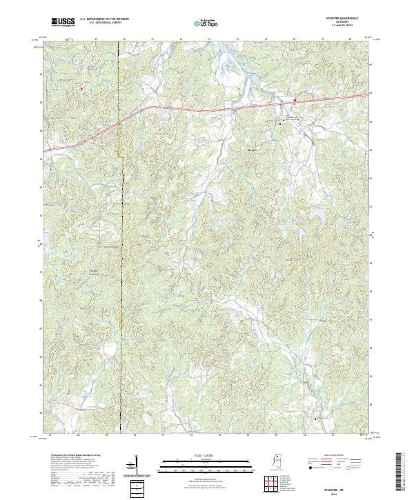 2024 Splinter2024 Print · USGSLafayette County and the Panola County line are shown here in the 2020s, featuring a landscape of prominent ridges and creek bottoms. Researchers can locate family landmarks such as Browning Cem and the dual church sites at Clear Creek Baptist Church Cem.
 - 2024 Map of Longtown, 2024 Print
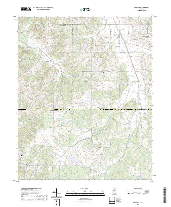 2024 Longtown2024 Print · USGSNorthern Mississippi's creek-fed landscape comes into focus in this recent survey of the Panola and Tate county line. Trace family sites at Askew Grove Cem or follow the paths of Arkabutla Creek and the settlement of Longtown.
 - 2024 Map of Pleasant Grove, 2024 Print
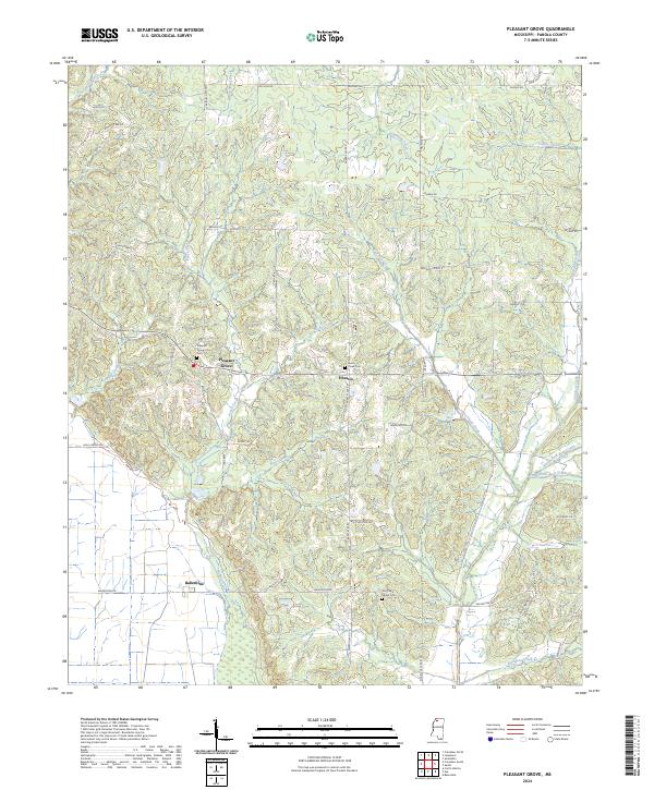 2024 Pleasant Grove2024 Print · USGSPanola County's rural landscape is captured here in recent years, showing the persistent settlement patterns of the Mississippi hill country. Genealogists and local historians can trace family roots through sites like Pleasant Grove Cem, Shiloh Cem, and the community of Ballentine.
 - 2024 Map of Curtis Station, 2024 Print
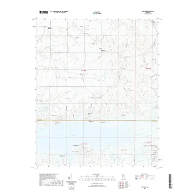
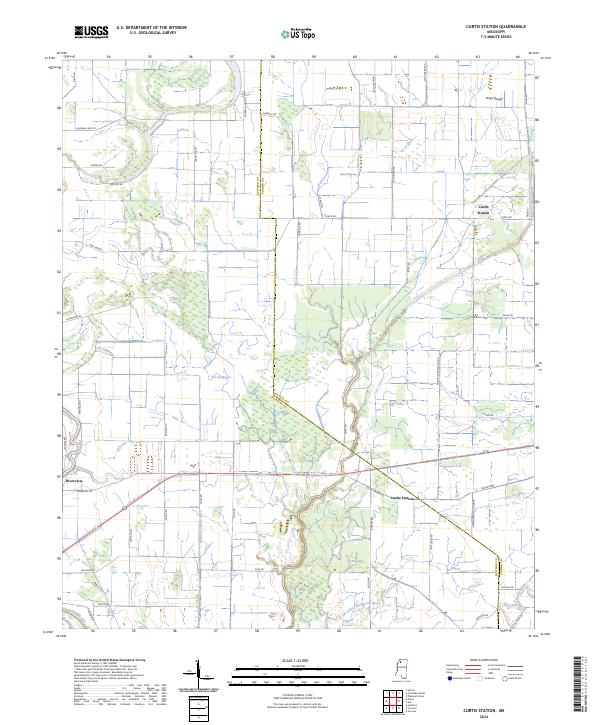 2024 Curtis Station2024 Print · USGSThe northern Mississippi Delta landscape comes into focus here, where the borders of Quitman and Panola counties meet amidst a network of bayous. Researchers can trace the drainage patterns of Viney Rough and the historical footprints of Curtis Station and Locke Station.
 - 2024 Map of Sardis SE, 2024 Print
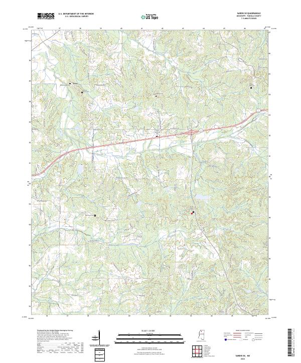 2024 Sardis SE2024 Print · USGSPanola County's rural character and long-standing community centers are well-preserved in this modern survey of North Mississippi. Genealogists can trace family footprints across several historical burial sites, including Mount Gillian Cem and Black Jack Cem.
Showing maps 1-25 of 40
Top cities of Panola County
- Batesville historical maps
- Sardis historical maps
- Como historical maps
- Courtland historical maps
- Pope historical maps
Frequently asked questions
- What are the different types of historical maps available for Panola County?
- What is the oldest map of Panola County?
- Where can I purchase historical maps of Panola County for my home or office?
- Where can I download high-res historical maps of Panola County?
- Are there historical topographic maps available for Panola County?
- Is there historical aerial imagery available for Panola County?
- Where are historical maps of Panola County sourced from?