2000s (21st Century) Maps of Panola County, Mississippi
Explore 100 historic maps of Panola County from the 2000s (21st Century). These maps offer a rare glimpse into what life looked like during the 2000s — showing old roads, neighborhoods, homes, and landmarks that have changed or disappeared over time.
Whether you're researching your family's past, planning a metal detecting trip, or studying how Panola County's landscape evolved across the 2000s, these high-resolution maps are a powerful tool for exploring the history of this region.
- Focus on a specific era: All maps on this page are from the 2000s, giving you a focused view of this time period.
- See what’s changed: Compare century-old streets, trails, and buildings to today's modern landscape using overlays and satellite layers.
- Research with precision: Use these maps for genealogy, historical research, land use analysis, or educational projects.
- View, download, or print: Maps are fully viewable online in high resolution, and can be downloaded or printed for your own records.
Start exploring Panola County's history through authentic maps from the 2000s. This is your window into the past.
Panola County, MS maps
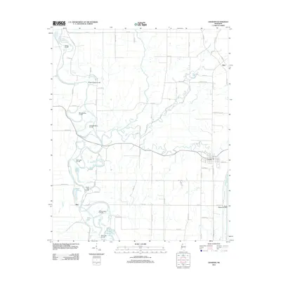
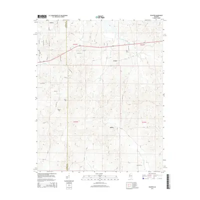
(100)- 2012 Map of Sardis SE, 2012 Print
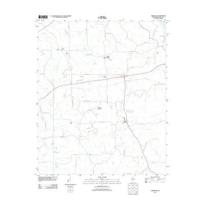 2012 Sardis SE2012 Print · USGSCovers Panola County, including Terza, Mount Olivet, and other nearby areas
 - 2012 Map of Water Valley West, 2012 Print
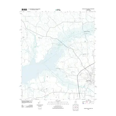 2012 Water Valley West2012 Print · USGSCovers Panola County, including Water Valley, Camp Ground, and other nearby areas
 - 2012 Map of Sardis, 2012 Print
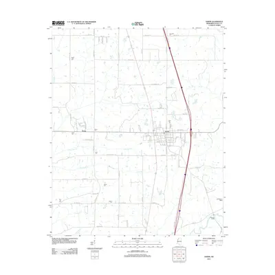 2012 Sardis2012 Print · USGSCovers Panola County, including Sardis, McIvor, and other nearby areas
 - 2012 Map of Splinter, 2012 Print
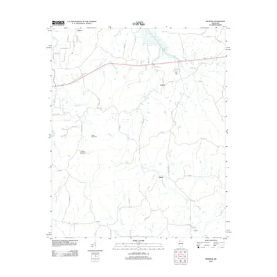 2012 Splinter2012 Print · USGSCovers Panola County, including Wallace, Burgess, and other nearby areas
 - 2012 Map of Looxahoma, 2012 Print
 2012 Looxahoma2012 Print · USGSCovers Panola County, including Crossroad, Barr, and other nearby areas
 - 2012 Map of Tyro, 2012 Print
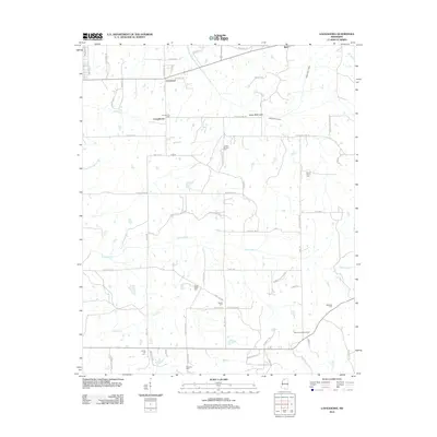
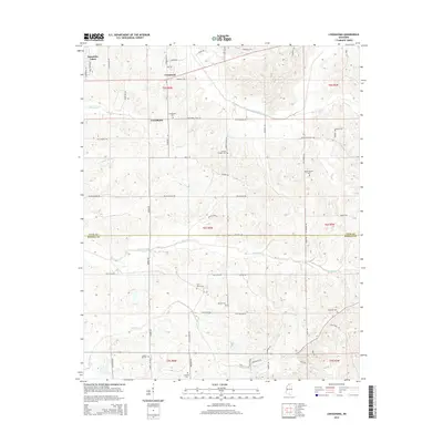
 2012 Tyro2012 Print · USGSCovers Panola County, including Free Springs, Tyro, and other nearby areas
 - 2012 Map of Longtown, 2012 Print
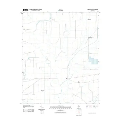
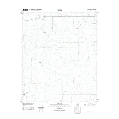 2012 Longtown2012 Print · USGSCovers Panola County, including Senatobia, Longtown, and other nearby areas
 - 2012 Map of Crenshaw North, 2012 Print
 2012 Crenshaw North2012 Print · USGSCovers Panola County, including KJirksey, Buxton, and other nearby areas
 - 2012 Map of Asa, 2012 Print
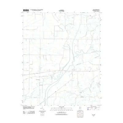 2012 Asa2012 Print · USGSCovers Panola County, including Asa, Chapeltown, and other nearby areas
 - 2012 Map of Tocowa, 2012 Print
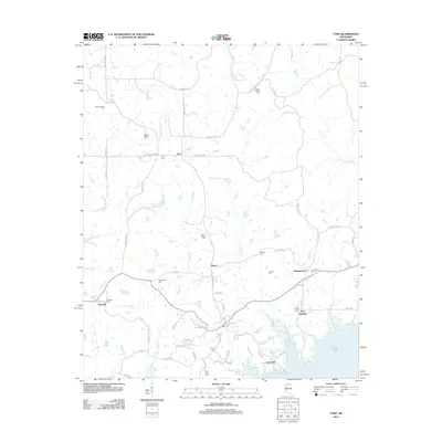
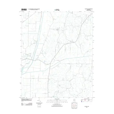 2012 Tocowa2012 Print · USGSCovers Panola County, including Tocowa, Tallahatchie County, and other nearby areas
 - 2012 Map of Senatobia, 2012 Print
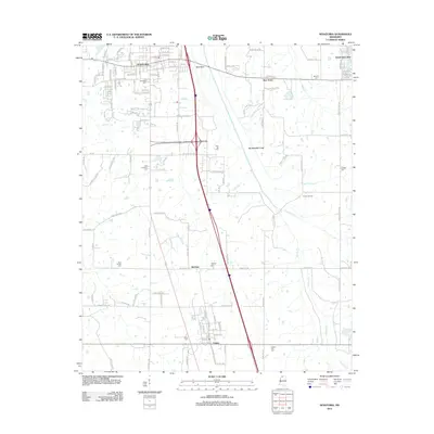 2012 Senatobia2012 Print · USGSCovers Panola County, including Senatobia, Como, and other nearby areas
 - 2012 Map of Batesville, 2012 Print
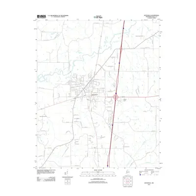 2012 Batesville2012 Print · USGSCovers Panola County, including Batesville, United States, and other nearby areas
 - 2012 Map of Courtland, 2012 Print
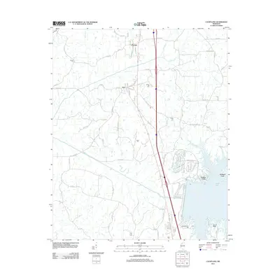 2012 Courtland2012 Print · USGSCovers Panola County, including Courtland, Pope, and other nearby areas
 - 2012 Map of Coles Point, 2012 Print
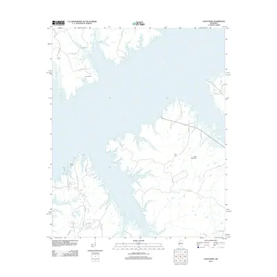 2012 Coles Point2012 Print · USGSCovers Panola County, including Lafayette County, United States, and other nearby areas
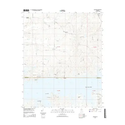
 - 2012 Map of Sardis Dam, 2012 Print
 2012 Sardis Dam2012 Print · USGSCovers Panola County, including Hayes Crossing, Lespedeza, and other nearby areas
 - 2012 Map of Shuford, 2012 Print
 2012 Shuford2012 Print · USGSCovers Panola County, including Water Valley Landing, Long Branch, and other nearby areas
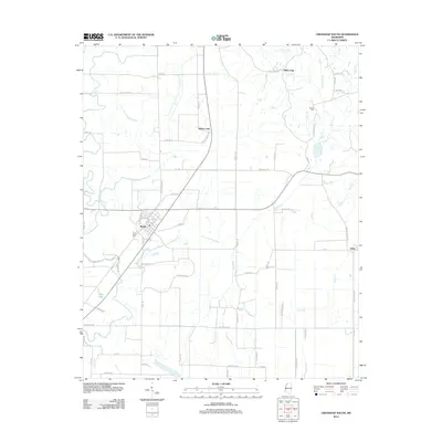
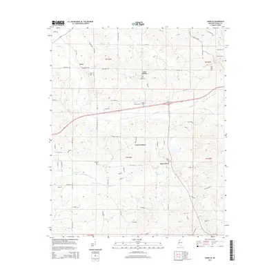
 - 2012 Map of Crowder, 2012 Print
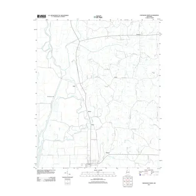
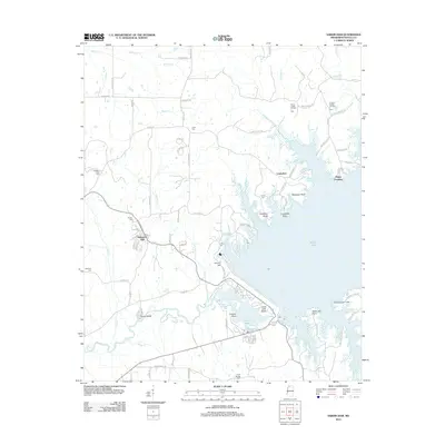
 2012 Crowder2012 Print · USGSCovers Panola County, including Mims, Allen, and other nearby areas
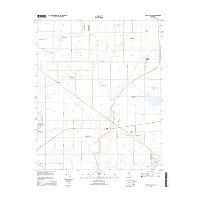
 - 2012 Map of Curtis Station, 2012 Print
 2012 Curtis Station2012 Print · USGSCovers Panola County, including Riverview, Bobo, and other nearby areas
 - 2012 Map of Crenshaw South, 2012 Print
 2012 Crenshaw South2012 Print · USGSCovers Panola County, including Sledge, Falcon, and other nearby areas
 - 2012 Map of Pleasant Grove, 2012 Print
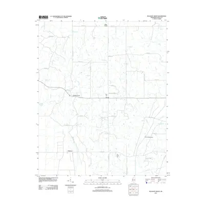 2012 Pleasant Grove2012 Print · USGSCovers Panola County, including Horatio, Kings Corner, and other nearby areas
 - 2015 Map of Curtis Station, 2015 Print
 2015 Curtis Station2015 Print · USGSCovers Panola County, including Riverview, Bobo, and other nearby areas
 - 2015 Map of Looxahoma, 2015 Print
 2015 Looxahoma2015 Print · USGSCovers Panola County, including Crossroad, Barr, and other nearby areas
 - 2015 Map of Shuford, 2015 Print
 2015 Shuford2015 Print · USGSCovers Panola County, including Water Valley Landing, Long Branch, and other nearby areas
 - 2015 Map of Sardis SE, 2015 Print
 2015 Sardis SE2015 Print · USGSCovers Panola County, including Terza, Mount Olivet, and other nearby areas
 - 2015 Map of Splinter, 2015 Print
 2015 Splinter2015 Print · USGSCovers Panola County, including Wallace, Burgess, and other nearby areas
Showing maps 1-25 of 100
Top cities of Panola County
- Batesville historical maps
- Sardis historical maps
- Como historical maps
- Courtland historical maps
- Pope historical maps
Frequently asked questions
- What are the different types of historical maps available for Panola County?
- What is the oldest map of Panola County?
- Where can I purchase historical maps of Panola County for my home or office?
- Where can I download high-res historical maps of Panola County?
- Are there historical topographic maps available for Panola County?
- Is there historical aerial imagery available for Panola County?
- Where are historical maps of Panola County sourced from?