2010s Maps of Tallahatchie County, Mississippi
Explore 60 historic maps of Tallahatchie County from the 2010s. These maps offer a rare glimpse into what life looked like during the 2010s — showing old roads, neighborhoods, homes, and landmarks that have changed or disappeared over time.
Whether you're researching your family's past, planning a metal detecting trip, or studying how Tallahatchie County's landscape evolved across the 2010s, these high-resolution maps are a powerful tool for exploring the history of this region.
- Focus on a specific era: All maps on this page are from the 2010s, giving you a focused view of this time period.
- See what’s changed: Compare century-old streets, trails, and buildings to today's modern landscape using overlays and satellite layers.
- Research with precision: Use these maps for genealogy, historical research, land use analysis, or educational projects.
- View, download, or print: Maps are fully viewable online in high resolution, and can be downloaded or printed for your own records.
Start exploring Tallahatchie County's history through authentic maps from the 2010s. This is your window into the past.
Tallahatchie County, MS maps
(60)- 2012 Map of Tocowa, 2012 Print
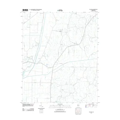 2012 Tocowa2012 Print · USGSPanola County, Mississippi, is mapped here in the early twenty-first century as a landscape of river confluences and rural homesteads. Genealogists and local historians can trace family locations near Whitten Cem, the Tocowa settlement, and the Yocona River.
 - 2012 Map of Tutwiler, 2012 Print
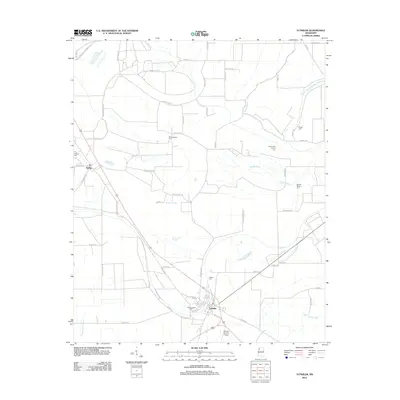 2012 Tutwiler2012 Print · USGSTallahatchie County in the early twenty-first century reveals a deeply rooted Delta landscape of small towns and ancestral burial grounds. Genealogists and local historians can trace family locations through numerous sites like Rosemound Cem, Hebrew Cem, and the waterways of Homecypress Bayou.
 - 2012 Map of Oakland, 2012 Print
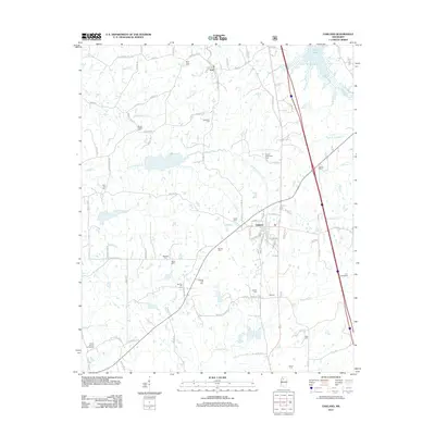 2012 Oakland2012 Print · USGSOakland and the surrounding Yalobusha County countryside are shown here in the early twenty-first century, just south of the waters of Enid Lake. Researchers can trace local family history through numerous burial sites like the Carr Cemeteries, Womble Cem, and Parrish Henderson Cem.
 - 2012 Map of Rome, 2012 Print
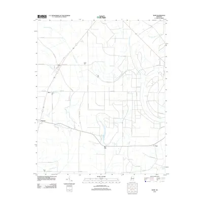 2012 Rome2012 Print · USGSThe Mississippi Delta landscape near Rome and Parchman is captured here in the early twenty-first century. Genealogists and local historians can locate several historic burial sites, including Pilgrim Rest Cem, while tracing the waterways of Blue Lake and Bear Bayou.
 - 2012 Map of Courtland, 2012 Print
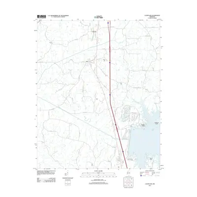 2012 Courtland2012 Print · USGSPanola County settlements and the northern shores of Enid Lake come into focus in this modern survey. Genealogists can trace family sites near Antioch Cem and Spring Hill Cem or explore the rural layout of Courtland and Pope.
 - 2012 Map of Tippo, 2012 Print
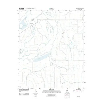 2012 Tippo2012 Print · USGSTallahatchie County in the early twenty-first century remains a landscape shaped by its winding rivers and bayous. Researchers can trace rural lineages through sites like New Salem Cem, Needmore Cem, and settlements such as Tippo and Effie.
 - 2012 Map of Schlater, 2012 Print
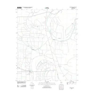 2012 Schlater2012 Print · USGSLeflore County farmland and Delta settlements are captured here in the early twenty-first century. Researchers can trace family history through local landmarks like McNutt Cem, Sunnyside, and the river landing at Eutaw Bend.
 - 2012 Map of Brooks, 2012 Print
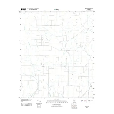 2012 Brooks2012 Print · USGSThe rural Sunflower County landscape comes into focus in this early twenty-first-century survey of the Delta. Genealogists and researchers can trace local family landmarks and burial sites at Mount Olive Cem, Scott Cem, and along the banks of Quiver River.
 - 2012 Map of Charleston, 2012 Print
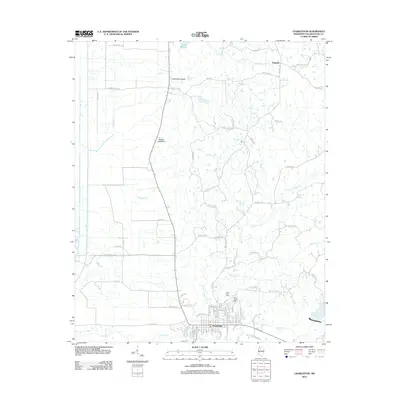 2012 Charleston2012 Print · USGSCharleston and the rural communities of Tallahatchie County are captured here in the early twenty-first century. Researchers can trace family history through sites like Saint Johns Cem and old settlements such as Teasdale and Tallahatchie Bluff.
 - 2012 Map of Crowder, 2012 Print
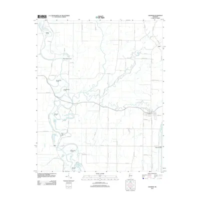 2012 Crowder2012 Print · USGSThe Mississippi Delta's intricate water network comes into focus in the early 2010s. Trace local history through the settlement of Crowder and hydraulic landmarks like the Panola Quitman Floodway or the Morning Star Cut-Off along the riverbanks.
 - 2012 Map of Vance, 2012 Print
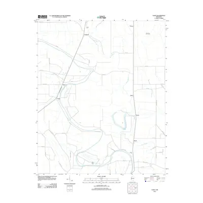 2012 Vance2012 Print · USGSThis Mississippi Delta landscape shows the agricultural and civic layout of Tallahatchie County in the early 2000s. Researchers can locate family landmarks like Silent Shade Cem and old community hubs including Stover, Vance, and Longstreet.
 - 2012 Map of Fishhook Lake, 2012 Print
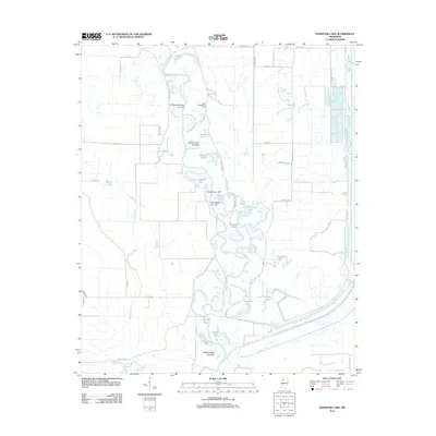 2012 Fishhook Lake2012 Print · USGSTallahatchie County is defined by its winding river systems and numerous oxbow lakes in the early twenty-first century. Researchers can trace land patterns near New Macedonia Cem and the complex waterways of Fishhook Lake and Muddy Bayou.
 - 2012 Map of Money, 2012 Print
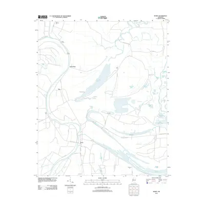 2012 Money2012 Print · USGSThe Mississippi Delta landscape near the confluence of the Tallahatchie and Yalobusha Rivers is shown here in the early 2010s. Researchers can locate several rural burial grounds like Eastmoney Cemetery and trace river landings such as Beulah Landing and Powell Landing.
 - 2012 Map of Webb, 2012 Print
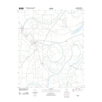 2012 Webb2012 Print · USGSThe Mississippi Delta landscape comes alive in this 2012 study of the river-fed plains surrounding Webb and Sumner. Genealogists and historians can trace family roots through sites like Jenkins Cem or locate old water-access points at Sharkeys Landing and Cassidy Bayou Landing.
 - 2012 Map of Cascilla, 2012 Print
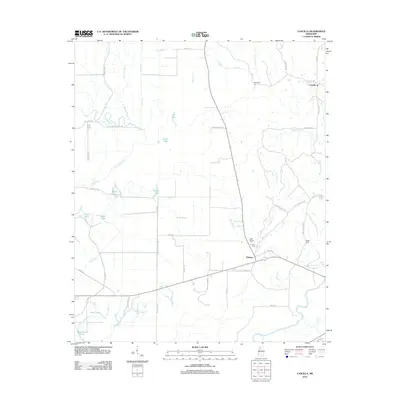 2012 Cascilla2012 Print · USGSTallahatchie County's eastern delta margin is captured here in the early twenty-first century, showing a landscape defined by its bayous and bottomlands. Genealogists can trace local history through sites like Cascilla, Bethel Cem, and Oxberry Cem near the Yalobusha River.
 - 2012 Map of Philipp, 2012 Print
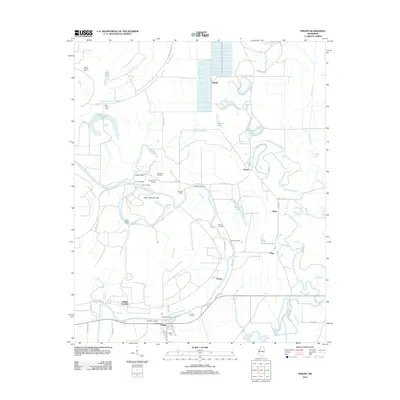 2012 Philipp2012 Print · USGSThe Tallahatchie River floodplain comes into sharp focus during the early twenty-first century, showing a landscape defined by water and delta history. Researchers can trace local heritage through numerous river landings like Blythes Landing and family landmarks such as Bethel Cem or Jones Chapel Cem.
 - 2012 Map of Paynes, 2012 Print
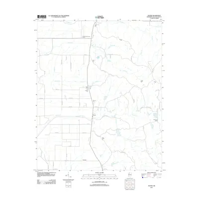 2012 Paynes2012 Print · USGSTallahatchie County in the early twenty-first century remains a landscape of quiet rural crossroads and family cemeteries. Genealogists can trace local heritage through sites like Magnolia Cem, the settlement of Paynes, and the Gentry Ford Bridge.
 - 2012 Map of Holcomb, 2012 Print
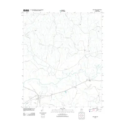 2012 Holcomb2012 Print · USGSGrenada County at the start of the 2010s reveals a deeply rooted rural landscape centered on the Yalobusha River. Researchers can trace generations of family history through numerous landmarks like Ashland Cem, Tascohoma Cem, and the old settlement at Dubard.
 - 2012 Map of Tillatoba, 2012 Print
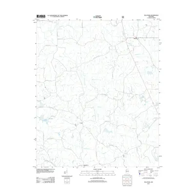 2012 Tillatoba2012 Print · USGSTallahatchie County in the early twenty-first century remains a landscape of small rural hubs and winding creek bottoms. Family historians can trace ancestral sites at Union Cem and Saint Pauls Cem, or locate the old homesteads near Tillatoba and Rosebloom.
 - 2012 Map of Glendora, 2012 Print
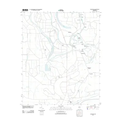 2012 Glendora2012 Print · USGSThe Mississippi Delta's riverine landscape is captured here during the early twenty-first century, centered on the historic town of Glendora. Genealogists and historians can locate numerous rural burial grounds and old river landings like Saint Clare Cem and Graball Landing.
 - 2015 Map of Holcomb, 2015 Print
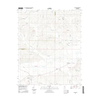 2015 Holcomb2015 Print · USGSThe hills and river bottoms of northern Mississippi come into focus in 2015, showing the settled landscape of Grenada and Tallahatchie counties. Genealogists can trace local roots at Tascohomo Cem, Ashland Cem, and Cole Cem near the Yalobusha River.
 - 2015 Map of Fishhook Lake, 2015 Print
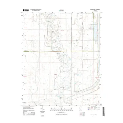 2015 Fishhook Lake2015 Print · USGSThe Mississippi Delta floodplain is captured here in the mid-2010s, revealing a landscape shaped by the Tallahatchie River and its many oxbows. Genealogists and researchers can trace local landmarks like New Macedonia Cem or the intricate waterways of Fishhook Lake and Stringer Lake.
 - 2015 Map of Vance, 2015 Print
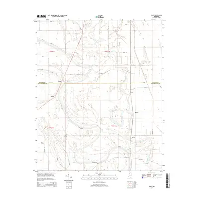 2015 Vance2015 Print · USGSThe rural Mississippi Delta comes into focus during the mid-2010s, showing a landscape defined by the winding Buzzard Bayou. Researchers can find several community landmarks, including Silent Shade Cem, and the small settlements of Brazil and Vance.
 - 2015 Map of Tutwiler, 2015 Print
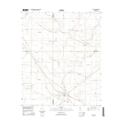 2015 Tutwiler2015 Print · USGSThe Mississippi Delta's intersection of Coahoma, Quitman, and Tallahatchie counties comes into focus in this mid-2010s survey. Genealogists and local historians can locate numerous rural burial sites like Hebrew Cem and Galena Cem alongside waterways like Upper Quiver River.
 - 2015 Map of Rome, 2015 Print
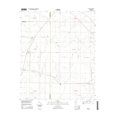 2015 Rome2015 Print · USGSThe fertile Delta country at the intersection of three counties is captured here in the early twenty-first century. Genealogists and local historians can trace family roots at Pleasant Green Cem or follow the waters of Homecypress Bayou past Minot and Rome.
Showing maps 1-25 of 60
Top cities of Tallahatchie County
- Charleston historical maps
- Tutwiler historical maps
- Webb historical maps
- Sumner historical maps
- Glendora historical maps
Frequently asked questions
- What are the different types of historical maps available for Tallahatchie County?
- What is the oldest map of Tallahatchie County?
- Where can I purchase historical maps of Tallahatchie County for my home or office?
- Where can I download high-res historical maps of Tallahatchie County?
- Are there historical topographic maps available for Tallahatchie County?
- Is there historical aerial imagery available for Tallahatchie County?
- Where are historical maps of Tallahatchie County sourced from?