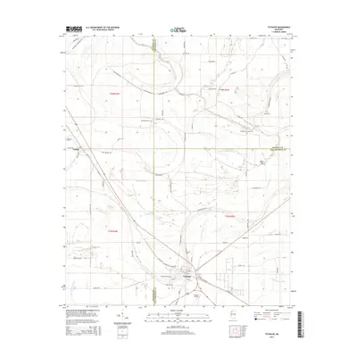
2015 Map of Tutwiler
USGS Topo · Published 2015About this map
Tutwiler and Dublin anchor this Delta landscape, where the flat alluvial plain is defined by a dense network of slow-moving waterways and agricultural drainage. Several burial grounds, including Hebrew Cem, Philadelphia Cem, and Rosemound Cem, provide critical points of interest for genealogists tracing local families across Coahoma, Quitman, and Tallahatchie counties. The topography is shaped by the Upper Quiver River and a system of bayous and sloughs, such as Muddy Bayou and Carson Slough, which weave through the section lines. This 2015 survey reveals how established transport routes like Old MS-49 and numerous family-named roads, including Leshe Cheairs Rd and Yandell Rd, follow the natural rises of the land near these ancient watercourses.
Find a feature on this map
69 named features on this map. Tap any name to fly to it.
Don’t see what you’re looking for? This feature index may not catch every label — zoom into the map to look around manually.
Map Details
Editions of this 2015 Tutwiler Map
This is the sole edition of this map. No revisions or reprints were ever made.
Other maps of this area

1931 · Sumner
USGS Topo · 1:48,000

1931 · Drew
USGS Topo · 1:48,000

1932 · Tutwiler
USGS Topo · 1:48,000

1935 · Clarksdale
USGS Topo · 1:62,500

1935 · Sumner
USGS Topo · 1:62,500

1935 · Tutwiler
USGS Topo · 1:62,500

1935 · Mound Bayou
USGS Topo · 1:62,500

1939 · Sumner
USGS Topo · 1:62,500

1939 · Tutwiler
USGS Topo · 1:62,500

1939 · Clarksdale
USGS Topo · 1:62,500