2020s Maps of Camden County, Missouri
Explore 23 historic maps of Camden County from the 2020s. These maps offer a rare glimpse into what life looked like during the 2020s — showing old roads, neighborhoods, homes, and landmarks that have changed or disappeared over time.
Whether you're researching your family's past, planning a metal detecting trip, or studying how Camden County's landscape evolved across the 2020s, these high-resolution maps are a powerful tool for exploring the history of this region.
- Focus on a specific era: All maps on this page are from the 2020s, giving you a focused view of this time period.
- See what’s changed: Compare century-old streets, trails, and buildings to today's modern landscape using overlays and satellite layers.
- Research with precision: Use these maps for genealogy, historical research, land use analysis, or educational projects.
- View, download, or print: Maps are fully viewable online in high resolution, and can be downloaded or printed for your own records.
Start exploring Camden County's history through authentic maps from the 2020s. This is your window into the past.
Camden County, MO maps
(23)- 2021 Map of Macks Creek, 2021 Print
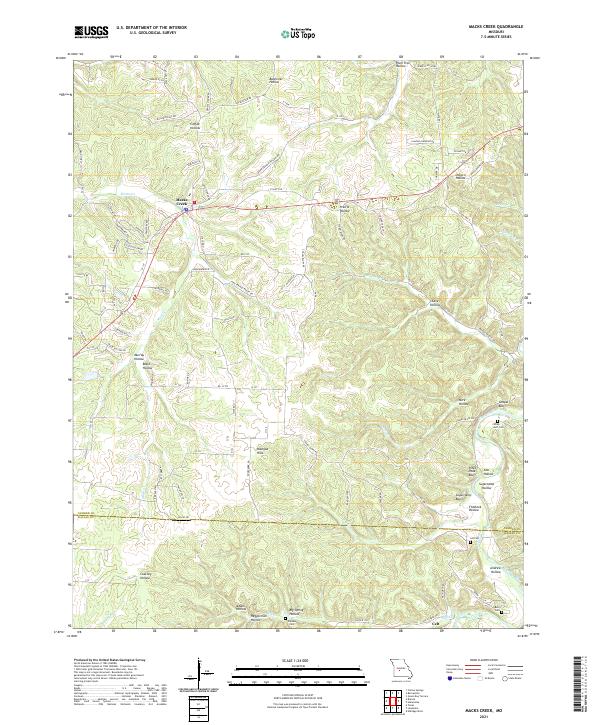 2021 Macks Creek2021 Print · USGSCamden and Dallas counties are shown in this modern survey of the Missouri Ozarks, where high bluffs overlook the Niangua River. Researchers can locate family landmarks like Wiley Gott Cem and Berry Cem, or trace the rural roads connecting Macks Creek and Celt.
 - 2021 Map of Hahatonka, 2021 Print
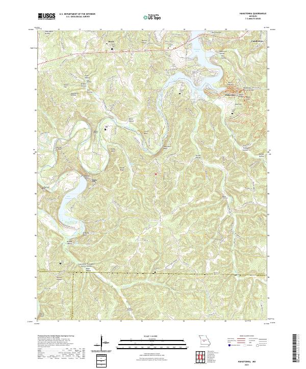 2021 Hahatonka2021 Print · USGSCamden County and the surrounding Ozark highlands are documented here during a period of modern mapping that highlights the region's intricate karst landscape. Researchers can locate several remote burial grounds like Lodge Cem and Baker Cem, or trace the rugged geography of Hahatonka Natural Bridge and White City.
 - 2021 Map of Stoutland, 2021 Print
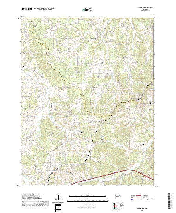 2021 Stoutland2021 Print · USGSStoutland and the surrounding Ozark borderlands are captured here in the early twenty-first century as they span the Laclede and Camden county line. Researchers can locate numerous family burial sites like Hillhouse Cem and Barnett Cem near the settlements of Sleeper and Delmar.
 - 2021 Map of Montreal, 2021 Print
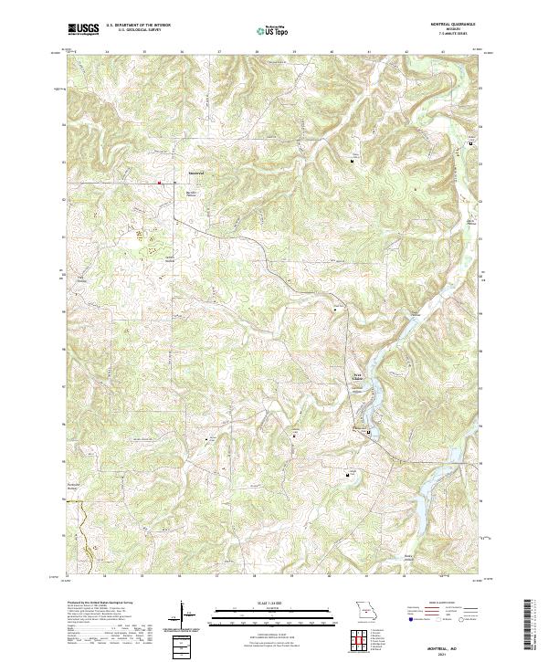 2021 Montreal2021 Print · USGSMontreal and the surrounding Missouri hollows are captured here during the early twenty-first century. Genealogists can trace family landmarks and rural homesteads through sites like Dodson Cem, Traw Hollow, and the Wet Glaize settlement.
 - 2021 Map of Decaturville, 2021 Print
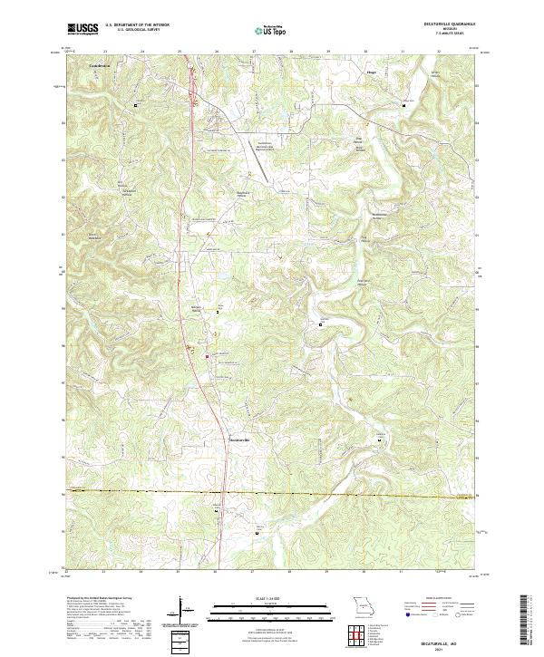 2021 Decaturville2021 Print · USGSCamden and Laclede counties appear here in the early 2020s, showing a landscape of deep hollows and rural crossroads. Researchers can locate numerous historic burial sites like Stone Cemetery and Claiborne Cemetery or trace the path of Dry Auglaize Creek.
 - 2021 Map of Conns Creek, 2021 Print
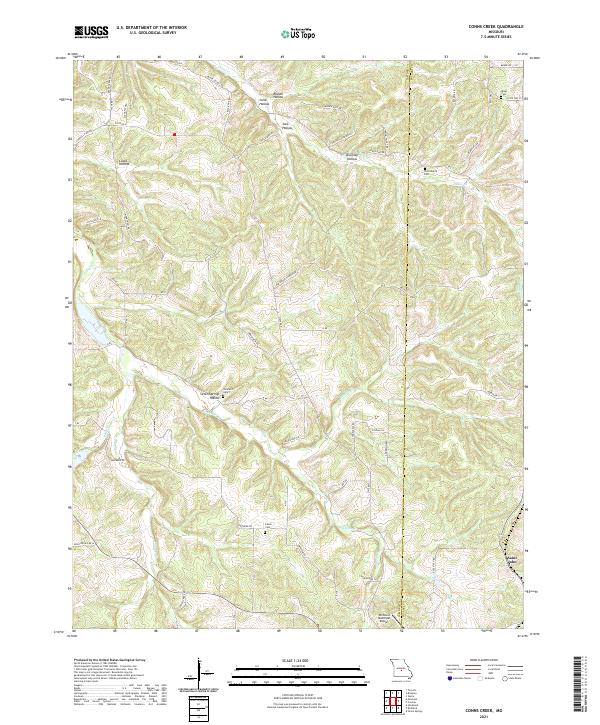 2021 Conns Creek2021 Print · USGSThe Missouri Ozarks are mapped here during the early twenty-first century, showcasing a landscape of winding creeks and deep hollows. Researchers can locate family burial sites like Thornsberry Cemetery and Miles Cemetery or trace the drainage of Conns Creek.
 - 2021 Map of Richland, 2021 Print
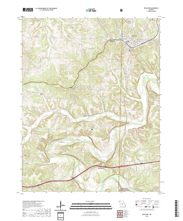 2021 Richland2021 Print · USGSRichland and the northern Ozark foothills are captured here in the early twenty-first century as the landscape transitions into the national forest. Researchers can trace the BNSF Railway corridor, the winding Gasconade River, and local landmarks like Oaklawn Cem.
 - 2021 Map of Branch, 2021 Print
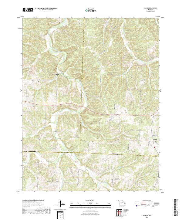 2021 Branch2021 Print · USGSHickory, Camden, and Dallas counties meet along the winding river valleys of southern Missouri in this recent survey. Local historians can trace family roots through the Little Niangua Cem and Stanton Chapel Cem or locate the small communities of Almon and Branch.
 - 2021 Map of Knobby, 2021 Print
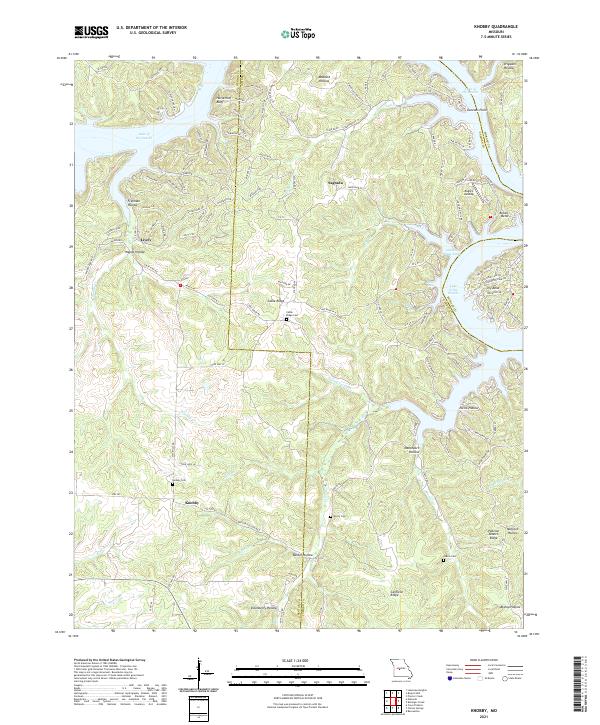 2021 Knobby2021 Print · USGSCamden and Benton Counties are documented here as the winding shoreline of the Lake of the Ozarks meets the rural Ozark hills. Genealogists can locate several local burial sites including Cable Ridge Cem and Dority Cem near the historic settlement of Knobby.
 - 2021 Map of Boylers Mill, 2021 Print
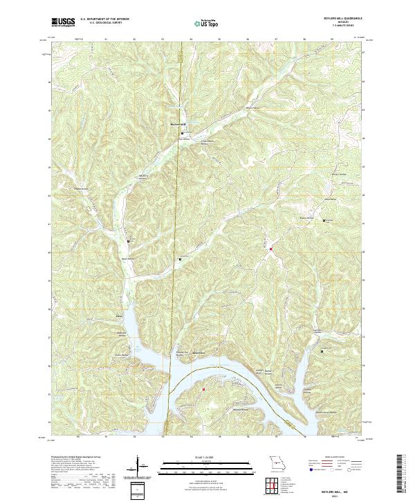 2021 Boylers Mill2021 Print · USGSThe northern reaches of the Lake of the Ozarks come into focus in this contemporary study of the Morgan and Benton County line. Local historians can trace family-named sites like Boylers Mill, Attners Bluffs, and Franklin Cem across a landscape of deep hollows.
 - 2021 Map of Climax Springs, 2021 Print
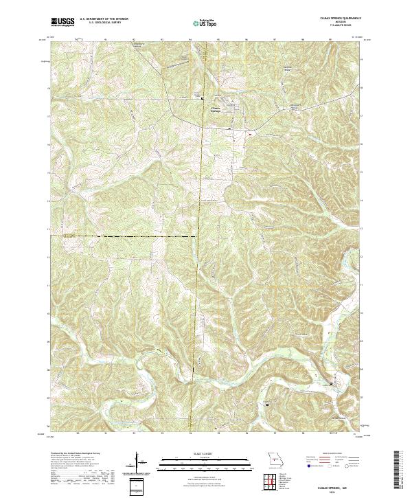 2021 Climax Springs2021 Print · USGSThe Tri-County area where Benton, Camden, and Hickory meet comes alive in this 2020s study of the Ozark plateau. Genealogists and local historians can trace the hills around Climax Springs and locate rural burial grounds like Creach Cem and Green Cem near the Little Niangua River.
 - 2021 Map of Bollinger Creek, 2021 Print
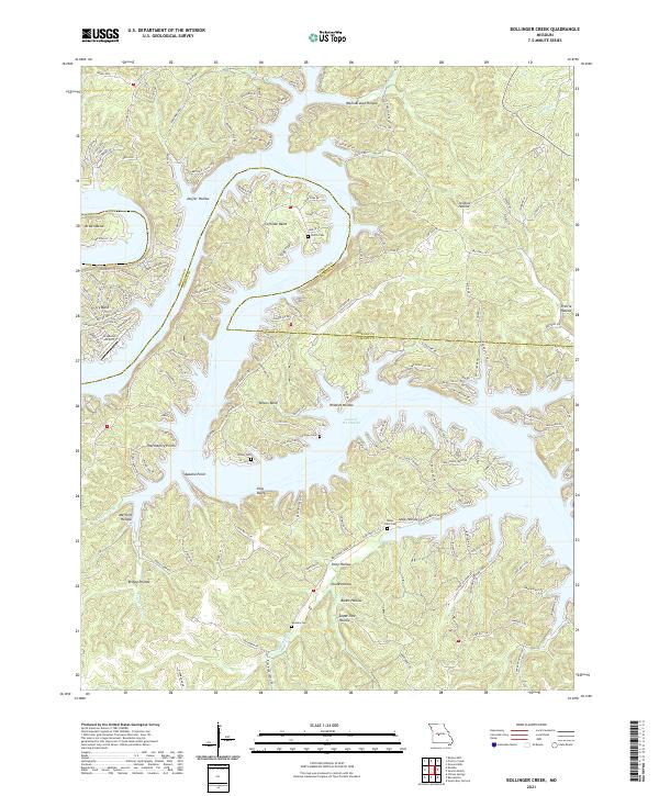 2021 Bollinger Creek2021 Print · USGSThe fragmented shoreline of the Lake of the Ozarks defines this Missouri landscape as it appeared in the early 2020s. Researchers can trace family history at Parish Cem or Carver Cem and locate landmarks like King Bluff and Ivy Bend Airport.
 - 2021 Map of Brumley, 2021 Print
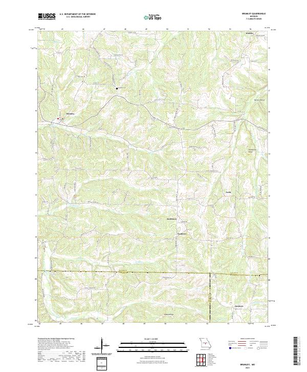 2021 Brumley2021 Print · USGSThe northern Ozarks of Miller County come into focus in this recent survey, capturing a landscape of tight-knit rural communities. You can trace the roads connecting Brumley to smaller settlements like Keethtown, Faith, and Hawkeye near the Barren Fork valley.
 - 2021 Map of Bagnell, 2021 Print
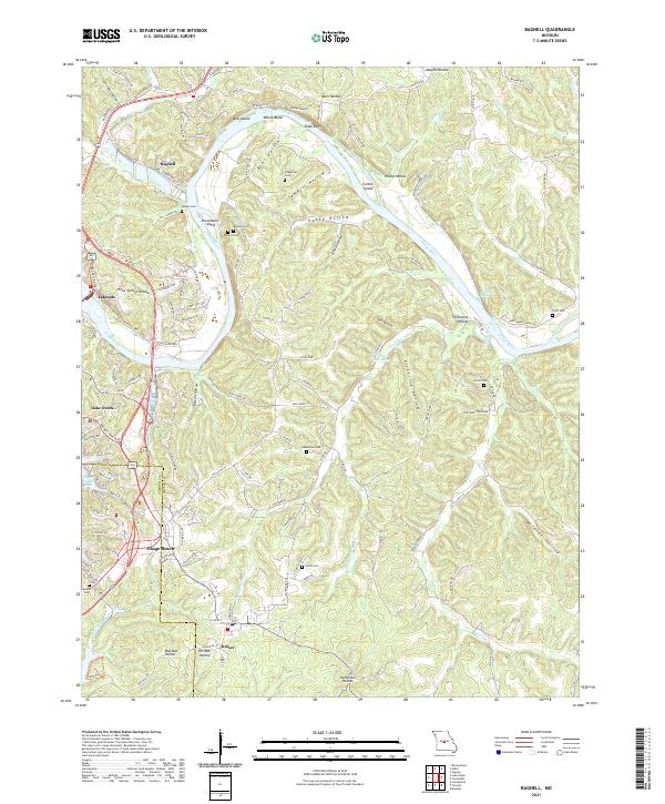 2021 Bagnell2021 Print · USGSThe Osage River valley at the height of its role as a premier Midwestern recreation and power hub. Trace family histories at Sander Cem or Henderson Cem, and explore the shoreline from Bagnell to Osage Beach.
 - 2021 Map of Barnumton, 2021 Print
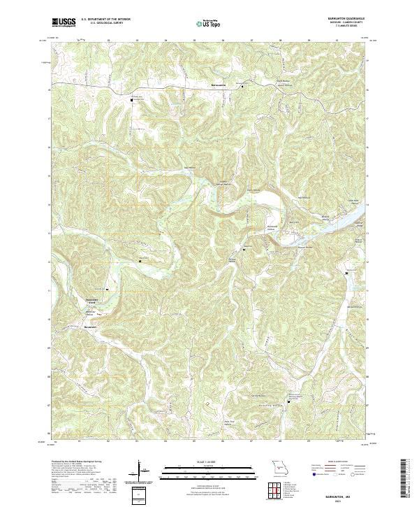 2021 Barnumton2021 Print · USGSCamden County's river-carved landscape is shown here in the 2020s, centered on the winding Little Niangua River. Researchers can trace local lineage through several small burial sites including Hurst Cem, Barnumton Cem, and the historic Bannister Ford.
 - 2021 Map of Toronto, 2021 Print
 2021 Toronto2021 Print · USGSCamden and Miller counties come alive in this recent survey of the Missouri Ozarks, where the Grandglaize Arm meets the interior hills. Researchers can locate the old settlement of Passover, trace local lineages at Kuykendall Cem, and find the landmark Swinging Bridge.
 - 2021 Map of Lake Ozark, 2021 Print
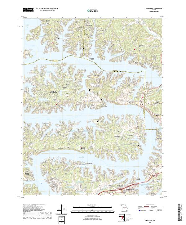 2021 Lake Ozark2021 Print · USGSThe Missouri lakefront comes to life in this recent survey of the intricate shoreline at Lake of the Ozarks. Trace the modern development of Village of Four Seasons and Osage Beach alongside older family landmarks like Anderson Cem and Carrot Bluff.
 - 2021 Map of Camdenton, 2021 Print
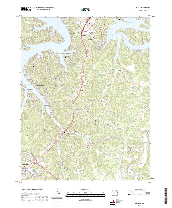 2021 Camdenton2021 Print · USGSCamden County and the Ozark Plateau are shown here as they appear in the early 2020s, dominated by the winding arms of the Lake of the Ozarks. Local historians can trace the relationship between the modern county seat at Camdenton and older sites like Old Linn Creek and Selby Hall Cem.
 - 2021 Map of Sunrise Beach, 2021 Print
 2021 Sunrise Beach2021 Print · USGSThe Lake of the Ozarks shoreline and its surrounding ridges are captured here in the early 2020s as the communities of the West Side continue to thrive. Genealogists and local historians can trace family sites at Garber Memorial Cem or Bond Cem while locating landmarks like Hurricane Deck and Folsom Bluff.
 - 2021 Map of Green Bay Terrace, 2021 Print
 2021 Green Bay Terrace2021 Print · USGSThe Missouri Ozarks and the winding Niangua Arm are captured here in detail during the early 2020s. Researchers can trace the development of Green Bay Terrace and find local history at Tick Ridge Cem or the Dale Blair Memorial Cem.
 - 2023 Map of Green Bay Terrace, 2023 Print
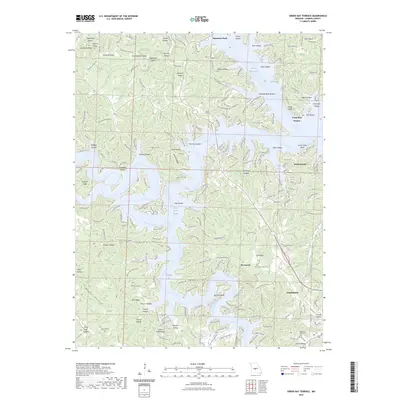 2023 Green Bay Terrace2023 Print · USGSThe Lake of the Ozarks shoreline and the growing community of Camdenton appear here in recent detail. Genealogists and local historians can trace family sites at Farmer Cem and New Home Cem or locate landmarks like Hurricane Deck.
 - 2023 Map of Toronto, 2023 Print
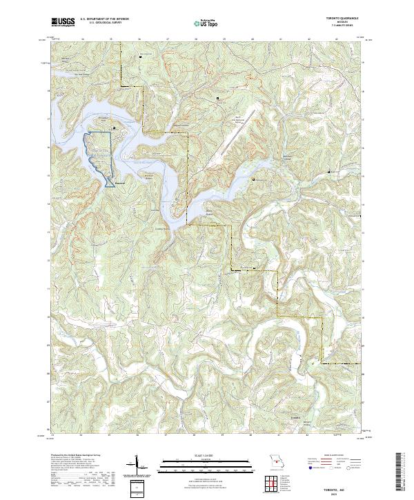 2023 Toronto2023 Print · USGSThe Lake of the Ozarks region in the early 2020s shows a landscape of deep hollows and winding recreation waters along the Camden Co and Miller Co line. Genealogists can trace family landmarks like the Jeffries Family Cem and Kuykendall Cem or the old settlement at Passover.
 - 2023 Map of Sunrise Beach, 2023 Print
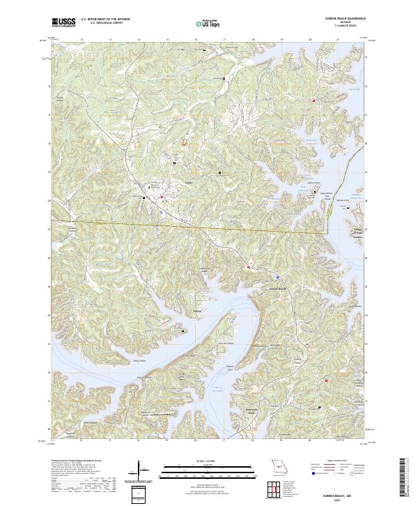 2023 Sunrise Beach2023 Print · USGSThe Lake of the Ozarks shoreline near the Morgan and Camden county line is captured here in its modern form. Genealogists and local historians can trace family-named sites like Saint Patricks Cem, Folsom Bluff, and the Ozark Chapel.
End of results
Showing maps 1-23 of 23
Top cities of Camden County
- Osage Beach historical maps
- Camdenton historical maps
- Four Seasons historical maps
- Sunrise Beach historical maps
- Linn Creek historical maps
- Macks Creek historical maps
See more
Frequently asked questions
- What are the different types of historical maps available for Camden County?
- What is the oldest map of Camden County?
- Where can I purchase historical maps of Camden County for my home or office?
- Where can I download high-res historical maps of Camden County?
- Are there historical topographic maps available for Camden County?
- Is there historical aerial imagery available for Camden County?
- Where are historical maps of Camden County sourced from?