2000s (21st Century) Maps of Camden County, Missouri
Explore 83 historic maps of Camden County from the 2000s (21st Century). These maps offer a rare glimpse into what life looked like during the 2000s — showing old roads, neighborhoods, homes, and landmarks that have changed or disappeared over time.
Whether you're researching your family's past, planning a metal detecting trip, or studying how Camden County's landscape evolved across the 2000s, these high-resolution maps are a powerful tool for exploring the history of this region.
- Focus on a specific era: All maps on this page are from the 2000s, giving you a focused view of this time period.
- See what’s changed: Compare century-old streets, trails, and buildings to today's modern landscape using overlays and satellite layers.
- Research with precision: Use these maps for genealogy, historical research, land use analysis, or educational projects.
- View, download, or print: Maps are fully viewable online in high resolution, and can be downloaded or printed for your own records.
Start exploring Camden County's history through authentic maps from the 2000s. This is your window into the past.
Camden County, MO maps
(83)- 2011 Map of Branch, 2011 Print
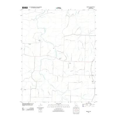 2011 Branch2011 Print · USGSHickory County's rural landscape is documented here in the early twenty-first century, centered on the Little Niangua River and local crossroads. Researchers can trace family history at the Stanton Cemetery or locate old industrial sites like Parks Mill and Branch.
 - 2011 Map of Climax Springs, 2011 Print
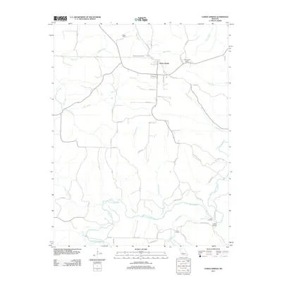 2011 Climax Springs2011 Print · USGSClimax Springs and the winding Little Niangua River are shown in detail during the early 21st century. Researchers can locate family landmarks such as Creach Cemetery, the Climax Springs Lookout Tower, and the small settlement at Coffee Hollow.
 - 2011 Map of Knobby, 2011 Print
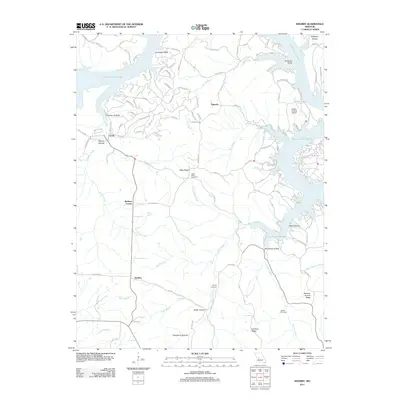 2011 Knobby2011 Print · USGSBenton County's winding lakefront and wooded ridges are captured here in the early twenty-first century. Genealogists and local researchers can trace family landmarks and rural hubs such as Cable Ridge Cemetery, Walkers Corner, and Lively.
 - 2011 Map of Boylers Mill, 2011 Print
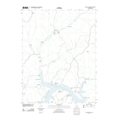 2011 Boylers Mill2011 Print · USGSThe northern Ozarks and the winding shores of the lake are shown here in the early twenty-first century. Genealogists and researchers can trace local family history through numerous landmarks like Frisch Cemetery, Boylers Mill, and the Mount Hulda Lookout Tower.
 - 2011 Map of Green Bay Terrace, 2011 Print
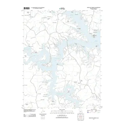 2011 Green Bay Terrace2011 Print · USGSCamdenton and the Lake of the Ozarks shoreline are captured here during the peak of modern waterfront development. Genealogists and researchers can locate family sites at Farmer Cemetery and Tick Ridge Cemetery or trace the winding roads of Green Bay Terrace.
 - 2011 Map of Bollinger Creek, 2011 Print
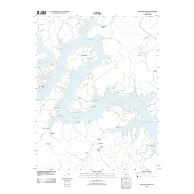 2011 Bollinger Creek2011 Print · USGSThe Camden County shoreline of the Lake of the Ozarks is captured here in the early twenty-first century. Genealogists can locate family burial sites at Parish Cemetery and Wilson Cemetery or trace the development of Ivy Bend.
 - 2011 Map of Conns Creek, 2011 Print
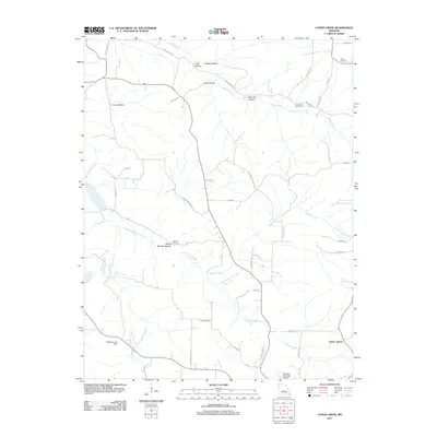 2011 Conns Creek2011 Print · USGSPulaski County at the start of the 2010s reveals a rural landscape of winding creek valleys and family burial grounds. Genealogists can locate several historic sites including Miles Cemetery, Chalfant Cemetery, and the settlement of Saint John.
 - 2011 Map of Decaturville, 2011 Print
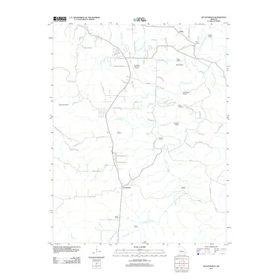 2011 Decaturville2011 Print · USGSCamden County's rolling hollows and family homesteads are meticulously documented in the early twenty-first century. Genealogists can locate several historic burial grounds, including Stone Cemetery and Darrow Cemetery, while tracing the landscape around Decaturville.
 - 2011 Map of Bagnell, 2011 Print
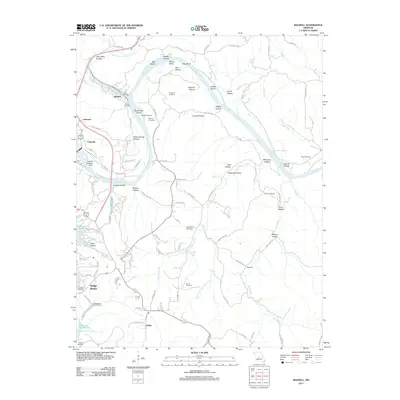 2011 Bagnell2011 Print · USGSOsage Beach and the surrounding river bluffs are shown in detail during the early twenty-first century, just as the region reached its modern peak. Genealogists can locate family burial grounds like Fitzgerald Cemetery or trace the development of Bagnell and the Bagnell Seaplane Base.
 - 2011 Map of Camdenton, 2011 Print
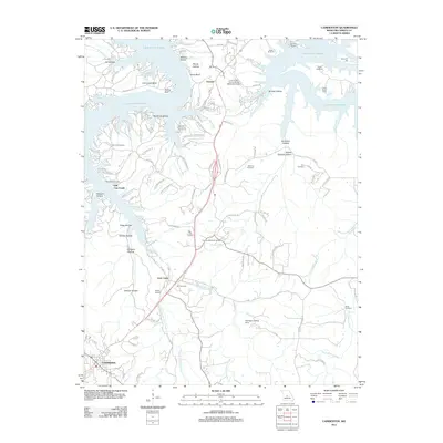 2011 Camdenton2011 Print · USGSCamden County, Missouri, in the early 2010s shows a landscape defined by the intricate shoreline of the Lake of the Ozarks and the development of Camdenton. Researchers can trace family history through numerous burial sites like Zion Cemetery and Hopkins Cemetery, or locate old recreational landmarks like Camp Clover Point.
 - 2011 Map of Hahatonka, 2011 Print
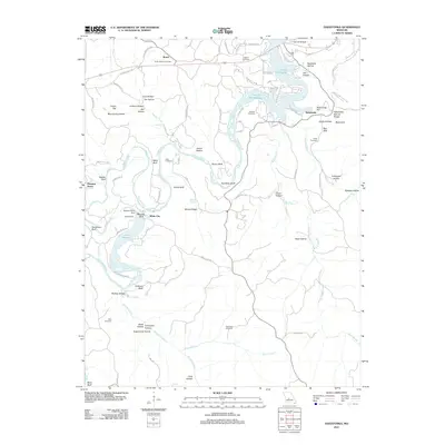 2011 Hahatonka2011 Print · USGSThe Missouri Ozarks are showcased here as the river-and-lake system evolved after the mid-century. Genealogists can trace family names across Union Electric and Lodge Cemetery, while exploring landmarks like the Hahatonka Natural Bridge and Tunnel Dam.
 - 2011 Map of Toronto, 2011 Print
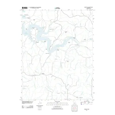 2011 Toronto2011 Print · USGSCamden County and the Ozarks shoreline appear in this early 21st-century survey. Genealogists and hikers can trace old routes across Swinging Bridge or locate family plots at Popplewell Cemetery and Wright Cemetery.
 - 2011 Map of Lake Ozark, 2011 Print
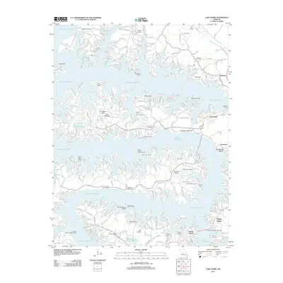 2011 Lake Ozark2011 Print · USGSThe Missouri Ozarks are showcased here during a period of significant resort growth and lakeside development. Researchers can trace historic family burial grounds like Riley Lamb Cemetery or locate specialized landmarks like the Tan Tar A Resort Seaplane Base and Bagnell Dam.
 - 2011 Map of Barnumton, 2011 Print
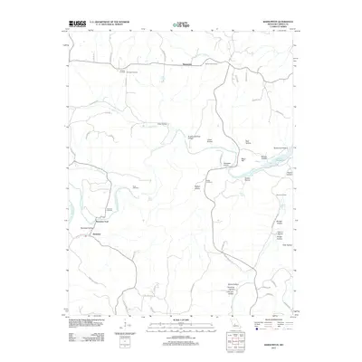 2011 Barnumton2011 Print · USGSCamden County life centers on the winding Little Niangua River and the expanding reaches of Lake of the Ozarks in this modern survey. Researchers can trace family roots through numerous burial sites like Hurst Cemetery, Warren Cemetery, and the historic crossing at Bannister Ford.
 - 2011 Map of Macks Creek, 2011 Print
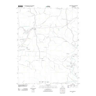 2011 Macks Creek2011 Print · USGSThe rural landscape of Camden County in the early 2010s is revealed here, where the settlement of Macks Creek meets the rugged breaks of the Niangua River. Researchers can trace local history at Wiley Gott Cemetery and the uniquely named hamlet of Only.
 - 2011 Map of Stoutland, 2011 Print
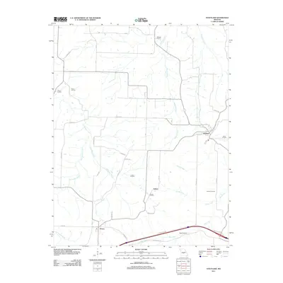 2011 Stoutland2011 Print · USGSStoutland and the Laclede County uplands are documented here in the early twenty-first century, showing a landscape shaped by creek valleys and rural homesteads. Genealogists can locate family landmarks like Hillhouse Cemetery, Barnett Cemetery, and the settlement of Delmar.
 - 2011 Map of Brumley, 2011 Print
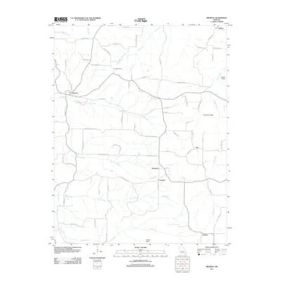 2011 Brumley2011 Print · USGSBrumley and its neighboring hamlets are captured at the start of the 2010s, showing a landscape of deep hollows and high ridges. Genealogists can trace family connections through the Hawkins Cemetery and local settlements like Keethtown, Samtown, and Faith.
 - 2011 Map of Montreal, 2011 Print
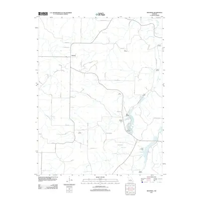 2011 Montreal2011 Print · USGSMontreal and the surrounding Missouri countryside are mapped here in the early twenty-first century, showcasing a rural landscape of winding creeks and family cemeteries. Genealogists can locate ancestors at Sharp Cemetery or Brown Cemetery and trace the drainage of Wet Glaize Creek.
 - 2011 Map of Sunrise Beach, 2011 Print
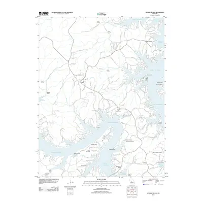 2011 Sunrise Beach2011 Print · USGSCamden County's shoreline and the communities of Sunrise Beach and Laurie are shown in high detail during the early 2010s. Researchers can trace family sites like Bond Cemetery or landmark infrastructure such as the Hurricane Deck Lookout Tower.
 - 2012 Map of Richland, 2012 Print
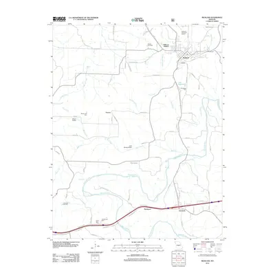 2012 Richland2012 Print · USGSRichland and the meandering Gasconade River valley are shown here in the early twenty-first century as the area continued to develop around its historical roots. Researchers can locate family sites at Oaklawn Cemetery or trace the rural landscape near Garnsey and Cave Spring Hollow.
 - 2014 Map of Boylers Mill, 2014 Print
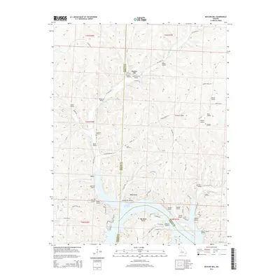 2014 Boylers Mill2014 Print · USGSThe northern reaches of the Lake of the Ozarks are captured here in the early twenty-first century, showing the evolving shoreline near the Benton and Morgan county lines. Genealogists can trace family landmarks and burial sites like Shiloh Cemetery, Boylers Mill, and Franklin Cemetery.
 - 2014 Map of Climax Springs, 2014 Print
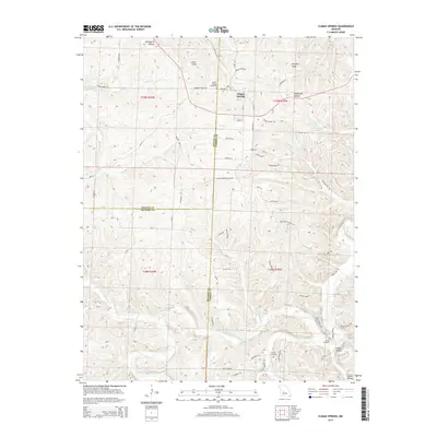 2014 Climax Springs2014 Print · USGSThe borderlands of Camden and Hickory counties are captured here in the early twenty-first century, centered on the community of Climax Springs. Family historians can locate several local burial grounds including Creach Cemetery and Green Cemetery near the winding Little Niangua River.
 - 2015 Map of Brumley, 2015 Print
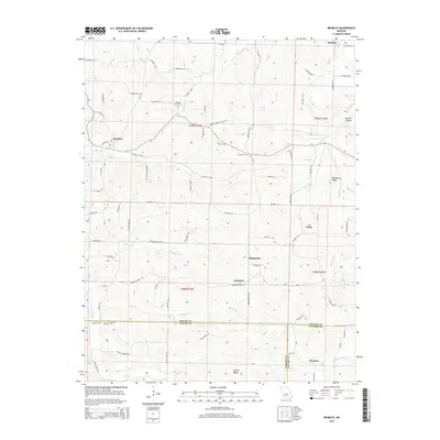 2015 Brumley2015 Print · USGSMiller and Camden counties are documented here in the early twenty-first century, showing the rural communities of the Ozark plateau. Trace family roots and local geography through Hawkins Cemetery and the crossroads at Brumley, Keethtown, and Samtown.
 - 2015 Map of Barnumton, 2015 Print
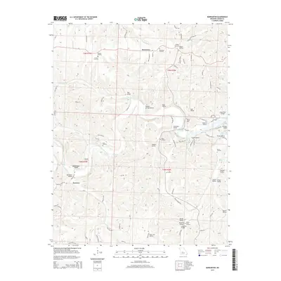 2015 Barnumton2015 Print · USGSCamden County's river-cut landscape is captured here in the mid-2010s, centered on the Little Niangua River and the rural community of Barnumton. Genealogists can trace numerous family burial grounds, such as Parrack Grove Cemetery, and locate the historic crossing at Bannister Ford.
 - 2015 Map of Camdenton, 2015 Print
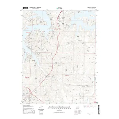 2015 Camdenton2015 Print · USGSCamden County's shoreline and inland hubs are detailed here during a period of modern development around the Lake of the Ozarks. Trace the landscape from the historic site of Old Linn Creek to the growing community of Camdenton, locating local landmarks like Hall Cemetery and the Grand Glaize-Osage Beach Airport.
Showing maps 1-25 of 83
Top cities of Camden County
- Osage Beach historical maps
- Camdenton historical maps
- Four Seasons historical maps
- Sunrise Beach historical maps
- Linn Creek historical maps
- Macks Creek historical maps
See more
Frequently asked questions
- What are the different types of historical maps available for Camden County?
- What is the oldest map of Camden County?
- Where can I purchase historical maps of Camden County for my home or office?
- Where can I download high-res historical maps of Camden County?
- Are there historical topographic maps available for Camden County?
- Is there historical aerial imagery available for Camden County?
- Where are historical maps of Camden County sourced from?