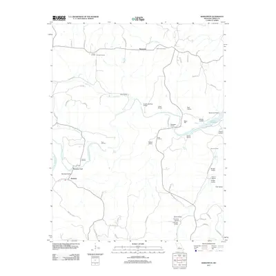
2011 Map of Barnumton
USGS Topo · Published 2011About this map
Barnumton and the small settlement of Bannister anchor this Missouri landscape, where the deeply carved topography of the Ozarks dictates the movement of people and water. The Little Niangua River winds through the western half of the map, marked by the historical crossing at Bannister Ford and numerous tributary hollows like Bannister Hollow and Toby Hollow. This 2011 survey captures the area as the waters of Lake of the Ozarks reach into the eastern valleys, creating a distinctive interface between riverine and lacustrine environments.
Find a feature on this map
71 named features on this map. Tap any name to fly to it.
Don’t see what you’re looking for? This feature index may not catch every label — zoom into the map to look around manually.
Map Details
Editions of this 2011 Barnumton Map
This is the sole edition of this map. No revisions or reprints were ever made.
Other maps of this area

1884 · Bolivar
USGS Topo · 1:125,000

1887 · Warsaw
USGS Topo · 1:125,000

1888 · Versailles
USGS Topo · 1:125,000

1892 · Bolivar
USGS Topo · 1:125,000

1893 · Versailles
USGS Topo · 1:125,000

1894 · Warsaw
USGS Topo · 1:125,000

1934 · Macks Creek
USGS Topo · 1:48,000

1934 · Purvis
USGS Topo · 1:24,000

1934 · Irontown Ferry
USGS Topo · 1:24,000

1934 · Green Bay Terrace
USGS Topo · 1:24,000