2010s Maps of Clinton County, Missouri
Explore 36 historic maps of Clinton County from the 2010s. These maps offer a rare glimpse into what life looked like during the 2010s — showing old roads, neighborhoods, homes, and landmarks that have changed or disappeared over time.
Whether you're researching your family's past, planning a metal detecting trip, or studying how Clinton County's landscape evolved across the 2010s, these high-resolution maps are a powerful tool for exploring the history of this region.
- Focus on a specific era: All maps on this page are from the 2010s, giving you a focused view of this time period.
- See what’s changed: Compare century-old streets, trails, and buildings to today's modern landscape using overlays and satellite layers.
- Research with precision: Use these maps for genealogy, historical research, land use analysis, or educational projects.
- View, download, or print: Maps are fully viewable online in high resolution, and can be downloaded or printed for your own records.
Start exploring Clinton County's history through authentic maps from the 2010s. This is your window into the past.
Clinton County, MO maps
(36)- 2012 Map of Smithville, 2012 Print
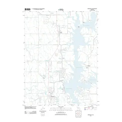 2012 Smithville2012 Print · USGSThe reservoir landscape north of Kansas City comes into focus during the early 2010s. Genealogists can locate family burial sites like Paradise Cemetery and Davenport Cemetery near the shores of Smithville Reservoir.
 - 2012 Map of Lathrop, 2012 Print
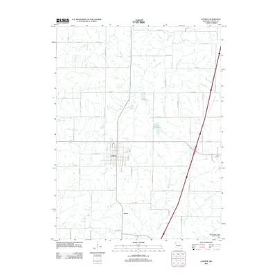 2012 Lathrop2012 Print · USGSLathrop and its surrounding Clinton County farmlands are captured here in the early twenty-first century as the town grid expands into the prairie. Genealogists and local historians can trace the town layouts of Lathrop and Guyton, find Bethel Cemetery, and follow the banks of Shoal Creek.
 - 2012 Map of Holt, 2012 Print
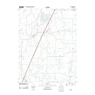 2012 Holt2012 Print · USGSClay County's rural landscape is captured here in the early twenty-first century, showing the enduring agricultural character of the Missouri drift hills. Researchers can locate numerous historic burial sites such as Antioch Cemetery and Wilson Cemetery or trace the grounds of Watkins Mill State Park.
 - 2012 Map of Plattsburg, 2012 Print
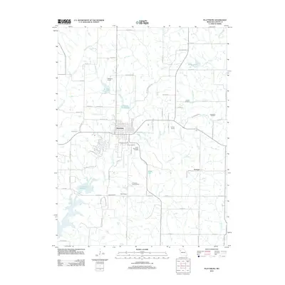 2012 Plattsburg2012 Print · USGSClinton County as it appeared in the early 2010s shows a landscape of river valleys and rural aviation hubs centered on Plattsburg. Researchers can trace local lineages through numerous burial sites like Greenlawn Cemetery and Hanks Cemetery or locate old landing strips such as O'Connor Landing Strip.
 - 2012 Map of Elmira, 2012 Print
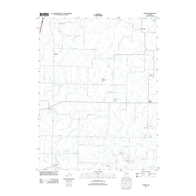 2012 Elmira2012 Print · USGSRural Ray and Caldwell counties are mapped here in the early 2010s, showing a landscape of traditional farmsteads and creek-fed valleys. Genealogists can locate several historic burial sites, including Sloan, Deer Creek Cemetery, and Cates Cemetery, while tracing the reaches of the South Prong Crooked River.
 - 2012 Map of Arley, 2012 Print
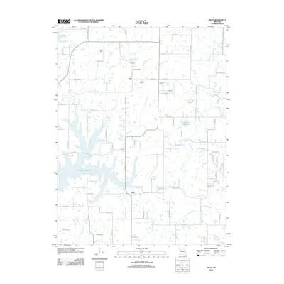 2012 Arley2012 Print · USGSClay County and the fringes of Clinton County are captured here in the early twenty-first century as suburban growth meets rural farmland. Researchers can trace historic family burial sites like Mount Zion Cemetery and Cook Cemetery near the sprawling Smithville Reservoir.
 - 2012 Map of Hemple, 2012 Print
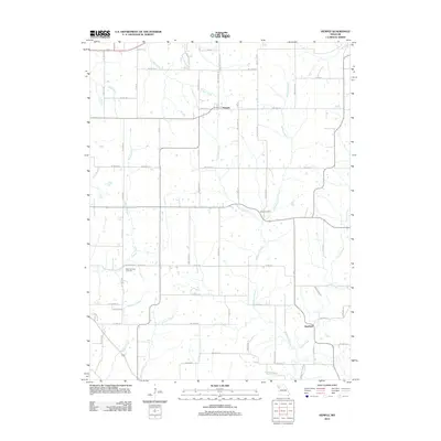 2012 Hemple2012 Print · USGSIn the early twenty-first century, this DeKalb County landscape remains defined by its rural settlements and intricate stream network. Genealogists can trace family footprints near Hemple and Starfield, or locate burial sites at New Harmony Cemetery and Keller Cemetery.
 - 2012 Map of Cameron West, 2012 Print
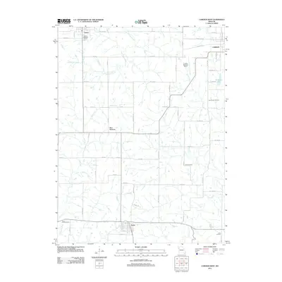 2012 Cameron West2012 Print · USGSThe rural plains of western Missouri come into focus here during the early twenty-first century. Genealogists and local historians can trace the grid of country roads to Osborn-Evergreen Cemetery, Turney, and Round Prairie Cemetery.
 - 2012 Map of Cameron East, 2012 Print
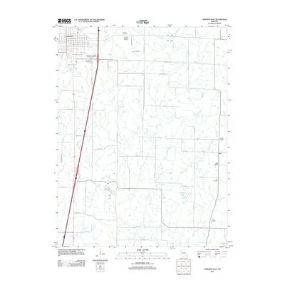 2012 Cameron East2012 Print · USGSMissouri's rural landscape east of Cameron is detailed here in the early twenty-first century. Genealogists can trace family burial sites like Evergreen Cemetery and Paxton Cemetery or locate the settlements of Kerr and Far West.
 - 2012 Map of Gower, 2012 Print
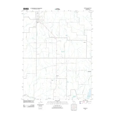 2012 Gower2012 Print · USGSGower and the surrounding Missouri countryside are captured here in the early twenty-first century, showing a landscape of small settlements and prairie creeks. Genealogists can locate several historic burial grounds including Antioch Cemetery and Mount Carmel Cemetery, alongside landmarks like Grayson and the Smithville Reservoir.
 - 2012 Map of Perrin, 2012 Print
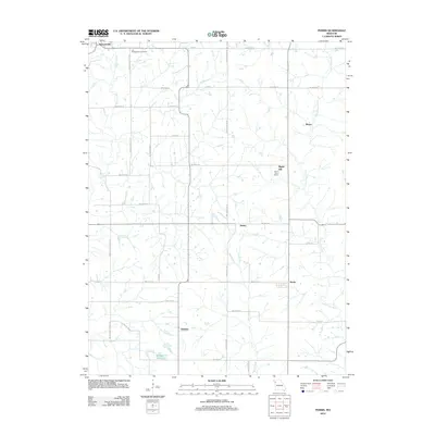 2012 Perrin2012 Print · USGSDeKalb County at the start of the 2010s reveals a rural landscape defined by historic crossroads and creek-side communities. Genealogists can trace family footprints near Old Presbyterian Cemetery or locate the site of the Eskin Post Office and the settlement of Perrin.
 - 2012 Map of Lawson, 2012 Print
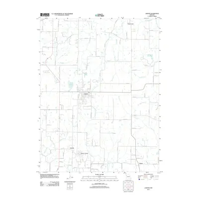 2012 Lawson2012 Print · USGSNorth-central Missouri in the early twenty-first century is characterized by established rural townships and a dense network of river forks. Researchers can trace local development around Lawson, Vibbard, and the recreation areas at Lawson Lake.
 - 2014 Map of Hemple, 2014 Print
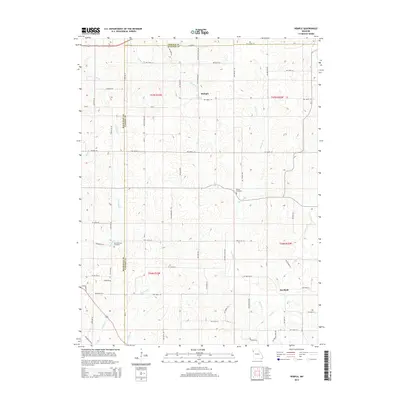 2014 Hemple2014 Print · USGSNorthwest Missouri's rolling farm country comes into focus in this early twenty-first-century survey of the DeKalb and Clinton county lines. Genealogists and local researchers can locate family sites near Starfield, Keller Cemetery, and the banks of Castile Cr.
 - 2014 Map of Cameron East, 2014 Print
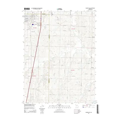 2014 Cameron East2014 Print · USGSThe eastern outskirts of Cameron and the rolling farmland of Caldwell County are captured here in the early twenty-first century. Researchers can trace ancestral roots through numerous local burial sites like Evergreen Cemetery and Hill Cemetery or locate the rural crossroads of Kerr and Far West.
 - 2014 Map of Elmira, 2014 Print
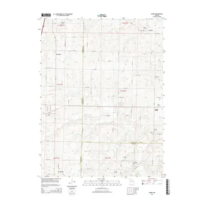 2014 Elmira2014 Print · USGSNorthwestern Missouri at the junction of Caldwell, Clinton, and Ray counties shows a landscape of small rural settlements and extensive watercourses. Genealogists can trace family names through numerous burial sites like Mirabile Cemetery, Cates Cemetery, and Allen Cemetery.
 - 2014 Map of Lawson, 2014 Print
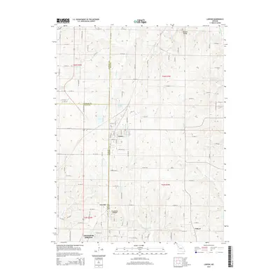 2014 Lawson2014 Print · USGSThe tri-county border area of Missouri comes into focus in this recent survey of the lands surrounding Lawson. Genealogists and local historians can trace the rural reaches of Vibbard and Claysville or locate landmarks like Elmira Camp and Lawson Lake.
 - 2014 Map of Holt, 2014 Print
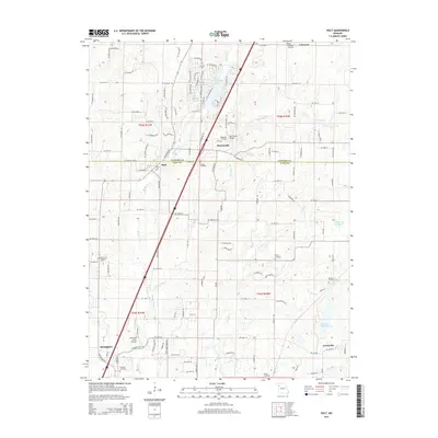 2014 Holt2014 Print · USGSCrossing the Clinton and Clay county line, this area shows the evolution of rural Missouri at the start of the 2010s. Genealogists can trace family footprints at Converse Cemetery and Antioch Cemetery, or locate the historic Watkins Mill Lake and Haynesville crossroads.
 - 2014 Map of Lathrop, 2014 Print
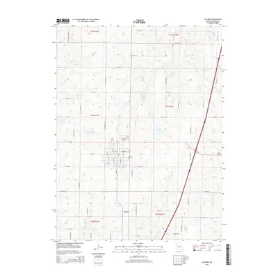 2014 Lathrop2014 Print · USGSClinton County as it appeared in the early twenty-first century shows a landscape where small-town grids meet rural Missouri farmsteads. Researchers can locate family sites near Lathrop Cemetery, Bethel Cemetery, and the quiet settlements of Guyton and Converse.
 - 2015 Map of Smithville, 2015 Print
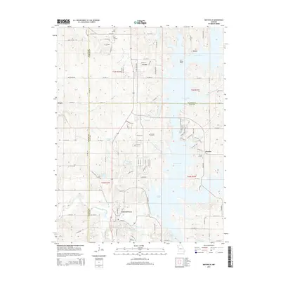 2015 Smithville2015 Print · USGSNorth of Kansas City in the mid-2010s, this area shows the sprawling reach of Smithville Lake into rural Clay and Clinton counties. Genealogists and local historians can trace the sites of Paradise Cemetery, Gaus Cemetery, and the old settlements of Trimble and Mecca.
 - 2015 Map of Gower, 2015 Print
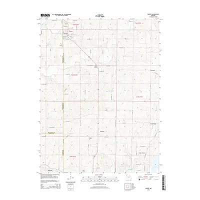 2015 Gower2015 Print · USGSClinton and Buchanan Counties maintain their rural character in this 2010s study of the rolling Missouri countryside. Genealogists can trace family footprints through community sites like Antioch Cemetery, Mount Carmel Cemetery, and the quiet settlements of Gower and Grayson.
 - 2015 Map of Arley, 2015 Print
 2015 Arley2015 Print · USGSClay County's rural northern landscape is captured here in the mid-2010s, showing the interaction between the Smithville Lake shoreline and established farming communities. Genealogists can locate several historic burial sites, including Eberts Cemetery and Mount Zion Cemetery, while tracing the reaches of Owl Cr.
 - 2015 Map of Perrin, 2015 Print
 2015 Perrin2015 Print · USGSDeKalb and Clinton counties are captured here in the mid-2010s, showing a meticulously gridded agricultural landscape at the height of its modern development. Genealogists can locate family landmarks like the Old Presbyterian Cemetery or trace the rural roads connecting Stewartsville, Perrin, and Delaney.
 - 2015 Map of Plattsburg, 2015 Print
 2015 Plattsburg2015 Print · USGSClinton County, Missouri, is captured here in the mid-2010s, showing the town of Plattsburg and its surrounding rural townships. Genealogists can locate family landmarks like the Transue Cemetery and McWilliams Cemetery or trace the early paths of the Little Platte River.
 - 2015 Map of Cameron West, 2015 Print
 2015 Cameron West2015 Print · USGSDeKalb and Clinton counties meet in this Missouri landscape during the mid-2010s, showing a transition from town to farmland. Genealogists can trace family history through sites like Osborn-Evergreen and Turney Cemetery, or locate the hamlet of West Keystone.
 - 2017 Map of Hemple, 2017 Print
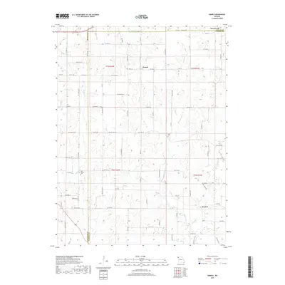 2017 Hemple2017 Print · USGSThe rural intersections of DeKalb, Buchanan, and Clinton counties are documented here in the early twenty-first century. Genealogists and local historians can trace family roots at New Harmony Cem and Keller Cem or explore the drainage of Castile Cr and Jordan Cr.
Showing maps 1-25 of 36
Top cities of Clinton County
- Lathrop historical maps
- Plattsburg historical maps
- Gower historical maps
- Trimble historical maps
- Turney historical maps
- Grayson historical maps
Frequently asked questions
- What are the different types of historical maps available for Clinton County?
- What is the oldest map of Clinton County?
- Where can I purchase historical maps of Clinton County for my home or office?
- Where can I download high-res historical maps of Clinton County?
- Are there historical topographic maps available for Clinton County?
- Is there historical aerial imagery available for Clinton County?
- Where are historical maps of Clinton County sourced from?