2000s (21st Century) Maps of Cole County, Missouri
Explore 58 historic maps of Cole County from the 2000s (21st Century). These maps offer a rare glimpse into what life looked like during the 2000s — showing old roads, neighborhoods, homes, and landmarks that have changed or disappeared over time.
Whether you're researching your family's past, planning a metal detecting trip, or studying how Cole County's landscape evolved across the 2000s, these high-resolution maps are a powerful tool for exploring the history of this region.
- Focus on a specific era: All maps on this page are from the 2000s, giving you a focused view of this time period.
- See what’s changed: Compare century-old streets, trails, and buildings to today's modern landscape using overlays and satellite layers.
- Research with precision: Use these maps for genealogy, historical research, land use analysis, or educational projects.
- View, download, or print: Maps are fully viewable online in high resolution, and can be downloaded or printed for your own records.
Start exploring Cole County's history through authentic maps from the 2000s. This is your window into the past.
Cole County, MO maps
(58)- 2000 Map of Hartsburg, 2003 Print
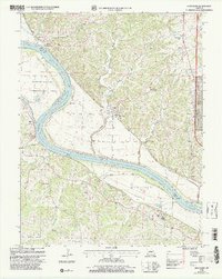 2000 Hartsburg2003 Print · USGSThe Missouri River bluffs and bottomlands are captured here at the end of the twentieth century. Genealogists and historians can trace family sites like Steeley Cem and Bonds Chapel, or locate the Indian Mound and State Auxiliary Prison (Church Farm).
 - 2000 Map of Jefferson City NW, 2003 Print
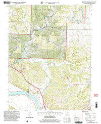 2000 Jefferson City NW2003 Print · USGSCallaway County and the Missouri River bottomlands are captured here at the turn of the millennium as a blend of conservation forest and river-fed agriculture. Researchers can trace family history at Wallace Cemetery or explore the corridor of the Katy Trail State Park near the State Prison Farm.
 - 2011 Map of Brazito, 2011 Print
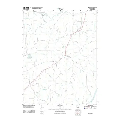 2011 Brazito2011 Print · USGSThe rural landscape of Cole County unfolds in this early twenty-first-century survey, from the Hickory Hill community to the Osage River shoreline. Researchers can trace family ties at Johnson Cemetery or map the winding course of the Moreau River and Bois Brule Creek.
 - 2011 Map of Saint Elizabeth, 2011 Print
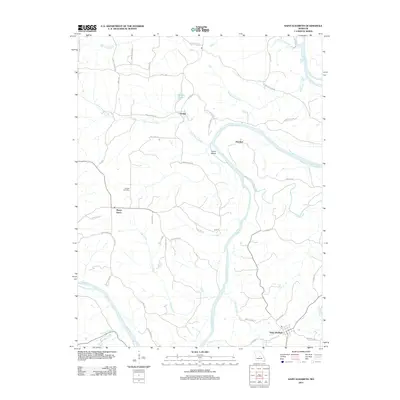 2011 Saint Elizabeth2011 Print · USGSMiller County’s river-bound landscapes are captured here during the early 2000s, showing the rural communities along the Osage River. Genealogists and local historians can trace family locations near Saint Elizabeth, Marys Home, and the old Jenkins Cemetery.
 - 2011 Map of Russellville, 2011 Print
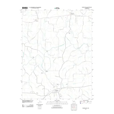 2011 Russellville2011 Print · USGSThe rural landscapes of Cole County come alive in this study of mid-Missouri settlement and drainage patterns. Researchers can trace ancestral lines through numerous family burial grounds like Murray Cemetery and locate historical river crossings at Shock Ford and Kaley Ford.
 - 2011 Map of Centertown NW, 2011 Print
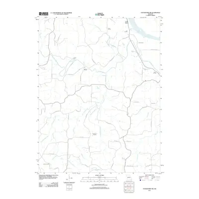 2011 Centertown NW2011 Print · USGSThe rural landscapes of Cole County are captured here in the early twenty-first century, centered on the Missouri River bluffs. Researchers can trace ancestral property and community hubs through several rural burial grounds like Sweetwater Cemetery and the settlement at Bacon.
 - 2011 Map of Enon, 2011 Print
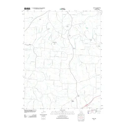 2011 Enon2011 Print · USGSMid-Missouri's rural character is preserved in this study of the communities surrounding the Moreau Creek drainage in the early 2010s. Genealogists and historians can locate family landmarks like Enon Cemetery, Payne Ford, and the settlement of Decatur.
 - 2011 Map of Osage City, 2011 Print
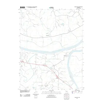 2011 Osage City2011 Print · USGSThe Missouri and Osage rivers converge here in the early twenty-first century, shaping a landscape of river towns and rural family lands. Genealogists can locate several local burial sites including Saint Xaviers Cemetery, Wolfrum Cemetery, and Link Cemetery.
 - 2011 Map of Eugene, 2011 Print
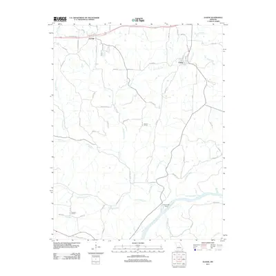 2011 Eugene2011 Print · USGSMiller County at the start of the 2010s shows a landscape of river-bottom lands and small Missouri settlements. Researchers can trace family history at Gageville Cemetery or explore the banks of the Osage River near Etterville.
 - 2011 Map of Lohman, 2011 Print
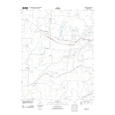 2011 Lohman2011 Print · USGSCole County west of Jefferson City is shown in detail here during the early twenty-first century. Genealogists and local historians can trace family locations near Lohman and Saint Martins, or locate several burial grounds like Old Catholic Cemetery and Stone Cemetery.
 - 2011 Map of Wardsville, 2011 Print
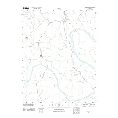 2011 Wardsville2011 Print · USGSThe Osage River valley comes to life in this early twenty-first-century survey of Cole County. Genealogists and local historians can trace family locations near Wardsville, Saint Stanislaus Cemetery, and the historic site of Bodie Ferry.
 - 2011 Map of Westphalia West, 2011 Print
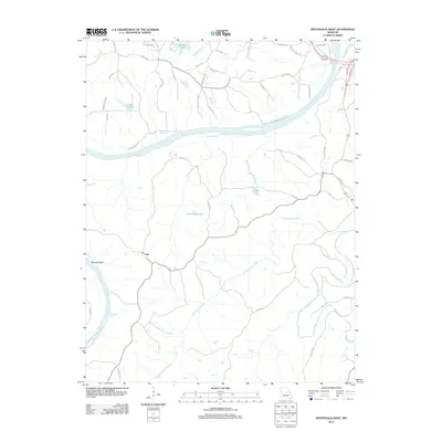 2011 Westphalia West2011 Print · USGSThe Osage and Maries rivers converge in this part of Cole County during the early 2010s, showing a landscape defined by its waterways and rural crossings. Genealogists and local historians can trace the routes around Folk or locate family-named features like Baumhoer Lake and Bodie Ferry Rd.
 - 2011 Map of Jefferson City, 2011 Print
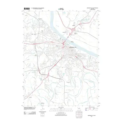 2011 Jefferson City2011 Print · USGSJefferson City and the Missouri River corridor are captured here in the early twenty-first century, showing the capital's expansion and its river-bound geography. Genealogists and historians can locate Lincoln University, the Jefferson City National Cemetery, and family sites like Smith Cemetery or Lamkin Cemetery.
 - 2011 Map of Meta, 2011 Print
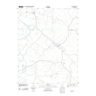 2011 Meta2011 Print · USGSOsage County in the early twenty-first century remains a landscape of high ridges and winding river bottoms. Researchers can trace family sites near Saint Thomas, Babbtown, and Meta, or locate rural burial grounds like Saint Cecilia Cemetery and South Side Cemetery.
 - 2012 Map of Hartsburg, 2012 Print
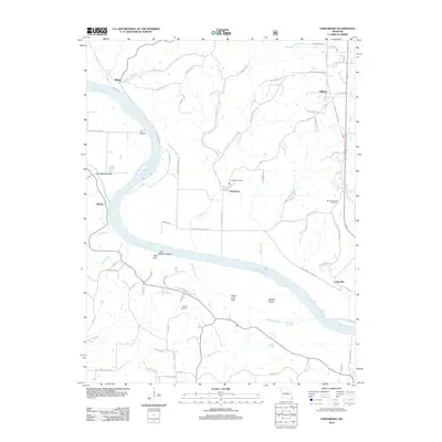 2012 Hartsburg2012 Print · USGSThe Missouri River corridor comes into sharp focus during the early twenty-first century, highlighting riverfront towns and geological landmarks. Genealogists can locate family sites at Friedens Cemetery and Mount Pleasant Cemetery or trace the river's edge past Little Manitou Rocks and Fox Island.
 - 2012 Map of Jefferson City NW, 2012 Print
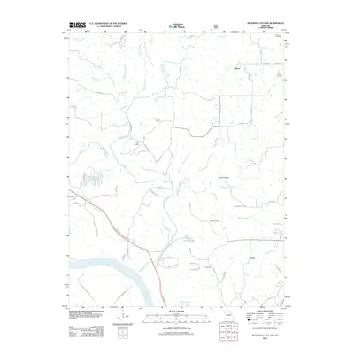 2012 Jefferson City NW2012 Print · USGSNorth of the Missouri River, this early 21st-century landscape preserves a network of rural homesteads and family burial grounds. Researchers can trace local lineage through several sites including Mount Vernon Cemetery, Wallace Cemetery, and the settlement of Folsom.
 - 2015 Map of Meta, 2015 Print
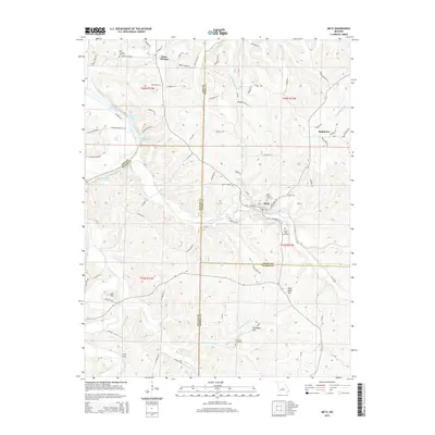 2015 Meta2015 Print · USGSOsage County and its neighboring borders are documented here in the mid-2010s, showing a landscape defined by the Osage River and traditional rural settlements. Researchers can trace family history through Saint Cecilia Cemetery or locate natural landmarks like Arch Cave and Lost Hill.
 - 2015 Map of Wardsville, 2015 Print
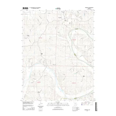 2015 Wardsville2015 Print · USGSThe Osage River valley south of Jefferson City comes into focus during the mid-2010s, showing a landscape defined by deep river bends and rural communities. Local history researchers can pinpoint family landmarks from Wardsville to St Thomas and locate the Saint Stanislaus Cemetery.
 - 2015 Map of Lohman, 2015 Print
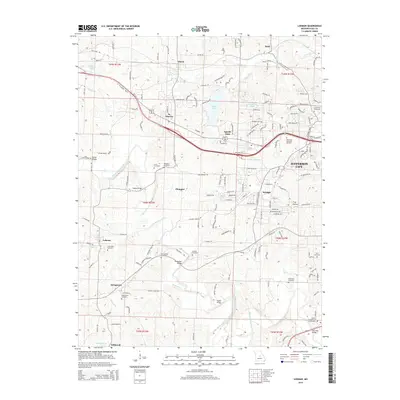 2015 Lohman2015 Print · USGSJefferson City and its western rural peripheries are captured here during a period of modern expansion alongside preserved local landmarks. Trace historical property lines and family heritage at Saint Pauls Cemetery, Gordon Cemetery, and the Old Catholic Cemetery.
 - 2015 Map of Hartsburg, 2015 Print
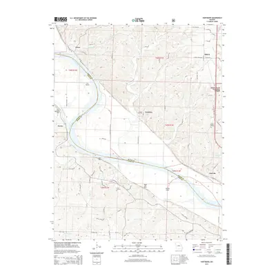 2015 Hartsburg2015 Print · USGSMid-Missouri river life and railroad history converge along the Boone and Cole county lines in the early twenty-first century. Genealogists and local historians can trace family connections at Friedens Cemetery or explore the river-bluff landings of Wilton and Claysville.
 - 2015 Map of Russellville, 2015 Print
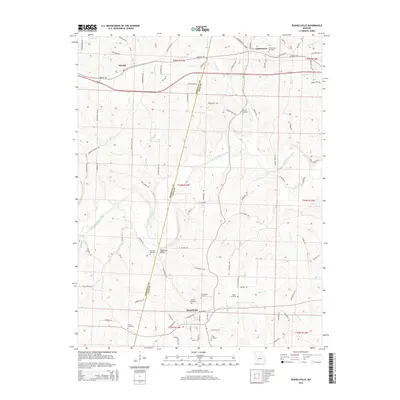 2015 Russellville2015 Print · USGSCole and Moniteau Counties are shown here during the mid-2010s, capturing the rural landscape between Jefferson City and California, Missouri. Genealogists can trace family sites via Russellville Cemetery, Blank Cemetery, and the crossing at Rockhouse Bridge.
 - 2015 Map of Saint Elizabeth, 2015 Print
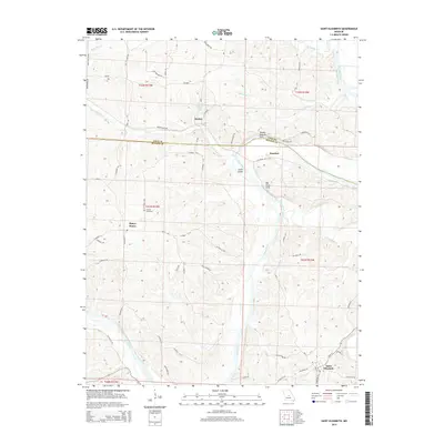 2015 Saint Elizabeth2015 Print · USGSThe Osage River valley in Miller and Cole counties comes into focus during this mid-2010s survey. Genealogists and local historians can trace family locations near Marys Home, Saint Elizabeth, and the Jenkins Cemetery.
 - 2015 Map of Enon, 2015 Print
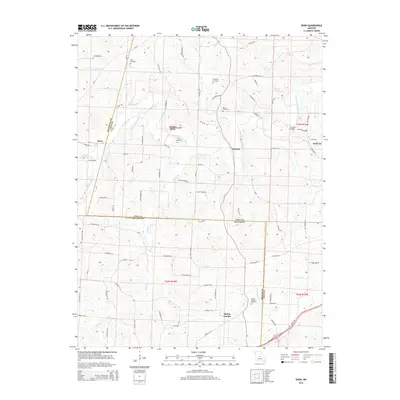 2015 Enon2015 Print · USGSThe rural borderlands of Cole, Miller, and Moniteau Counties come into focus in the mid-2010s, showing a landscape shaped by the winding South Moreau Creek. Genealogists can trace family roots through several local sites including Enloe Cemetery and Spring Garden Cemetery.
 - 2015 Map of Jefferson City, 2015 Print
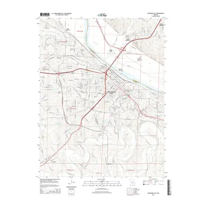 2015 Jefferson City2015 Print · USGSJefferson City and its Missouri River crossings are captured here during a period of modern expansion. Researchers can trace the grounds of Lincoln Univ, locate numerous historical burial sites like Riverview Cemetery, and explore the rail corridors near Cole Junction.
 - 2015 Map of Centertown NW, 2015 Print
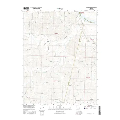 2015 Centertown NW2015 Print · USGSMissouri's river-fed borderlands appear in this mid-2010s survey where three counties meet. Researchers can trace rural cemeteries and forgotten crossroads like Bacon, Sweetwater, and the river landing at Sandy Hook.
Showing maps 1-25 of 58
Top cities of Cole County
- Jefferson City historical maps
- Wardsville historical maps
- Taos historical maps
- Russellville historical maps
- Centertown historical maps
- Lohman historical maps
Frequently asked questions
- What are the different types of historical maps available for Cole County?
- What is the oldest map of Cole County?
- Where can I purchase historical maps of Cole County for my home or office?
- Where can I download high-res historical maps of Cole County?
- Are there historical topographic maps available for Cole County?
- Is there historical aerial imagery available for Cole County?
- Where are historical maps of Cole County sourced from?