2000s (21st Century) Maps of Independence, Missouri
Explore 24 historic maps of Independence from the 2000s (21st Century). These maps offer a rare glimpse into what life looked like during the 2000s — showing old roads, neighborhoods, homes, and landmarks that have changed or disappeared over time.
Whether you're researching your family's past, planning a metal detecting trip, or studying how Independence's landscape evolved across the 2000s, these high-resolution maps are a powerful tool for exploring the history of this region.
- Focus on a specific era: All maps on this page are from the 2000s, giving you a focused view of this time period.
- See what’s changed: Compare century-old streets, trails, and buildings to today's modern landscape using overlays and satellite layers.
- Research with precision: Use these maps for genealogy, historical research, land use analysis, or educational projects.
- View, download, or print: Maps are fully viewable online in high resolution, and can be downloaded or printed for your own records.
Start exploring Independence's history through authentic maps from the 2000s. This is your window into the past.
Independence, MO maps
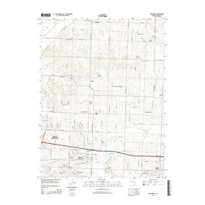
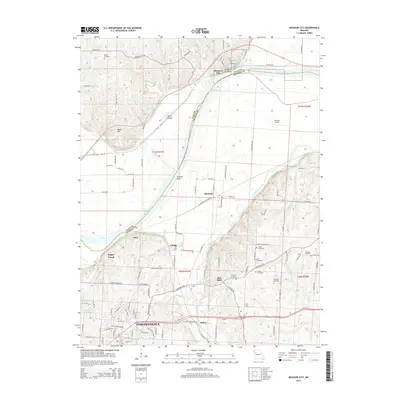
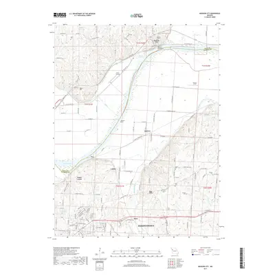
(24)- 2012 Map of Oak Grove, 2012 Print
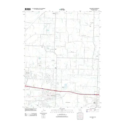 2012 Oak Grove2012 Print · USGSCovers Independence, including Blue Springs, Grain Valley, and other nearby areas
 - 2012 Map of Independence, 2012 Print
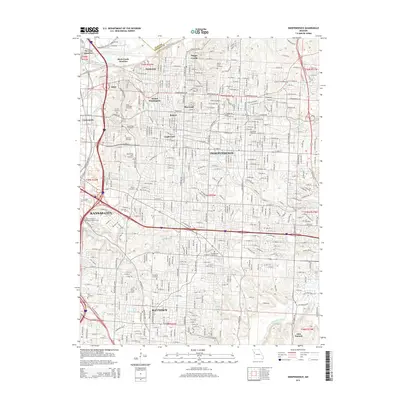
 2012 Independence2012 Print · USGSCovers Independence, including Kansas City, Lee's Summit, and other nearby areas
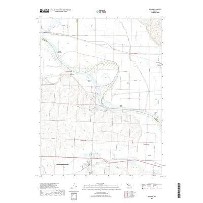
 - 2012 Map of Missouri City, 2012 Print
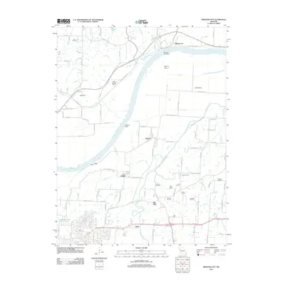 2012 Missouri City2012 Print · USGSCovers Independence, including Missouri City, Atherton, and other nearby areas
 - 2012 Map of Liberty, 2012 Print
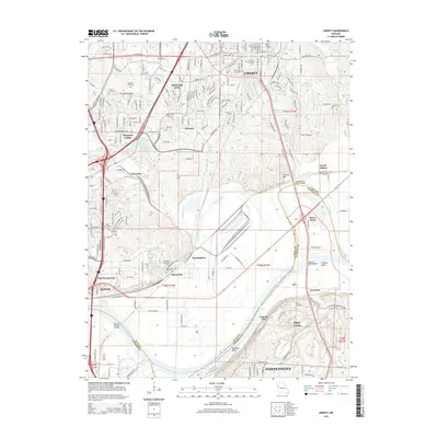
 2012 Liberty2012 Print · USGSCovers Independence, including Kansas City, Liberty, and other nearby areas
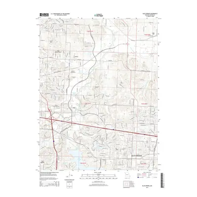
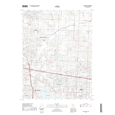
 - 2012 Map of Blue Springs, 2012 Print
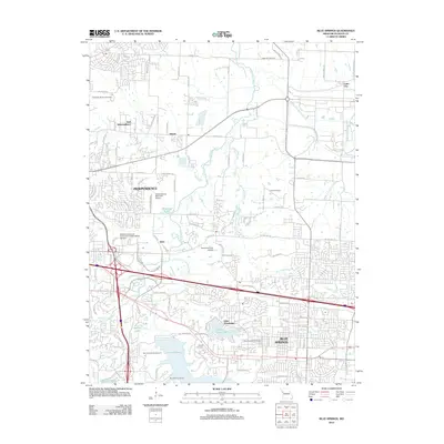 2012 Blue Springs2012 Print · USGSCovers Independence, including Lee's Summit, Blue Springs, and other nearby areas
 - 2012 Map of Buckner, 2012 Print
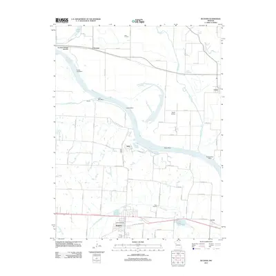 2012 Buckner2012 Print · USGSCovers Independence, including Buckner, Orrick, and other nearby areas
 - 2014 Map of Buckner, 2014 Print
 2014 Buckner2014 Print · USGSCovers Independence, including Buckner, Orrick, and other nearby areas
 - 2014 Map of Oak Grove, 2014 Print
 2014 Oak Grove2014 Print · USGSCovers Independence, including Blue Springs, Grain Valley, and other nearby areas
 - 2015 Map of Missouri City, 2015 Print
 2015 Missouri City2015 Print · USGSCovers Independence, including Missouri City, Atherton, and other nearby areas
 - 2015 Map of Blue Springs, 2015 Print
 2015 Blue Springs2015 Print · USGSCovers Independence, including Lee's Summit, Blue Springs, and other nearby areas
 - 2015 Map of Liberty, 2015 Print
 2015 Liberty2015 Print · USGSCovers Independence, including Kansas City, Liberty, and other nearby areas
 - 2015 Map of Independence, 2015 Print
 2015 Independence2015 Print · USGSCovers Independence, including Kansas City, Lee's Summit, and other nearby areas
 - 2017 Map of Missouri City, 2017 Print
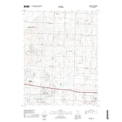
 2017 Missouri City2017 Print · USGSCovers Independence, including Missouri City, Atherton, and other nearby areas
 - 2017 Map of Buckner, 2017 Print
 2017 Buckner2017 Print · USGSCovers Independence, including Buckner, Orrick, and other nearby areas
 - 2017 Map of Blue Springs, 2017 Print
 2017 Blue Springs2017 Print · USGSCovers Independence, including Lee's Summit, Blue Springs, and other nearby areas
 - 2017 Map of Independence, 2017 Print
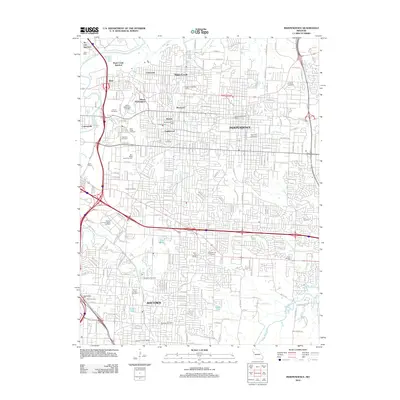
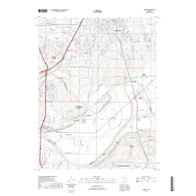
 2017 Independence2017 Print · USGSCovers Independence, including Kansas City, Lee's Summit, and other nearby areas
 - 2017 Map of Liberty, 2017 Print
 2017 Liberty2017 Print · USGSCovers Independence, including Kansas City, Liberty, and other nearby areas
 - 2017 Map of Oak Grove, 2017 Print
 2017 Oak Grove2017 Print · USGSCovers Independence, including Blue Springs, Grain Valley, and other nearby areas
 - 2021 Map of Buckner, 2021 Print
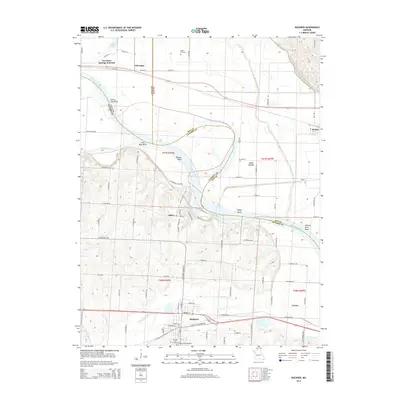
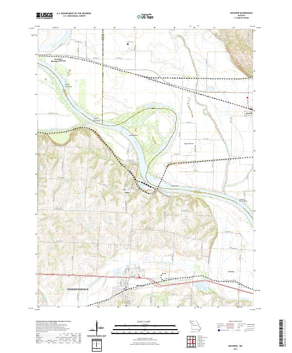 2021 Buckner2021 Print · USGSThe Missouri River bottoms near the Jackson, Clay, and Ray county lines are shown here in detail during the early 2020s. Genealogists and local historians can trace family sites at Buckner Hill Cem and Dillen Cem or locate the riverside settlements of Sibley and Levasy.
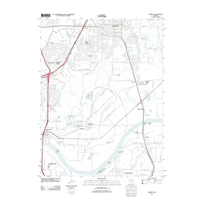
 - 2021 Map of Liberty, 2021 Print
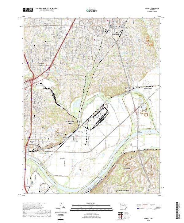 2021 Liberty2021 Print · USGSLiberty and the riverfront towns of Clay County appear in high detail during this contemporary era of growth and industrial activity. Researchers can trace ancestral sites at Minneville Cem or locate regional landmarks like William Jewell College and the Harry S Truman Bridge.
 - 2021 Map of Oak Grove, 2021 Print
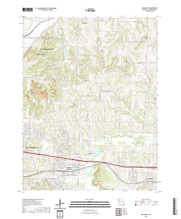 2021 Oak Grove2021 Print · USGSJackson County settlement and modern growth converge here in the early twenty-first century as suburban expansion reaches the edges of the Missouri prairie. Researchers can trace ancestral sites at Oakland Cemetery and Bone Hill or locate the East Kansas City Airport.
 - 2021 Map of Blue Springs, 2021 Print
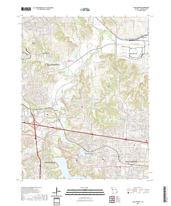 2021 Blue Springs2021 Print · USGSThe eastern edges of Jackson County are captured here in a period of significant suburban development alongside the Little Blue River. Researchers can trace local heritage at Lobb Cem, the community at Lake Tapawingo, and the modern campus of Metropolitan Community College - Blue River.
 - 2021 Map of Missouri City, 2021 Print
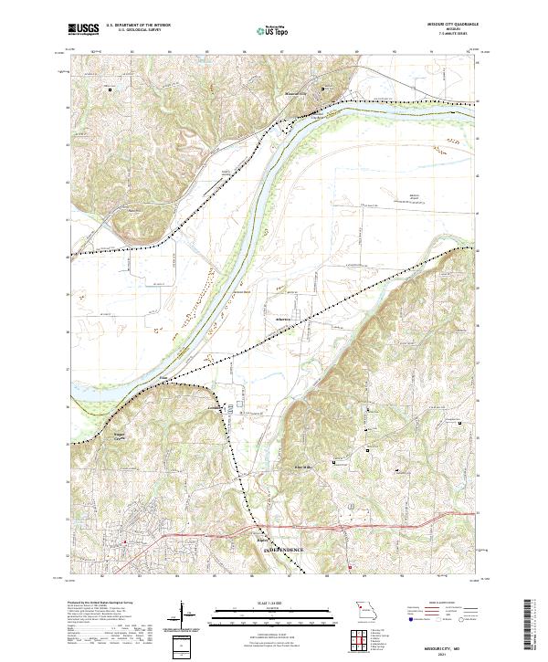 2021 Missouri City2021 Print · USGSThe Missouri River bottomlands and Clay County bluffs are captured here in the early 2020s. Genealogists and local historians can trace family plots at Keller Cem or Rice Cem and explore the layouts of Missouri City and Atherton.
 - 2021 Map of Independence, 2021 Print
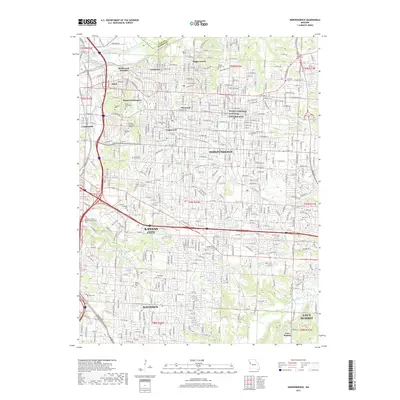
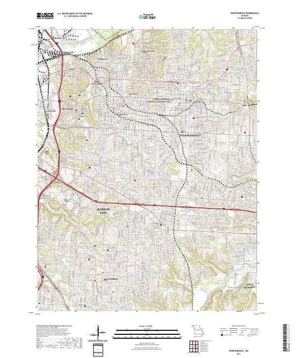 2021 Independence2021 Print · USGSIndependence and its eastern suburbs are shown in high detail during this contemporary era of growth and preservation. Researchers can locate family sites and landmarks like Mount Washington Cem, Sugar Creek, and the Harry S Truman National Historic Site.
End of results
Showing maps 1-24 of 24
Top cities near Independence
- Kansas City historical maps
- Lee's Summit historical maps
- Blue Springs historical maps
- Liberty historical maps
- Raytown historical maps
- Gladstone historical maps
See more
Top neighborhoods of Independence
- Fairmount historical maps
- Maywood historical maps
- Mount Washington historical maps
- Lake City historical maps
- Adams historical maps
- East Independence historical maps
See more
Frequently asked questions
- What are the different types of historical maps available for Independence?
- What is the oldest map of Independence?
- Where can I purchase historical maps of Independence for my home or office?
- Where can I download high-res historical maps of Independence?
- Are there historical topographic maps available for Independence?
- Is there historical aerial imagery available for Independence?
- Where are historical maps of Independence sourced from?