2010s Maps of Johnson County, Missouri
Explore 69 historic maps of Johnson County from the 2010s. These maps offer a rare glimpse into what life looked like during the 2010s — showing old roads, neighborhoods, homes, and landmarks that have changed or disappeared over time.
Whether you're researching your family's past, planning a metal detecting trip, or studying how Johnson County's landscape evolved across the 2010s, these high-resolution maps are a powerful tool for exploring the history of this region.
- Focus on a specific era: All maps on this page are from the 2010s, giving you a focused view of this time period.
- See what’s changed: Compare century-old streets, trails, and buildings to today's modern landscape using overlays and satellite layers.
- Research with precision: Use these maps for genealogy, historical research, land use analysis, or educational projects.
- View, download, or print: Maps are fully viewable online in high resolution, and can be downloaded or printed for your own records.
Start exploring Johnson County's history through authentic maps from the 2010s. This is your window into the past.
Johnson County, MO maps
(69)- 2011 Map of Blairstown, 2011 Print
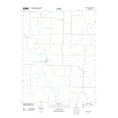 2011 Blairstown2011 Print · USGSWestern Missouri farmland and small-town life are documented here at the start of the 2010s. Genealogists and local historians can trace family roots through numerous burial sites like Quick Cemetery and Carpenter Cemetery or follow the paths of Big Creek.
 - 2011 Map of Concordia, 2011 Print
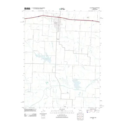 2011 Concordia2011 Print · USGSConcordia and the fertile bottomlands of the Lafayette County region are shown here as they appeared in the early twenty-first century. Researchers can locate several historic burial grounds including Saint Johns Cemetery and trace the paths of Old Hwy 40 and the Blackwater River.
 - 2011 Map of Warrensburg East, 2011 Print
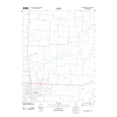 2011 Warrensburg East2011 Print · USGSThe eastern edge of Warrensburg meets the rural Missouri landscape in the early twenty-first century. Genealogists can trace family roots through numerous local burial sites including Liberty Cemetery, Maxwell Cemetery, and Adams Cemetery.
 - 2011 Map of Holden, 2011 Print
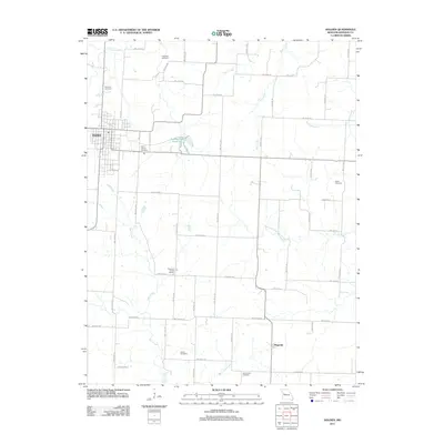 2011 Holden2011 Print · USGSWestern Johnson County at the start of the 2010s reveals a structured landscape of family-named cemeteries and rural school sites. Researchers can trace land ties at Pleasant Shade School or locate ancestors at Saint Patrick Cemetery and Elliott Cemetery.
 - 2011 Map of La Monte, 2011 Print
 2011 La Monte2011 Print · USGSThe Pettis County plains around La Monte are captured here during a period of modern agricultural stability. Genealogists and local historians can trace the creek-side paths of Stokley or locate family plots within the La Monte Cemetery.
 - 2011 Map of Windsor, 2011 Print
 2011 Windsor2011 Print · USGSThe rural landscape around Windsor is shown in detail during the early twenty-first century. Genealogists and local historians can trace family roots at numerous burial sites like Laurel Oak Cemetery and Woodard Cemetery or locate the old settlements of Bowen and Sutherland.
 - 2011 Map of Odessa South, 2011 Print
 2011 Odessa South2011 Print · USGSLafayette County's agricultural landscape and small-town expansion are documented here during the early twenty-first century. Researchers can trace historic school routes and family landmarks like Wagon Knob, Odessa Lake, and the community at Lake Lafayette.
 - 2011 Map of Knob Noster NW, 2011 Print
 2011 Knob Noster NW2011 Print · USGSThe rural countryside near Higginsville remains deeply rooted in its agricultural heritage in the early 2010s. Genealogists and local historians can trace family locations near Ernestville, Mount Olive, and the historic Foster Cemetery.
 - 2011 Map of Chilhowee, 2011 Print
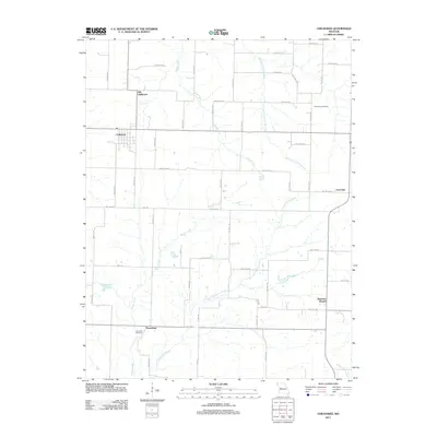 2011 Chilhowee2011 Print · USGSAgricultural lands in Johnson County are captured here just after the millennium, showing a landscape defined by small communities and rural cemeteries. Genealogists can trace family connections near Old Chilhowee, Providence Cemetery, and the settlement of Petersburg.
 - 2011 Map of Cornelia, 2011 Print
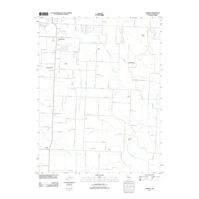 2011 Cornelia2011 Print · USGSJohnson County is documented here during the early 2010s, showing a rural landscape defined by its creek valleys and established crossroads. Researchers can trace the layout of historic settlements like Bristle Ridge and Cornelia alongside family cemeteries such as Fickas Cemetery and Jones Cemetery.
 - 2011 Map of Pittsville, 2011 Print
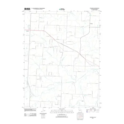 2011 Pittsville2011 Print · USGSPittsville and Columbus are documented in this 2011 Missouri survey, which details the intricate river systems and rural road networks of Johnson County. Researchers can pinpoint historic locations such as Blackwater Cemetery and Haymaker Cemetery or trace the winding paths of Brush Creek and Butcher Branch.
 - 2011 Map of Centerview, 2011 Print
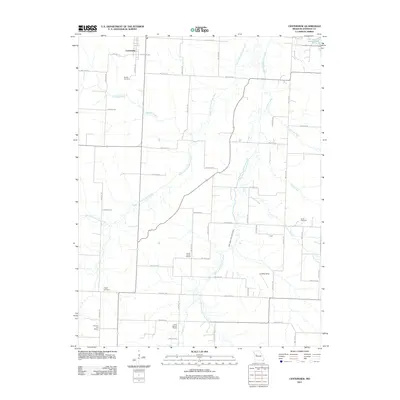 2011 Centerview2011 Print · USGSCenterview and the surrounding Johnson County countryside appear in clear detail during the early twenty-first century. Genealogists and local historians can pinpoint several rural school sites and family-named cemeteries including Sluder Cemetery, Science Hill School, and Greer Cemetery.
 - 2011 Map of Sweet Springs, 2011 Print
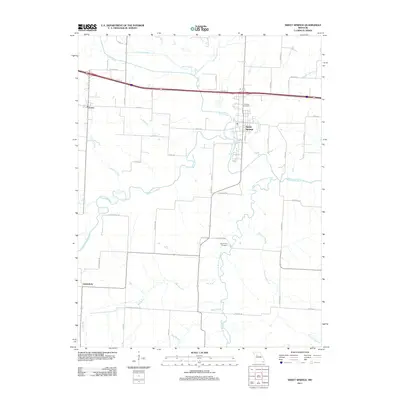 2011 Sweet Springs2011 Print · USGSThe Saline County countryside comes into focus in the early 2010s as a network of river-fed valleys and rural townships. Researchers can trace the layout of Sweet Springs, locate the Fairview Cemetery, and follow the winding course of the Blackwater River.
 - 2011 Map of Warrensburg West, 2011 Print
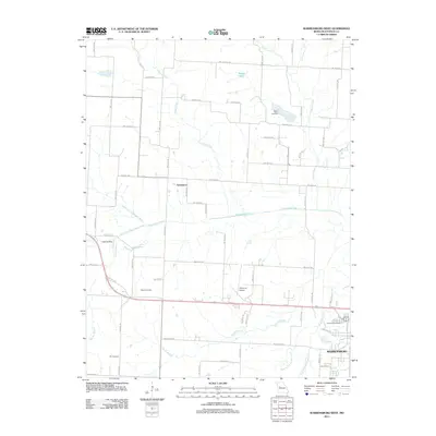 2011 Warrensburg West2011 Print · USGSThe western fringes of Warrensburg and the settlement of Greendoor are documented here during the early twenty-first century. Researchers can locate several family burial grounds including Houx and Dix, along with aviation sites like Skyhaven Airport.
 - 2011 Map of Burtville, 2011 Print
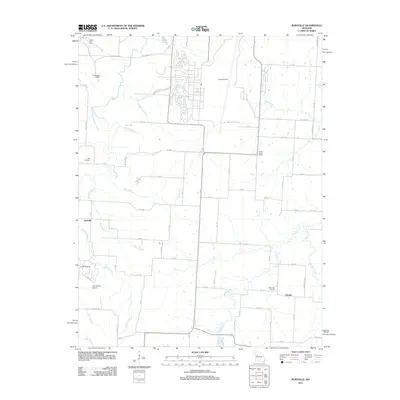 2011 Burtville2011 Print · USGSBurtville and Owsley serve as the primary hubs for this Johnson County landscape during the early twenty-first century. Genealogists and local historians can locate the Ellis Cemetery, Prairie Home School, and the Lake Sexton Airport.
 - 2011 Map of Leeton, 2011 Print
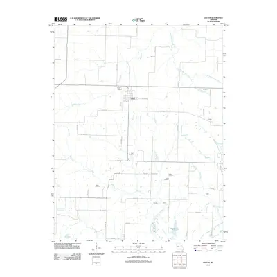 2011 Leeton2011 Print · USGSThis Johnson County landscape near Leeton illustrates the dense rural settlement patterns of central Missouri in the early twenty-first century. Genealogists can trace family history through numerous local burial sites like Wade Cemetery, Sardis Cemetery, and Avery Cemetery.
 - 2011 Map of Knob Noster, 2011 Print
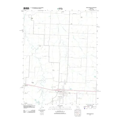 2011 Knob Noster2011 Print · USGSKnob Noster and the Johnson County countryside are shown here at the start of the decade, revealing a landscape of family farms and rural cemeteries. Genealogists and historians can trace Saint Joseph Cemetery, Carbon Hill, and the vanished tracks near Valley City.
 - 2011 Map of Fayetteville, 2011 Print
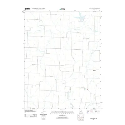 2011 Fayetteville2011 Print · USGSJohnson County’s rural interior is documented here in the early twenty-first century, showing the enduring agricultural and hydraulic patterns of the region. Researchers can locate the site of the Tabo Post Office and trace family-named roads such as Weaver School Rd and Begemann Rd.
 - 2011 Map of Quick City, 2011 Print
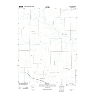 2011 Quick City2011 Print · USGSQuick City and the surrounding Missouri countryside are captured here in the early twenty-first century as a landscape of rural roads and winding creeks. Genealogists can locate several local burial grounds, such as Pemberton and Grant Cemetery, alongside the distinctive Old Channel Big Creek.
 - 2011 Map of Kingsville, 2011 Print
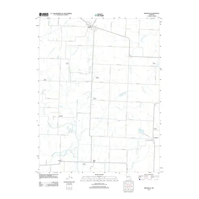 2011 Kingsville2011 Print · USGSIn the western Missouri countryside of the early 21st century, these agrarian lands remain defined by established family settlements and small hubs. Genealogists can trace local roots at Rose Hill Cemetery, Medford, and the Olive Hill Post Office along the creeks.
 - 2011 Map of East Lynne, 2011 Print
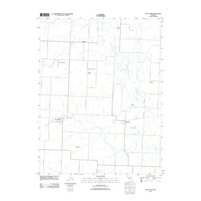 2011 East Lynne2011 Print · USGSThis rural Cass County landscape near the turn of the decade showcases the agricultural heart of Missouri. Genealogists and local historians can trace family connections through landmarks like Staley Mound Cemetery, the settlement of Gunn City, and Strasburg Cemetery.
 - 2011 Map of Elm, 2011 Print
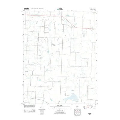 2011 Elm2011 Print · USGSThe rural uplands of Johnson County are shown here in the early 21st century, where the South Fork Blackwater River cuts through a landscape of family farms. Researchers can locate several historical burial sites including Basin Knob Cemetery, Underwood Cemetery, and Bluff Springs Cemetery.
 - 2011 Map of Chapel Hill, 2011 Print
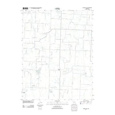 2011 Chapel Hill2011 Print · USGSThe rural landscapes around Jackson County were undergoing steady change in the early 2010s, maintaining a quiet balance between small crossroads like Chapel Hill and modern infrastructure. Genealogists can locate several local burial sites, including Shore Cemetery and Hill Cemetery, while tracing the winding paths of Sni-A-Bar Creek.
 - 2014 Map of Kingsville, 2014 Print
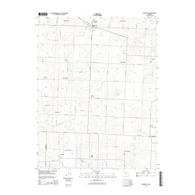 2014 Kingsville2014 Print · USGSWestern Missouri's rural landscape is captured here in the early twenty-first century, centered on the community of Kingsville. Researchers can trace the roots of local families through numerous burial sites like Rose Hill Cemetery and Holden Cemetery, or follow the winding courses of Big Creek and Lost Creek.
 - 2014 Map of Knob Noster NW, 2014 Print
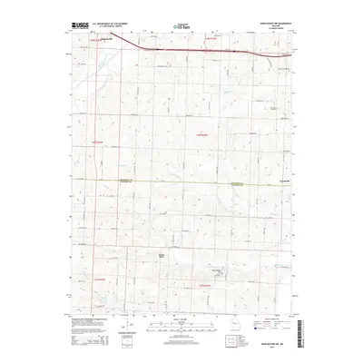 2014 Knob Noster NW2014 Print · USGSLafayette and Johnson counties are captured in the early 21st century as agricultural traditions meet modern transit corridors. Genealogists and local historians can trace family land proximity to landmarks like New Hope Cemetery, Mount Olive, and the waters of Mulkey Cr.
Showing maps 1-25 of 69
Top cities of Johnson County
- Warrensburg historical maps
- Knob Noster historical maps
- Holden historical maps
- Leeton historical maps
- Chilhowee historical maps
- Kingsville historical maps
See more
Frequently asked questions
- What are the different types of historical maps available for Johnson County?
- What is the oldest map of Johnson County?
- Where can I purchase historical maps of Johnson County for my home or office?
- Where can I download high-res historical maps of Johnson County?
- Are there historical topographic maps available for Johnson County?
- Is there historical aerial imagery available for Johnson County?
- Where are historical maps of Johnson County sourced from?