2000s (21st Century) Maps of Lafayette County, Missouri
Explore 76 historic maps of Lafayette County from the 2000s (21st Century). These maps offer a rare glimpse into what life looked like during the 2000s — showing old roads, neighborhoods, homes, and landmarks that have changed or disappeared over time.
Whether you're researching your family's past, planning a metal detecting trip, or studying how Lafayette County's landscape evolved across the 2000s, these high-resolution maps are a powerful tool for exploring the history of this region.
- Focus on a specific era: All maps on this page are from the 2000s, giving you a focused view of this time period.
- See what’s changed: Compare century-old streets, trails, and buildings to today's modern landscape using overlays and satellite layers.
- Research with precision: Use these maps for genealogy, historical research, land use analysis, or educational projects.
- View, download, or print: Maps are fully viewable online in high resolution, and can be downloaded or printed for your own records.
Start exploring Lafayette County's history through authentic maps from the 2000s. This is your window into the past.
Lafayette County, MO maps
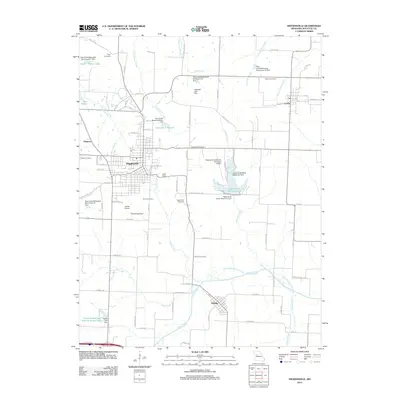
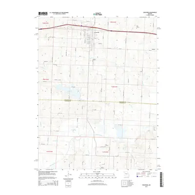
(76)- 2011 Map of Concordia, 2011 Print
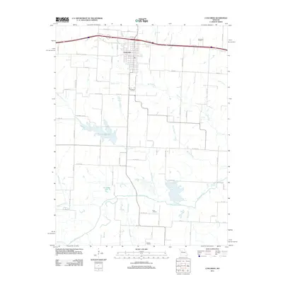 2011 Concordia2011 Print · USGSCovers Lafayette County, including Concordia, Emma, and other nearby areas
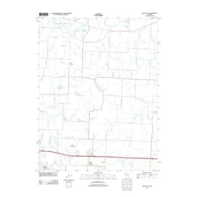
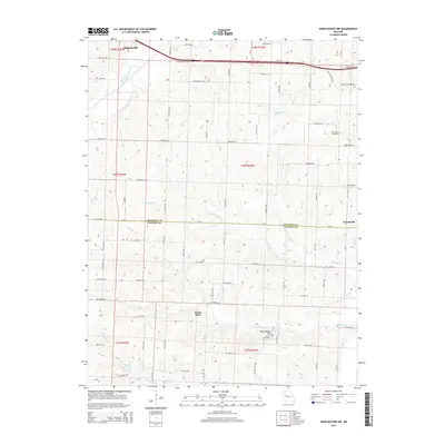
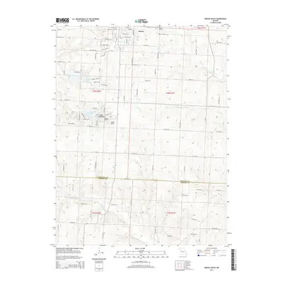
 - 2011 Map of Odessa South, 2011 Print
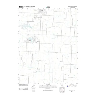 2011 Odessa South2011 Print · USGSCovers Lafayette County, including Odessa, Lake Lafayette, and other nearby areas
 - 2011 Map of Knob Noster NW, 2011 Print
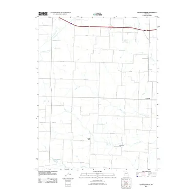 2011 Knob Noster NW2011 Print · USGSCovers Lafayette County, including Higginsville, Mount Olive, and other nearby areas
 - 2011 Map of Sweet Springs, 2011 Print
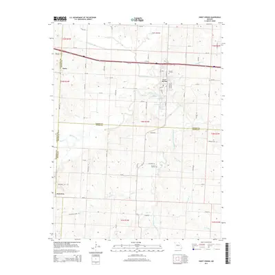
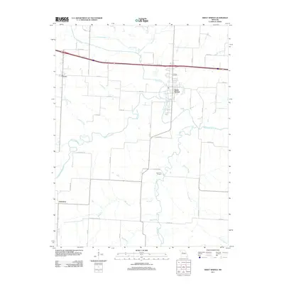 2011 Sweet Springs2011 Print · USGSCovers Lafayette County, including Sweet Springs, Emma, and other nearby areas
 - 2011 Map of Fayetteville, 2011 Print
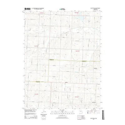
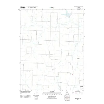 2011 Fayetteville2011 Print · USGSCovers Lafayette County, including Robbins, Hoffman, and other nearby areas
 - 2011 Map of Chapel Hill, 2011 Print
 2011 Chapel Hill2011 Print · USGSCovers Lafayette County, including Oak Grove, Bates City, and other nearby areas
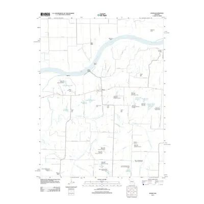
 - 2012 Map of Odessa North, 2012 Print
 2012 Odessa North2012 Print · USGSCovers Lafayette County, including Odessa, Greenton, and other nearby areas
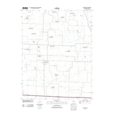
 - 2012 Map of Waverly, 2012 Print
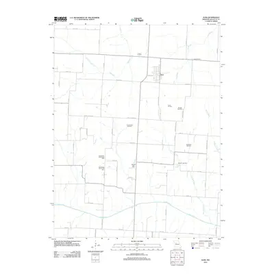
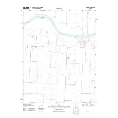 2012 Waverly2012 Print · USGSCovers Lafayette County, including Waverly, Cuba, and other nearby areas
 - 2012 Map of Carrollton East, 2012 Print
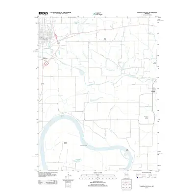 2012 Carrollton East2012 Print · USGSCovers Lafayette County, including Carrollton, Wakenda, and other nearby areas
 - 2012 Map of Grand Pass, 2012 Print
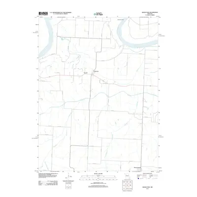 2012 Grand Pass2012 Print · USGSCovers Lafayette County, including Mount Leonard, Grand Pass, and other nearby areas
 - 2012 Map of Dover, 2012 Print
 2012 Dover2012 Print · USGSCovers Lafayette County, including Dover, Page City, and other nearby areas
 - 2012 Map of Camden, 2012 Print
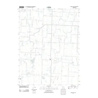
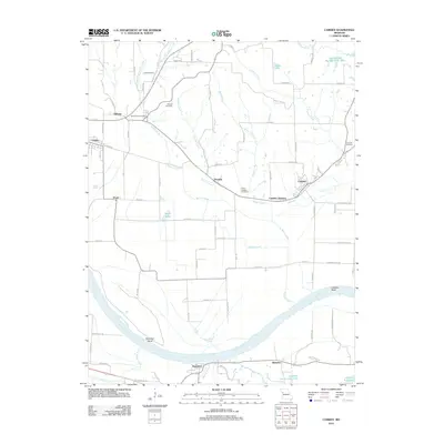 2012 Camden2012 Print · USGSCovers Lafayette County, including Orrick, Camden, and other nearby areas
 - 2012 Map of Mayview, 2012 Print
 2012 Mayview2012 Print · USGSCovers Lafayette County, including Mayview, United States, and other nearby areas
 - 2012 Map of Lexington West, 2012 Print
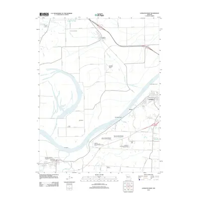 2012 Lexington West2012 Print · USGSCovers Lafayette County, including Richmond, Lexington, and other nearby areas
 - 2012 Map of Lexington East, 2012 Print
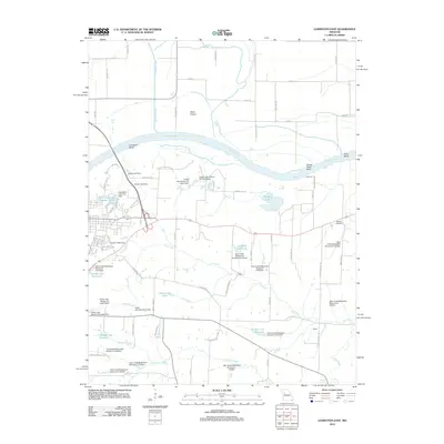 2012 Lexington East2012 Print · USGSCovers Lafayette County, including Lexington, Ray County, and other nearby areas
 - 2012 Map of Bates City, 2012 Print
 2012 Bates City2012 Print · USGSCovers Lafayette County, including Oak Grove, Bates City, and other nearby areas
 - 2012 Map of Higginsville, 2012 Print
 2012 Higginsville2012 Print · USGSCovers Lafayette County, including Higginsville, Corder, and other nearby areas
 - 2012 Map of Alma, 2012 Print
 2012 Alma2012 Print · USGSCovers Lafayette County, including Concordia, Alma, and other nearby areas
 - 2012 Map of Blackburn, 2012 Print
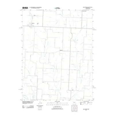 2012 Blackburn2012 Print · USGSCovers Lafayette County, including Mount Leonard, Elmwood, and other nearby areas
 - 2014 Map of Knob Noster NW, 2014 Print
 2014 Knob Noster NW2014 Print · USGSCovers Lafayette County, including Higginsville, Mount Olive, and other nearby areas
 - 2014 Map of Sweet Springs, 2014 Print
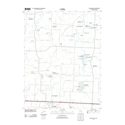
 2014 Sweet Springs2014 Print · USGSCovers Lafayette County, including Sweet Springs, Emma, and other nearby areas
 - 2014 Map of Concordia, 2014 Print
 2014 Concordia2014 Print · USGSCovers Lafayette County, including Concordia, Emma, and other nearby areas
 - 2014 Map of Odessa South, 2014 Print
 2014 Odessa South2014 Print · USGSCovers Lafayette County, including Odessa, Lake Lafayette, and other nearby areas
 - 2014 Map of Fayetteville, 2014 Print
 2014 Fayetteville2014 Print · USGSCovers Lafayette County, including Robbins, Hoffman, and other nearby areas
 - 2014 Map of Bates City, 2014 Print
 2014 Bates City2014 Print · USGSCovers Lafayette County, including Oak Grove, Bates City, and other nearby areas
Showing maps 1-25 of 76
Top cities of Lafayette County
- Odessa historical maps
- Higginsville historical maps
- Lexington historical maps
- Concordia historical maps
- Waverly historical maps
- Wellington historical maps
See more
Frequently asked questions
- What are the different types of historical maps available for Lafayette County?
- What is the oldest map of Lafayette County?
- Where can I purchase historical maps of Lafayette County for my home or office?
- Where can I download high-res historical maps of Lafayette County?
- Are there historical topographic maps available for Lafayette County?
- Is there historical aerial imagery available for Lafayette County?
- Where are historical maps of Lafayette County sourced from?