2000s (21st Century) Maps of Lewis County, Missouri
Explore 79 historic maps of Lewis County from the 2000s (21st Century). These maps offer a rare glimpse into what life looked like during the 2000s — showing old roads, neighborhoods, homes, and landmarks that have changed or disappeared over time.
Whether you're researching your family's past, planning a metal detecting trip, or studying how Lewis County's landscape evolved across the 2000s, these high-resolution maps are a powerful tool for exploring the history of this region.
- Focus on a specific era: All maps on this page are from the 2000s, giving you a focused view of this time period.
- See what’s changed: Compare century-old streets, trails, and buildings to today's modern landscape using overlays and satellite layers.
- Research with precision: Use these maps for genealogy, historical research, land use analysis, or educational projects.
- View, download, or print: Maps are fully viewable online in high resolution, and can be downloaded or printed for your own records.
Start exploring Lewis County's history through authentic maps from the 2000s. This is your window into the past.
Lewis County, MO maps
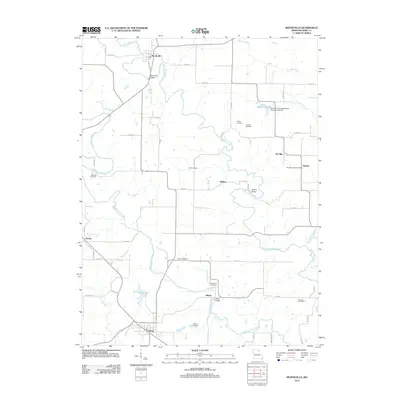
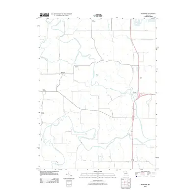
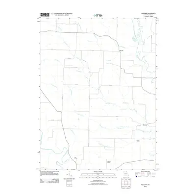
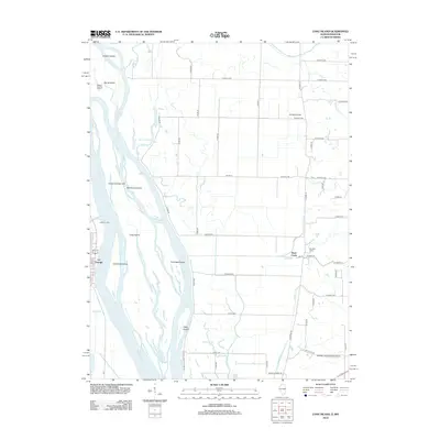
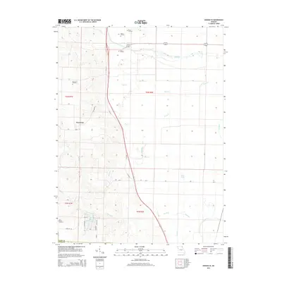
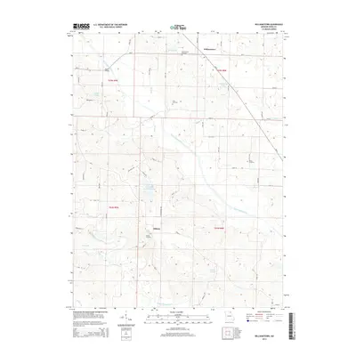
(79)- 2012 Map of Williamstown, 2012 Print
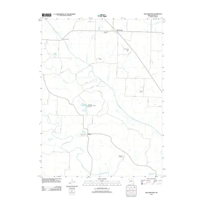 2012 Williamstown2012 Print · USGSCovers Lewis County, including Williamstown, Midway, and other nearby areas
 - 2012 Map of Deer Ridge, 2012 Print
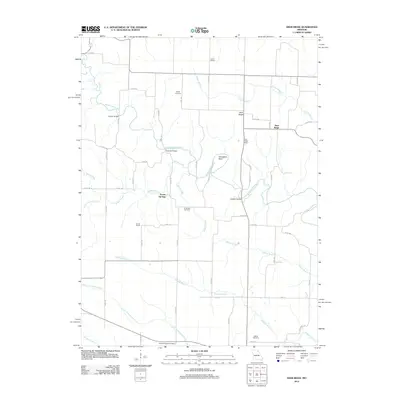 2012 Deer Ridge2012 Print · USGSCovers Lewis County, including Deer Ridge, Forest Springs, and other nearby areas
 - 2012 Map of Colony, 2012 Print
 2012 Colony2012 Print · USGSCovers Lewis County, including Colony, Fairmont, and other nearby areas
 - 2012 Map of Lewistown, 2012 Print
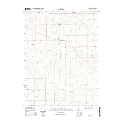
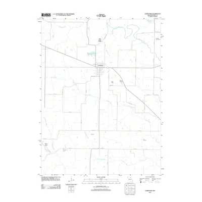 2012 Lewistown2012 Print · USGSCovers Lewis County, including Lewistown, New Court Village, and other nearby areas
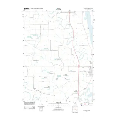
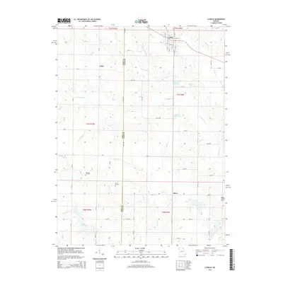
 - 2012 Map of La Belle, 2012 Print
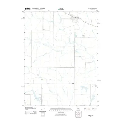 2012 La Belle2012 Print · USGSCovers Lewis County, including La Belle, Salem, and other nearby areas
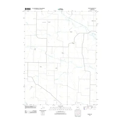
 - 2012 Map of Monticello, 2012 Print
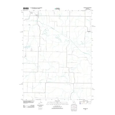
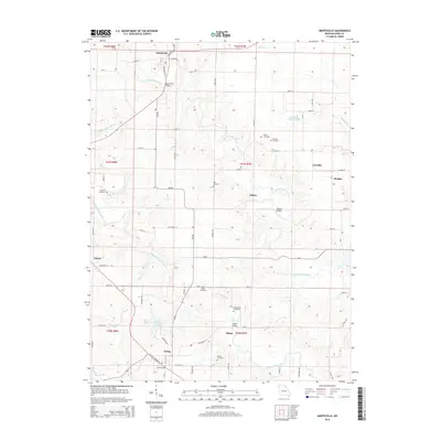
 2012 Monticello2012 Print · USGSCovers Lewis County, including Ewing, Monticello, and other nearby areas
 - 2012 Map of Saint Patrick, 2012 Print
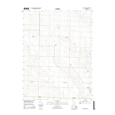
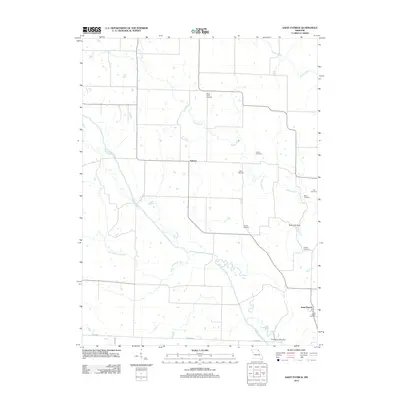 2012 Saint Patrick2012 Print · USGSCovers Lewis County, including Antioch, Saint Patrick, and other nearby areas
 - 2012 Map of Durham, 2012 Print
 2012 Durham2012 Print · USGSCovers Lewis County, including Benbow, Emerson, and other nearby areas
 - 2012 Map of Nelsonville, 2012 Print
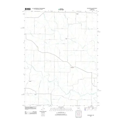 2012 Nelsonville2012 Print · USGSCovers Lewis County, including Nelsonville, Argola, and other nearby areas
 - 2012 Map of Maywood, 2012 Print
 2012 Maywood2012 Print · USGSCovers Lewis County, including Taylor, Maywood, and other nearby areas
 - 2012 Map of La Grange, 2012 Print
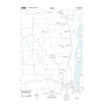
 2012 La Grange2012 Print · USGSCovers Lewis County, including Canton, La Grange, and other nearby areas
 - 2012 Map of Kahoka SE, 2012 Print
 2012 Kahoka SE2012 Print · USGSCovers Lewis County, including Winchester, Clark County, and other nearby areas
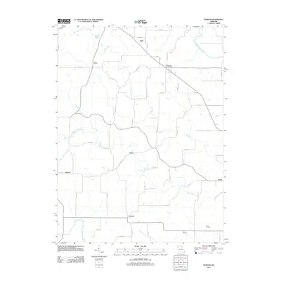
 - 2012 Map of Neeper, 2012 Print
 2012 Neeper2012 Print · USGSCovers Lewis County, including Neeper, Union, and other nearby areas
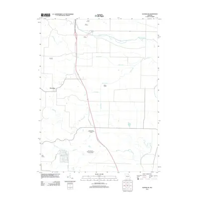
 - 2012 Map of Benjamin, 2012 Print
 2012 Benjamin2012 Print · USGSCovers Lewis County, including Benjamin, Derrahs, and other nearby areas
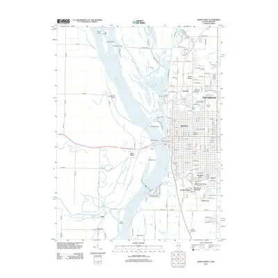
 - 2012 Map of Canton, 2012 Print
 2012 Canton2012 Print · USGSCovers Lewis County, including Canton, Meyer, and other nearby areas
 - 2012 Map of Newark, 2012 Print
 2012 Newark2012 Print · USGSCovers Lewis County, including Newark, Elgin, and other nearby areas
 - 2012 Map of Quincy West, 2012 Print
 2012 Quincy West2012 Print · USGSCovers Lewis County, including Quincy, North Quincy, and other nearby areas
 - 2012 Map of Long Island, 2012 Print
 2012 Long Island2012 Print · USGSCovers Lewis County, including La Grange, Ursa, and other nearby areas
 - 2012 Map of Lima, 2012 Print
 2012 Lima2012 Print · USGSCovers Lewis County, including Lima, Adams County, and other nearby areas
 - 2014 Map of Monticello, 2014 Print
 2014 Monticello2014 Print · USGSCovers Lewis County, including Ewing, Monticello, and other nearby areas
 - 2014 Map of Lewistown, 2014 Print
 2014 Lewistown2014 Print · USGSCovers Lewis County, including Lewistown, New Court Village, and other nearby areas
 - 2014 Map of Saint Patrick, 2014 Print
 2014 Saint Patrick2014 Print · USGSCovers Lewis County, including Antioch, Saint Patrick, and other nearby areas
 - 2014 Map of Kahoka SE, 2014 Print
 2014 Kahoka SE2014 Print · USGSCovers Lewis County, including Winchester, Clark County, and other nearby areas
 - 2014 Map of Williamstown, 2014 Print
 2014 Williamstown2014 Print · USGSCovers Lewis County, including Williamstown, Midway, and other nearby areas
 - 2014 Map of La Belle, 2014 Print
 2014 La Belle2014 Print · USGSCovers Lewis County, including La Belle, Salem, and other nearby areas
Showing maps 1-25 of 79
Top cities of Lewis County
- Canton historical maps
- La Grange historical maps
- La Belle historical maps
- Lewistown historical maps
- Ewing historical maps
- Monticello historical maps
Frequently asked questions
- What are the different types of historical maps available for Lewis County?
- What is the oldest map of Lewis County?
- Where can I purchase historical maps of Lewis County for my home or office?
- Where can I download high-res historical maps of Lewis County?
- Are there historical topographic maps available for Lewis County?
- Is there historical aerial imagery available for Lewis County?
- Where are historical maps of Lewis County sourced from?